
Destinations & Things To Do
See AAA best, worst times for road trip

Here’s how wearing white after Labor Day became a fashion faux pas
You’ve likely heard that wearing white after Labor Day is a no-no. Here’s this history behind this long-standing fashion faux pas.
- Labor Day falls on Monday, Sept. 1, 2025.
- Orlando and Miami are among the Top 10 domestic travel destinations for Labor Day weekend.
- Domestic flight prices for 2025 Labor Day weekend are down 6% compared to last year.
The unofficial close to summer is almost here. Are you celebrating?
Labor Day is Monday, Sept. 1, which means a three-day weekend for most of the country and a lot of travelers on the road, according to AAA.
“Labor Day caps off summer travel and provides one final holiday weekend before the fall routine begins,” Stacey Barber, vice president of AAA Travel, said.
“The top cities on the domestic and international lists are Seattle and Vancouver, both port cities for Alaska cruises. While some people are going on dream cruises or European vacations, many travelers are staying closer to home and taking road trips to nearby beaches or national parks.”
When is Labor Day 2025?
Labor Day is the first Monday in September. This year, it falls on Monday, Sept. 1, 2025.
It is one of the 11 federal holidays in the U.S.
Floridians, beware: Other states are heading to these two Florida cities for vacation
Whether Florida residents plan on traveling or relaxing at home all weekend, they might want to be aware of the thousands of others joining them. According to AAA, two Florida cities made the Top 10 domestic destinations:
- Seattle
- Orlando
- New York
- Boston
- Anchorage
- Chicago
- Atlanta
- Denver
- Miami
- Las Vegas
What will gas prices look like around Labor Day 2025 for Florida drivers?
According to AAA, summer gas prices have remained low. Last year’s national average for a gallon of regular was $3.33 on Labor Day.
“Barring a tropical storm or hurricane affecting Gulf Coast refineries, gas prices should stay below what they were last year. So far in 2025, gas prices have seen few fluctuations thanks to steady crude oil prices.”
When are the best and worst times to travel on Labor Day 2025?
For those planning a road trip for Labor Day weekend, transportation data and insights provider INRIX offers the best times to get on the road. The company recommended drivers hit the road in the morning.
“Traffic congestion worsens as the day progresses. The worst times to drive over the holiday weekend are typically in the afternoon and early evening,” INRIX wrote. “Saturday is expected to be extra busy with many drivers heading out of town or taking day trips.”
What are the busiest travel days around Labor Day?
Thursday, Aug. 28, 2025
- Best times: Before 1 p.m.
- Worst times: Between 1 p.m. and 8 p.m.
Friday, Aug. 29, 2025
- Best times: Before noon
- Worst times: Between noon and 8 p.m.
Saturday, Aug. 30, 2025
- Best times: Between 6 a.m. and 10 a.m.
- Worst times: Between 10 a.m. and 6 p.m.
Sunday, Aug. 31, 2025
- Best times: Before 11 a.m.
- Worst times: Between noon and 5 p.m.
Monday, Sept. 1, 2025
- Best times: Before noon
- Worst times: Between 1 p.m. and 4 p.m.
Is Labor Day weekend busy for airports? AAA says yes
Airports will be busy this weekend, especially for those heading to Florida. AAA says many travelers are flying into Orlando, New York, Denver, and Atlanta for “sightseeing, attractions, and events.”
Good news, though — it’s cheaper than usual! AAA reports that domestic round-trip flights are 6% cheaper compared to last year, averaging $720 a ticket.


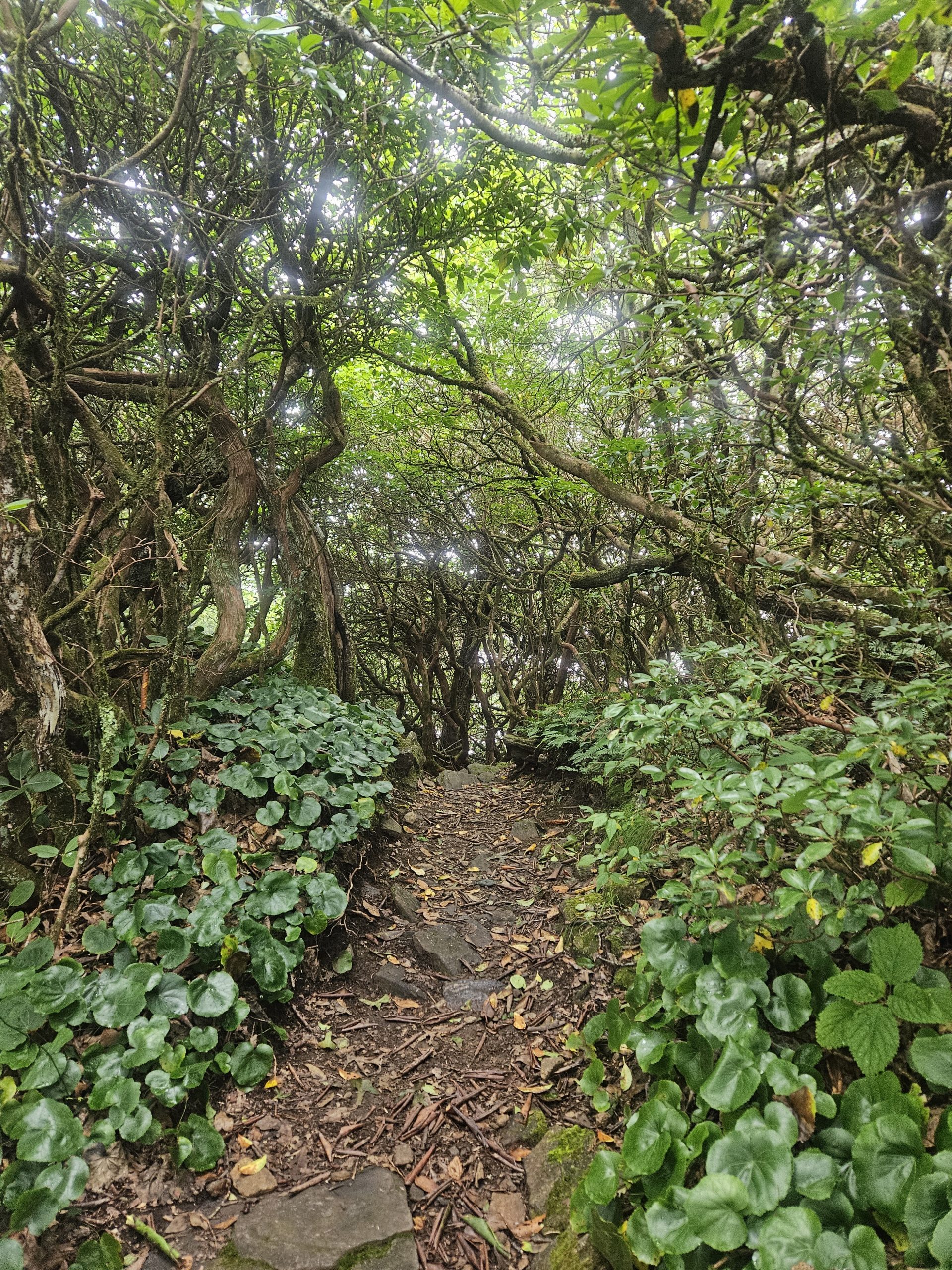
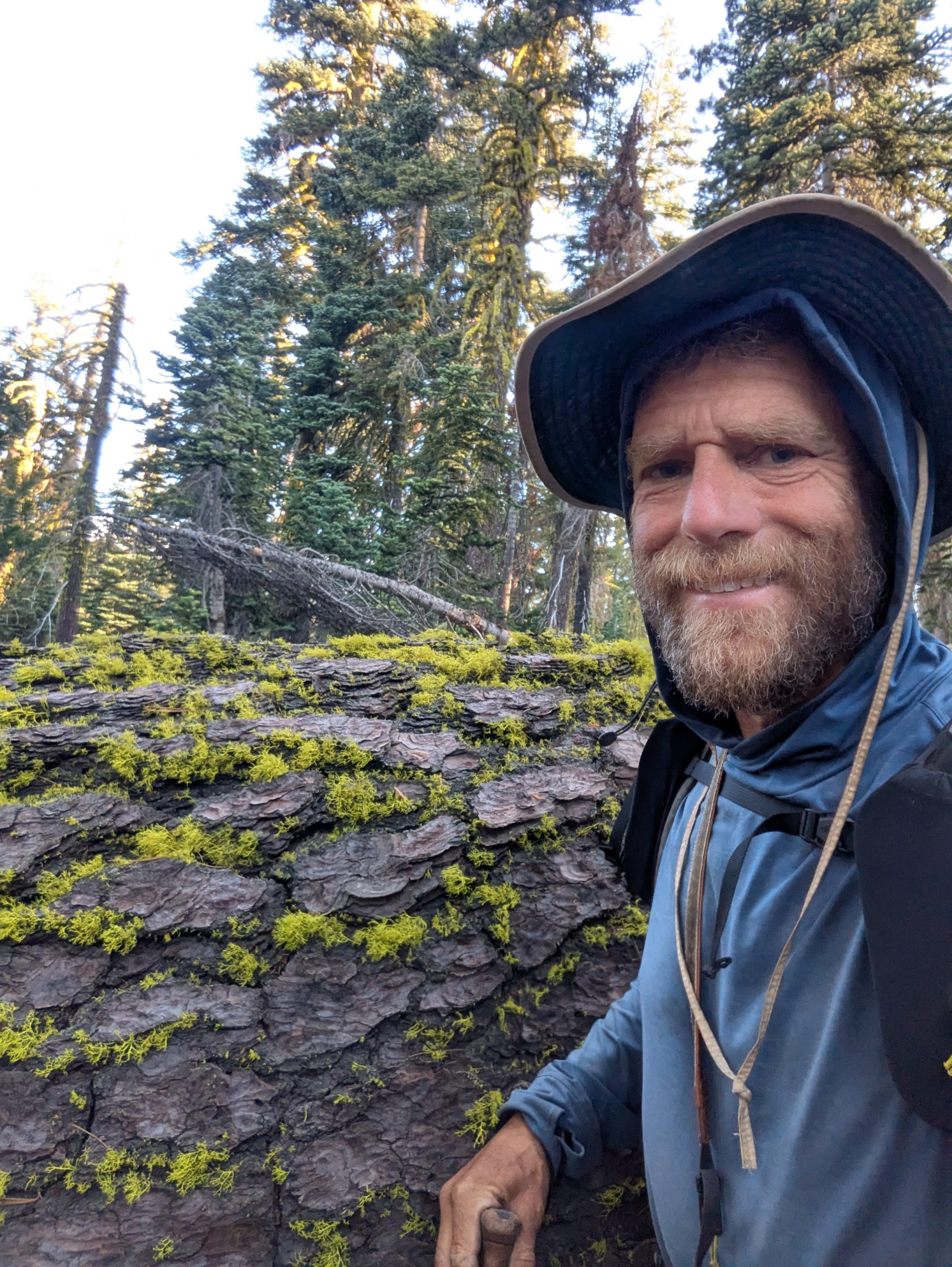
It was great to be back in the land of switchbacks, rhododendrons, and good barbecue! Georgia welcomed us in every way we could have asked for, including relatively mild weather and beautiful, uncrowded spaces. The excellent conditions made it easy to roll through the miles quickly and soak up the special charm of late-summer hiking. An experiment with faster pace and somewhat odd advice to “listen to the creek” helped me remember that this journey isn’t a race.
AT Box Score
- Friendly People – 75/75
- Interesting Wild Critters – 0
- Errors – 1
- Injury Report – Intermittent left shoulder pain and left hip pins-and-needles pain, numb big toes
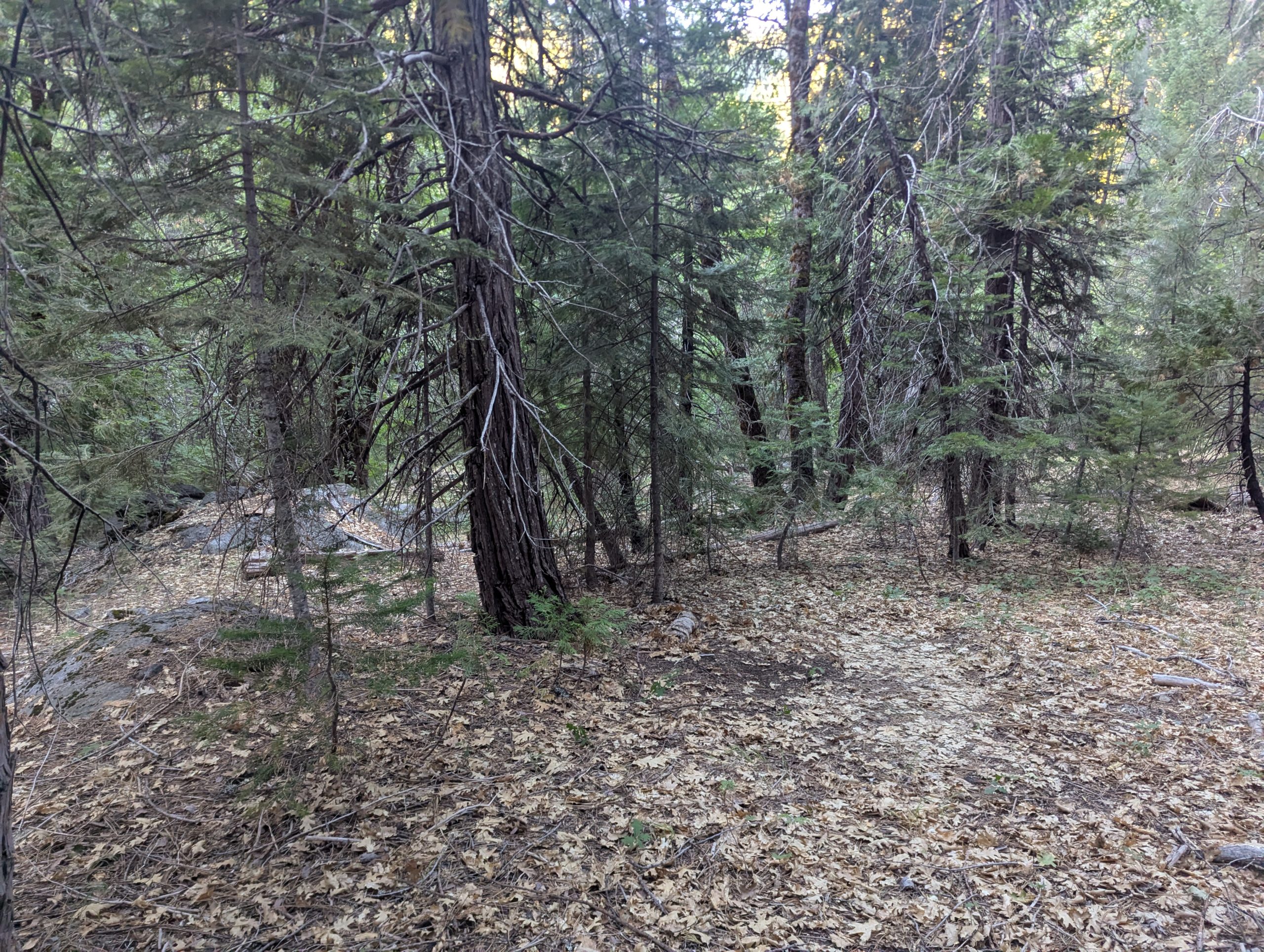
We saw fewer people in Georgia, but the abundance of kindness made the nice-per-capita sky high in the Peach State. We hadn’t settled many of the details of getting on Trail at the southern terminus, so we were surprised and happy to find that the campground at Amicalola Falls State Park had space at the last minute. The helpful folks at the lodge gave us beautifully detailed instructions for the backroads drive that would get us within an easy mile of the southern terminus on Springer Mountain. Within a few miles of hitting the Trail, I met the rumored resident of Stover Creek shelter and received his helpful advice to stop by the creek, because it talks to you if you listen. Shortly afterward, Blue Bear ran into a trail crew that jokingly said they were tidying up because they heard I was coming. While I didn’t have the Trail entirely to myself, it did feel very much like the path was spiffed up just for me! Finally, the good folks at The Happy Hawg in Hiawassee reminded us how barbecue should be done. Coupled with all that kindness, I was fortunate to have Beancounter’s longtime friend drive up from his home in Atlanta to join me for a day. I hardly knew what to do with all the hospitality!
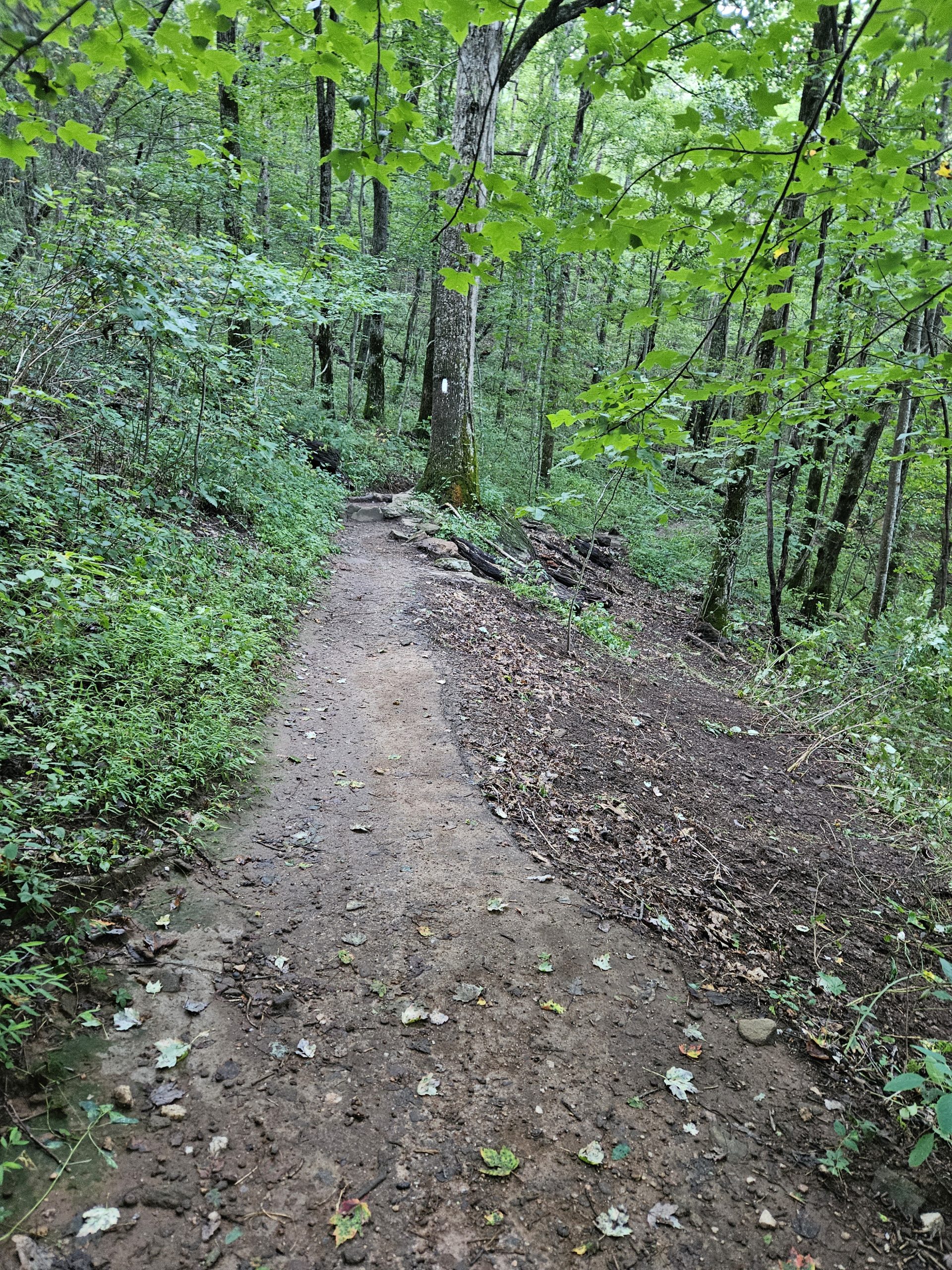
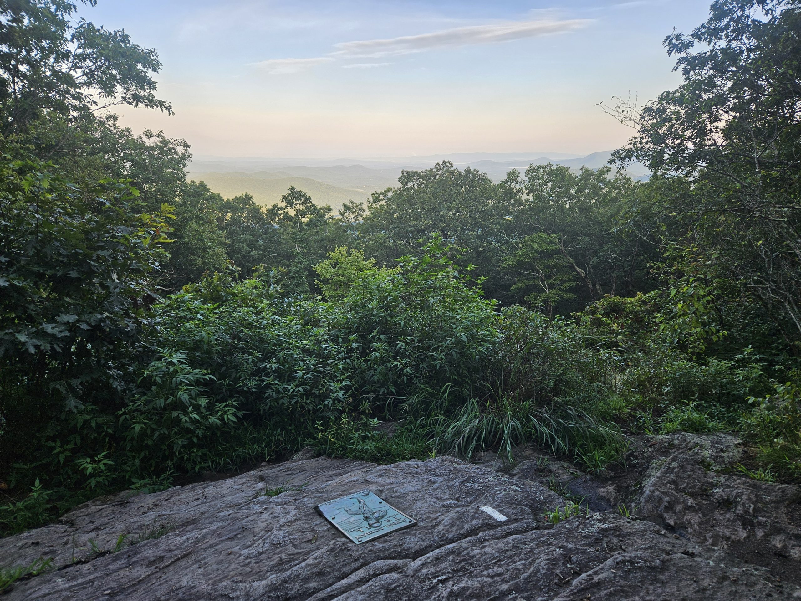
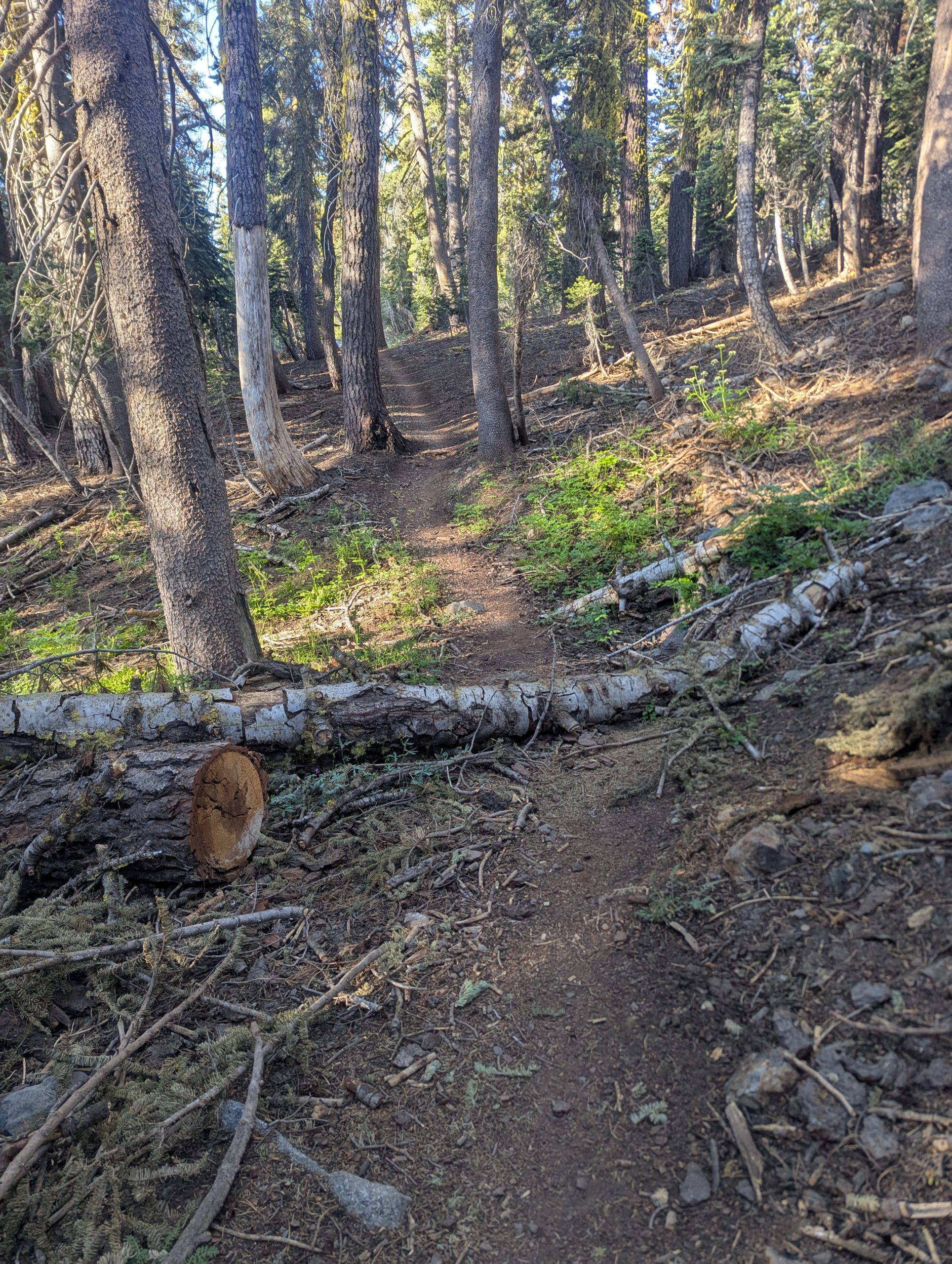
There was a crew out shaping up the Trail in front of me. Despite overnight rain, there wasn’t a bit of mud to be found because of the excellent grading.
My error this time was a social mistake, driven by haste. I was enjoying the beautiful trail maintenance by the Georgia Appalachian Trail Club (GATC) when I met two section hikers out for a long weekend. They seemed excited about their time in the woods and interested in my journey. Among other questions, they asked me where I had gotten water recently. I answered quickly, without thinking too much about the question behind the question. It occurred to me, too long after I’d passed them, that they may not have had a clear idea of where to get water. While every hiker’s safety and well-being is their own responsibility, I think a little kindness goes a long way. I regret not taking the two minutes it would have required to ensure they had the information they needed.
Silk Blazing
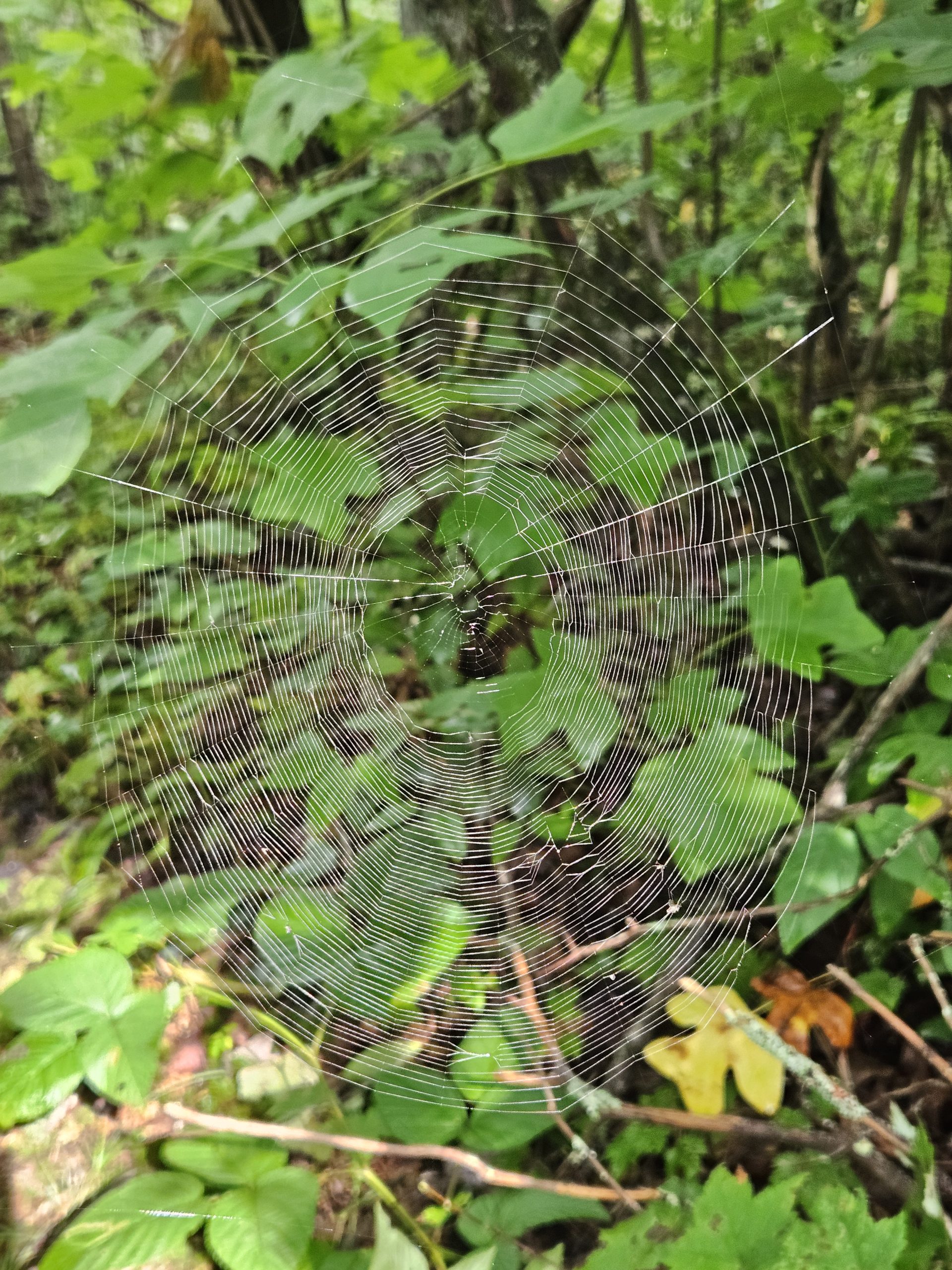
I’ve learned that hikers like to make up lingo to cover the oddities of this alternate reality. One of my favorite phrases covers the less-than-silky experience of walking into spiderwebs. Until I left the main stream of thru-hikers, this was never much of an issue for me. I could always count on some early riser or southbound hiker knocking them out of the way for me. This week, I had to learn the fine art of spider web relocation. In Georgia, I spent a lot of time waving my trekking poles in front of me, absurdly looking like I was trying to cast spells on the forest, in an attempt to remove as many webs as possible. But when the sunlight was at the wrong angle or I was very focused on my footing, I ended up with a face full of web and a spider dangling from the bill of my ballcap. I’m squarely on Team Spider (unless we’re talking about the University of Richmond, but that’s another topic) and appreciate the role they play getting rid of pesky bugs, I just really don’t want them in my face.
2.0 > 2.7
For 1730 miles of my AT journey, I could reliably count on averaging about 2 miles per hour, except in New Hampshire. This included all the bits of time during the day that weren’t productive movement toward Maine – filtering water, eating snacks, enjoying views, taking photos, chatting with passing hikers, stepping around rocks and roots, seeing and avoiding snakes, skirting the poison ivy. This statistic isn’t particularly relevant for anything or impressive relative to the speediest hikers, it just helped me plan my days.
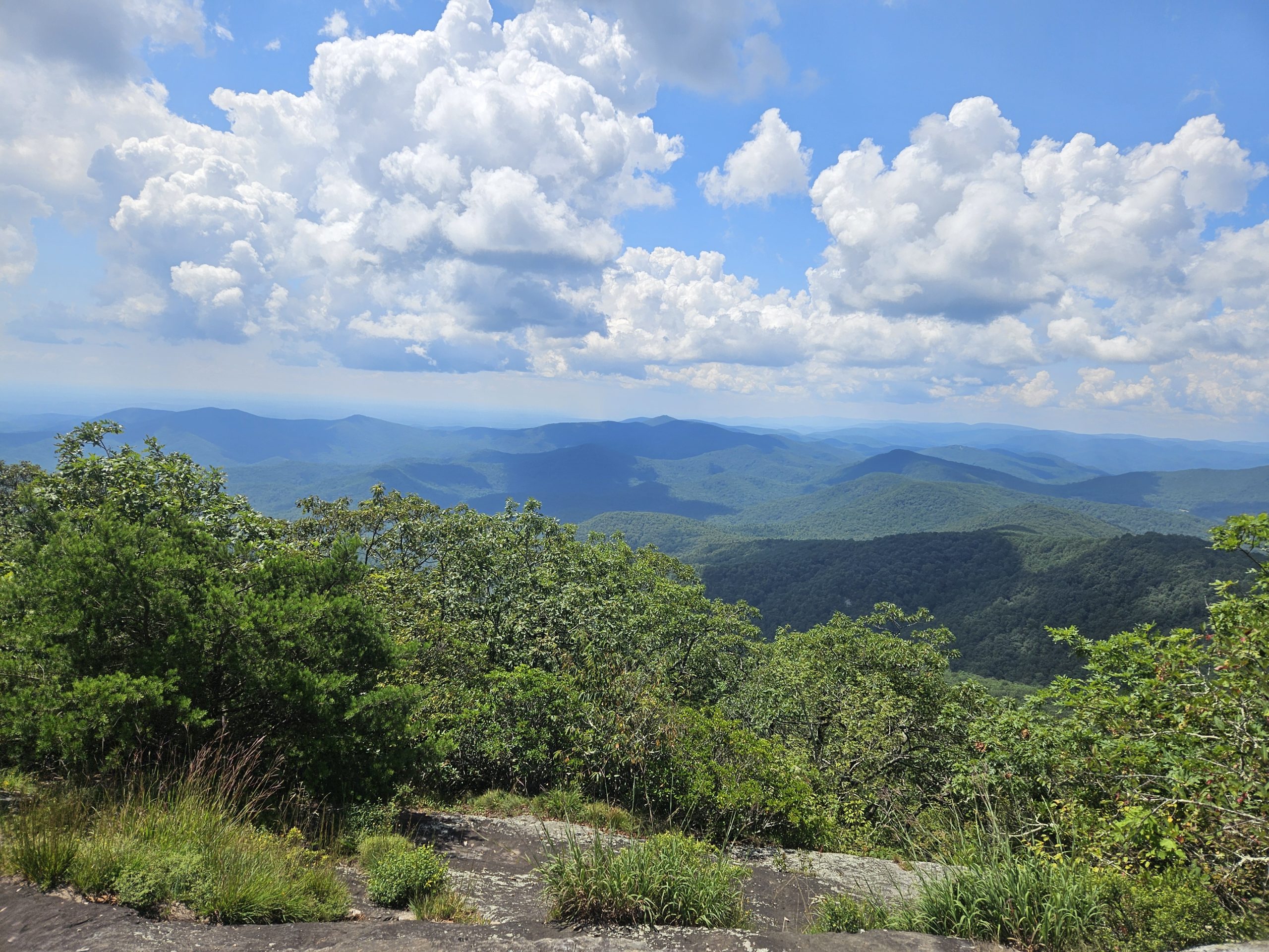
In Georgia, I found myself staring at a weather forecast for afternoon thunderstorms and, with my mad dash off the ridge above Harper’s Ferry in a lightning storm still fresh in my mind, I wondered what it would take to finish the day’s miles before the lightning started. I’ve heard reports that Georgia mud is “slick as snot” and didn’t feel like testing my luck against that; I’d also determined that Georgia rocks are NOT the grippy kind you can rely on in the rain. I had 21.4 miles (4760 ascent/4590 descent) planned and an estimated nine hours before the electric sky show was expected. A 2 mph pace wasn’t going to work, so I decided to test myself. Initially, I just wanted to get under cover before the storms, but my stubborn competitive brain amped up the pressure to see how fast I could go. How would it feel to move down the Trail at my top speed?
The conditions were perfect – I had new shoes with maximum grip and cushion, the Trail would stay above 3000 feet in elevation all day making the heat and humidity less oppressive, there were very few people on Trail to chat with, the terrain promised steady footing, water was available right on Trail, and (my apologies, Georgia) there wasn’t much to see or photograph. The only issue was the aforementioned silk blazing, which ended the moment I passed my first southbound hiker.
The results:
- I beat the rain by an hour; no lightning came with it.
- I rolled into Unicoi Gap exactly eight hours after starting the day, having averaged a 2.7 mph pace, including stops, for 21.4 miles.
- There were no injuries, critter attacks, or poison ivy encounters.
- I drank about 2/3 of my normal water, so I felt dehydrated.
- I woke up the following night with the munchies, a sure sign that I was under-caloried for the day.
- I caught a record six spiders dangling from the bill of my ballcap.
- I regret not stopping to ensure that the weekend hikers had the knowledge of where to get water.
All things considered, the faster pace was more stressful than helpful. I feel pretty proud and it’s helpful to know I can ramp it up if the need arises. With less humidity and better terrain, could I go as fast a 3.0 mph? Maybe, but I already know that 2.0 is greater for me.
Curiosities from the Trail
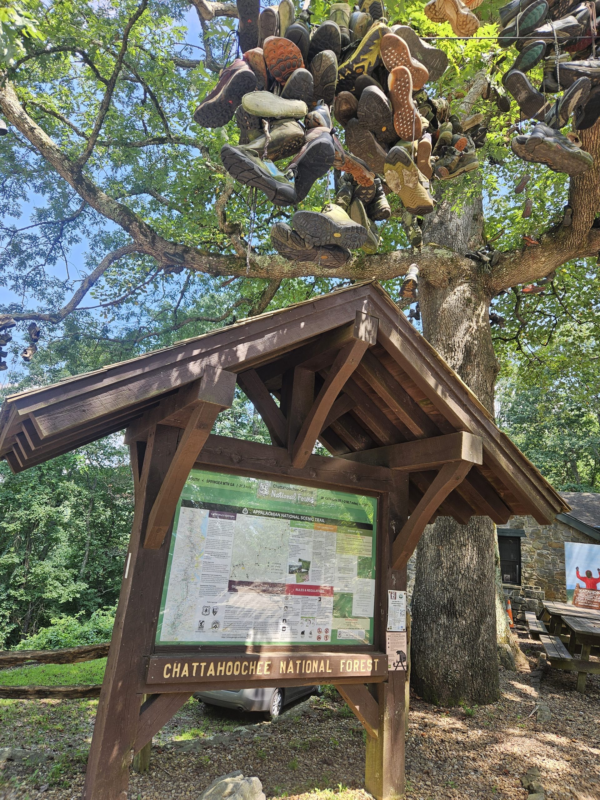
Mountain Crossings, a hostel and outfitter housed in a beautiful stone structure built in 1937 by the CCC, sits at mile ~30 of the Appalachian Trail. Hikers who are either done with the Trail or done with the particular pair of shoes they are wearing will throw them into the trees in front of the store. Looking at the collection of shoes above me, I had so many questions. How often do they cut the shoes down? Does anyone ever try to reuse them? Is it all just staged, in an attempt to sell more shoes? Is that duct tape holding one of the shoes together?
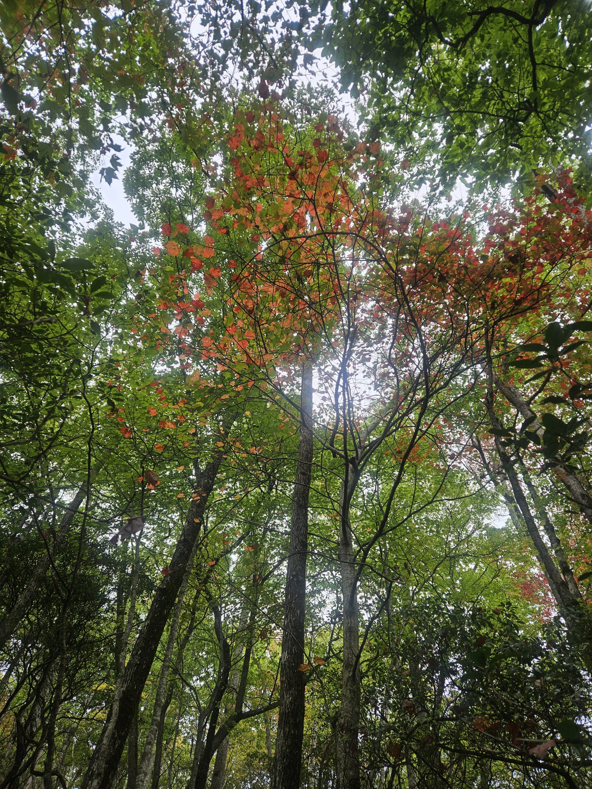
Remember to Look for Beauty
I rarely tilt my gaze straight up while hiking, but in this case I’m glad I did. A bit of early Fall color with the right light made this look a lot like stained glass.
State Limerick
The gentle hills and helpful people in Georgia were a delight.
- Up hills and down gaps, the Trail winds
- A better prepped path you won’t find
- My walk was fast paced
- I didn’t love haste
- The folks and terrain were so kind!
~~~~~~~~~~~~~~~~~~~~~
Help me reach my goal of raising $25,000 for the ATC this year.
This website contains affiliate links, which means The Trek may receive a percentage of any product or service you purchase using the links in the articles or advertisements. The buyer pays the same price as they would otherwise, and your purchase helps to support The Trek’s ongoing goal to serve you quality backpacking advice and information. Thanks for your support!
To learn more, please visit the About This Site page.

21.7 miles
From trail camp (mile 1194, elev 4783)
To trail camp (mile 1210.7, elev 6833)
Climb 4841
Descend 2761
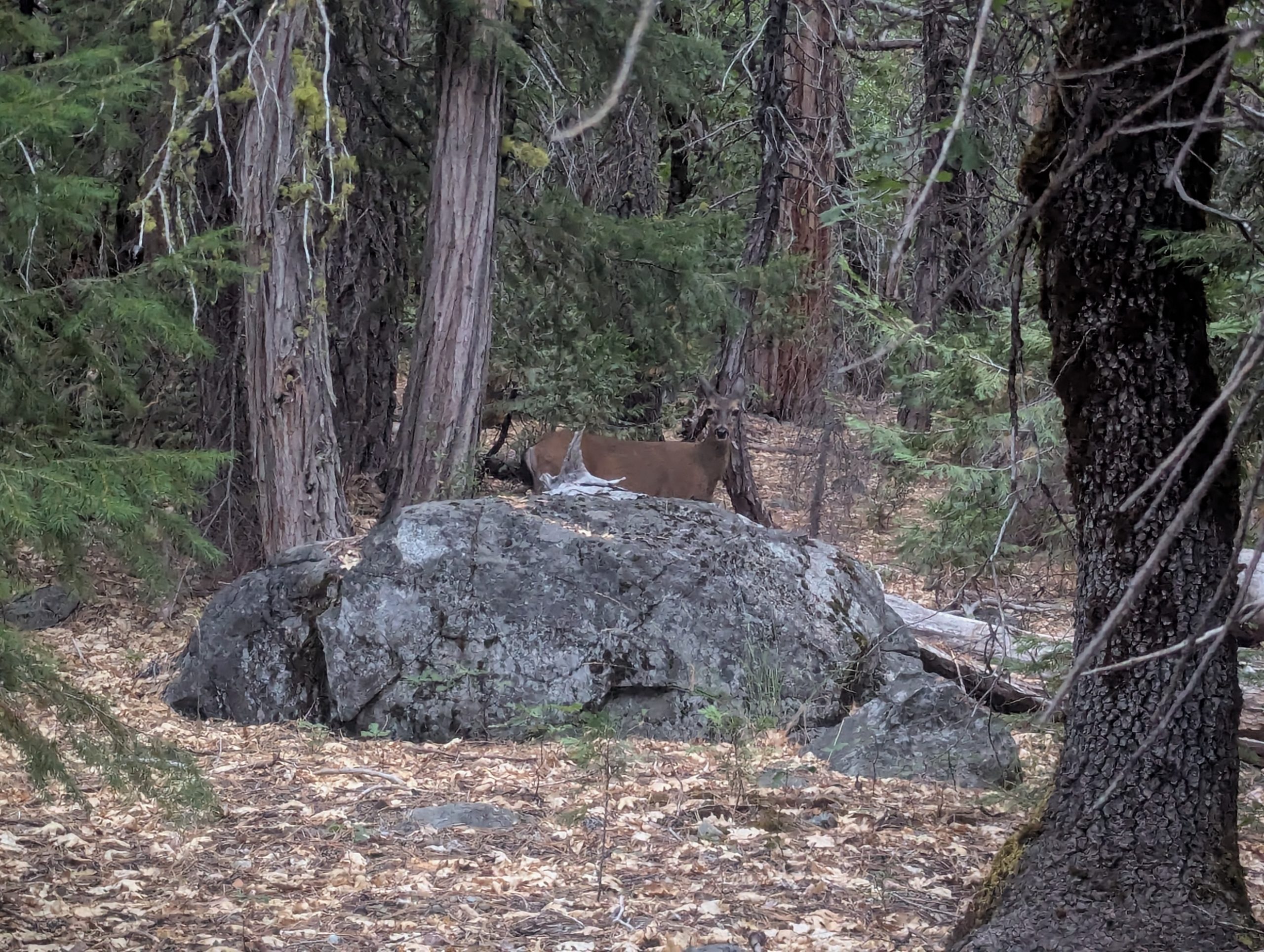
Only a few miles outside Sierra City when I woke up, I wanted to hop into town to pick up a little more food/calories. During the 1.5 mile walk along the road from the trail to the town, I didn’t have any luck hitchhiking, but I did take a little side rout through a residential area and have a pleasant conversation with a woman who lives there and clearly spends lots of time in her garden – and who spends effort keeping the deer from eating the things she likes by also providing other things the deer like.
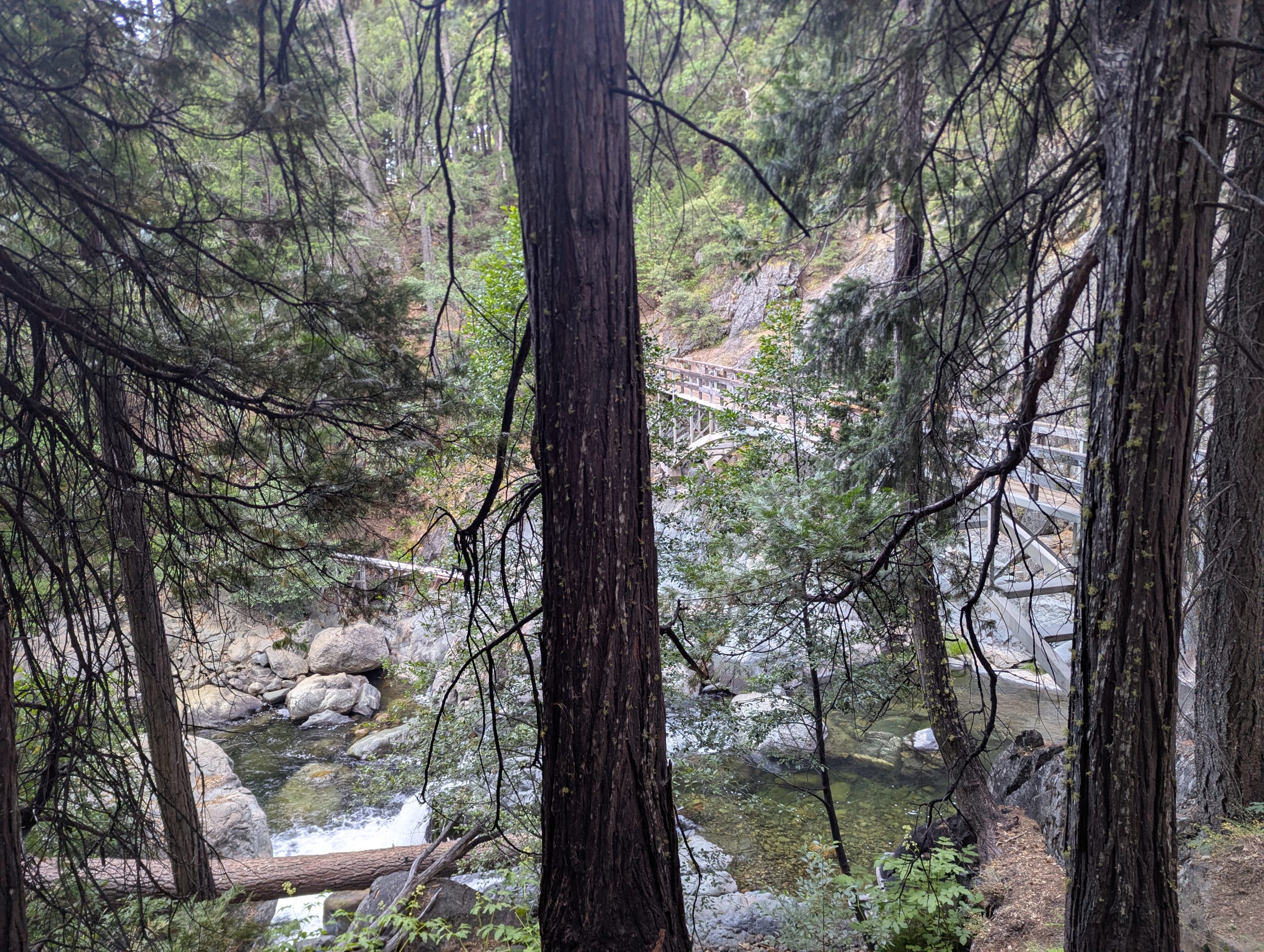
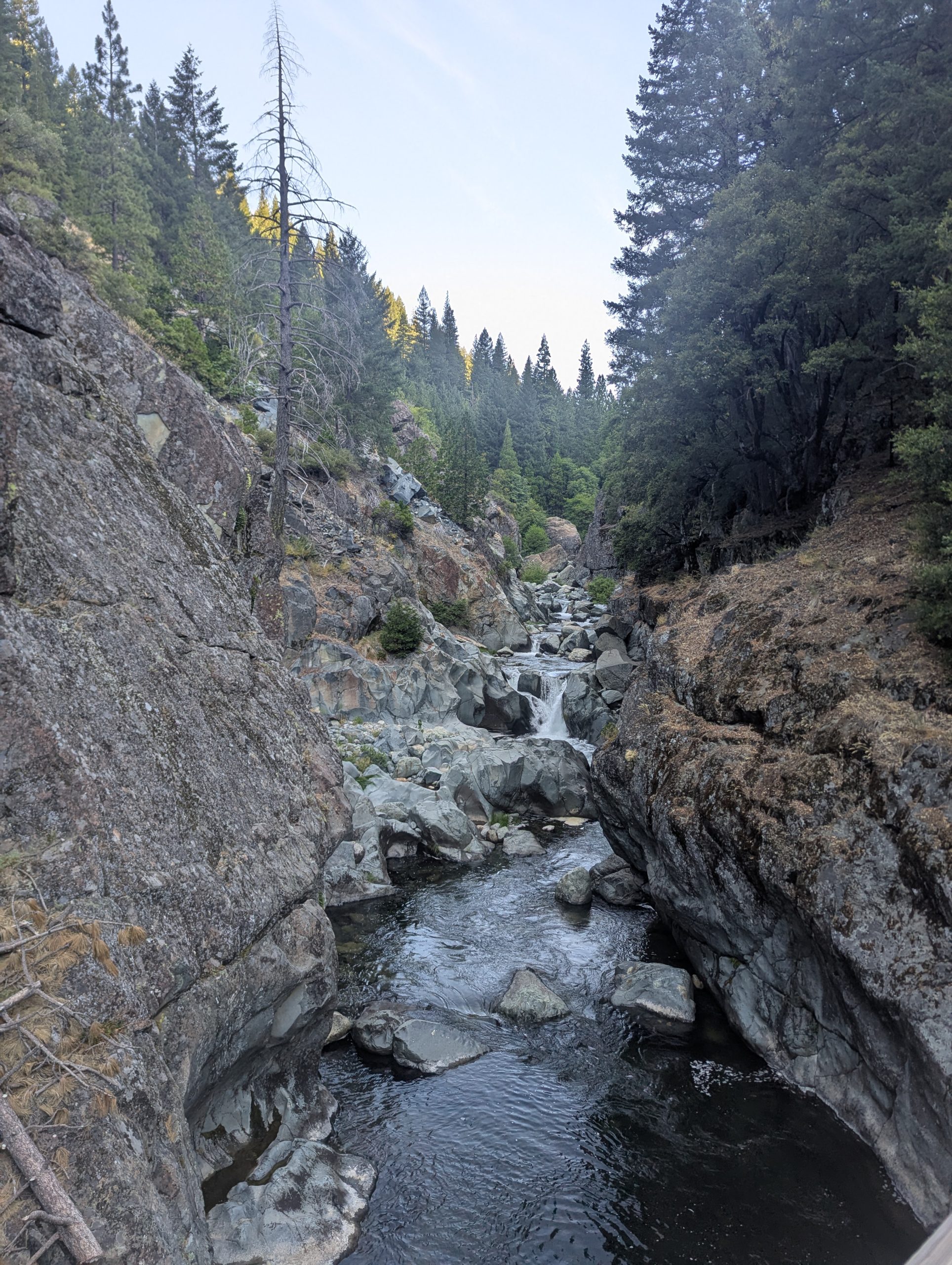
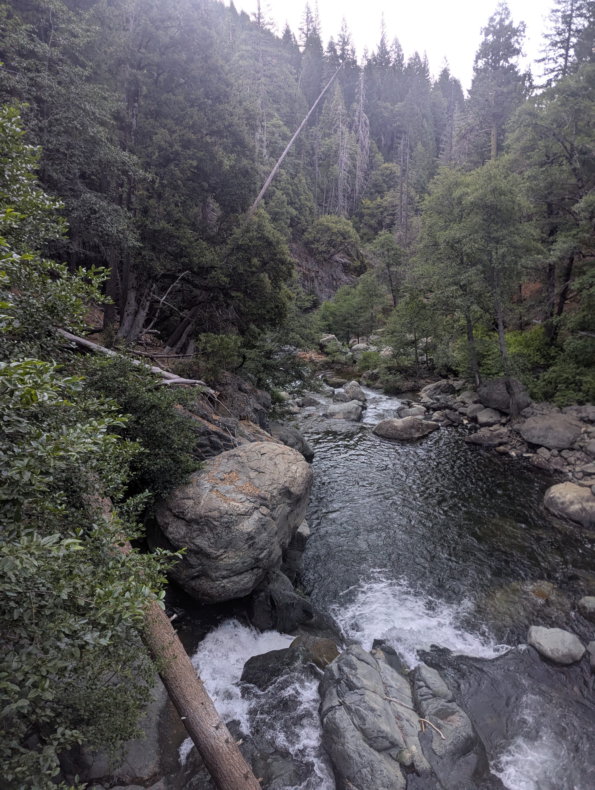
The Yuba River, like so many rivers I have crossed, was really pretty amazing.
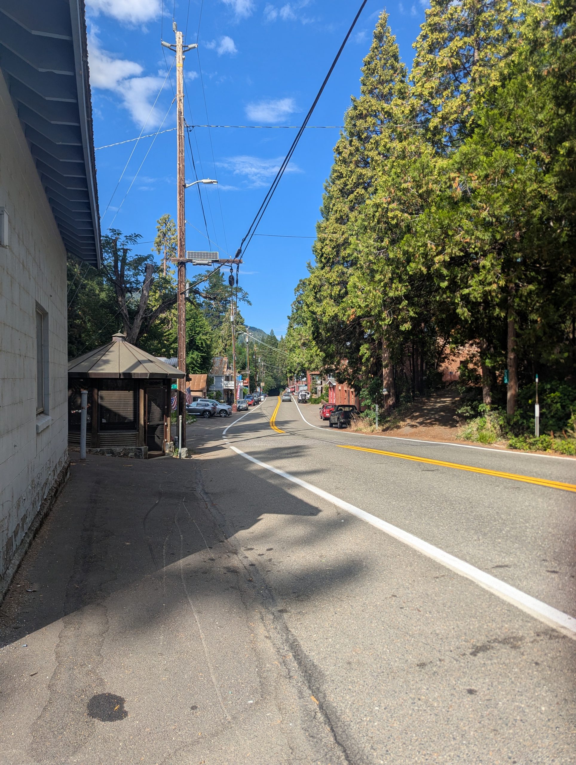
I stopped at the general store in Sierra City. It had lots of things that a hiker might want, but wasn’t complete enough to give the feel that it was stocked by a hiker. With half the items having no listed price and the other half being very expensive, it also felt like they were not expecting return business from many hikers. It certainly didn’t feel like it encouraged me to return to Sierra City, though the town itself seemed very cute. I bought a few “essentials” and then started hiking back up the road towards the trail. This time, I got lucky hitching and someone gave me a ride for most of the distance back to the trail.
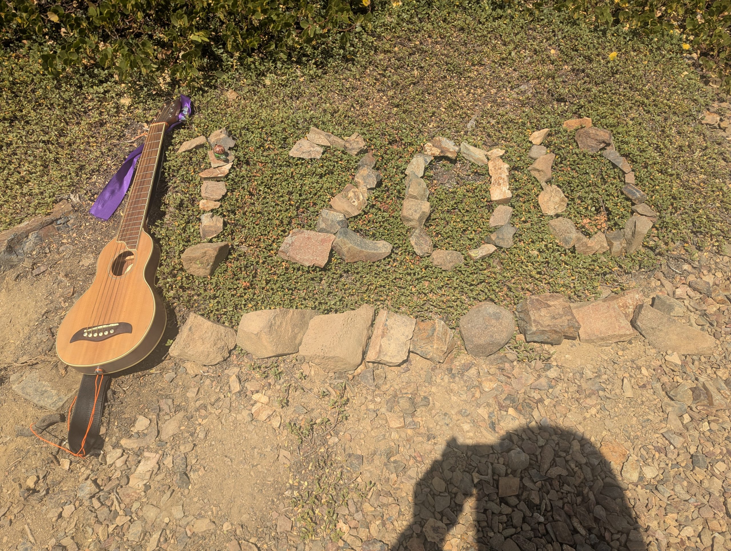
I’m not completely sure what it is about them, but I find the rock/stick markers on the side of the trail that signify every 100 miles to be very satisfying. I guess it is a concrete sign of the progress I’ve made. I usually take a little break to get my photo of the marker, usually with Peppermint (my little camping turtle) and Chickadee (my backpacking guitar has a trail name now), and play/sing a song or two.
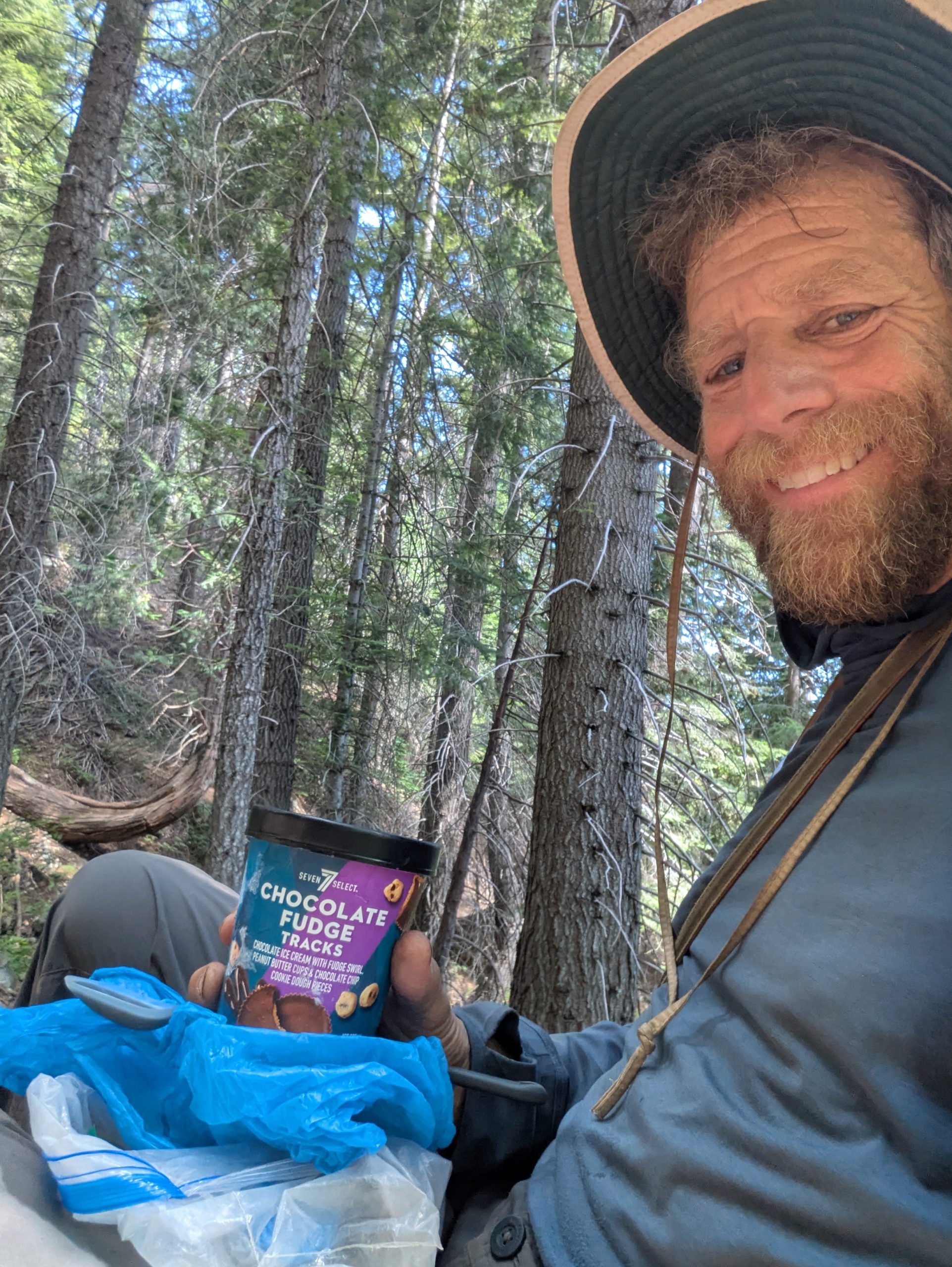
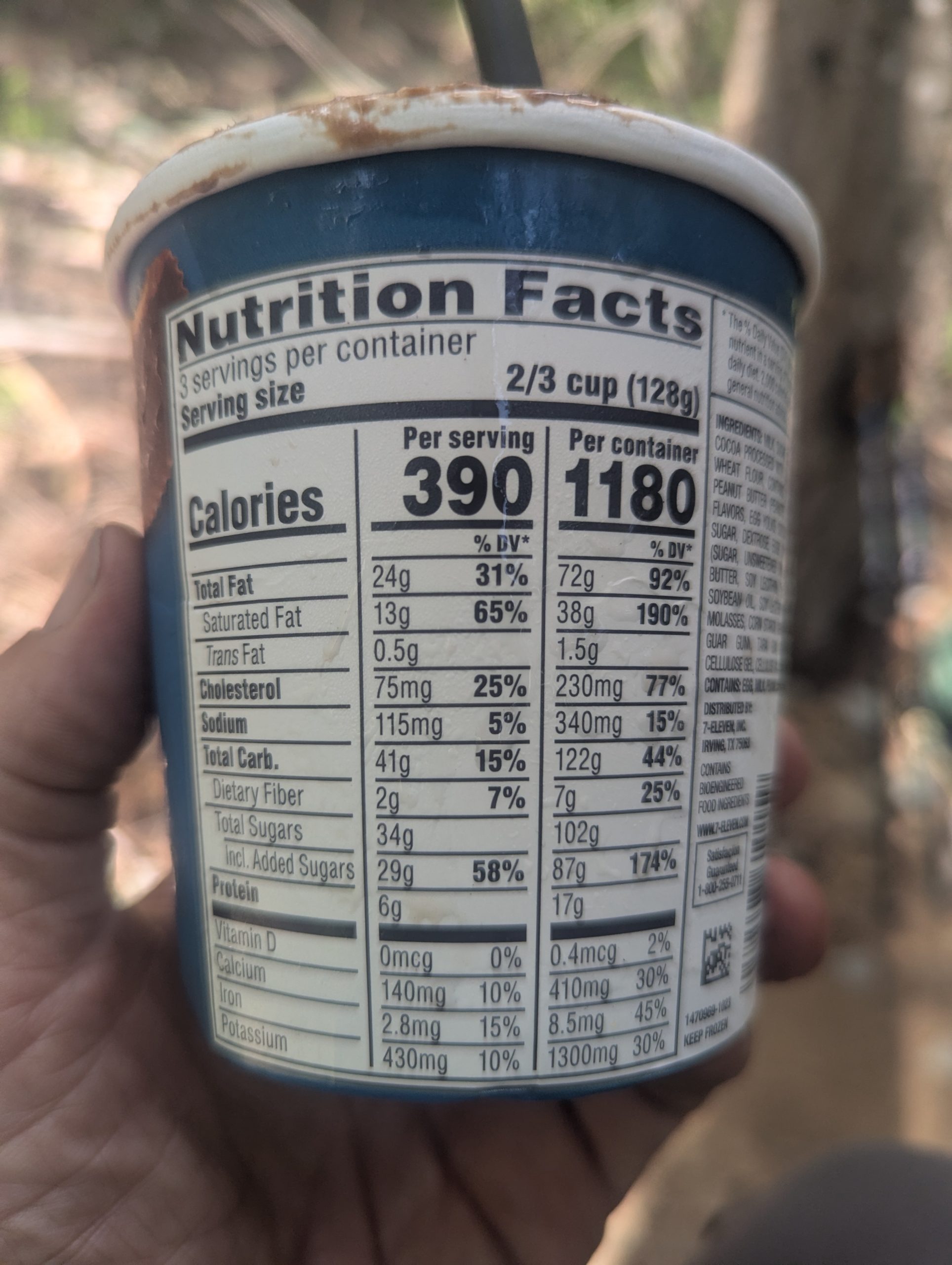
The climb out of Sierra City has a reputation for being hard. There was a steady 2000 foot climb (up to the 1200 mile marker), but I really didn’t find it all that bad. The trail was smooth enough that I could just take smaller steps and make my way up. It was also during the climb that the pint of ice cream I bought in Sierra City had softened enough that I could eat it. Truly a great trail breakfast!
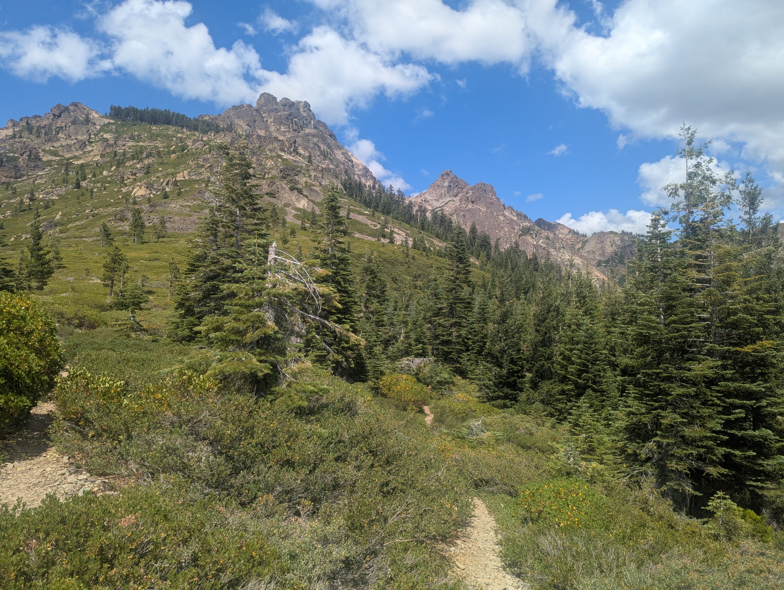
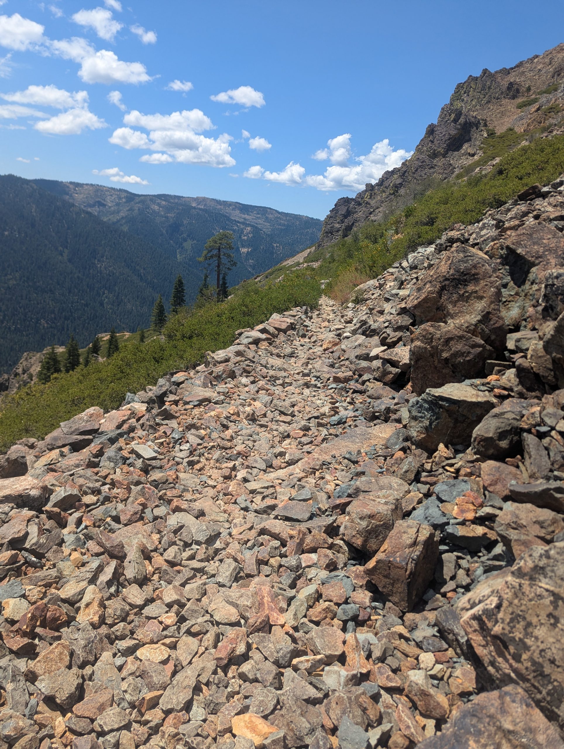
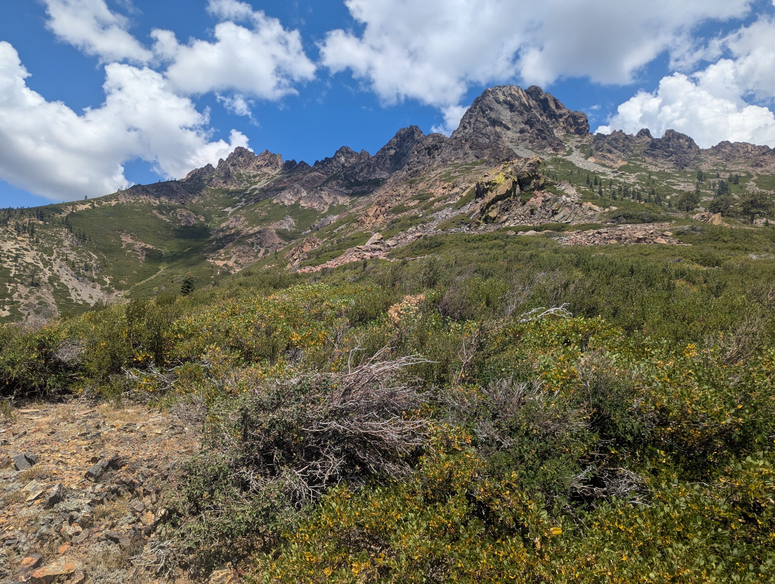
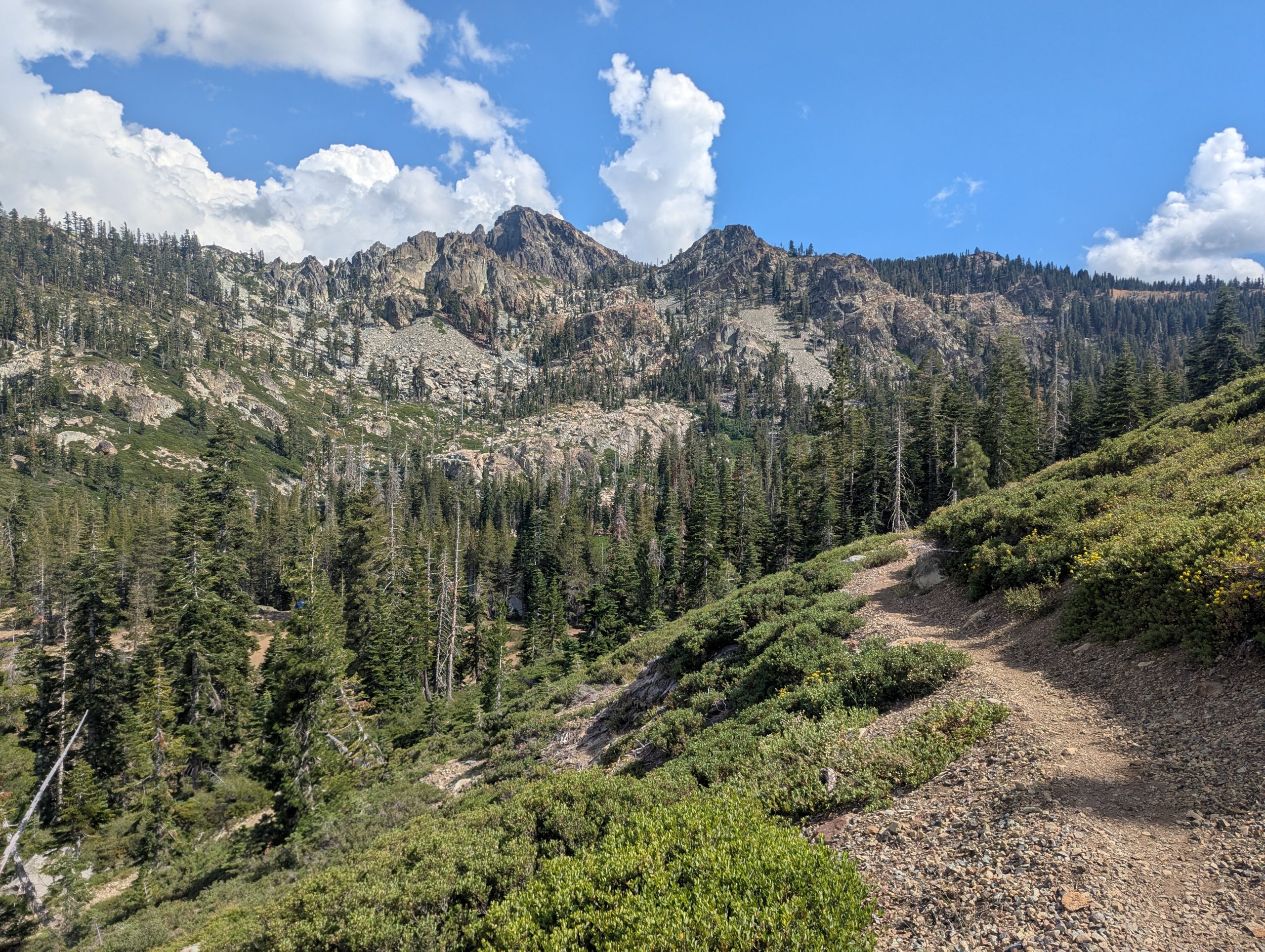
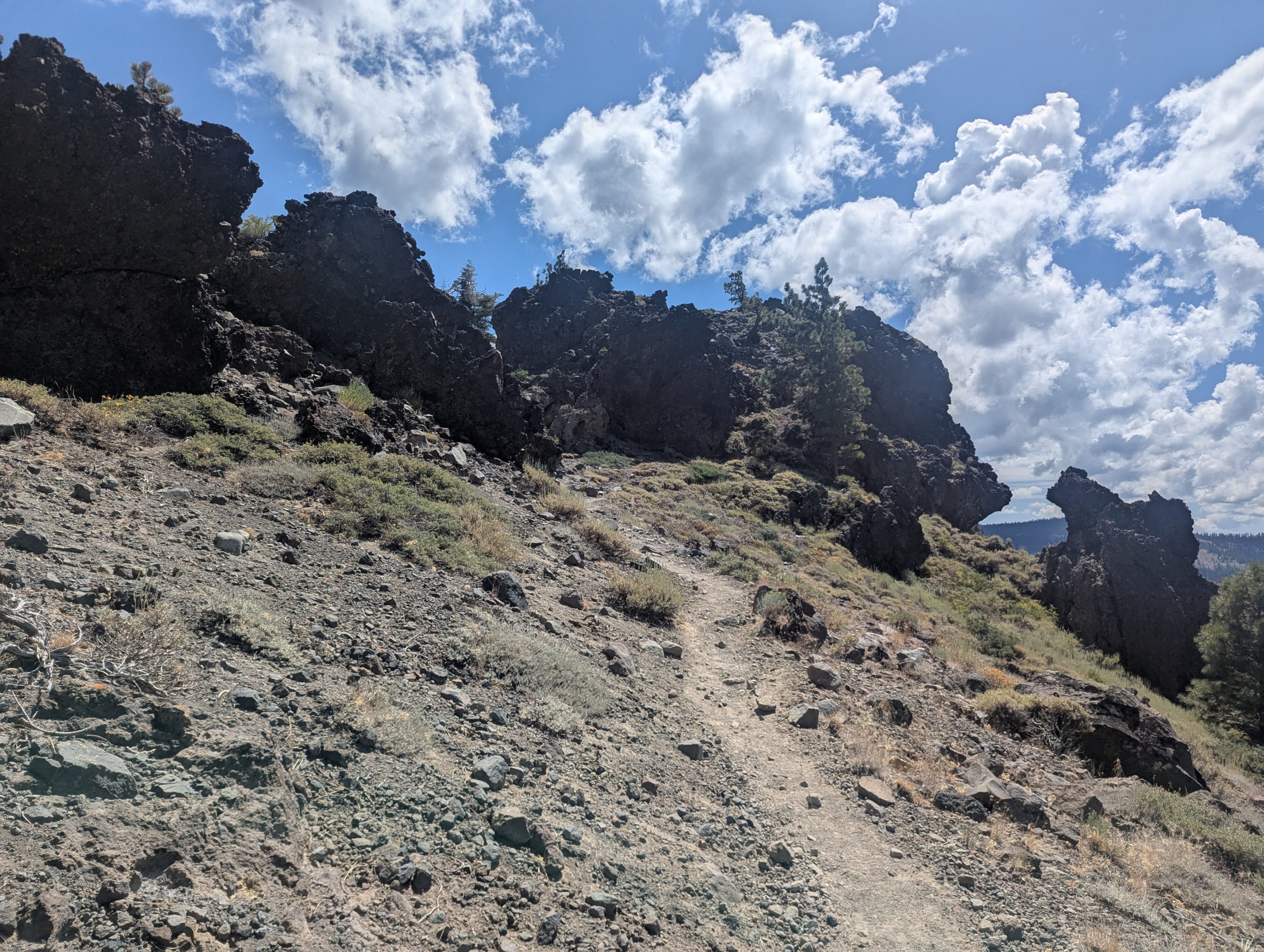
After the mile marker, the trail traversed around Sierra Buttes at approximately the same altitude. I found this stretch much harder, as the trail itself seemed to be constantly over scree, where I had to be be careful with every foot placement.
It then made its way over a ridge while being exposed to the afternoon sun most of the way.
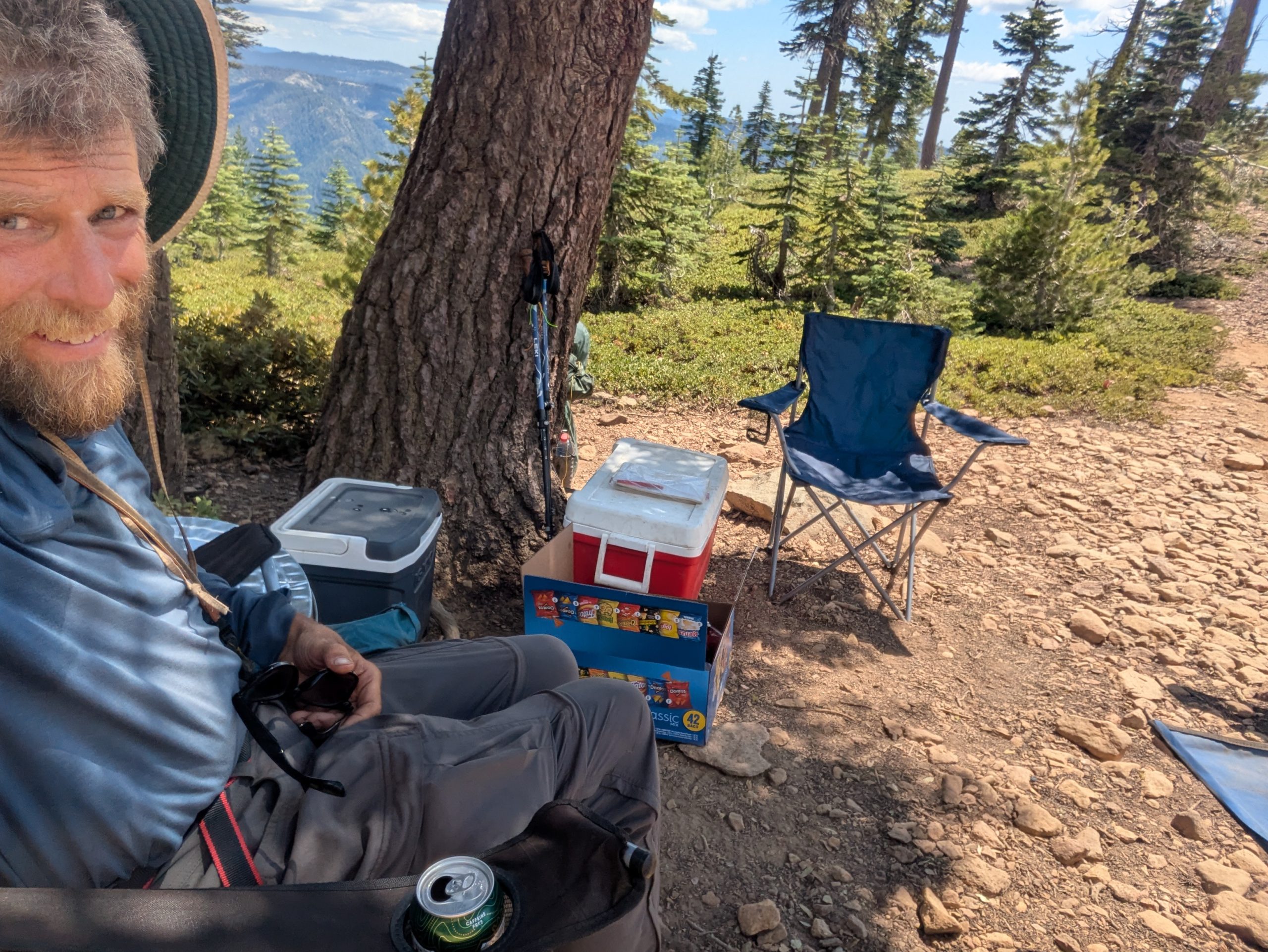
Just as I turned the corner to crest the ridge, I saw the coolers and chairs. This trail magic was a true surprise and very welcome. I sat down in a little shade from a tree and enjoyed a cold soda along with a bag of fresh cherries. Yum! It also made me realize how much we can appreciate such simple pleasures in life.
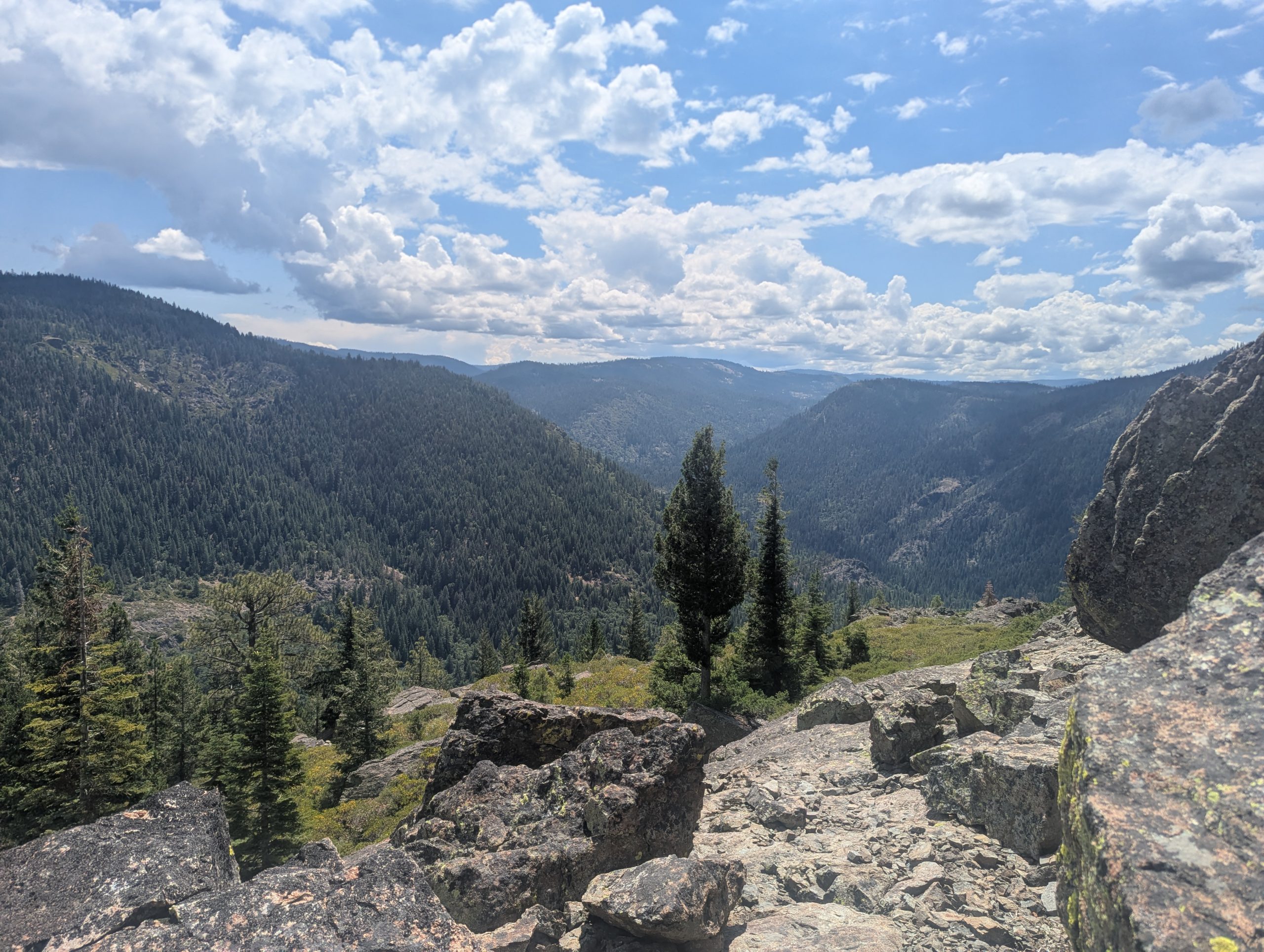
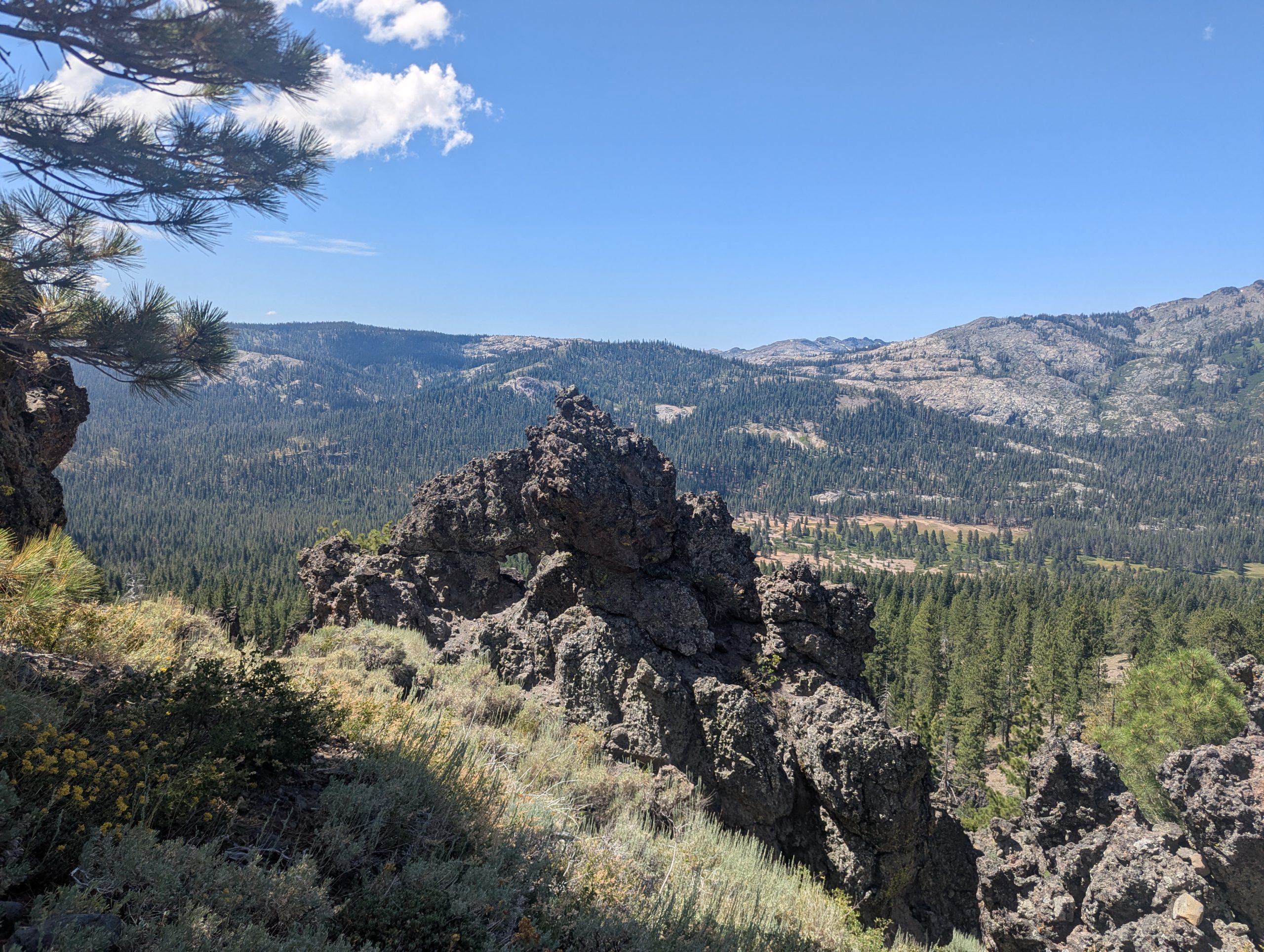
After the ridge, the trail descended to some public campsites at Tamarack Lakes. My thoughts here were that the sites had spectacular views across the lakes of Sierra Buttes. My only question about returning here in the future was how much clearance a car would need to drive here.
A couple families were standing around their site as I walked by. They were very freindly and inquired about my hike. We probably talked for 15 minutes or so (longer than it took to eat the brownie bite they gave me) before I headed onward to cover a few more miles before setting up camp.
This website contains affiliate links, which means The Trek may receive a percentage of any product or service you purchase using the links in the articles or advertisements. The buyer pays the same price as they would otherwise, and your purchase helps to support The Trek’s ongoing goal to serve you quality backpacking advice and information. Thanks for your support!
To learn more, please visit the About This Site page.

23.8 miles
From trail camp (mile 1171.5, elev 7835)
To trail camp before Sierra City(mile 1194, elev 4783)
Climb 2476
Descend 5510
Yes, I wasn’t feeling very good yesterday. Everything seemed like a struggle. And my body was complaining.
But I did a number of things last night and this morning and they seemed to help:
1 I ate & slept well
2 I taped my heel/Achilles – this was not part of my routine at the cabin, so I forgot it before leaving
3 I used body glide on my feet – also not part of cabin routine
4 I cleaned my backside well – what goes in must come out. I ate a lot while at the cabin. My backside became a bit irritated. Enough said…
5 I stretched my legs. Stretching seems to reduce the problems with my achilles
6 I kept my rain gear at the top of my pack – to be ready if it rained more steadily today
During my first three miles, I noticed that I didn’t have any of the aches I did yesterday. I felt good and energetic. This mostly continued for the next 20 miles. My legs did get a little tired by the end, but I could have continued hiking except I want to let my body rest. That it started raining lightly was one more reason I stopped.
Today gave me answers to the question, “Why not stop?” I know that all the advice is to not quit on a bad day – that things will likely get better. Today confirmed this in a personal way for me: that I could get through the way I felt yesterday.
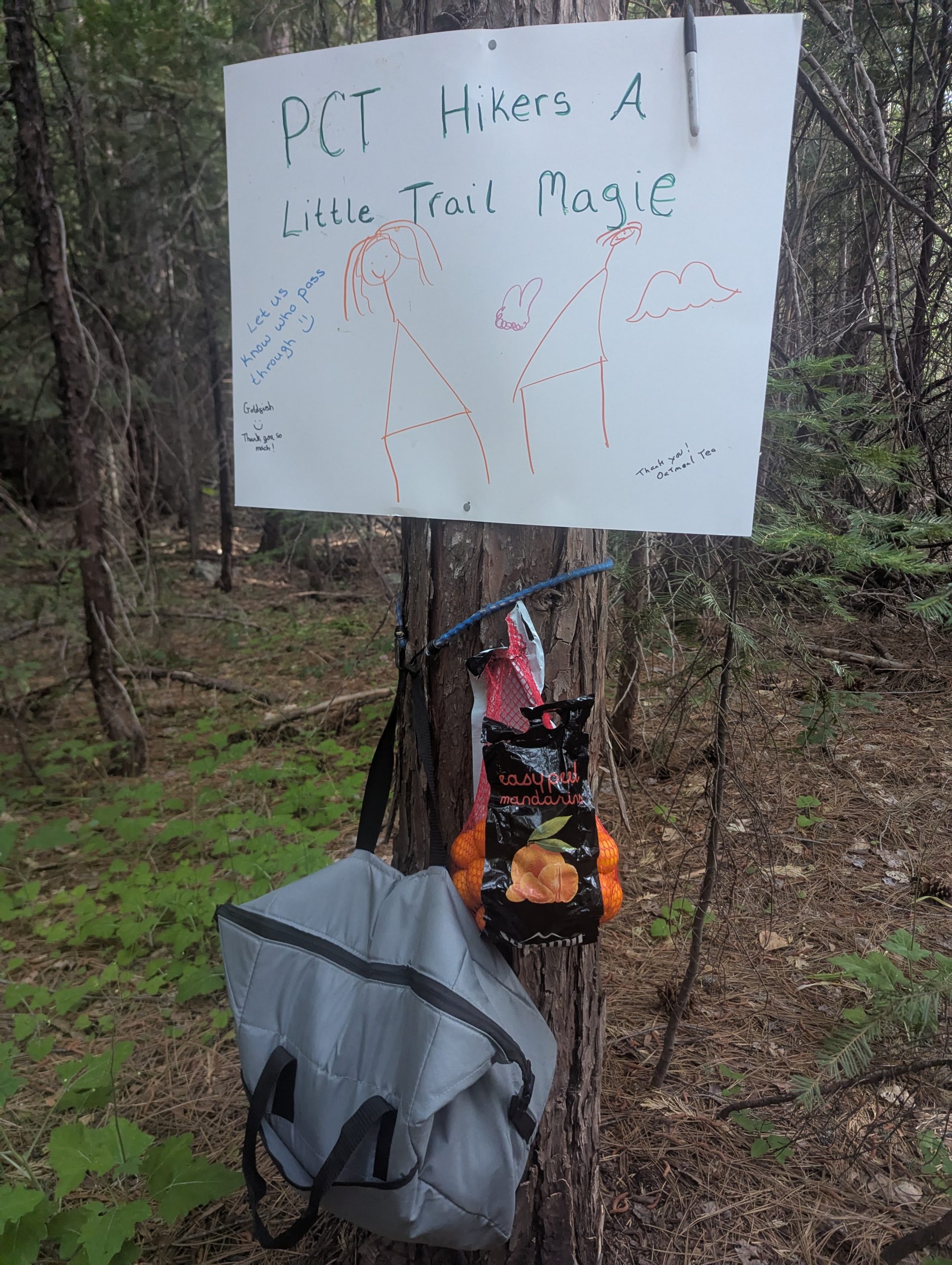
I experienced a couple instances of trail magic today
First, Ben provided magic near the Jackson Campground. He is aspiring to do some long backpacking trips and wanted to help other hikers. He had a variety of food that hikers could appreciate. What I found most interesting were the jugs of water he had. They were apparently filled from a tap, but he kept them in a cooler with enough cold packs that the water was really refreshing.
Second, there was Gatorade, tangerine, and snacks left as magic near Wild Plum Rd near the very end of the hike.
While sitting at Ben’s trail magic spot, it started raining lightly. It stopped shortly thereafter, but picked up again near the end of my hike. The threat of rain had me constantly on the lookout for decent tent sites in case the skies opened up and I wanted to take shelter fairly quickly.
It was raining lightly when I finally decided to find a site for the evening. I really didn’t find any established sites, and there was very little ground that was truly flat. But I found some ground among some oaks about 50 yards off the trail that wasn’t too sloped. I cleared a few sticks, set up my tent, and then I went inside to take care of things out of the rain.
Some obstacles you can easily get over…
… and some you have to go around (I’m standing full height next to this downed tree).
Rocks near where I took a break
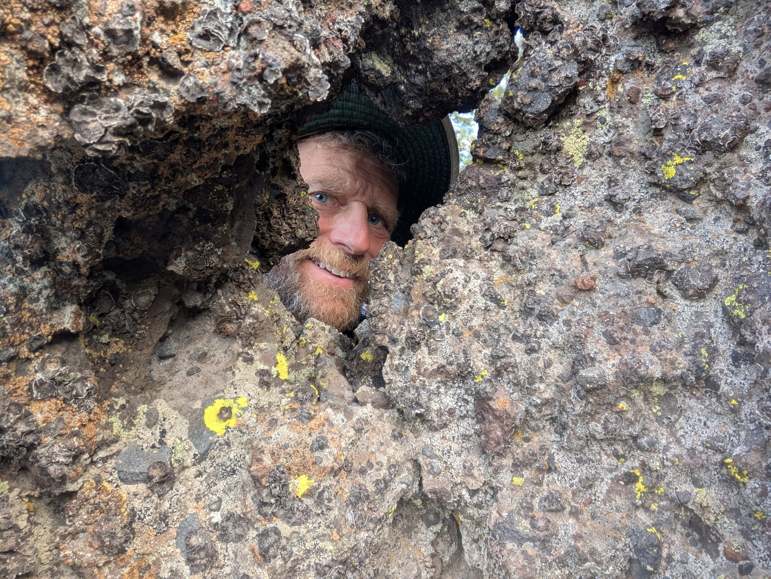
I had fun taking a selfie at this rock window – I reached my arm around the rocks to get my phone on the other side of the window
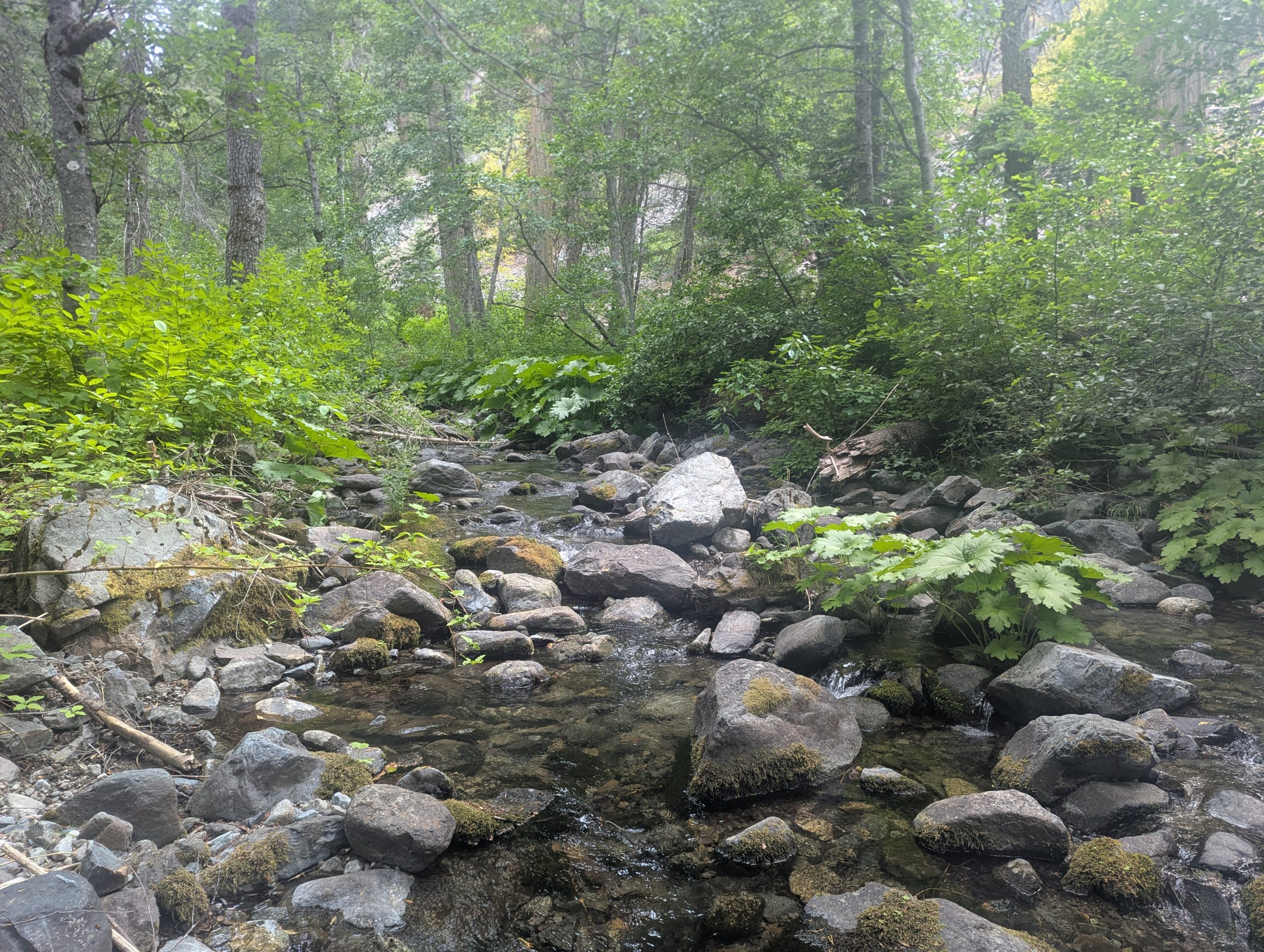
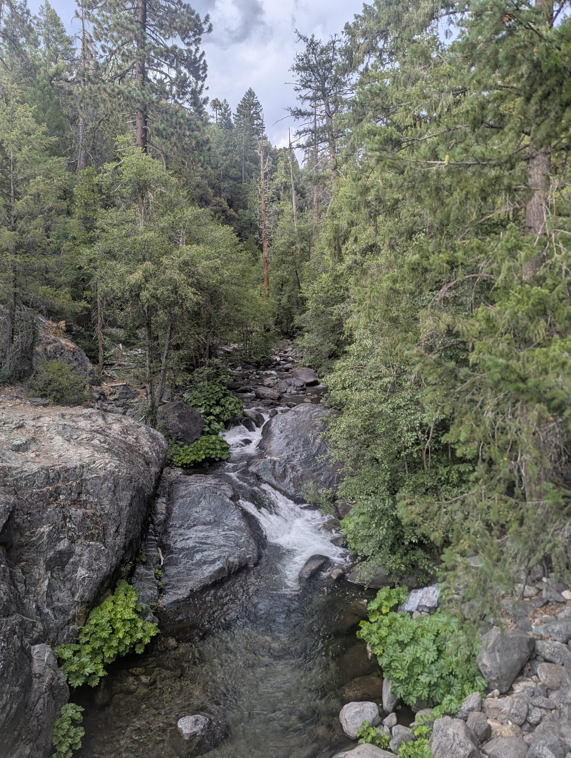
Creek approaching Sierra City
This website contains affiliate links, which means The Trek may receive a percentage of any product or service you purchase using the links in the articles or advertisements. The buyer pays the same price as they would otherwise, and your purchase helps to support The Trek’s ongoing goal to serve you quality backpacking advice and information. Thanks for your support!
To learn more, please visit the About This Site page.
-

 Brand Stories1 month ago
Bloom Hotels: A Modern Vision of Hospitality Redefining Travel
-

 Brand Stories1 month ago
CheQin.ai sets a new standard for hotel booking with its AI capabilities: empowering travellers to bargain, choose the best, and book with clarity.
-

 Destinations & Things To Do1 month ago
This Hidden Beach in India Glows at Night-But Only in One Secret Season
-

 Destinations & Things To Do1 month ago
Untouched Destinations: Stunning Hidden Gems You Must Visit
-

 AI in Travel1 month ago
AI Travel Revolution: Must-Have Guide to the Best Experience
-

 Family Travel2 months ago
Things to Do Indoors in New Jersey
-

 Brand Stories2 months ago
Voice AI Startup ElevenLabs Plans to Add Hubs Around the World
-

 Brand Stories1 month ago
Contactless Hospitality: Why Remote Management Technology Is Key to Seamless Guest Experiences
-

 Restaurants & Food5 months ago
10 New Restaurants In Delhi NCR To Head To This Month
-

 Brand Stories2 months ago
How Elon Musk’s rogue Grok chatbot became a cautionary AI tale
You must be logged in to post a comment Login