
Destinations & Things To Do
Madeira Is a Treasure Trove of Otherworldly Hiking Trails

“], “filter”: { “nextExceptions”: “img, blockquote, div”, “nextContainsExceptions”: “img, blockquote, a.btn, a.o-button”} }”>
Heading out the door? Read this article on the new Outside+ app available now on iOS devices for members!
>”,”name”:”in-content-cta”,”type”:”link”}}”>Download the app.
This past November, when I’d normally be shoveling my driveway or clicking into ski boots, I found myself pouring sweat as I hiked an incline so severe that I could reach out and touch the dirt in front of my face. I reached a switchback and sat down on a rock.
“Are any of the trails in Madeira a normal grade?” I wheezed, grasping for my water bottle.
My partner and I sat for a few minutes looking back along the switchbacks crossing the terraced hillside to the ocean 1,000 feet below. Every trail we’d hiked in Madeira at that point had been quite steep, but the sheer cliffs, densely forested interior, and brilliant blue water made for some of the most incredible landscapes I’d ever seen. The quad-burning climbs were worth the effort.
We did end up hiking more reasonably graded trails, and all of them varied wildly in scenery and terrain. We were on a 23-day, four-country trip to Europe, and as excited as I was for all our stops, I had most been looking forward to Madeira.
We had sought out temperate destinations for the late-fall trip, and made sure at least one location was hiking-focused. Madeira, a Portuguese island situated 320 miles west of Morocco, fit the bill perfectly.
The lodging and travel to and from Madeira was reasonably priced during the shoulder season, and the weather was between 60 to 75 degrees Fahrenheit every day. The trail network on the island was incredibly well-signed, developed, and robust. We didn’t plan much in advance, but still managed to hike to a massive waterfall, from the top of cliffs down to the ocean, along winding routes along the coast, and between the two highest peaks on the island. The day-hiking trails are all beautifully constructed and follow a numbered PR system, which translates to Pequena Rota, or Small Route. Here are the trails we explored, plus some advice for your own trip.
PR 8: Dragon’s Tail
Distance: 4.6 miles (out and back)
Elevation Gain: ~1,200 feet
I used to have an aversion to the most popular or Instagram-worthy destinations, but I’ve moved past that. By and large, these attractions land at the top of listicles for a reason, and Dragon’s Tail is no exception.
This route, officially called Vereda da Ponta de São Lourenço, follows winding coastal features with panoramic views the entire time. This trail felt crowded at first, but the hikers dispersed naturally along the route. The trail starts by descending a set of stairs with 360-degree views of contrasting red rock, green groundcover, and blue water, and you traverse the edge of these features for 2 miles before climbing steeply to a lookout at the very edge of the coast.
I underestimated the elevation gain of this hike, and the steep final climb took me by surprise. We huffed and puffed to the top and spent some time enjoying the view before hiking down to the cafe at the base of the climb for sodas and fresh-baked banana bread. I’ve hiked mostly in the U.S., so the prevalence of unexpected cafes along Madeira’s trails was a delightful surprise. I recommend getting to this trail early, as the parking area fills up and you’ll wind up walking extra along the road if you lose out on a spot. Did we follow this advice? Of course not, but I suggest you do.
PR 1: Pico a Pico
Distance: 7.6 miles (out and back)
Elevation gain: 2,700 feet
The route from Pico do Arieiro to Pico Ruivo is commonly known as Pico a Pico, or “peak to peak.” Along with Dragon’s Tail, this is one of the most famous trails in Madeira, taking hikers between the two tallest peaks on the island, Pico do Arieiro (sometimes spelled “Areeiro”) and Pico Ruivo on a narrow, steep trail with views of jagged peaks in every direction.
The trail is another marvel of engineering, with tunnels, handrails, and thousands of stone steps. Some steps are wide and easy to navigate, while some are so tight, steep, and winding that vertigo had me gripping the cable handrail for balance.
Most people begin at the large trailhead-shop-cafe complex near the summit of Pico do Arieiro at around 5,900 feet. The trail loses elevation to the saddle at 4,900 feet, though there are plenty of short, steep climbs in between. This means there is more elevation gain and loss than you’ll see on a generic elevation profile, and it was harder than I anticipated (par for the course with me).
The trail is easy to follow, tracing a natural ridge with dizzying drop-offs on both sides and some cliff-hugging sections. Sturdy cable rails surround the narrower sections, and while I never felt unsafe, hikers with fear of exposure might find it unnerving.
At the saddle, the trail begins climbing steeply toward the summit Pico Ruvio at around 6,200 feet, with more ups and downs along the way. You’ll reach a false summit and, like with all false summits, question why you were born. This was where my partner and I had to choose whether to continue toward Pico Ruvio or turn around. Most people book a transfer back to their car or shuttle spot from the summit of Pico Ruivo, eliminating the miles and climbing back to Pico do Arieiro. We did end up turning around, but I wish we’d planned enough to book the transfer. In the end, the views were astonishing and the trail was challenging enough to feel like an accomplished day anyway. Set aside a full day for this hike, and, again, try to get to the parking area early in the morning.
PR 9: Levada do Caldeirão Verde
Distance: 8.6 miles (out and back)
Elevation Gain: ~800 feet
Levada routes are some of the more moderate trails on the island, following irrigation infrastructure that brings water from rainier parts of the island to more arid areas. This route started in the Queimadas Forest Park and has the option of finishing at the Caldeirão do Inferno, which would have been just under 11 miles round trip. We stopped a bit earlier at Caldeirão Verde, a strikingly tall waterfall in the middle of dense, misty forest.
The route was largely flat, following stone walkways and hard-packed dirt next to dripping, moss-covered rock walls with the levada running parallel to the pathway. We went in and out of multiple tunnels where we would have benefitted from a headlamp. Most of the trail was on the edge of a massive drop-off that offered dramatic views of the primordial interior forest. The wide path eventually narrowed to a steep, narrow climb to the waterfall where we ate lunch and visited with the friendly and fearless birds hopping around hoping for a handout.
The hardest part of this route was the trip to the trailhead. Be ready to drive harrowing, windy roads to the Queimadas parking area, and bring your wallet because it costs a few euros to park. I’d also recommend leaving some time for the thatched-roof visitor center and trying pastel de nata—a classic flaky-crust-and-custard pastry—at the cafe.
Vereda da Ladeira
Distance: 3.5 miles (out and back)
Elevation Gain: ~1,500 feet
This steep trail was only 15 minutes from our hotel in Porto Moniz, and we found the trailhead near a signed miradouro—or viewpoint—with a tiny parking area. This route descends from the top of the cliffs down to the water’s edge on the northwest coast at the tiny town of Fajá da Quebrada Nova, formerly home to hundreds of people living and working on small farms.
We started on a series of switchbacks along farmed terraces, with some loose sections of rolling pebbles and rocks. At the bottom of the first climb, we reached a vegetated drainage that we had to cross via a rickety bridge that was missing a few key planks. It felt stable enough though, and we continued down the second part of the descent to incredible views of the ocean on steps cut into the rock above a stone retaining wall.
At the base of the climb, we hiked through tall grasses until reaching the tiny, near-empty town a quarter mile away. We followed the walkway west for another half mile and ate lunch at a lookout before heading back. This area actually has a cable car that travels up and down the next cliff from where we started, giving hikers a point-to-point option to skip the out-and-back, or to avoid the hike entirely.
Tips for a Madeira Hiking Trip
Understand the Trail System
Madeira’s network of day-hiking trails are on a numbered PR system. Visitor centers, ample signage, and information points all have maps highlighting key trails. Madeira is famous for its hiking, so you’ll find a good amount of blog posts, trail reviews, and online information with route details and directions. There are certainly less-developed trails than the ones we did, but all of the hikes we saw were well signed both along the route and at the trailhead, with developed parking areas and impressive trail infrastructure.
Rent a Car, But Be Ready For Some Overwhelming Driving
Madeira doesn’t have the most robust public transportation system, but there are plenty of reasonably priced car rental options with airport shuttles. We planned our arrival from Rome for mid-morning to ensure the rental place would be open, and scheduled a shuttle from the airport. We used Way2Madeira, a budget rental company just 20 minutes from the capital city of Funchal.
We rented a stunningly underpowered vehicle that struggled on the steep roads, some of which I swear were close to 20 percent grade. We were also surprised by everything from trucks stuck on hairpin turns to sheep and cows in the road, so stay alert behind the wheel. The trickiest driving were the smaller roads to the trails, and the highways were all quite nice. Finally, remember to load your road maps ahead of time on wifi or download the area on Google Maps if you don’t have a European SIM card.
Get to the Most Popular Trailheads Early
While Madeira isn’t the most well-known destination in Europe, it is renowned for its trail network and incredible coastal scenery. This meant that plenty of visitors, like us, were there for the hiking. I’d recommend getting to the most iconic hikes (Dragon’s Tail, Pico a Pico) by 7am, as even the largest parking areas fill up fast. The hikes never felt too crowded, but if you don’t get there early, plan for a longer walk from a distant parking spot.
If Possible, Stay in a Few Different Places
We started our trip in Porto Moniz on the northwest side, then moved to the capital city of Funchal on the southern coast for the second half of the trip. This allowed us to explore different parts of Madeira and made it easier to access various trails across the island. I absolutely loved the Aqua Natura Hotel in Porto Moniz. We had an ocean-view balcony, and the hotel has its own world-famous natural pools with ocean waves crashing into the manmade basins. Our hotel in Funchal was as far from boutique as you can get, but included a massive buffet breakfast, multiple pools, hot tubs, and gardens, and was walking distance to plenty of food and attractions.
Leave Yourself an Unplanned Exploration Day
We spent our Porto-Moniz-to-Funchal transfer day exploring, stopping for a few short hikes and viewpoints along the way. We hiked to ancient trees, hilltops, and miradouros with no other tourists nearby. The top of the island was totally different terrain than the mountainous interior or coastal cliffs. It had rolling plains covered in short grass with desert vegetation, all dotted with fuzzy-haired cows. It was a great way to spend an unplanned day, and I highly recommend it.


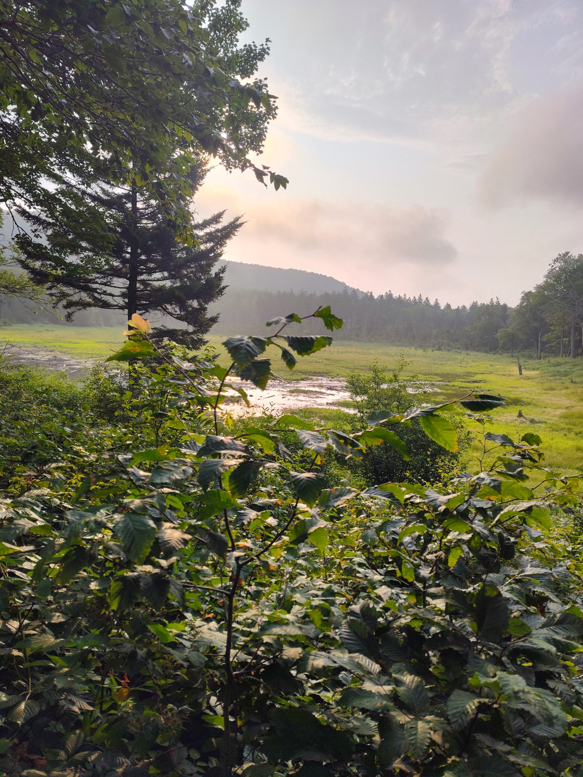
A thunderstorm rolled through last night. We are becoming more accustomed to sleeping in shelters, especially when the weather is wet.
Early in the day, we officially passed the 1/4-way mark. We’ve made it over 550 miles, and a quarter of the trail. We’ve got a good groove going, and I would say we are officially settled into life on the trail. While it’s not easy, it’s worth it. Even after all this time, the miles and elevation, I still sometimes struggle going uphill. The muscles on the backside of my thighs have a burning sensation that eventually goes away, but is always pretty consistently there. Hopefully, I’ll continue to get stronger and conquer the hills a little better.
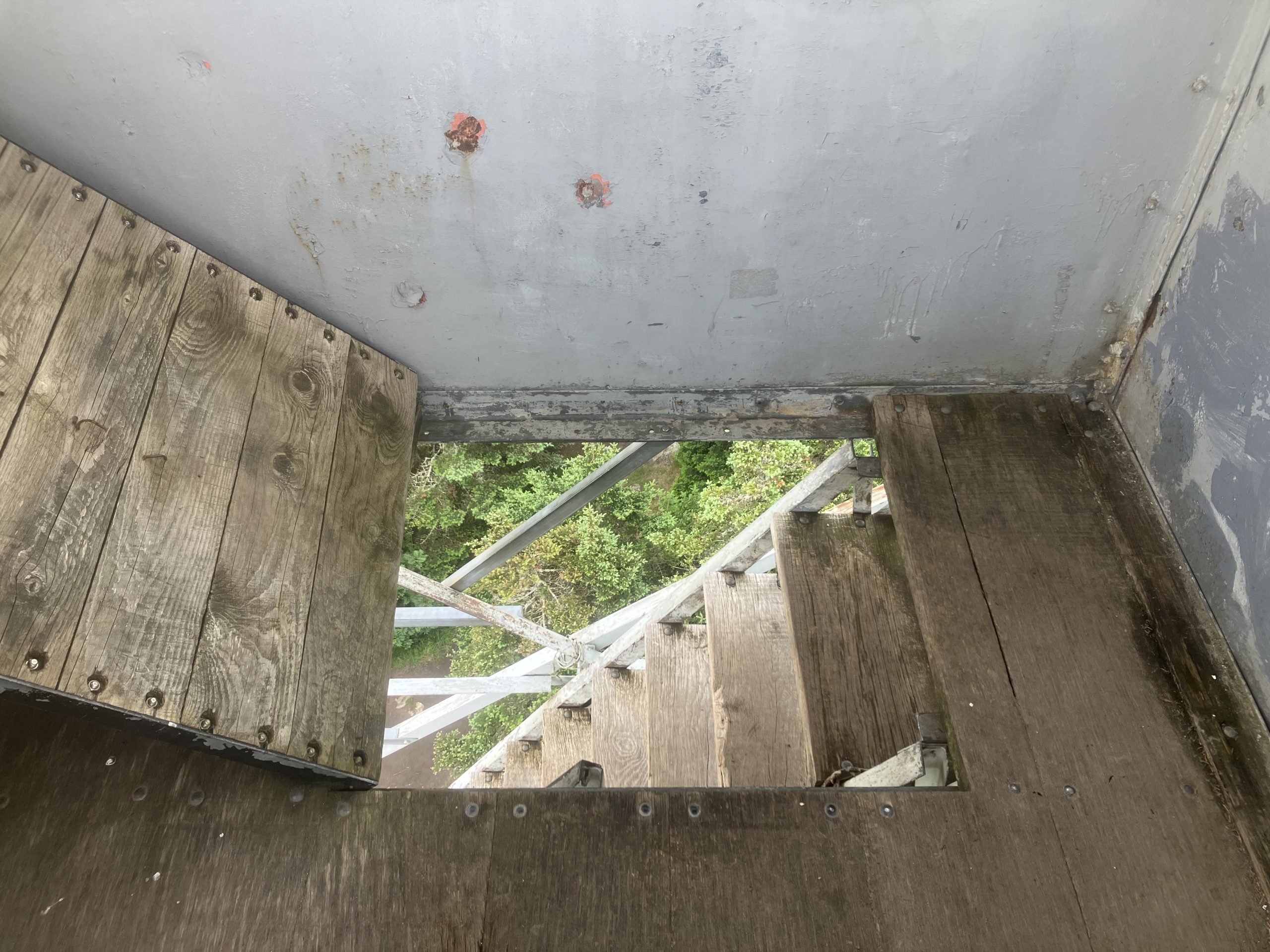
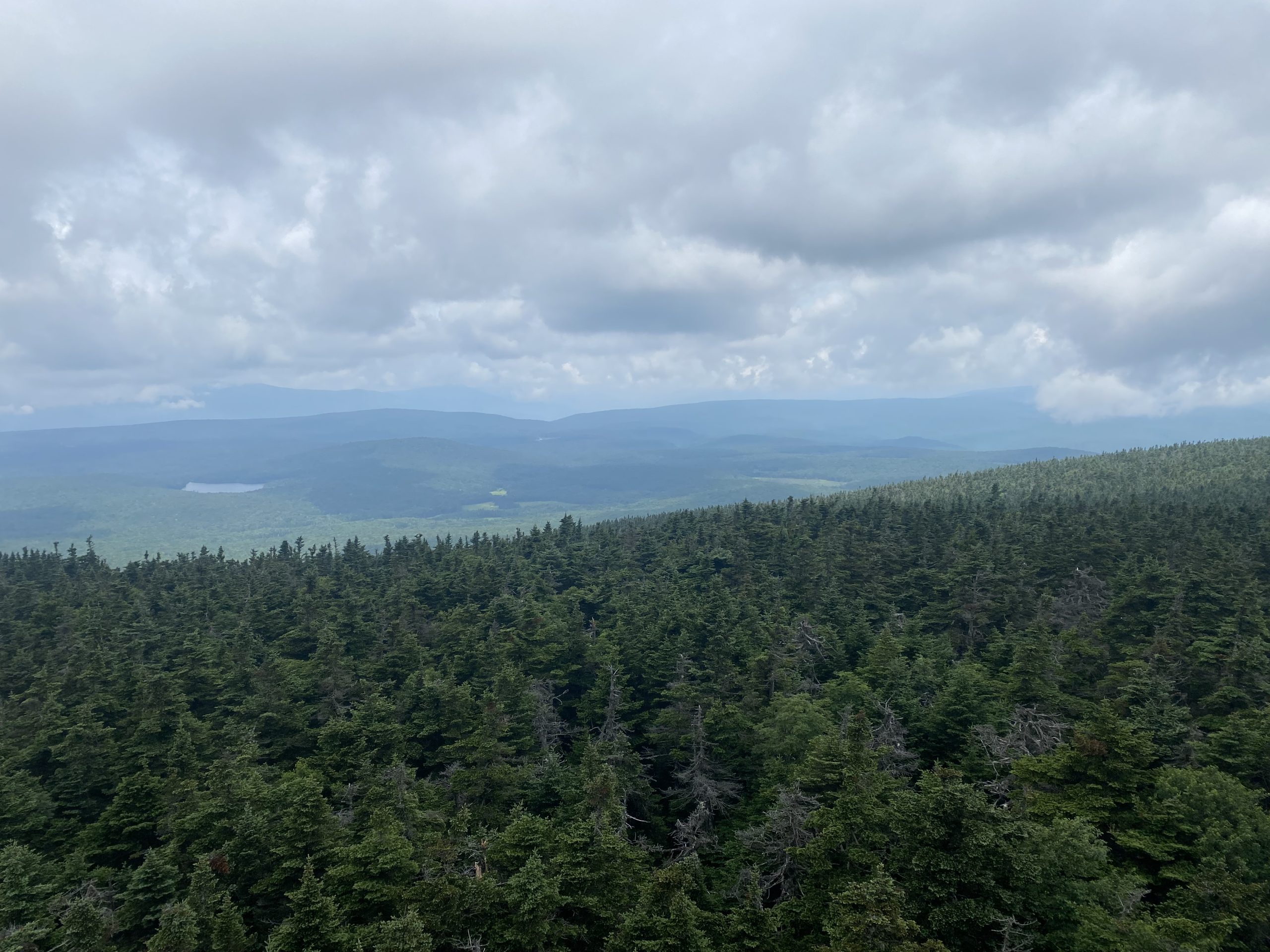
We ascended Stratton Mountain, which is home to a ski hill. We were not close to the resort portion, but we were able to go up a fire tower. The views were mostly clouded-in, but we had a few pockets of views. Vistas are becoming fewer and farther in between.
The remainder of our day was much of the same. I’m starting to get tired of listening to music, although it does help the miles pass by a little easier. I do miss some of the unique bird songs from farther north, but the terrain and vegetation are reminiscent of West Virginia and the mid-Atlantic.
We stopped for the night at Kid Gore shelter. There’s supposedly a gorgeous sunrise here in the mornings. We met a group of five other hikers and exchanged information about the respective upcoming sections. It’s always so nice to camp near other hikers.
This website contains affiliate links, which means The Trek may receive a percentage of any product or service you purchase using the links in the articles or advertisements. The buyer pays the same price as they would otherwise, and your purchase helps to support The Trek’s ongoing goal to serve you quality backpacking advice and information. Thanks for your support!
To learn more, please visit the About This Site page.
Destinations & Things To Do
Top Ten Safest and Most Spectacular Global Summer Travel Destinations for 2025

Sunday, July 20, 2025
As global travelers seek enriching experiences, the safety and hospitality of destinations become paramount. Summer travel provides an ideal opportunity to explore new cultures, pristine landscapes, and dynamic cities. Here are ten of the safest and most captivating countries to visit in the summer of 2025, promising unforgettable adventures and relaxation.
1. New Zealand – Nature’s Ultimate Paradise
Renowned for its untouched beauty, New Zealand is a haven for nature enthusiasts. With its exceptionally low crime rates and welcoming locals, visitors can enjoy outdoor adventures worry-free. From breathtaking scenery in Queenstown to the tranquil Milford Sound and indigenous Maori heritage, New Zealand offers a diverse and memorable summer getaway.
2. Japan – A Blend of Heritage and Modernity
Japan harmoniously merges its rich history with modern technology, providing travelers with a unique experience. Visitors enjoy impeccably clean cities, reliable transportation, and exceptional safety, making it ideal for all travelers, including solo adventurers. Explore traditional temples, lush gardens, cutting-edge cities, and the famed bullet trains for an unforgettable summer.
3. Switzerland – Alpine Luxury and Tranquility
Switzerland captivates with its alpine vistas, serene lakes, and picturesque towns. Known for safety, efficient infrastructure, and political stability, Switzerland provides a luxurious yet peaceful summer retreat. Activities range from scenic train journeys and lake cruises to hiking in the Alps and indulging in world-famous chocolates and cheeses.
4. Singapore – Urban Excellence and Cultural Fusion
Singapore stands out as a safe, clean, and highly advanced urban destination. Summer travelers can explore iconic landmarks like Gardens by the Bay, Sentosa Island, Marina Bay Sands, and the vibrant shopping district along Orchard Road. The city-state’s culinary diversity and English-friendly atmosphere make it particularly welcoming for global visitors.
5. Austria – Timeless Charm Amid Scenic Beauty
Austria offers visitors a perfect blend of historical elegance and modern amenities. Known for safety and efficient public services, travelers can leisurely explore Vienna’s imperial architecture, Salzburg’s musical history, and picturesque Alpine villages, complemented by leisurely cruises along the beautiful Danube River.
6. Australia – Adventure, Wildlife, and City Life
Australia attracts visitors with its remarkable diversity—stunning beaches, iconic cities, and unique wildlife. Strict safety standards in natural parks and coastal areas ensure secure exploration. Summer activities include surfing, snorkeling at the Great Barrier Reef, wildlife safaris, and urban adventures in Sydney and Melbourne.
7. Norway – Peaceful Beauty Under the Midnight Sun
Norway, known for its spectacular fjords, northern lights, and rich Viking history, offers a tranquil and secure summer escape. Ideal for solo travelers and families alike, Norway’s strong community values and minimal crime rates ensure peace of mind while exploring its extraordinary natural landscapes and historical sites.
8. Sweden – Sustainability and Scenic Wonders
Sweden provides a harmonious mix of cutting-edge urban innovation and pristine countryside beauty. With its commitment to sustainability and high safety standards, Sweden appeals to eco-conscious travelers. Enjoy Stockholm’s cultural vibrancy, explore scenic hiking trails, visit the unique ice hotels, or relax by peaceful lakeside retreats.
9. UAE – Luxurious Experiences and Cultural Richness
The United Arab Emirates combines luxury, culture, and unmatched safety standards, making it an appealing summer destination. Enjoy desert adventures, lavish shopping experiences, dining at world-renowned restaurants, and exploring cultural landmarks in an impeccably safe environment. Dubai and Abu Dhabi offer unforgettable luxury experiences against a backdrop of modern marvels.
10. South Korea – A Dynamic Blend of Tradition and Pop Culture
South Korea has quickly risen as a popular destination, celebrated for its exceptional safety, advanced infrastructure, and vibrant culture. From exploring Seoul’s historic palaces and bustling street markets to relaxing on Jeju Island’s beaches, visitors can immerse themselves in K-pop culture, exceptional cuisine, and world-class shopping.
Conclusion
These ten safe and spectacular global summer destinations offer travelers diverse experiences that blend adventure, culture, and relaxation seamlessly. As travel continues to thrive in 2025, these countries present ideal choices for creating memorable journeys that enrich and inspire every visitor.

Day 89-13 Miles today from Seth Warner shelter to stealth site,2,900 Feet Up, 2,800 Feet down, 1622 AT Mile Marker (MM)
Sage Advice
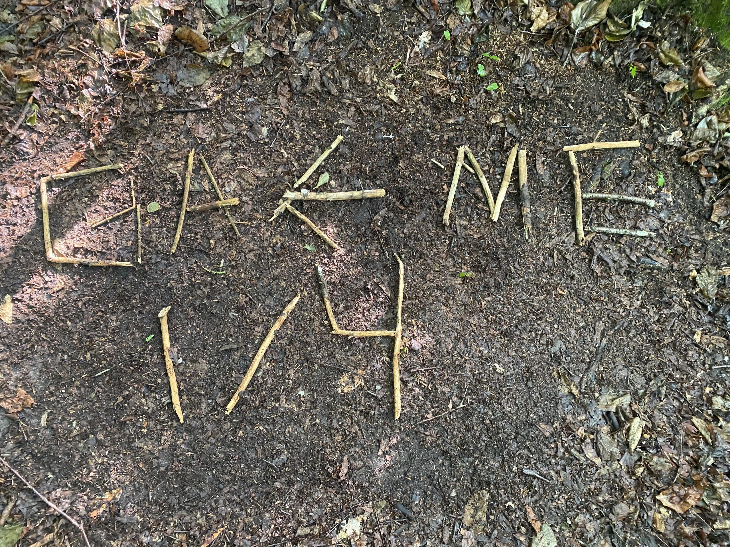
One of the first text messages I got from Knockerz after we parted ways a few days ago was a reminder to me. After hundreds of miles hiking she knew the importance of the statement.
“Don’t forget to look up sometimes”. She wrote me.
It was such a profound statement in more than one way. When we hike we have to constantly be scanning the ground in front of us for our next footstep or we risk a hike ending injury. But you have to occasionally take the time to look up and enjoy the scenery.
This statement can also be applied to life in general especially today. After days of hiking alone without Knockerz it has been difficult to continue on. The fun is just not in my hike right now. Even during the most difficult days of our hike we shared in the experience.
Never Quit on a Bad Day
This is advice you hear when you attempt a feat such as a thru hike. Today is testing me as a bad day. This section of trail is hard to continue to stay motivated.
Yesterday was my longest hike yet at 19 miles and 4,700 feet elevation gain. I actually felt fine physically this morning with the normal aches and pains.
I started at 7:00 a.m. today because I really did not intend to push it hard today. I’ll be stealth camping somewhere. My goal now is to make it too Manchester which I believe is about 50 miles that would put me at 3 more days in the woods.
I think I’ve already had 3 days in the woods. It means I have to preserve my battery so I don’t get any audiobooks, music, or cell phone usage other than coming out of airplane mode for a few text messages or to check the weather periodically.
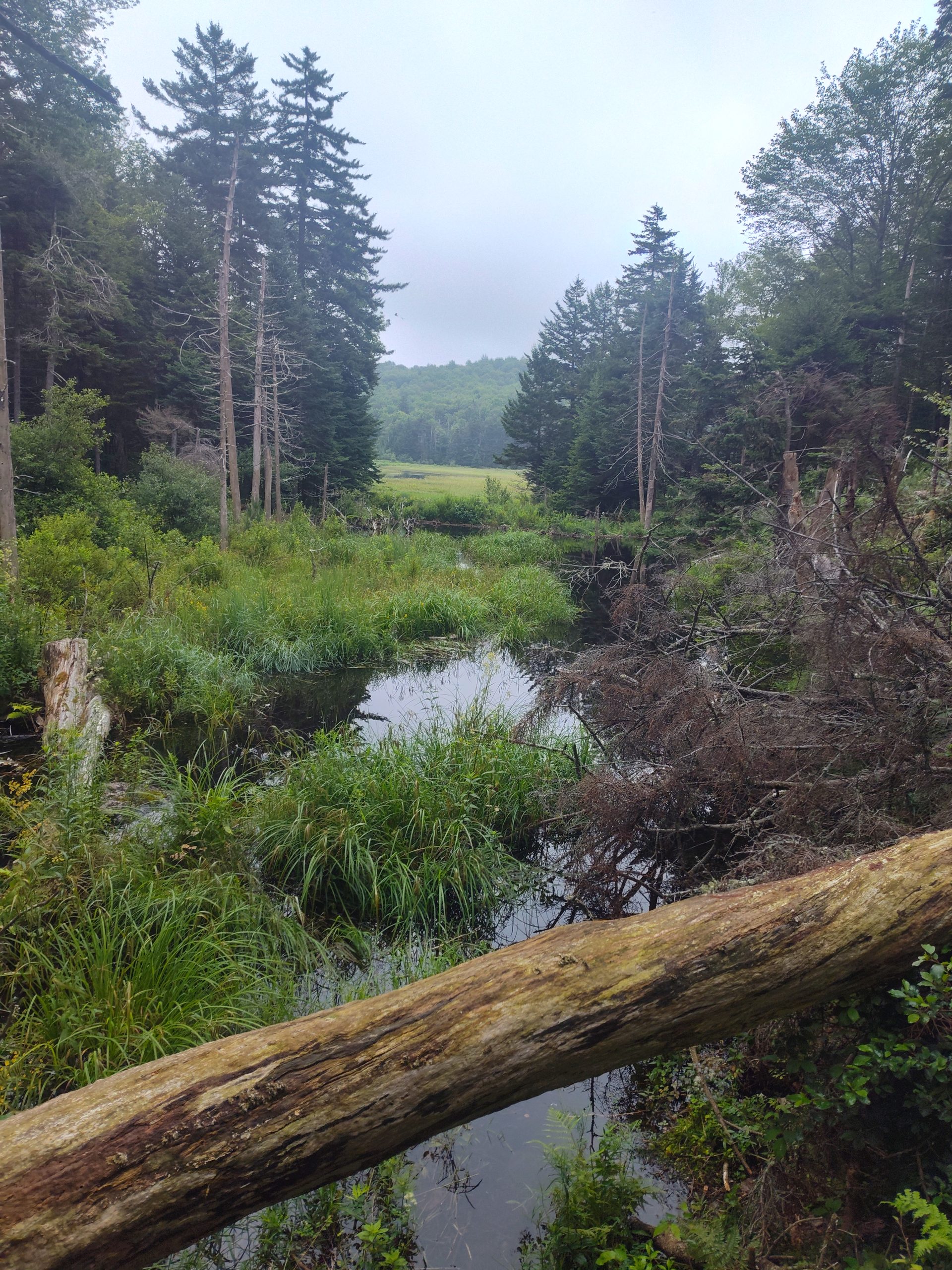
Jungle Time
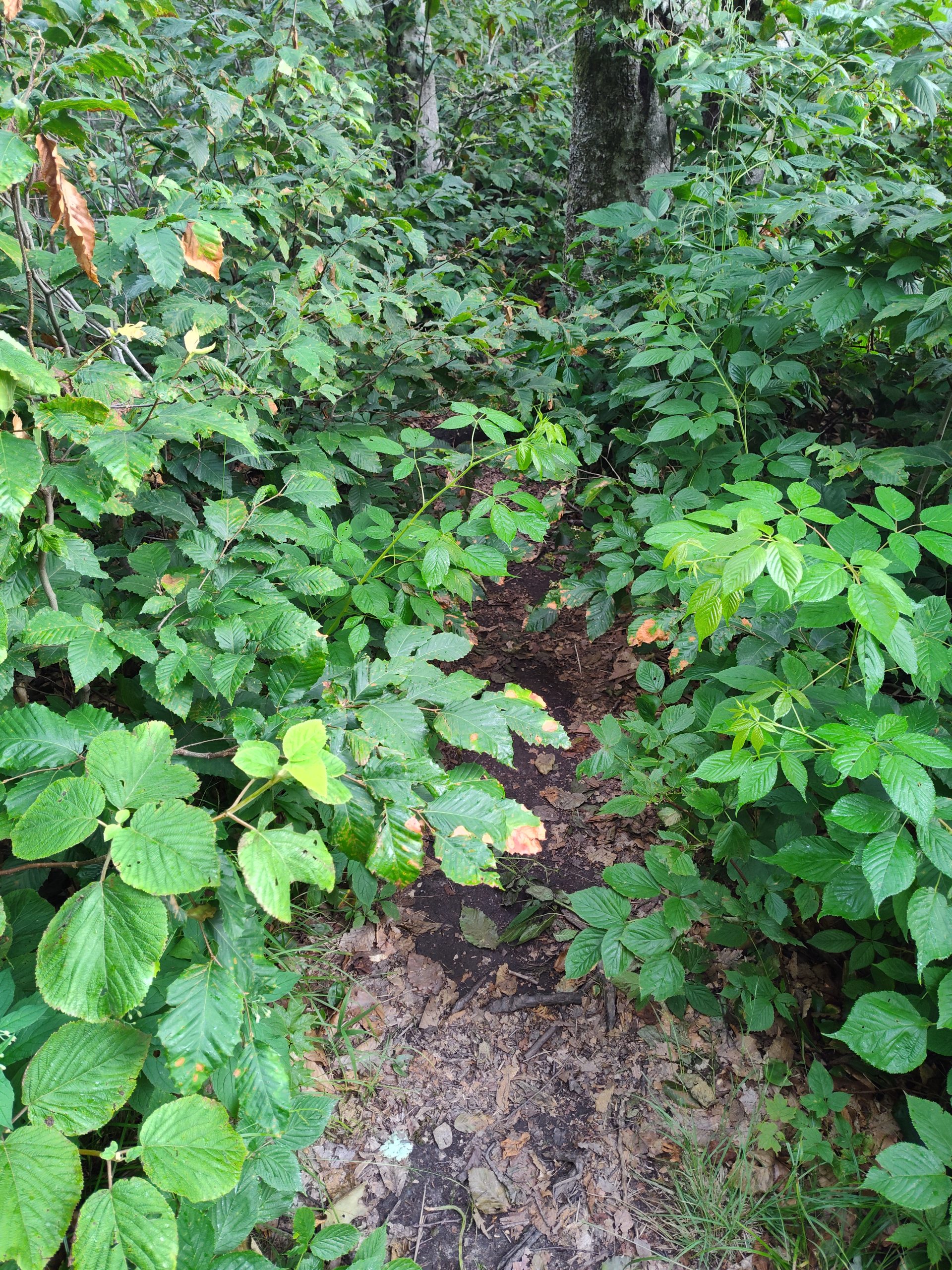
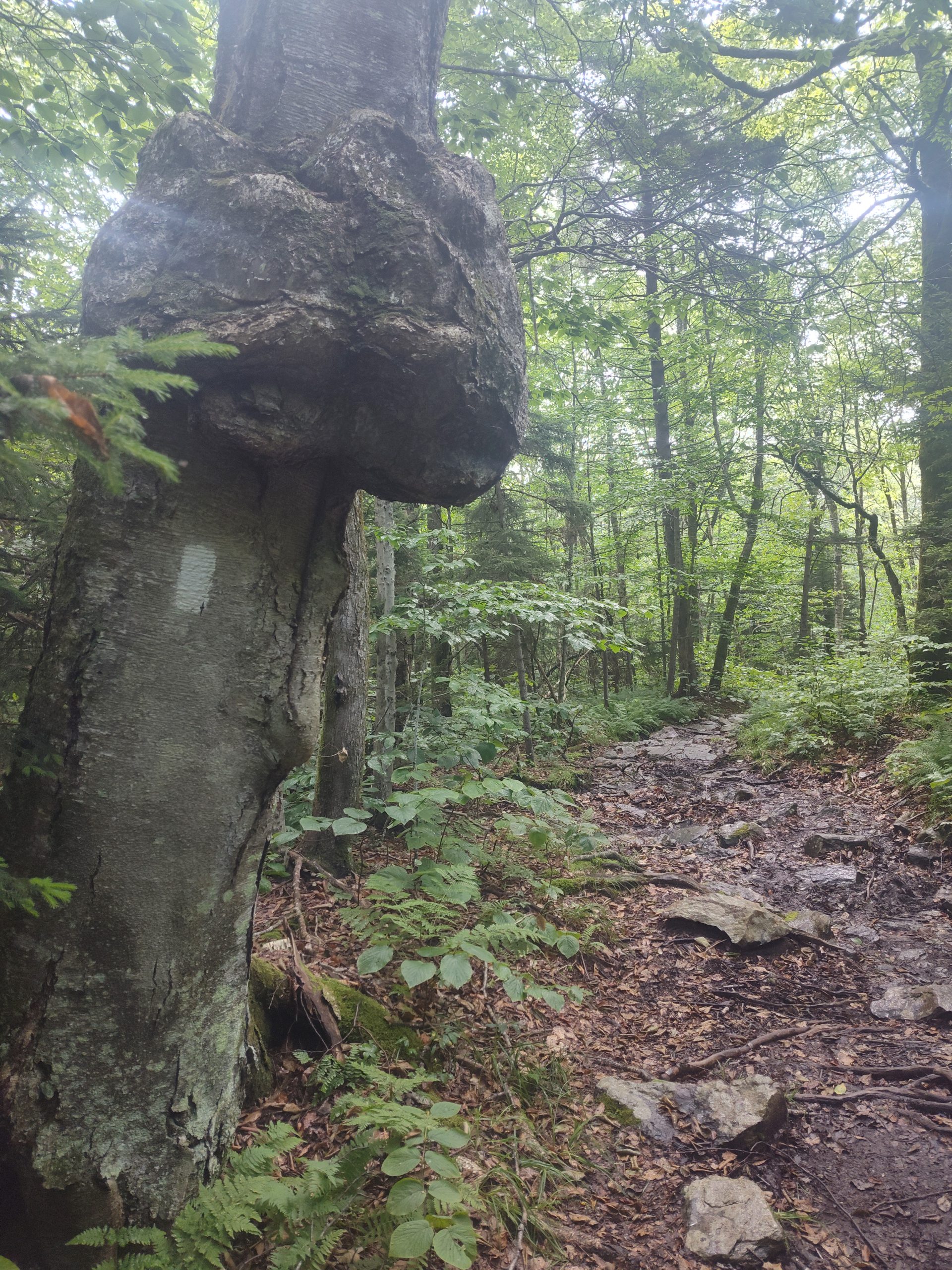
The trail has been so overgrown that I can hardly see the trail sometimes. I think that is proof that this section of trail hasn’t been traveled much. This is just not a fun hike for day hikers to bother with.
The trail is a jungle in some spots. When I got to the last shelter there was no evidence of which way the trail went. It was covered over in so much undergrowth.
I am seeing a lot of the thick black mud but so far I’ve been able to manage to avoid going directly through the mud puddles.
Excess Clothing
I wear clothing to cover 95% on my skin. The only thing I have exposed is my neck in the front my face and my hands. This was a complete nightmare during the hundred plus degree heat but it’s probably kept me from having ticks on my body.
It’s also an advantage now because this hell hole of swampy muddy Vermont is a breeding ground for these flies which will bite on any exposed skin.
I now have to keep moving where I’m currently at. If I stop moving, or even slow down, I get swarmed by mosquitoes. This is really rough.
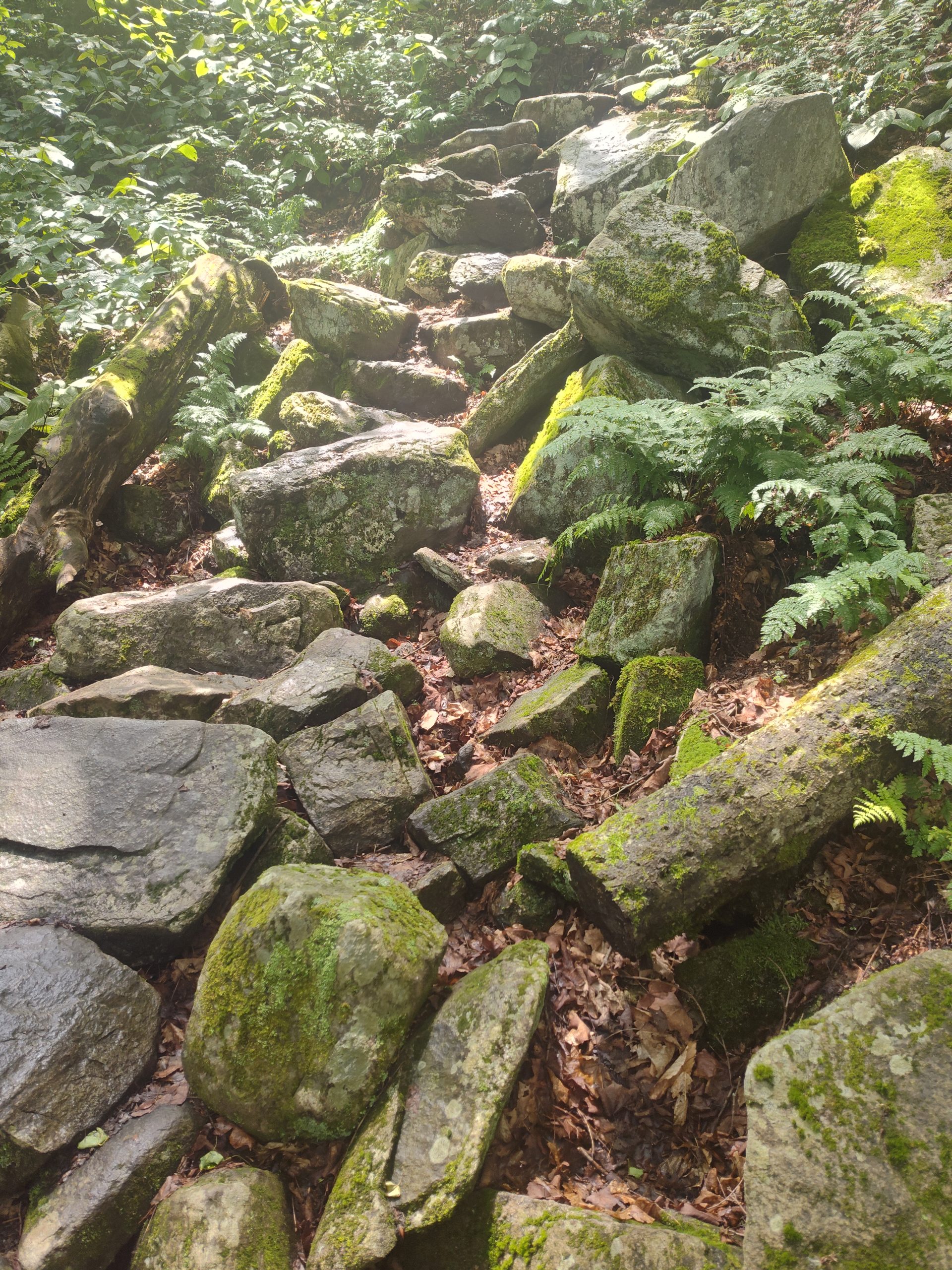
1,000 Steps
The final drop down to Route 9 was at a slope of over 1500 feet per mile. Another knee breaking drop.
Of course that can only mean one thing. I will soon have a steep climb to get out of this gap.
The descent down to the gap was one of the worst descents I’ve seen on trail. A thousand rock steps.
Oh S***
It was a climb up to Split Rock and then a further climb up but not as bad as the climb down into the gap.
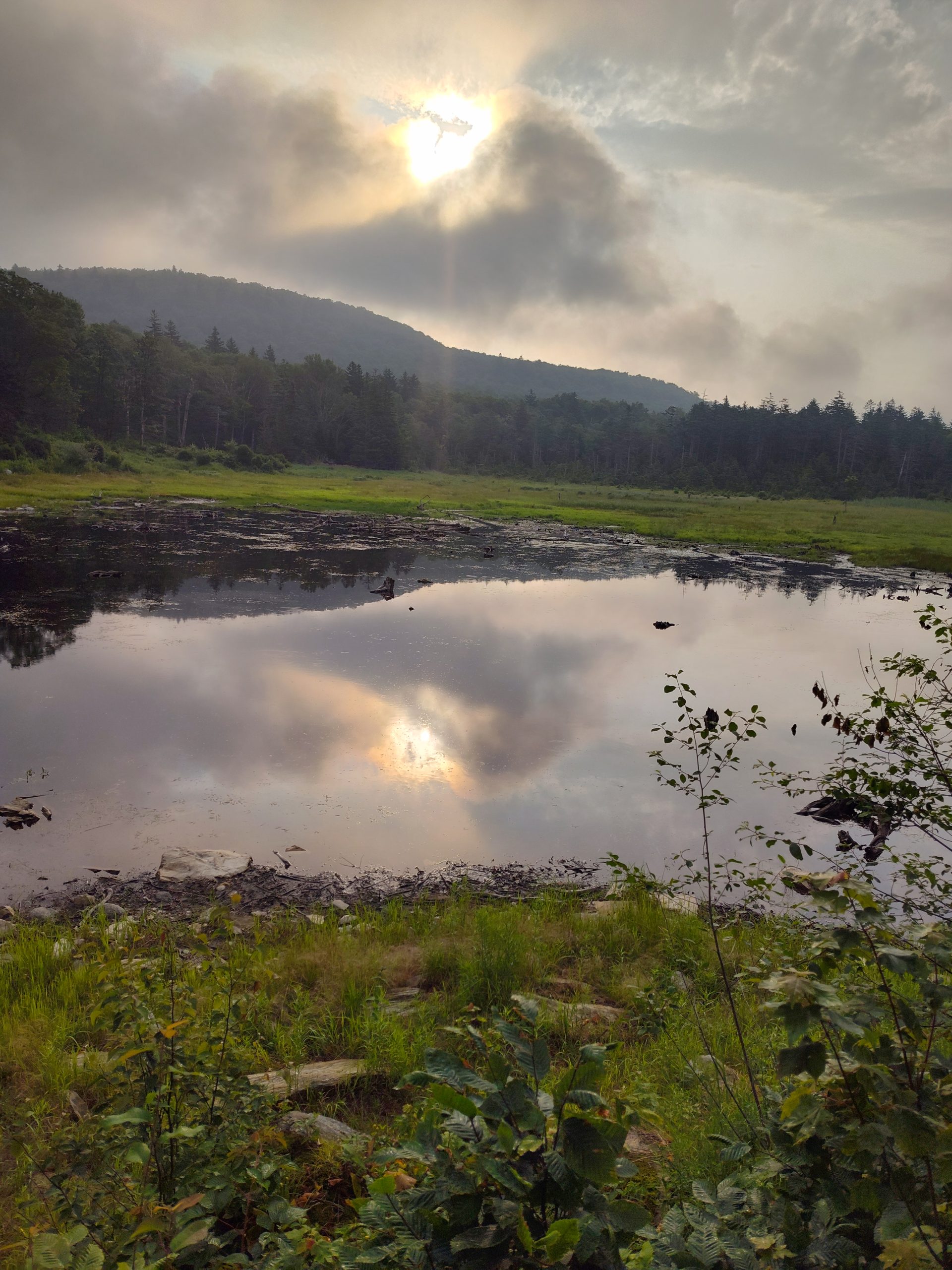
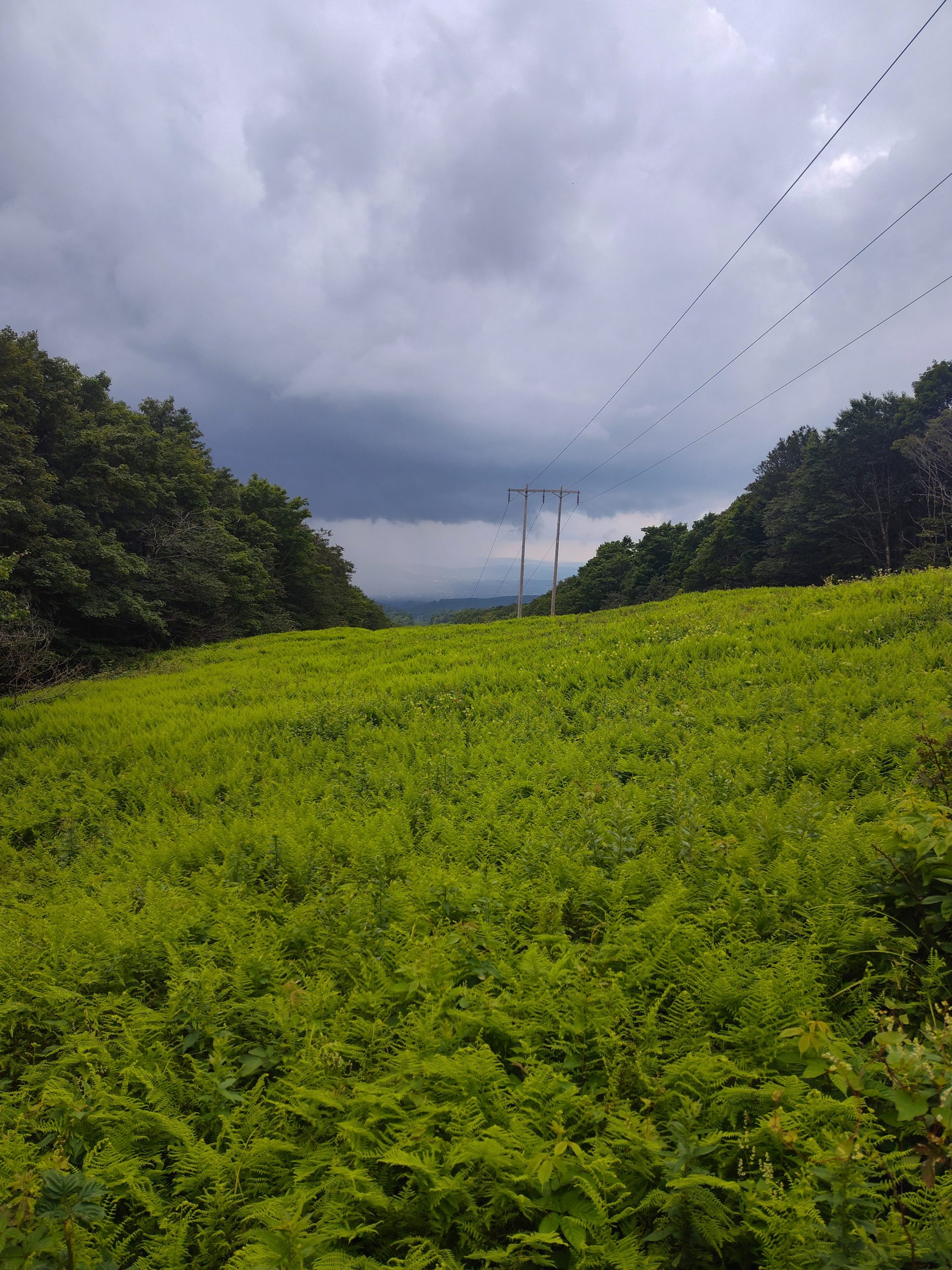
I passed a shelter and continued to climb to Maple Hill. Maple Hill had some power lines where I could see way down to Bennington in the valley below. I could also see a nasty rainstorm heading this way.
My first guess was to go back a half a mile to the shelter but that would add a mile to my trip so I decided to carry on and see what the storm will bring.
Just as I entered the Glastonbury wilderness
It poured down rain. At first it was refreshing after hiking in the sweat and bugs all day. Then it got a little chilly.
This Day was a Bad Day
After the rain ended there were now a lot of mud puddles to slog through. That slowed me down. I hiked on now soaking wet.
When I heard more rumbling I looked at the weather forecast that called for more very heavy rain. Another storm cell was coming.
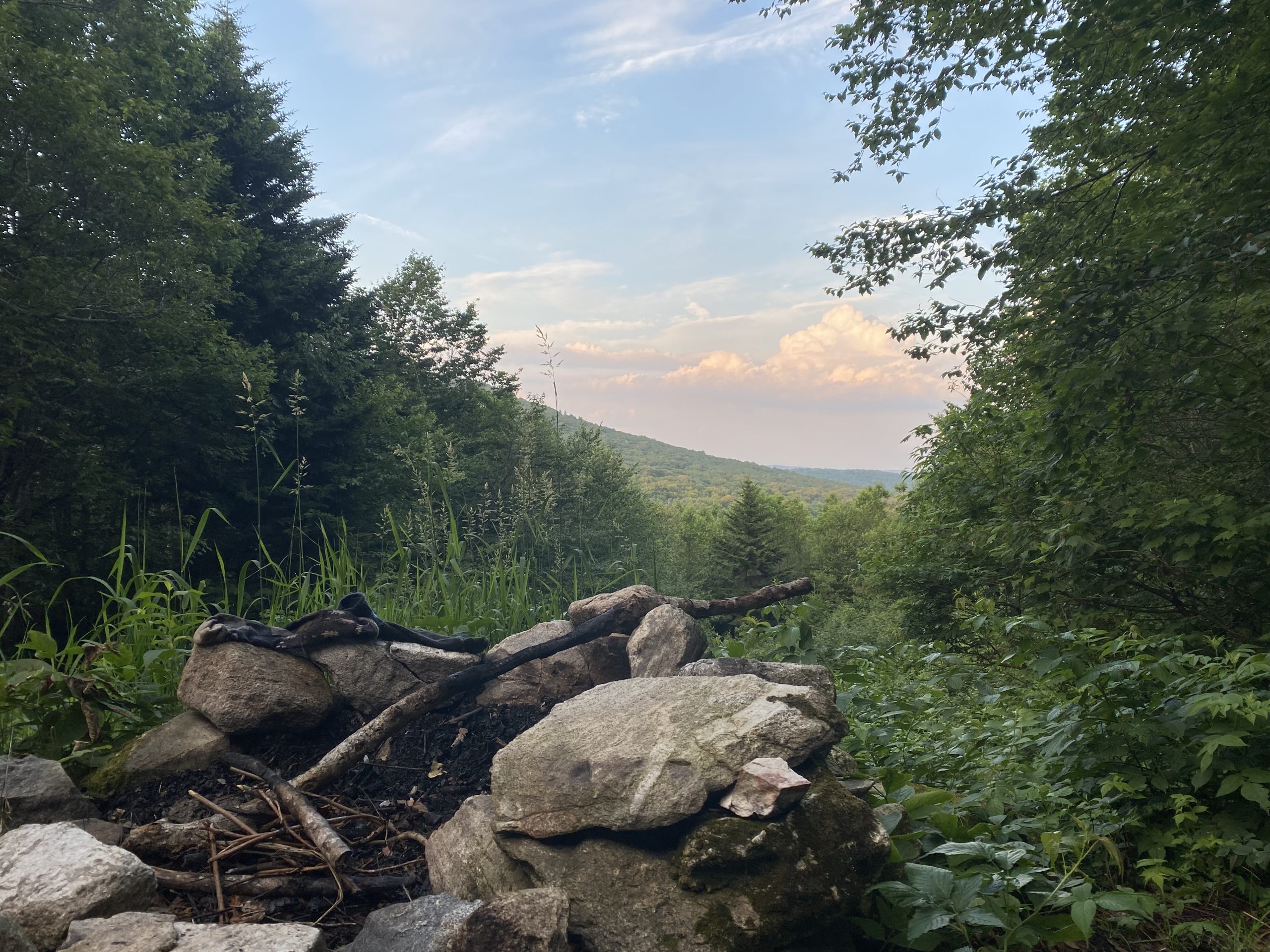
I knew I’d be sleeping in my tent tonight and I did not want to set up in the rain. So the first stealth site I found I called home for the night. I was a little disappointed when I looked and I had only done 13 miles.
Yeah it was a s*** day. Never been eaten by so many damn bugs. Heavy rain caused everything to get wet. A hellacious drop down into Route 9 Gap on a thousand knee jarring rock steps. Heavy rain turned the trail into Vermud.
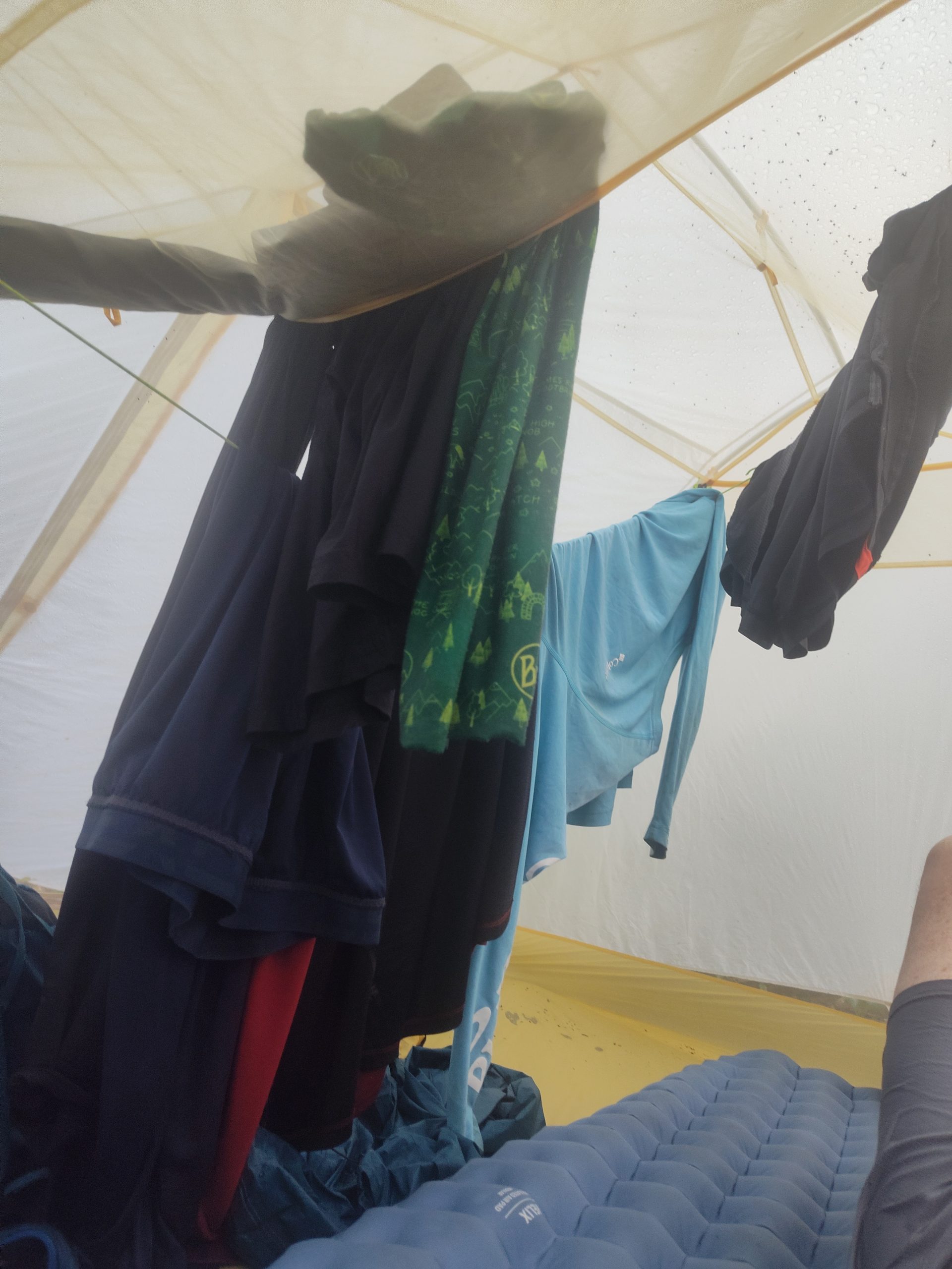
As I sat in my tent with all my wet stinky clothing hanging on lines inside I knew I needed a break. And then finally I got the break I needed. Christine with Draghose shuttling help me with some logistics. She was not interested in selling me a shuttle ride but rather she was genuinely interested in helping me. I now have a plan that will get me through the next several days and I feel re-energized.
This website contains affiliate links, which means The Trek may receive a percentage of any product or service you purchase using the links in the articles or advertisements. The buyer pays the same price as they would otherwise, and your purchase helps to support The Trek’s ongoing goal to serve you quality backpacking advice and information. Thanks for your support!
To learn more, please visit the About This Site page.
-

 Cruise & Ferry3 days ago
Holland America Unifies with American Cruise Line, Carnival, Princess, Celebrity, Royal Caribbean, Margaritaville at Sea in Alluring More US and Canada Tourists with New Innovative Tours, This is For Your Next Trip Planning
-
Travel Trends1 day ago
Tour Packages in Kerala: Exclusive & Affordable Getaways
-
Travel Trends21 hours ago
Hot Air Balloon Festivals : international Balloon Festival
-
Spiritual Travel3 days ago
IHCL to Hit 400 Hotels as Sports, Religious Travel Drive Demand
-
Ways to Travel3 days ago
Exodus Adventure Travels Launches A “September to Remember”
-
Discounts & Price Drops3 days ago
South India Shopping Mall offers mega Ashadam discounts
-
Destinations & Things To Do1 day ago
Dubai, Bali, Bangkok were top picks for Indians who travelled in 2025 so far: Oyo
-
Discounts & Price Drops2 days ago
Mega discounts at South India Shopping Mall
-
Flight Buzz3 days ago
American, Delta and United Airlines Face Many Flight Cancellations Across US Due to Severe Thunderstorms: New Updates You Need to Know
-
Brand Stories1 day ago
Artificial intelligence put to work on extension


