
Destinations & Things To Do
Bulgaria Ranked Among Europe’s Top 7 Budget-Friendly Tourist Destinations by Times Entertainment

Bulgaria has been ranked among the seven most affordable European countries for tourists, according to a recent list published by Times Entertainment, a travel and lifestyle outlet under the Times of India media group. While Europe is often considered an expensive continent to visit, with luxury hotels, costly meals, and pricey attractions, Times Entertainment notes that there are still many culturally rich and visually stunning destinations where travelers can enjoy memorable experiences without breaking the bank.
Bulgaria appears on the list, praised for offering excellent value for money. Whether relaxing on the beaches of the Black Sea coast or skiing in the country’s scenic mountains, visitors can enjoy a wide range of activities at budget-friendly prices. The article highlights Sofia as a destination that blends rich history with vibrant nightlife. Dining out can cost just a few euros, and combined with affordable transport and accommodation, Bulgaria emerges as an attractive option for budget-conscious travelers.
Other countries featured in the ranking of Europe’s most cost-effective destinations include Romania, Hungary, Poland, Bosnia and Herzegovina, Albania, and Portugal.
/DS/


A fallen hiker in the mountains of Washington found himself in dire straits: badly injured, alone, and approaching hypothermia this past Monday, July 14.
According to a press release from the U.S. Navy’s air station on Whidbey Island, the hiker, 31-year-old Ryan Polkinghorn, was climbing the Chickamin Glacier on the northern slopes of 8,440-foot Sinister Peak, a remote, rugged mountain in the North Cascades. That’s when he lost his footing and tumbled roughly 200 feet down the steep ice field.
Luckily for Polkinghorn, he didn’t lose consciousness during the fall. And when he came to a stop, Polkinghorn began screaming for help.
The yelling likely saved his life.
Hikers across the canyon heard his cries, and although they could not see or reach Polkinghorn, they sent out a distress call using their Garmin inReach. Emergency responders received this SOS at 1:38 P.M. according to a media release from the Chelan County Sheriff’s Office.
Once they’d called for help, the other hikers navigated tricky terrain to reach Polkinghorn. “After traversing glacial and rocky terrain” they finally located the fallen climber, and saw that he “had sustained head, neck, and shoulder injuries … and was showing signs of early-stage hypothermia.”
After reporting this to the sheriff’s office, Chelan County contacted the Naval Air Station at Whidbey for a hoist-capable helicopter, which airlifted Polkinghorn off the mountain that afternoon. The injured hiker was then taken to Harborview Medical Center in Seattle for further treatment.
The rescue highlights the importance of carrying a satellite emergency device or a phone equipped with off-grid SOS functionality when adventuring solo in the backcountry. It’s also proof that, when all else fails, a powerful scream or loud noise can save one’s life in a backcountry emergency.
In its published guide General Backcountry Safety, the Colorado-based Mountain Rescue Aspen advises readers to blow a whistle and yell “HELP,” and not to give up if you do not hear a response. “Rock walls and valleys play strange tricks with echoes and you may lose your potential rescuers by attempting to locate them,” MRA writes.
“No matter how faint his or her yell may be, stay put and keep yelling,” the group adds.
The rescue on Sinister Peak has also ignited the debate about who should foot the bill for search and rescue operations: the victim, local taxpayers, or nonprofit rescue outfits. On the Chelan County Sheriff’s Office Facebook post that reported the Sinister Peak rescue, one of the top comments was, “Send him a BILL!”
Earlier this summer, another Washington sheriff’s office considered an ordinance that would charge hikers fines for rescue, if they’re found to have behaved recklessly, such as venturing off trail to take a photo on the edge of a slippery gorge. In late June, five separate distress calls on the same trail in a single week prompted the responding rescue organization, a volunteer group, to encourage hikers to use more caution when recreating outside.

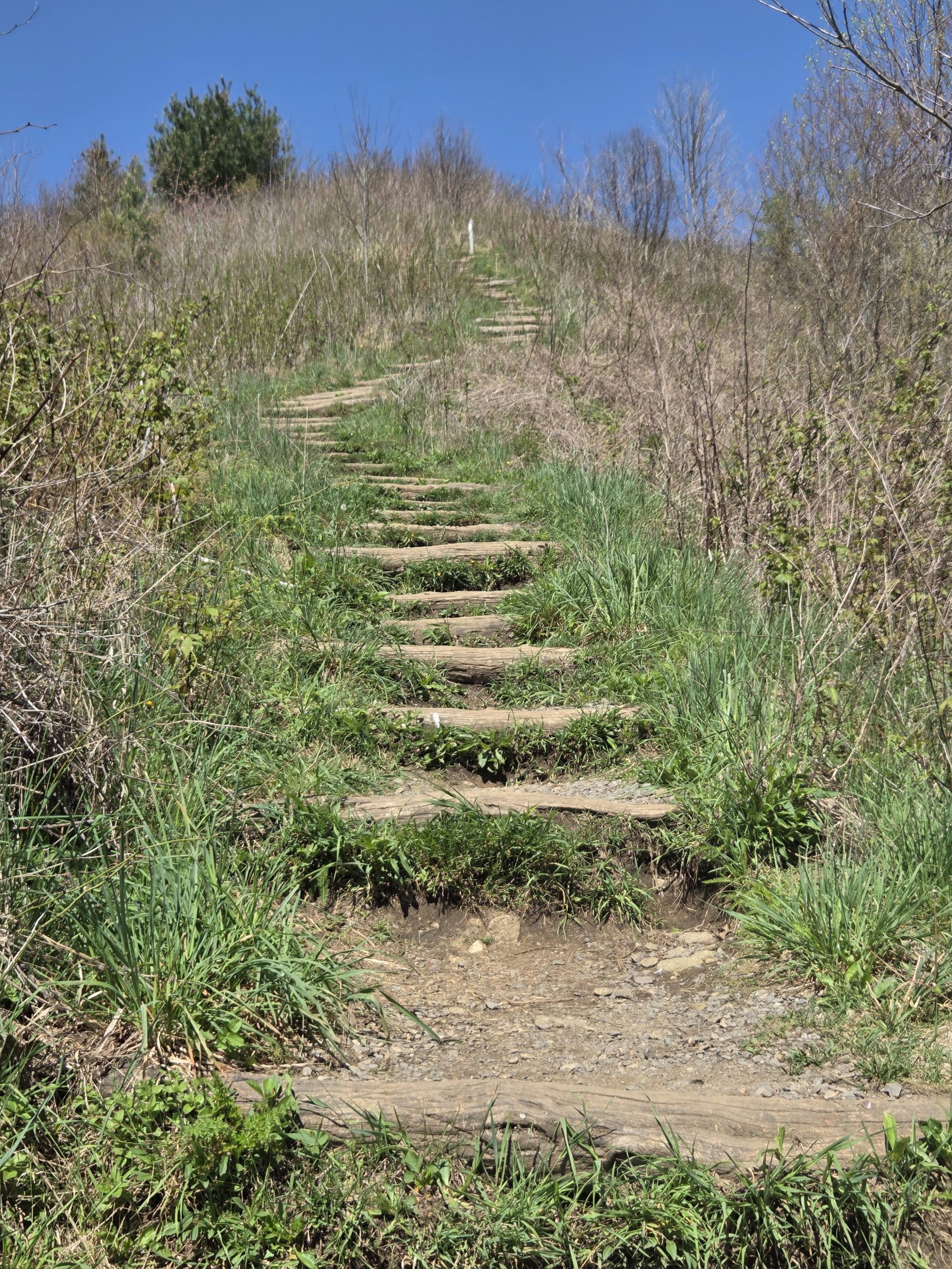
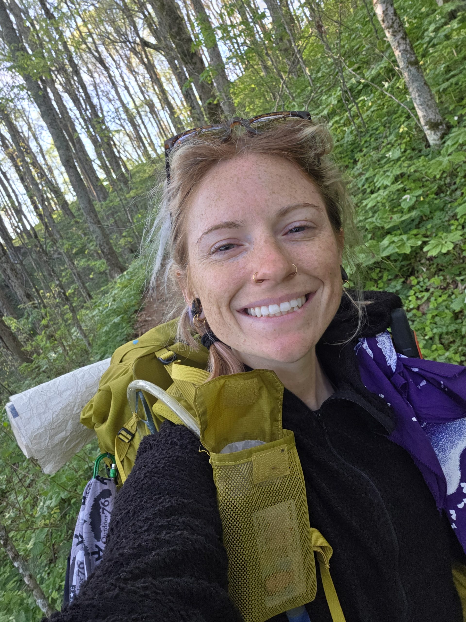
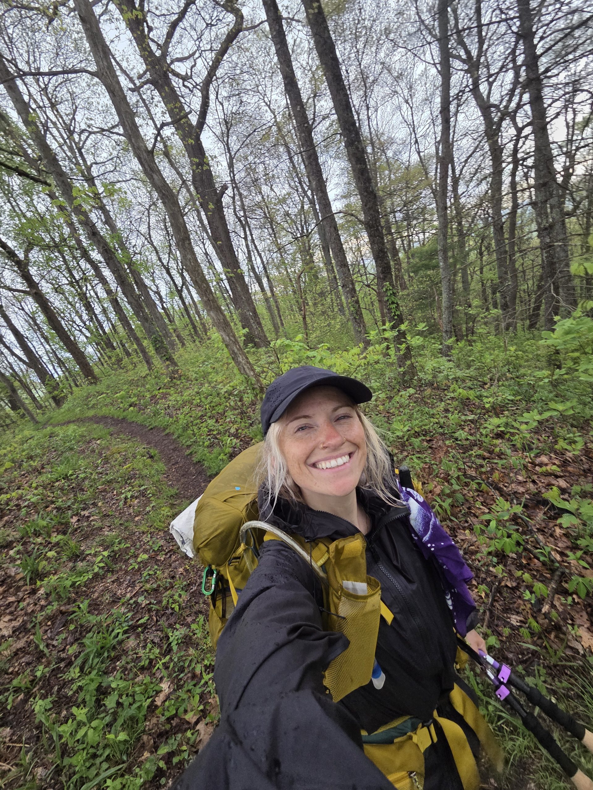
I am still hiking the Appalachian Trail! I’m hiking the Appalachian Trail so much, in fact, it’s been hard to keep up with blogs! I apologize for leaving you all in the Smokies for so long, but let’s get out of this National Park together! Thanks for your support and if you want more videos, check my Instagram stories!
Day 26 – Groundhog Creek Shelter (249) to Tentsite outside of Hot Spring, NC (266)
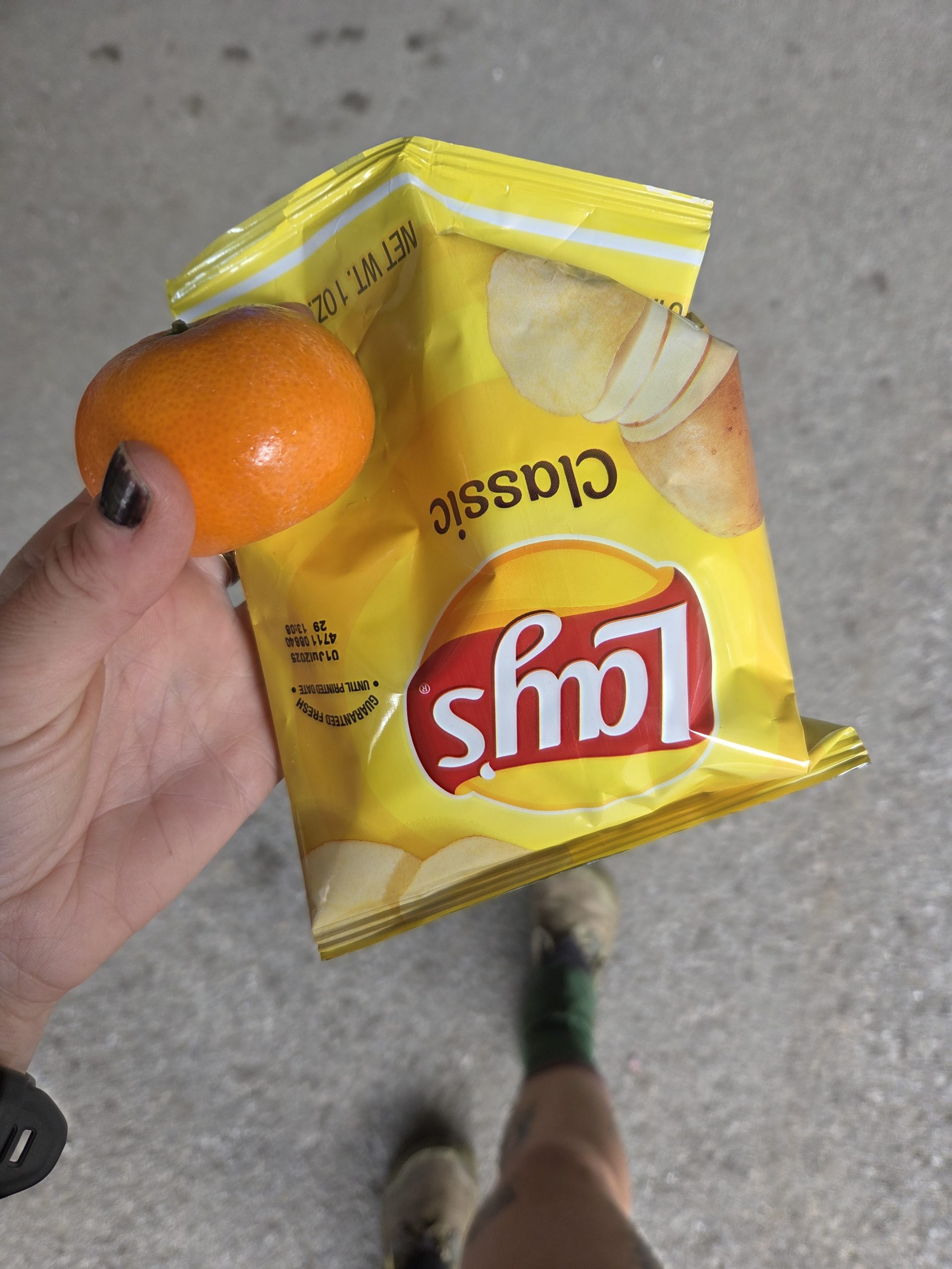
I woke up on day 26 and was exhausted! The mice in the shelter had a little party in the metal gutters overnight. The privy was awful and the opposite of private but I really had to go – until I saw the inside. Suddenly, I figured I could hold it.
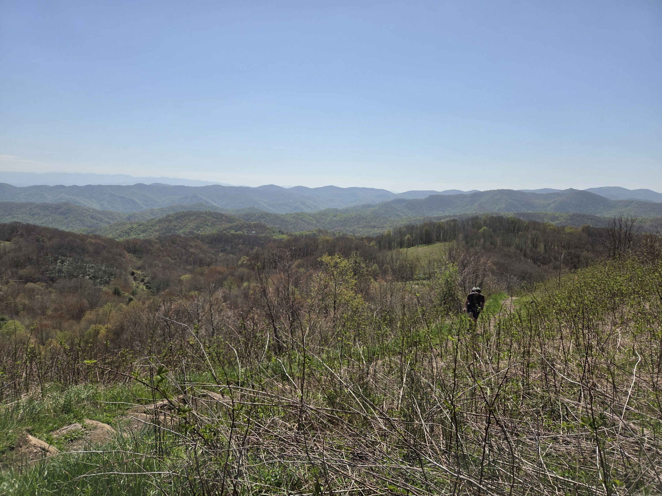
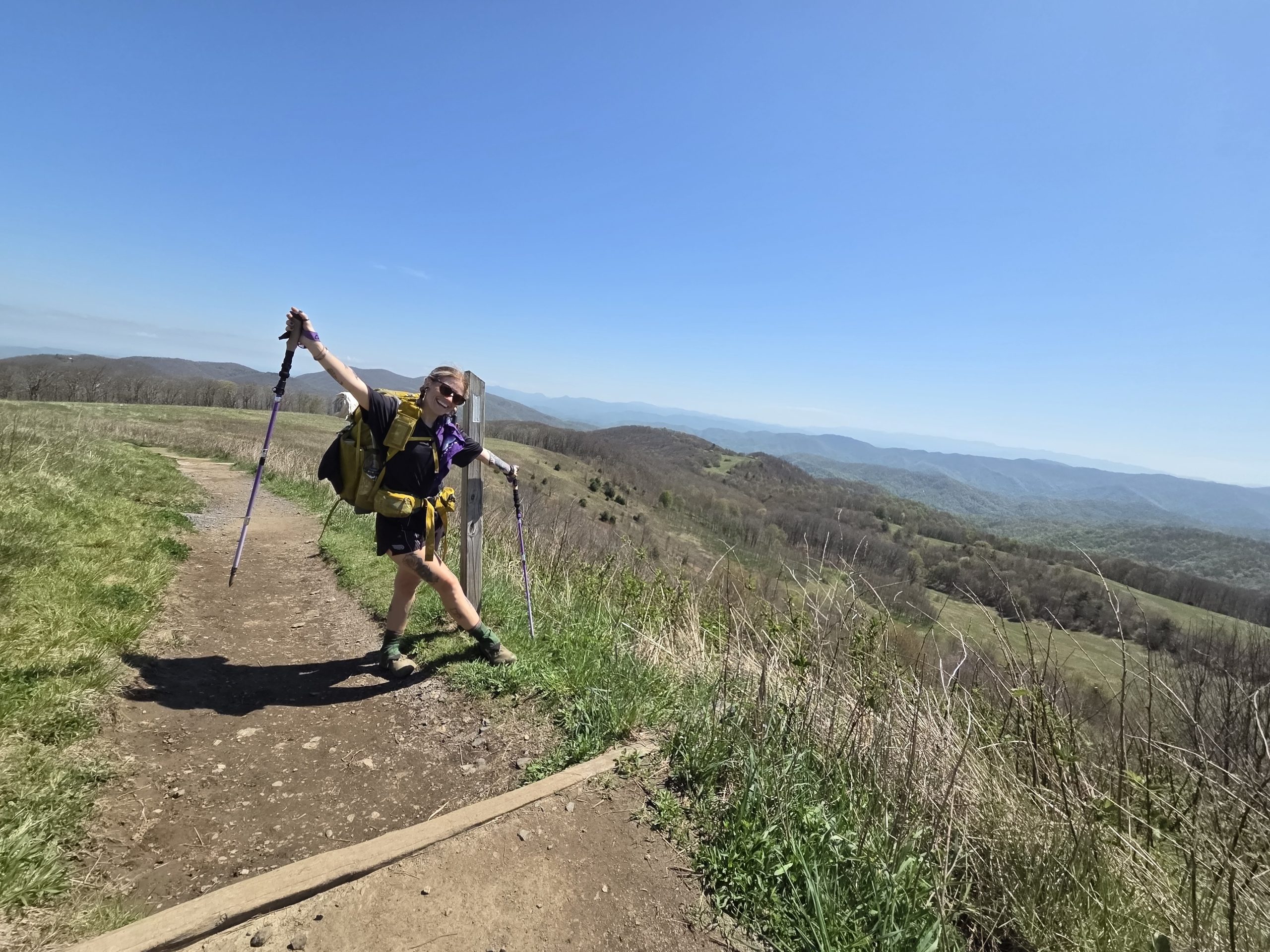
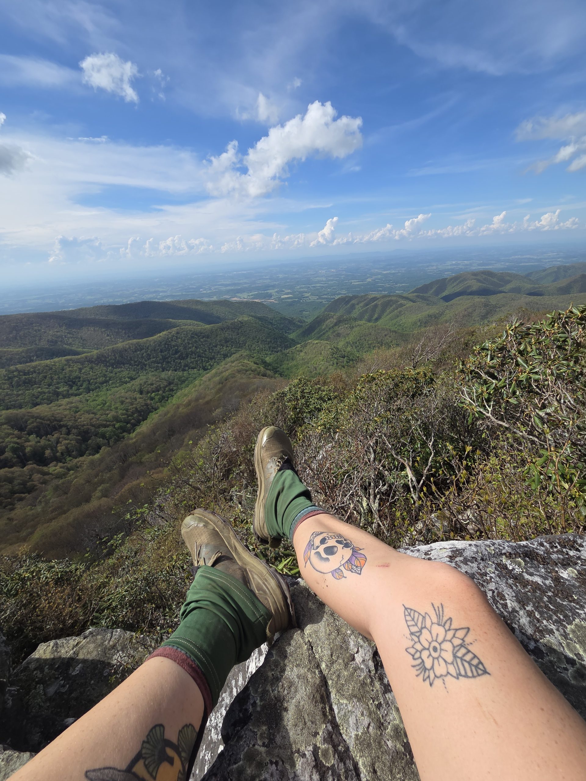
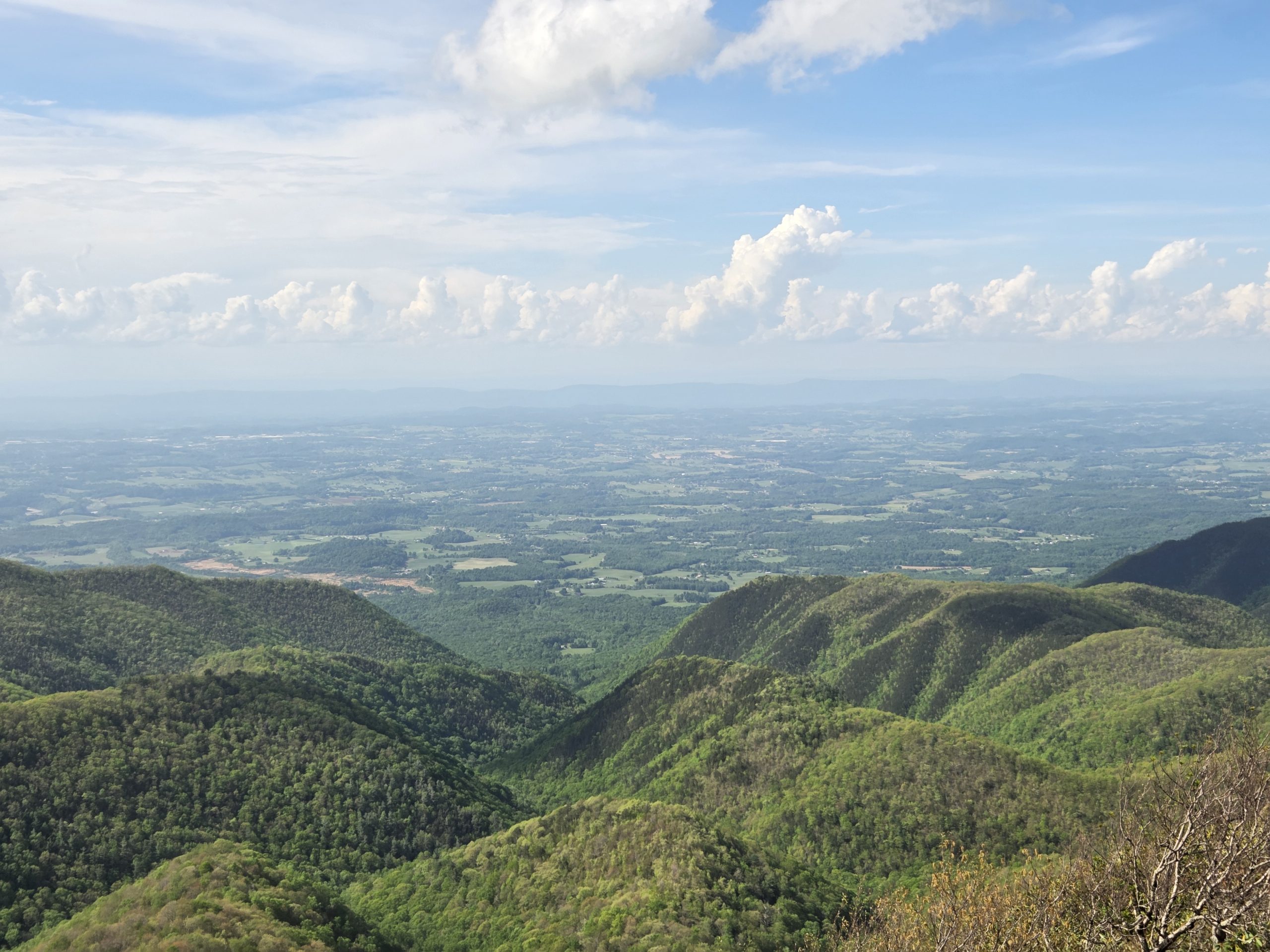
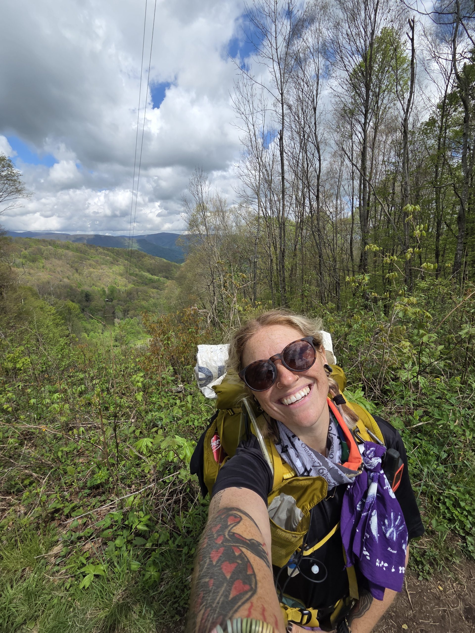
Thankfully, an exciting milestone was just a few miles away: Max Patch!
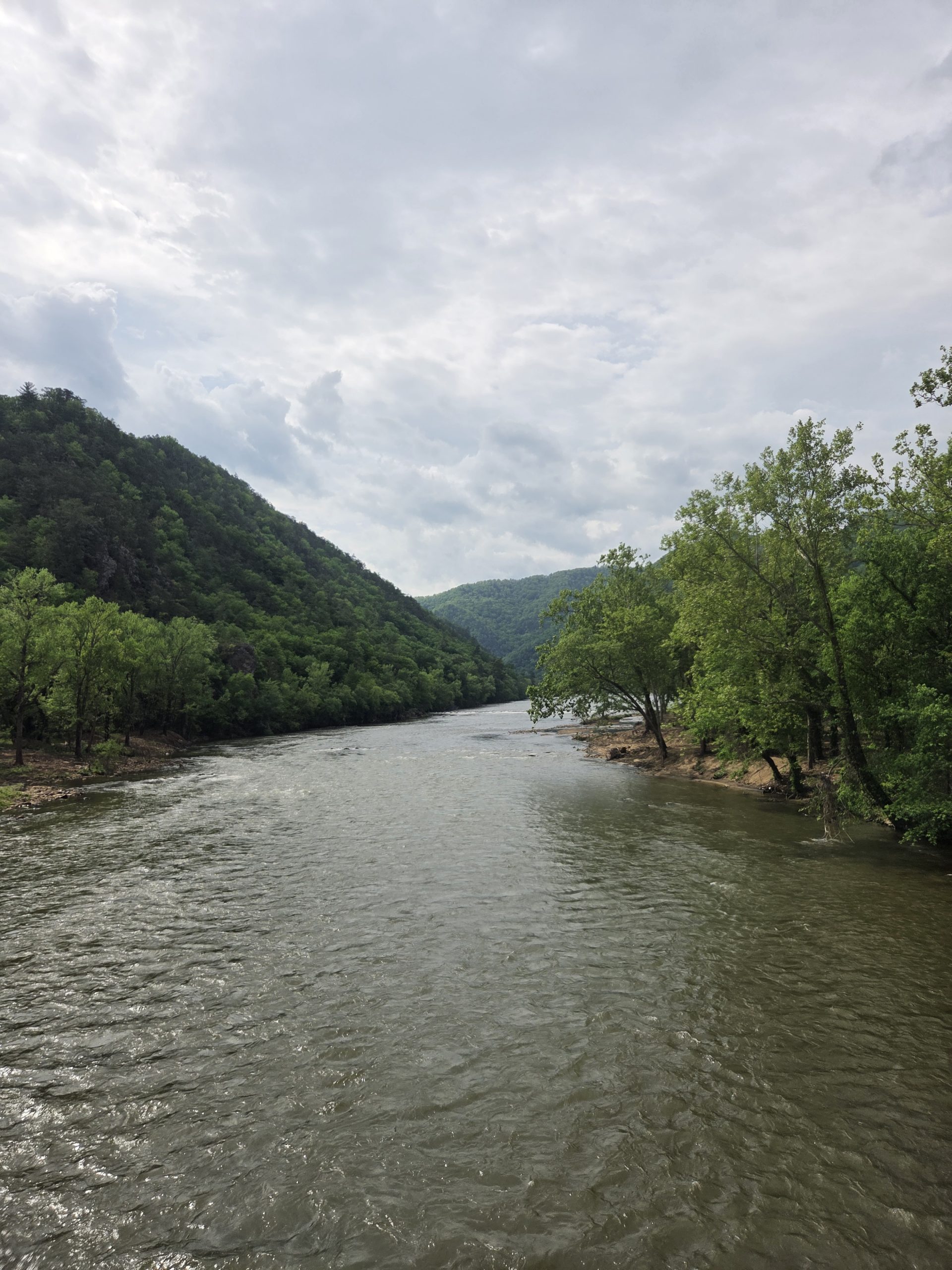
The views were beautiful and a nice change from the green tunnel! The patch was truly max.
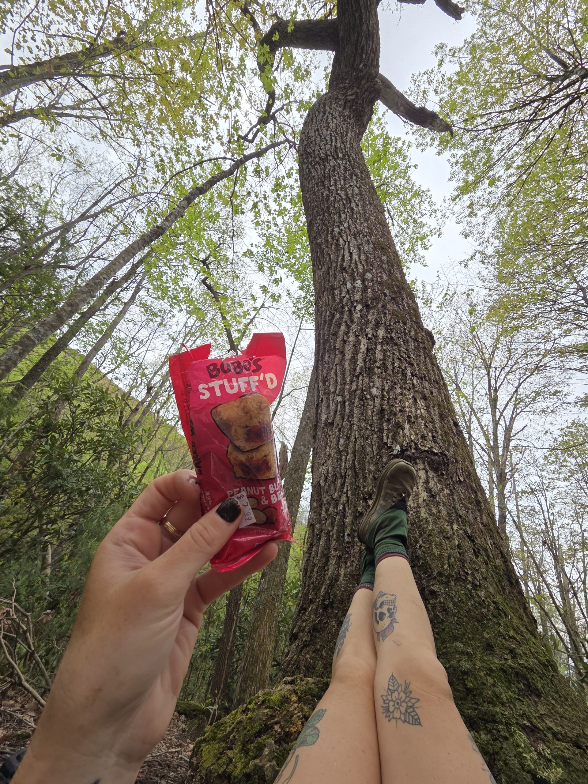
After moseying across Max Patch I sat with a friend and had a snack while he rested his hurting feet. Replacing shoes on trail is always risky business since our feet are our only mode of transportation.
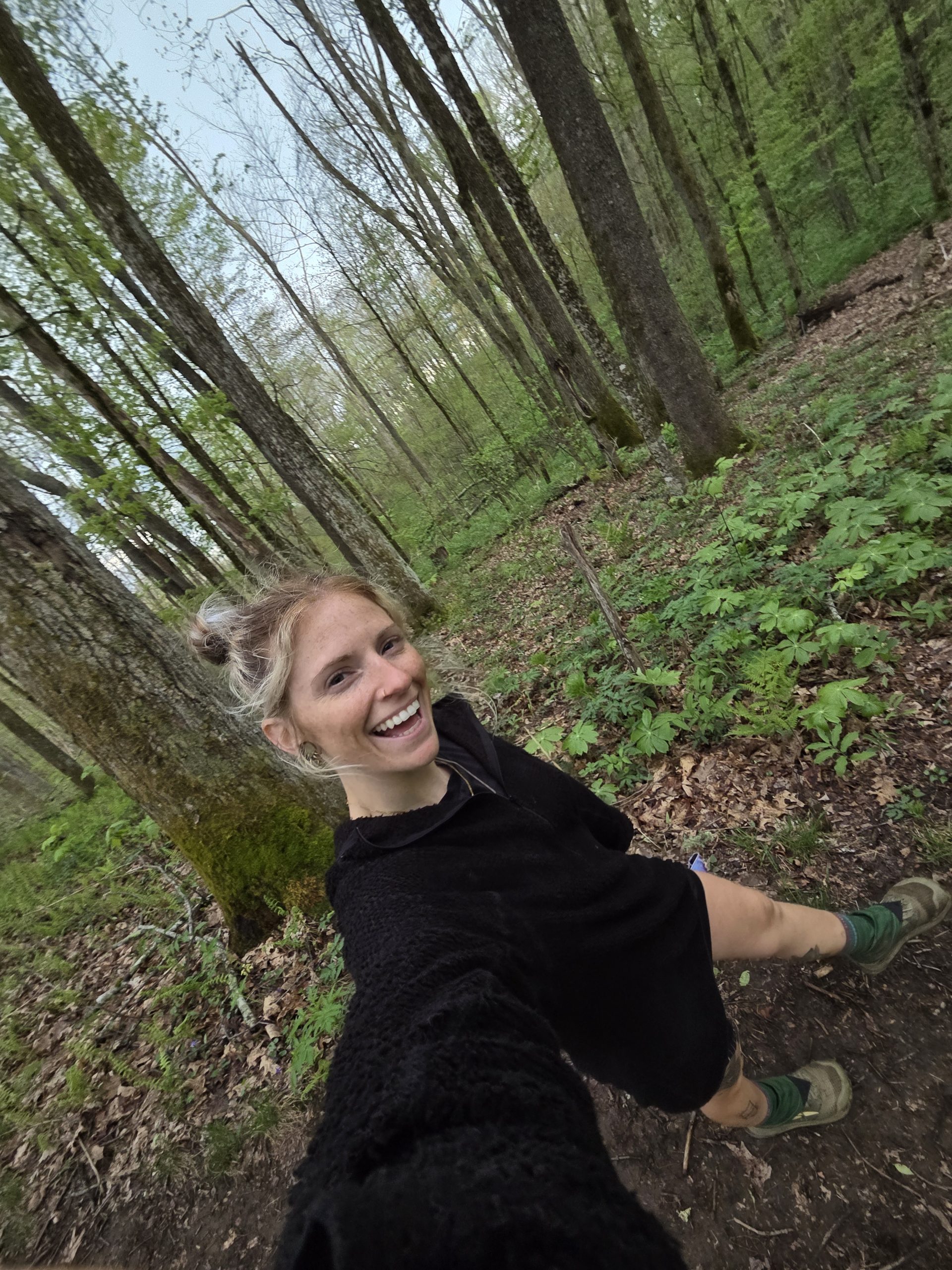
After the break I spent the rest of the day hiking alone. The group I’ve been hiking with tends to stick together and conversation helps the day go quickly. However, it was really nice to be alone in the woods. I tuned into the small sounds of the forest before switching to some music to power through the rest of the hike.
I got to a campsite at mile marker 266 and put my tyvek down so I could lay down and put my feet up. I set up my tent but, after feeling a little uncomfortable, trusted my gut and moved it to the other end of the tentsite.
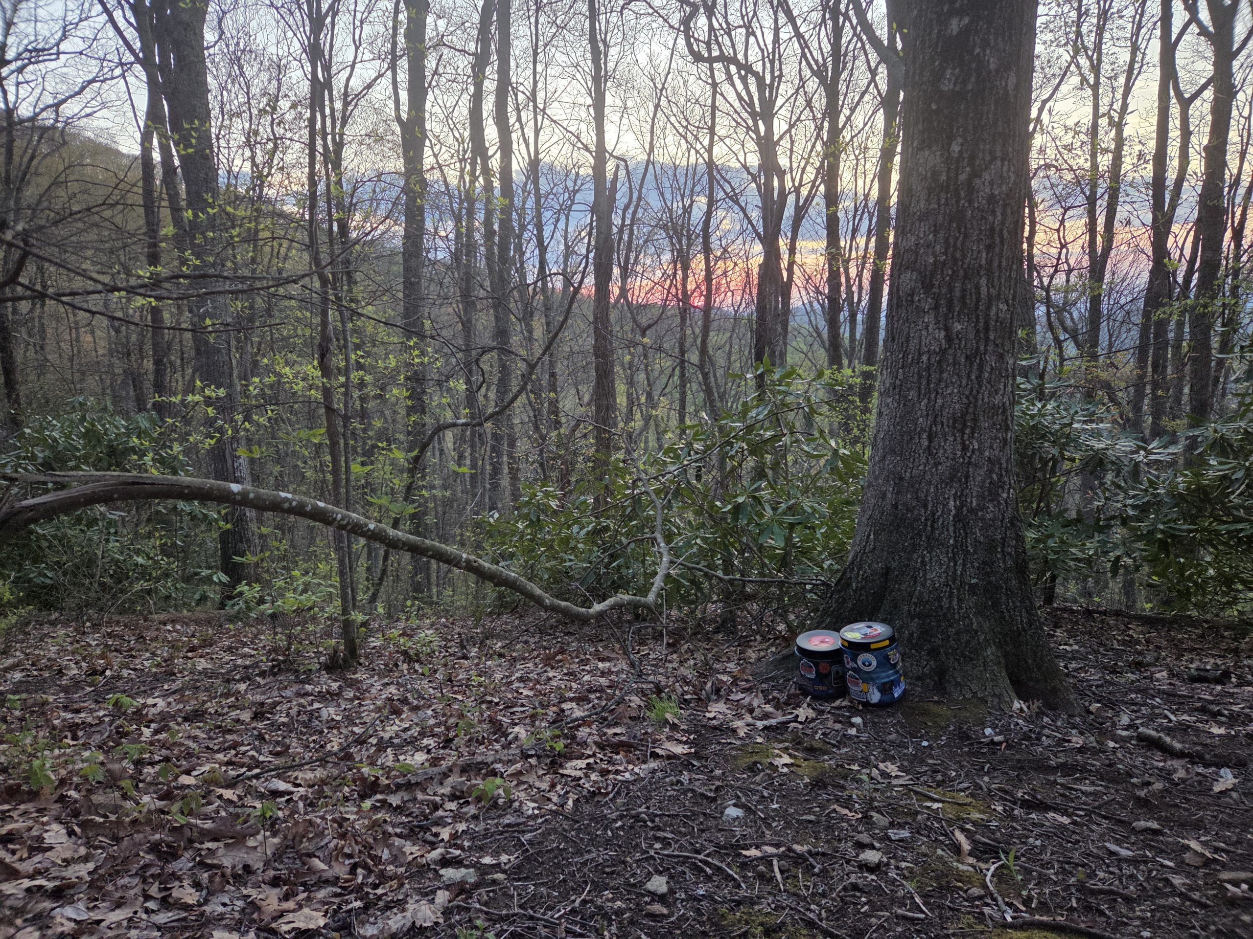
I caught some of the sunset before zipping up the door on my Durston home and finally got some solid rest.
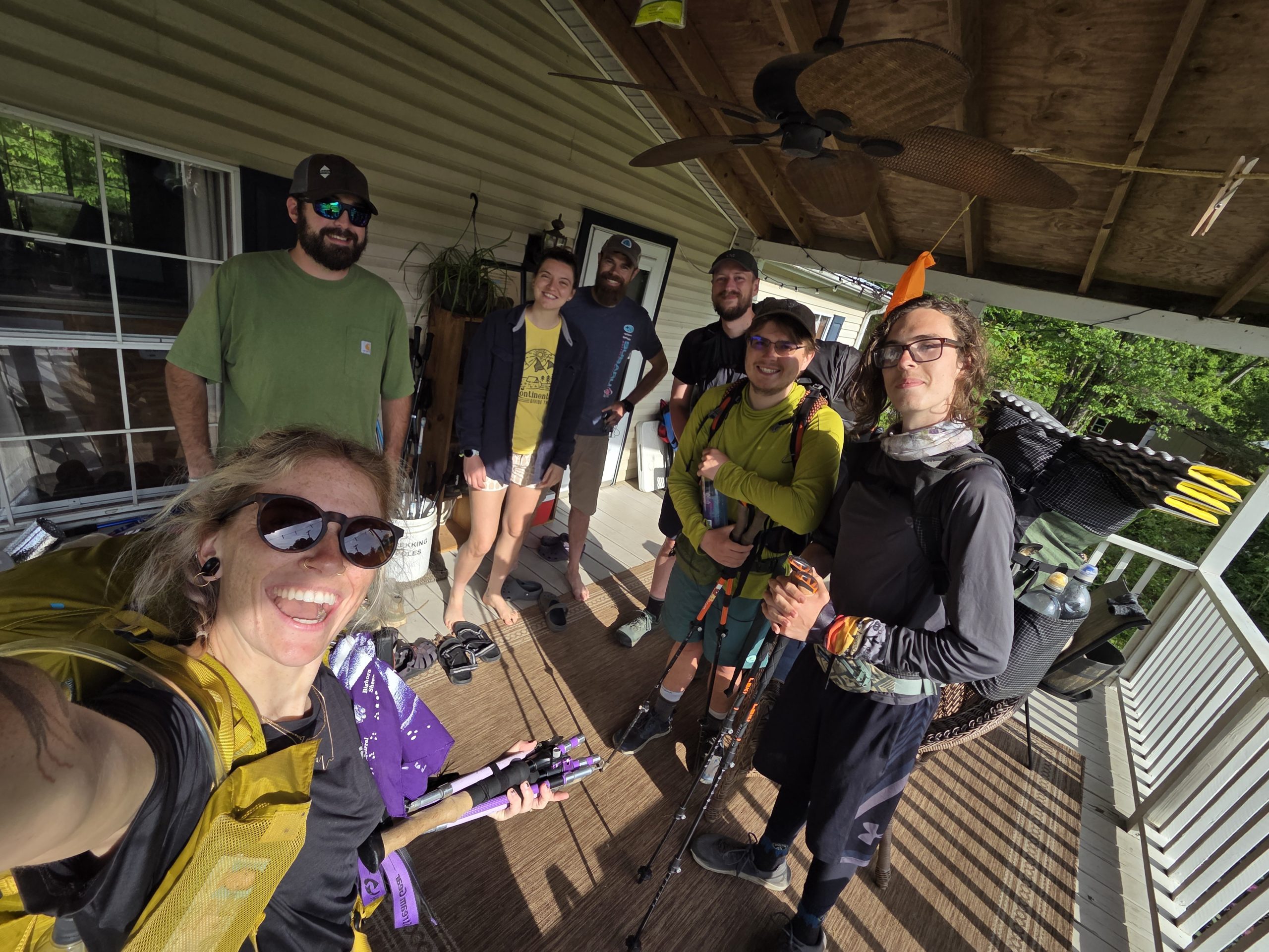
Day 27 – Tentsite outside of Hot Springs (266) to Appalachian Trail-er (275)
I woke up and hit the trail, knowing I had a short day into town. The psychological pull of a town nearby feels like a magnet physically pulling you! When you’re walking 9 more miles to a tentsite it can be a drag but 9 miles into a place with real food, a shower, a bed! It’s easy work.
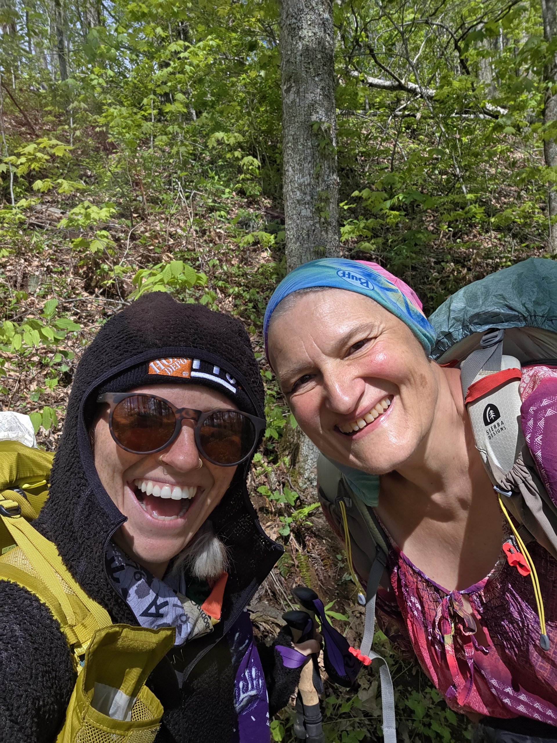
We found Chef and Stitch still eating breakfast and packing up a few miles ahead and we all met up at the Hot Springs trailhead. There’s something really sweet about hearing your friends clap and cheer you on as you reach the goal for the day.
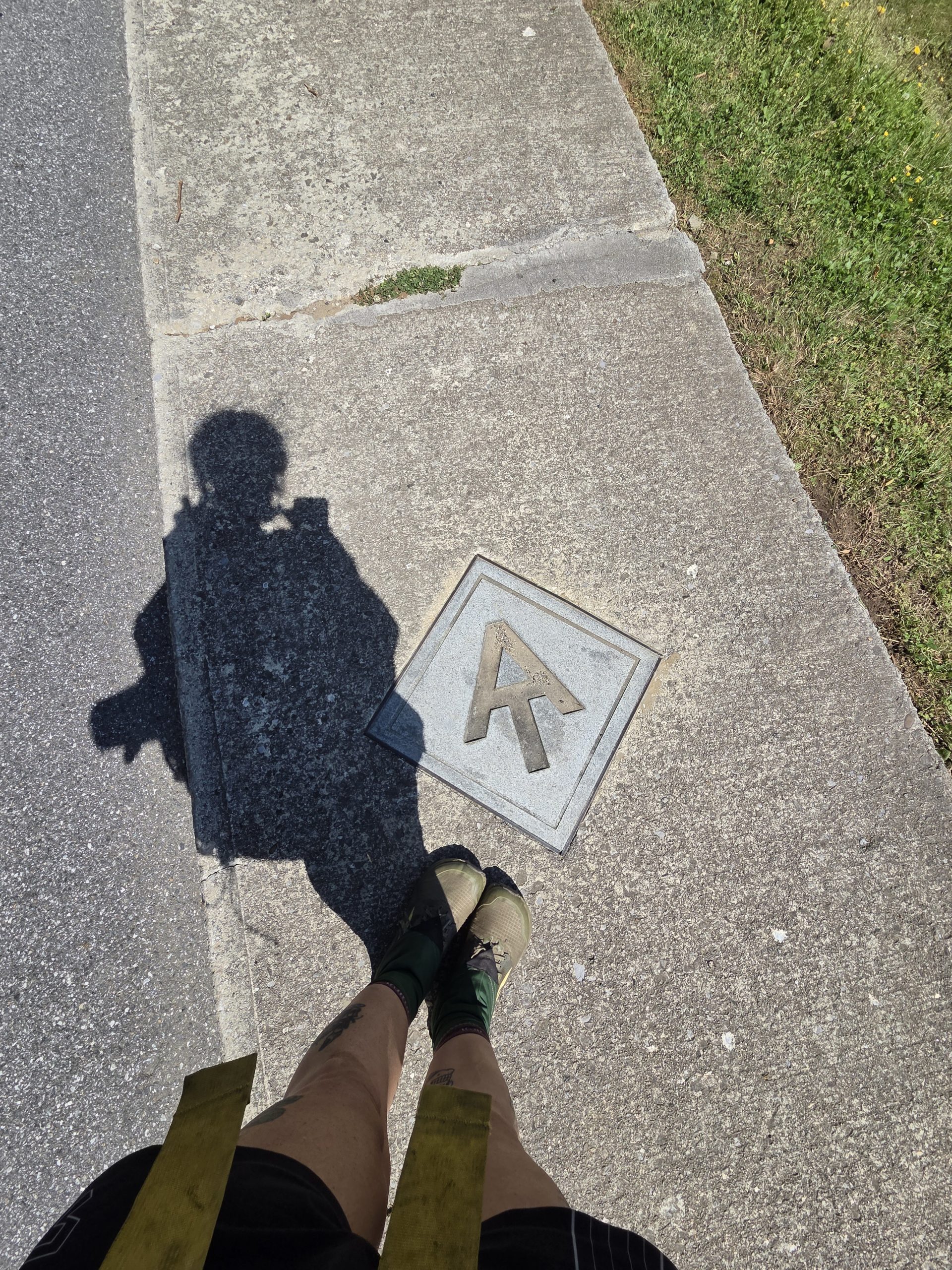
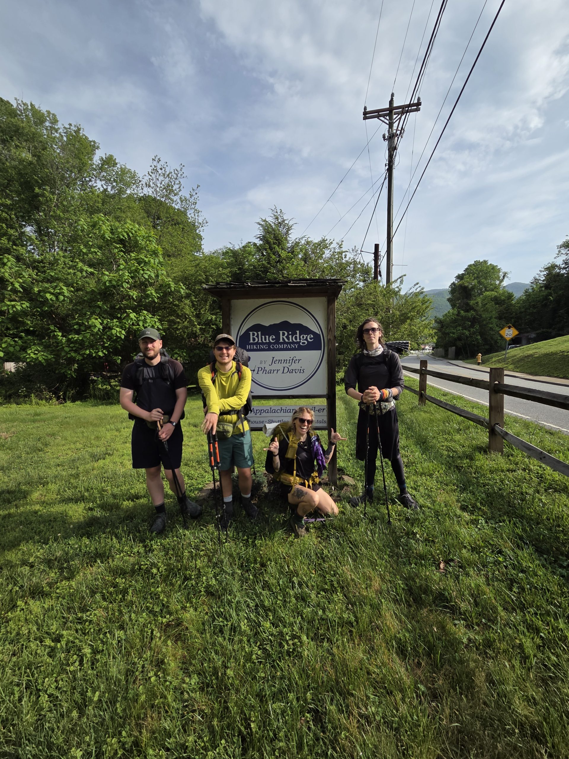
We all walked the town part of the trail to the Appalachian Trail-er hostel. The trail is marked right into the sidewalk through this town!
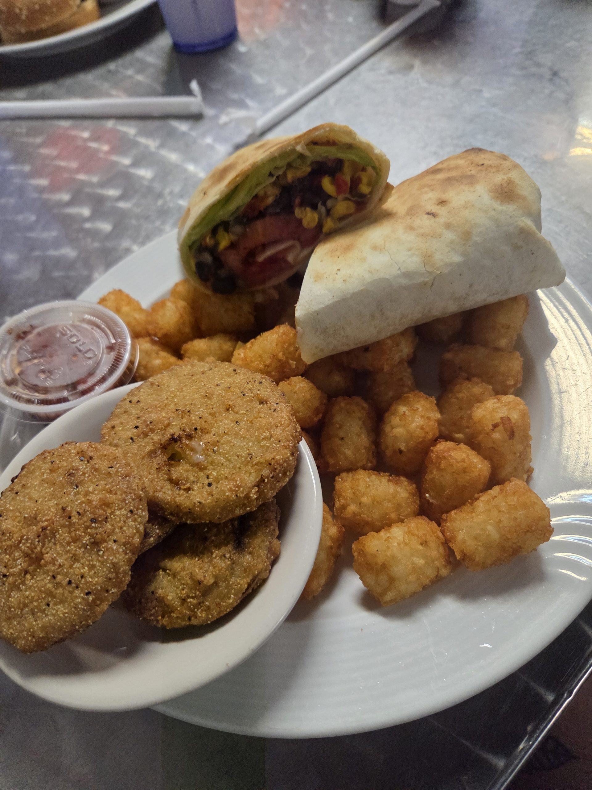
We got settled in at the hostel with the incredible hosts and showered off the days of outside living. Dressed in our borrowed loaner clothes we hobbled to the town diner, with our hiker hunger taking over.
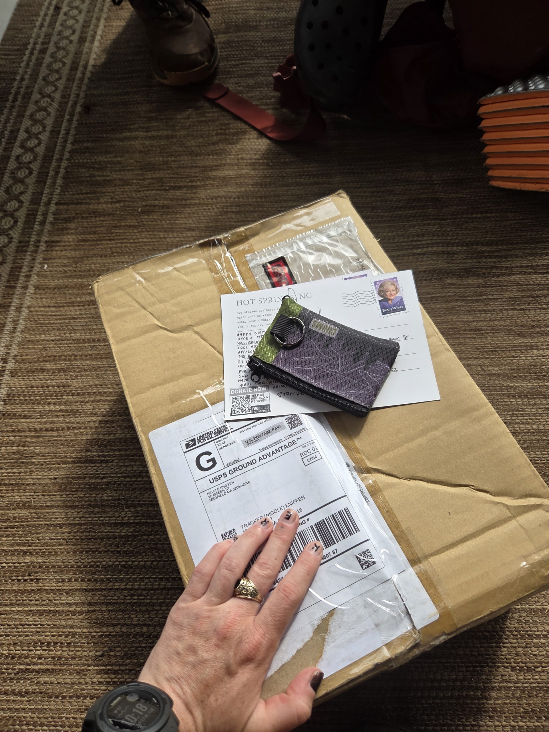
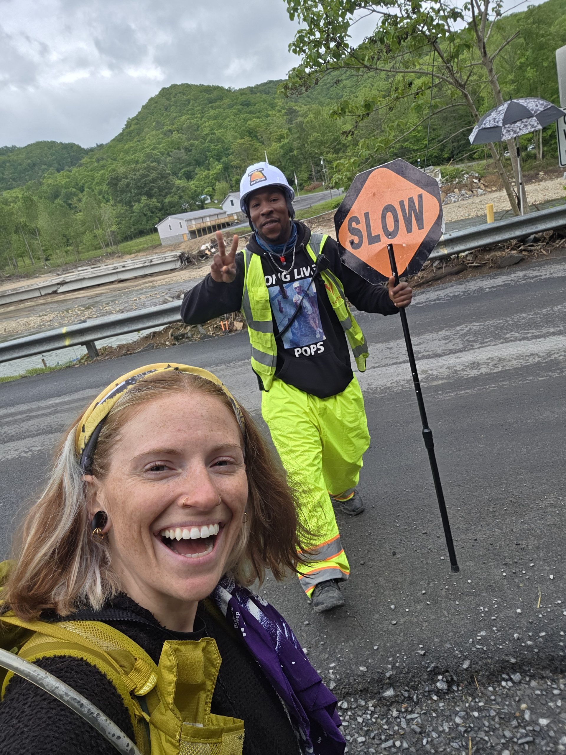
Hot Springs, NC is a beautiful town full of kind and welcoming people. Unfortunately, it is one of many towns that were substantially impacted by Hurricane Helene. While it has been 8 months or so since the hurricane, the town is still recovering. It was an honor to still be welcomed into town and supporting the local businesses that were able to be open was a priority for all the hikers there.
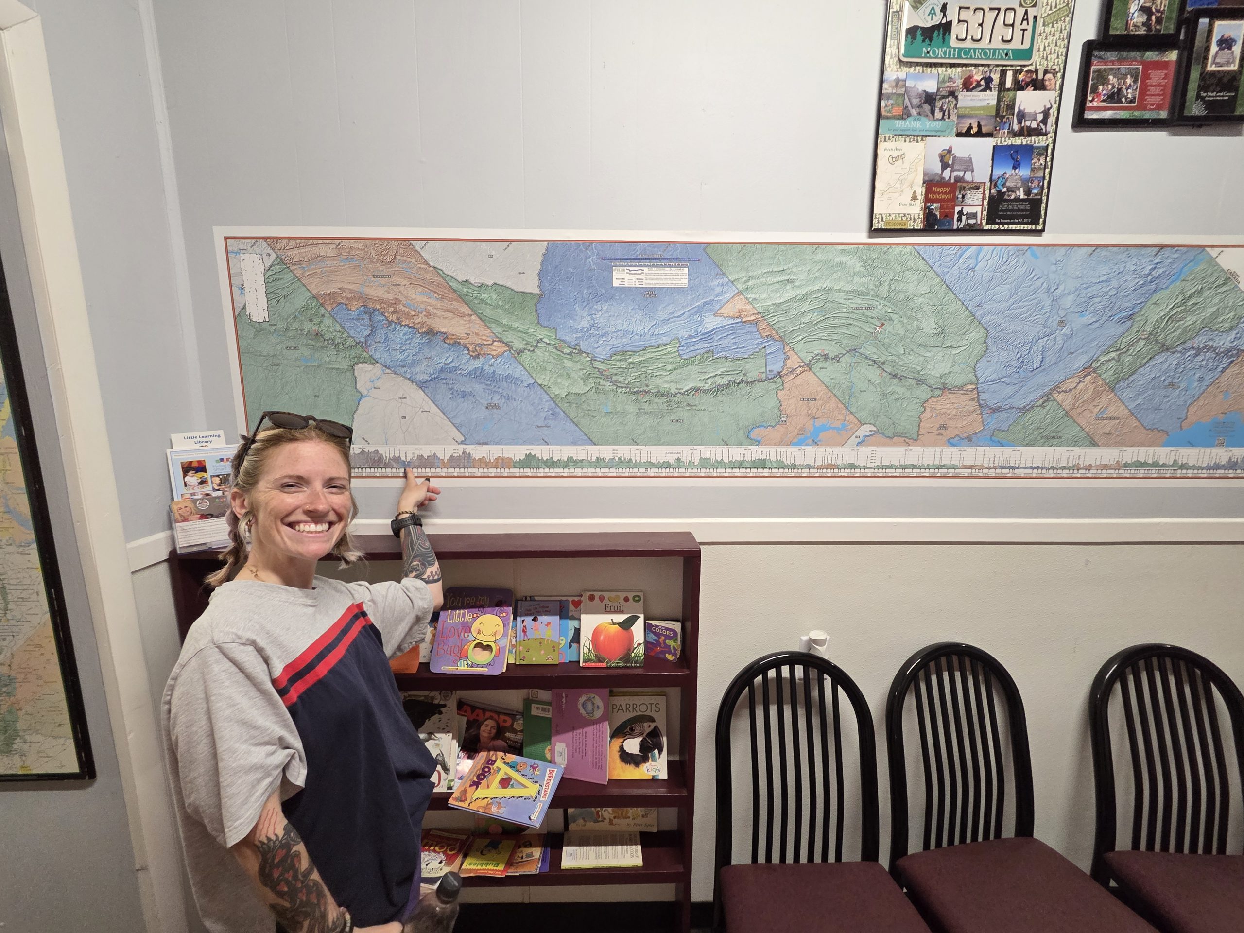
We chowed down lunch and before we left decided we’d be back soon for dinner, too. Next stop was the outfitter! Bluff Mountain Outfitter was wonderful and well stocked for hikers in particular and the trail goes right past the front door!
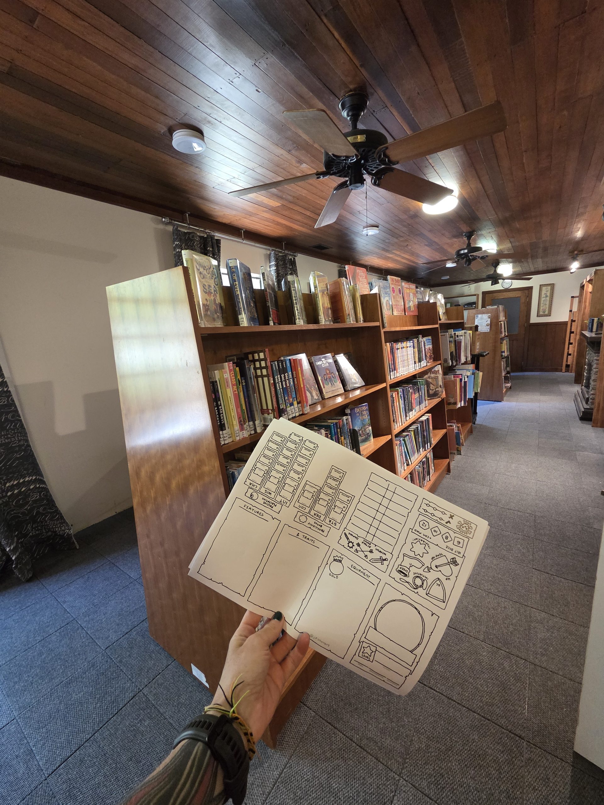
Before heading back to the diner to dinner we stopped into the temporary library to print some Dungeons and Dragons character sheets. The librarian was kind and helpful and it was nice to see the town still have a resource while funding is raised to rebuild the original library.
After dinner, I relaxed around the hostel and chatted with the hosts and hikers. I needed a new pack and talking gear with past and current thru hikers is a blast.
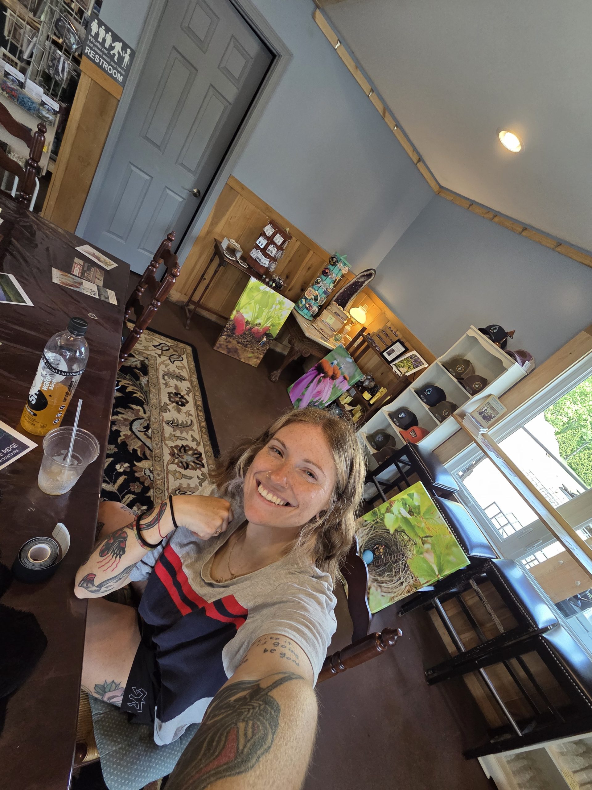
Day 28 – Zero day in Hot Springs, NC!
In the morning I asked Big Cat where to get coffee and she told me about the local shop – Artisun. Artisun was also destroyed by Helene but luckily had purchased a property that was meant to become an art gallery. When I got there it was both an art gallery and a coffee shop! They also sell local goods from jewlery to stickers.
I hung out for hours, catching up in my journal and chatting with other customers. I was honored to meet Sarah Decker – former thru hiker, talented photographer, and creator of the “Crappalachian Trail” poster. She was hanging a series of prints she photographed during Covid with tiny figurines doing different types of work amongst the giant plants and vegetables of her garden. We chatted for a while and she taught me about how privies work (she maintains one of the local shelters so knows all the inner workings of the mouldering privies). Sarah has a deck of cards with the privies of the Appalachian Trail coming out this Fall – perfect winter holiday gift!
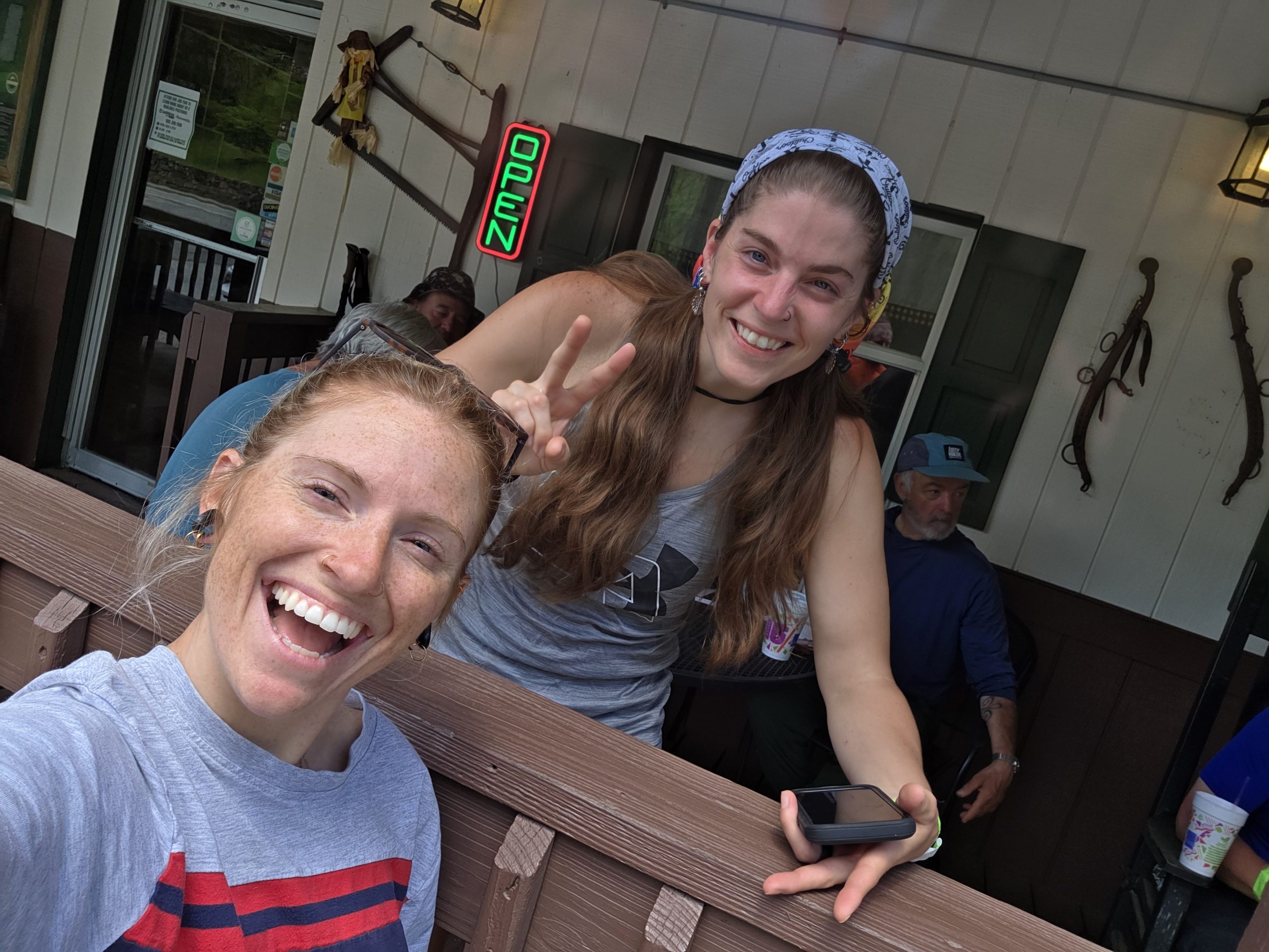
More hikers were walking into town and I was so excited to see Trash Panda Liz! Since we don’t all see eachother everyday, towns can feel like little family reunions.
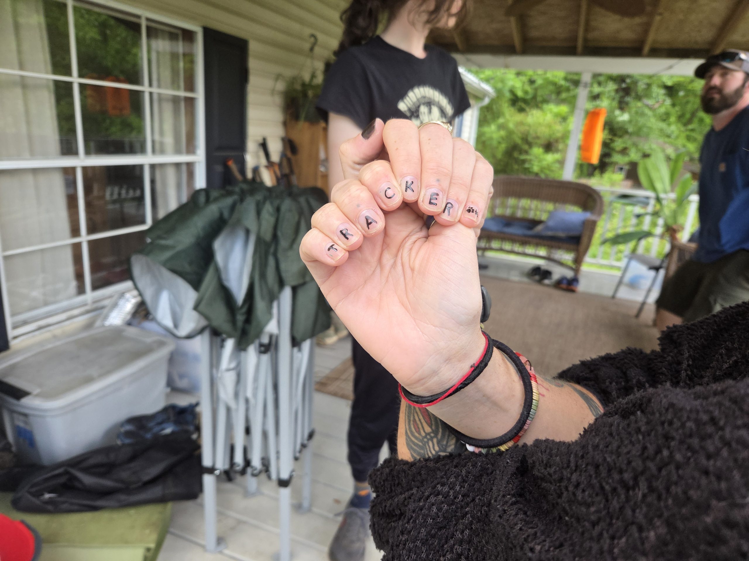
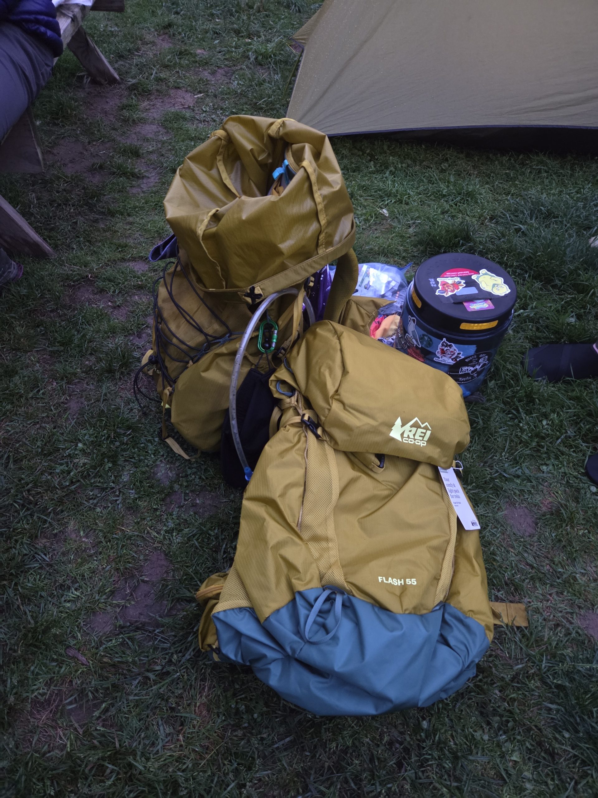
Most of the day was spent resting, eating, painting nails, buying resupply food, remembering what I forgot to buy, and going back to buy more. I also got in touch with REI about my pack. The hip belt was too large and I needed a new pack before more issues arose. Thankfully, they ran a return for my current Flash 55 and sent a new, smaller Flash 55 to Erwin, TN!
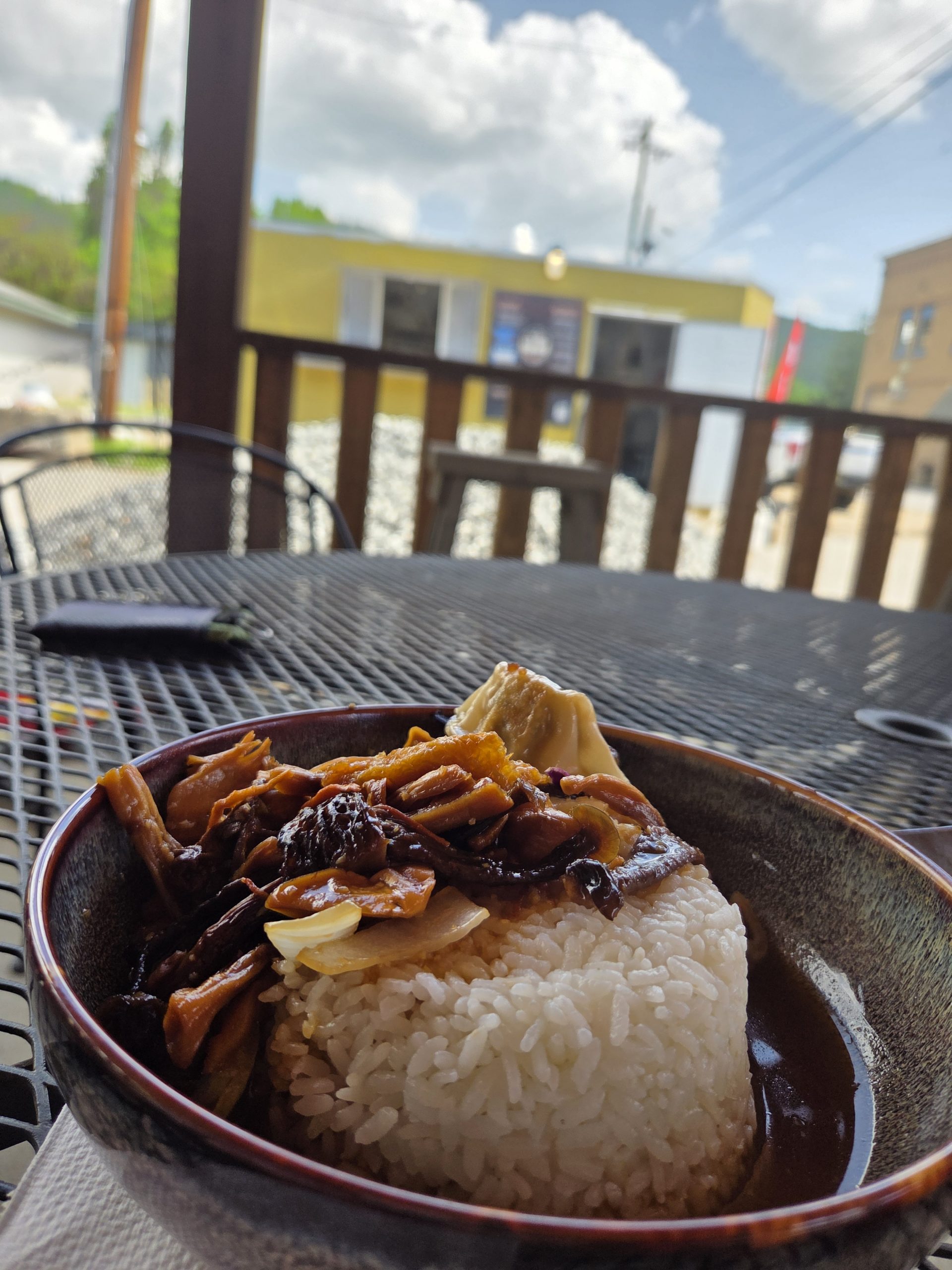
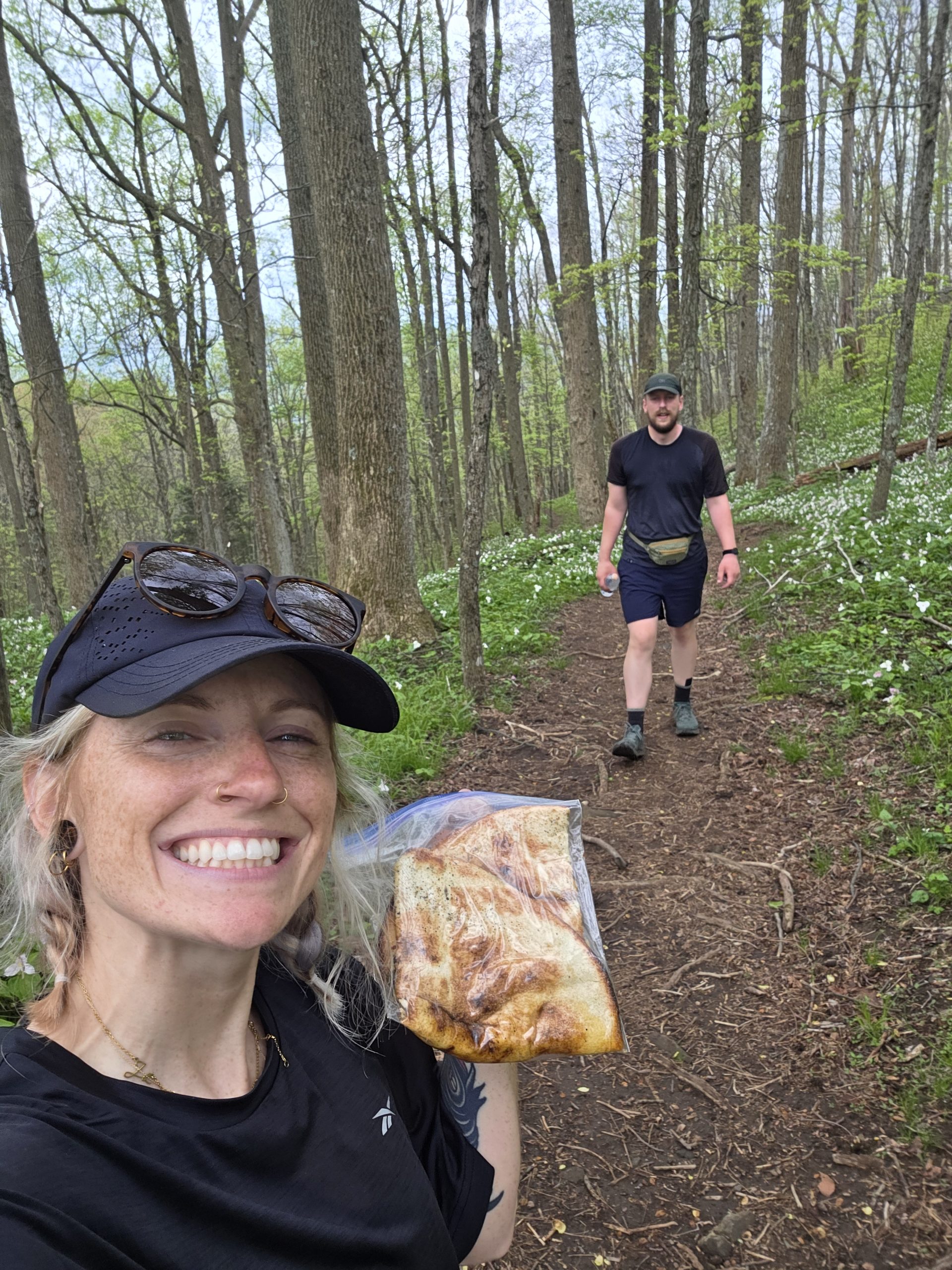
I was so excited that Vinyl Pies was able to reopen AND had vegan options! I gobbled half my pizza down and saved the rest for tomorrow!
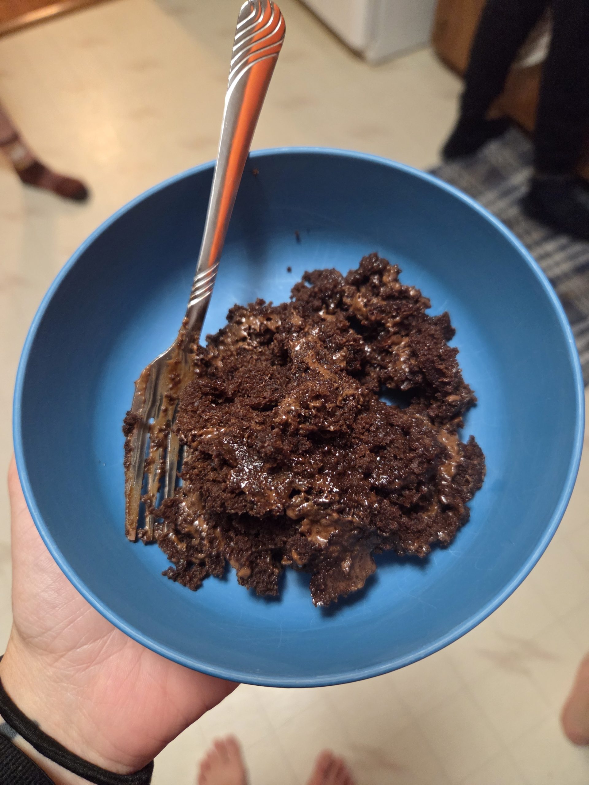
Back at the hostel, Stitch, who had been talking about eating an entire chocolate cake for days, made an entire chocolate cake. It wasn’t perfect but to all the hikers he graciously shared with, it was better than perfect!
I’m so thankful for my time in Hot Springs, NC and for this community welcoming hikers while they continue to rebuild. The businesses and community are recovering more and more each day and are ready for folks to visit and spend some money! If you’re able and interested check out https://rebuildhotsprings.org/donate/ to donate to their rebuilding efforts.
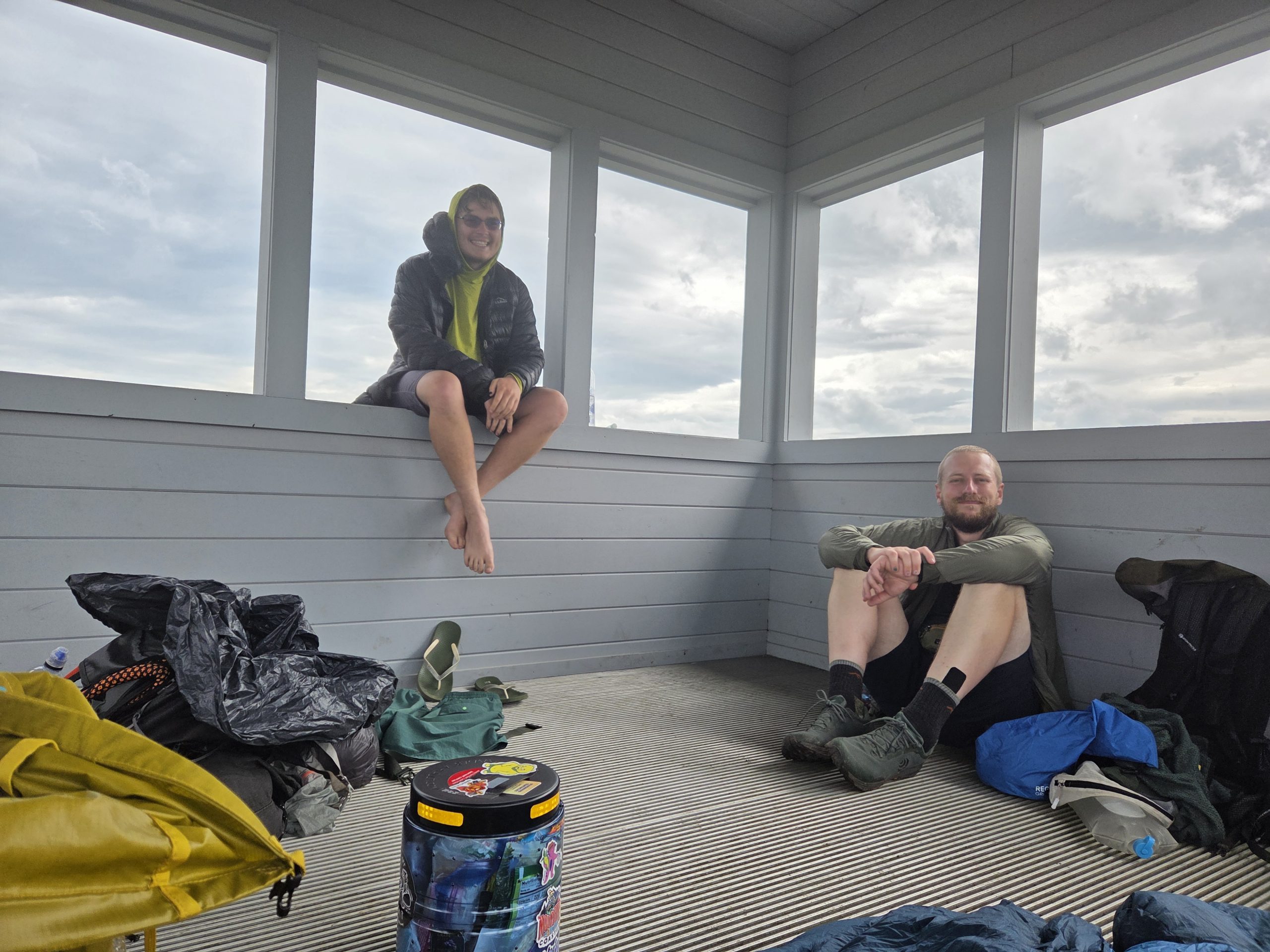
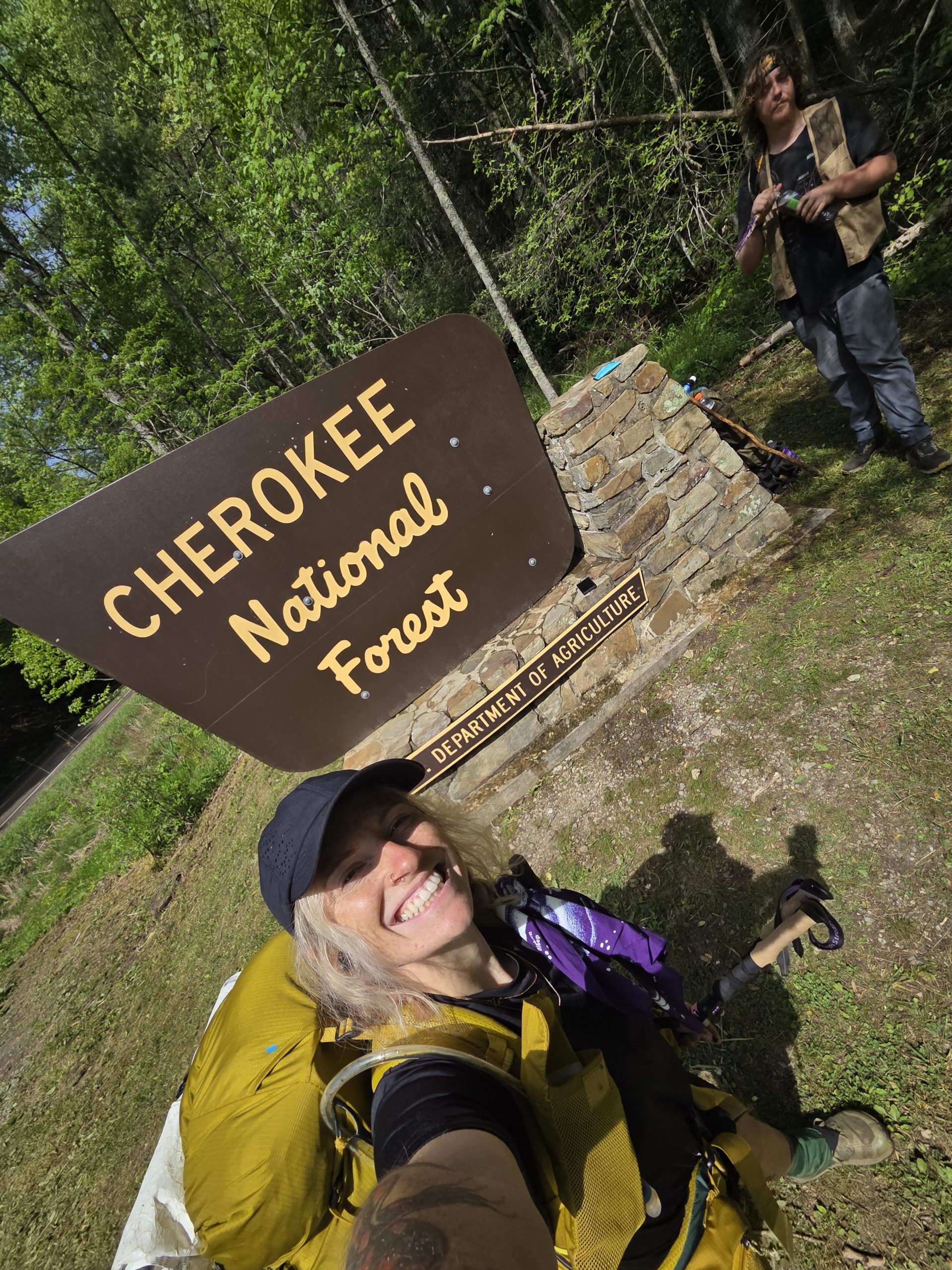
Day 29 – Appalachian Trail-er (275) to Rich Mountain Fire Tower (283.5)
In the morning, we reluctantly packed up and said goodbye to the comfortable and welcoming Appalachian Trail-er.
We did a little last minute mailing, still editing gear like camp shoes and base layers. Then we all hiked out of Hot Springs.
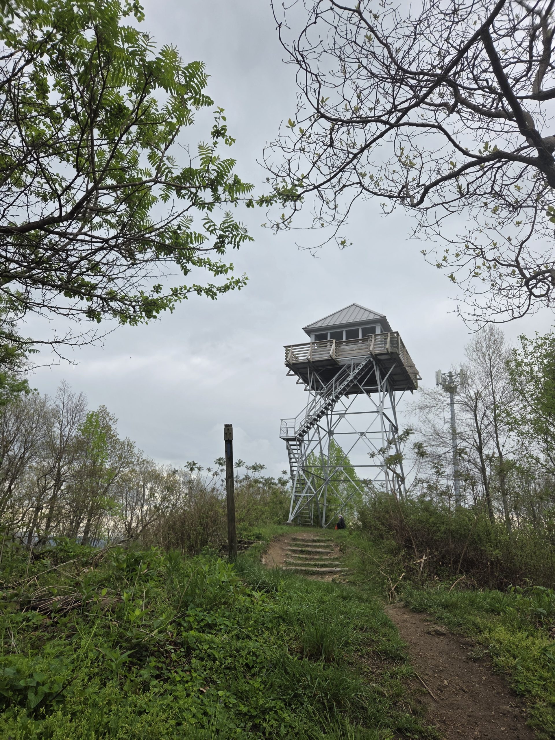
I’m a sucker for a fire tower so I dropped my pack, pulled out my leftover pizza, and walked up to Rich Mountain Fire Tower for a snack.
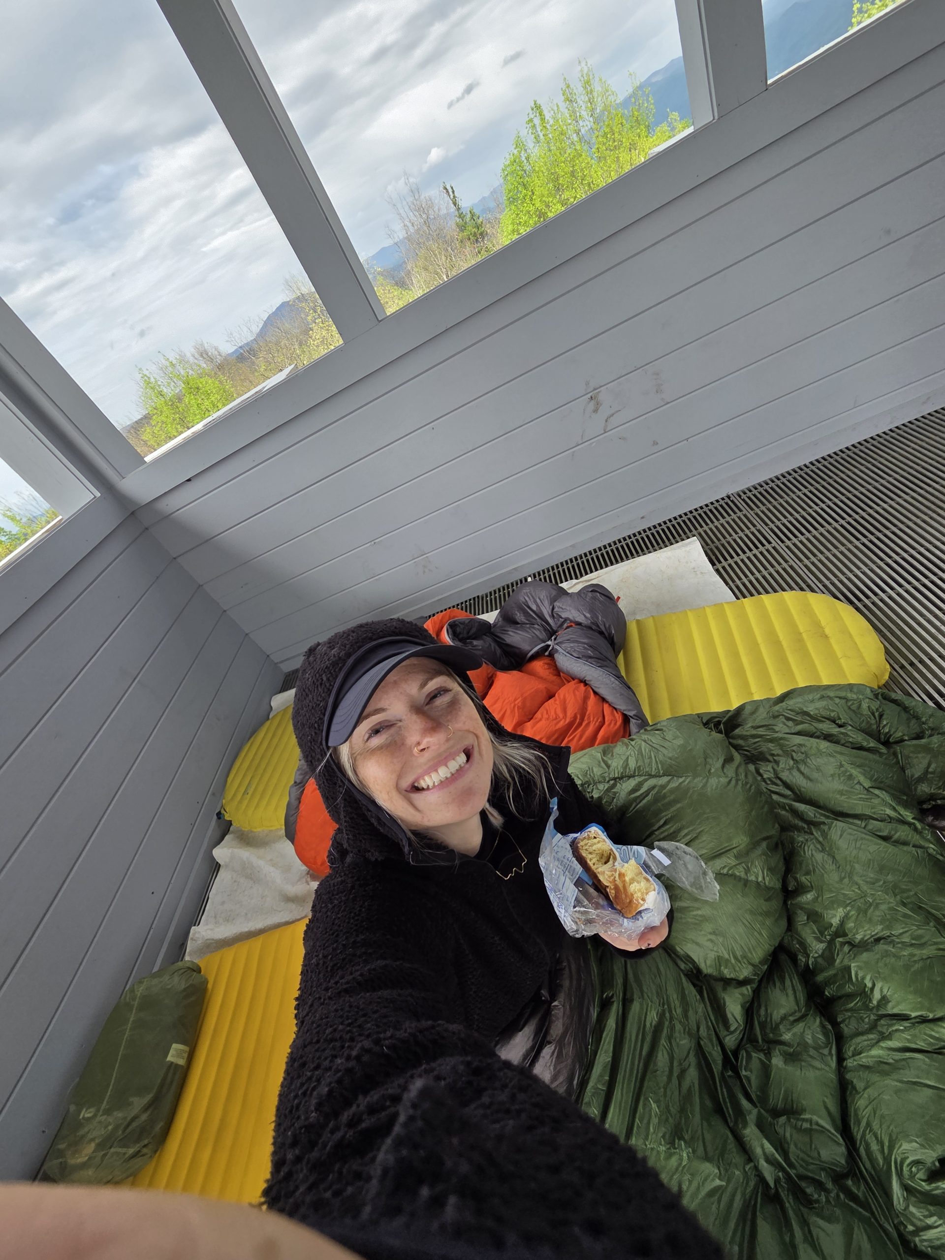
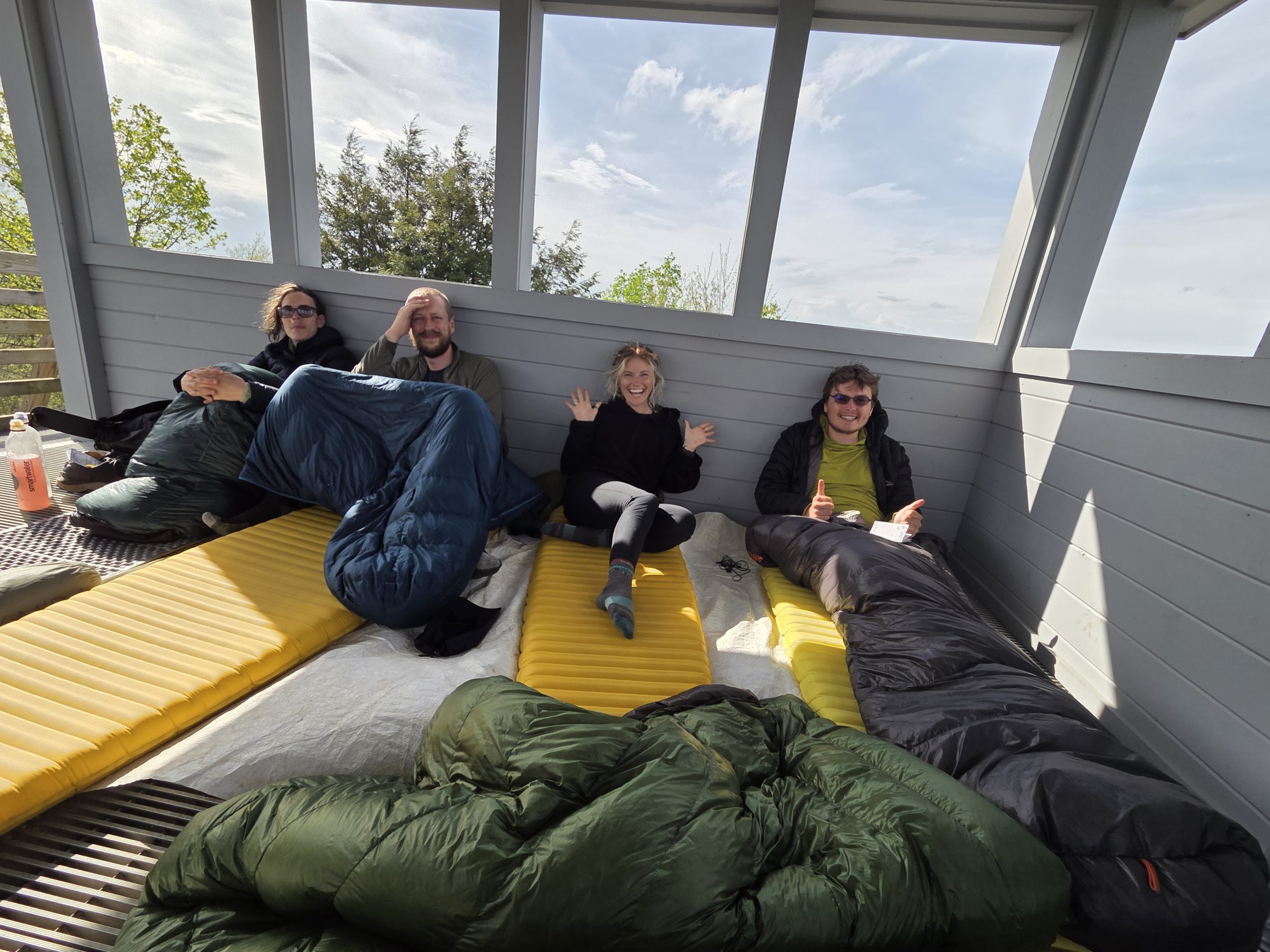
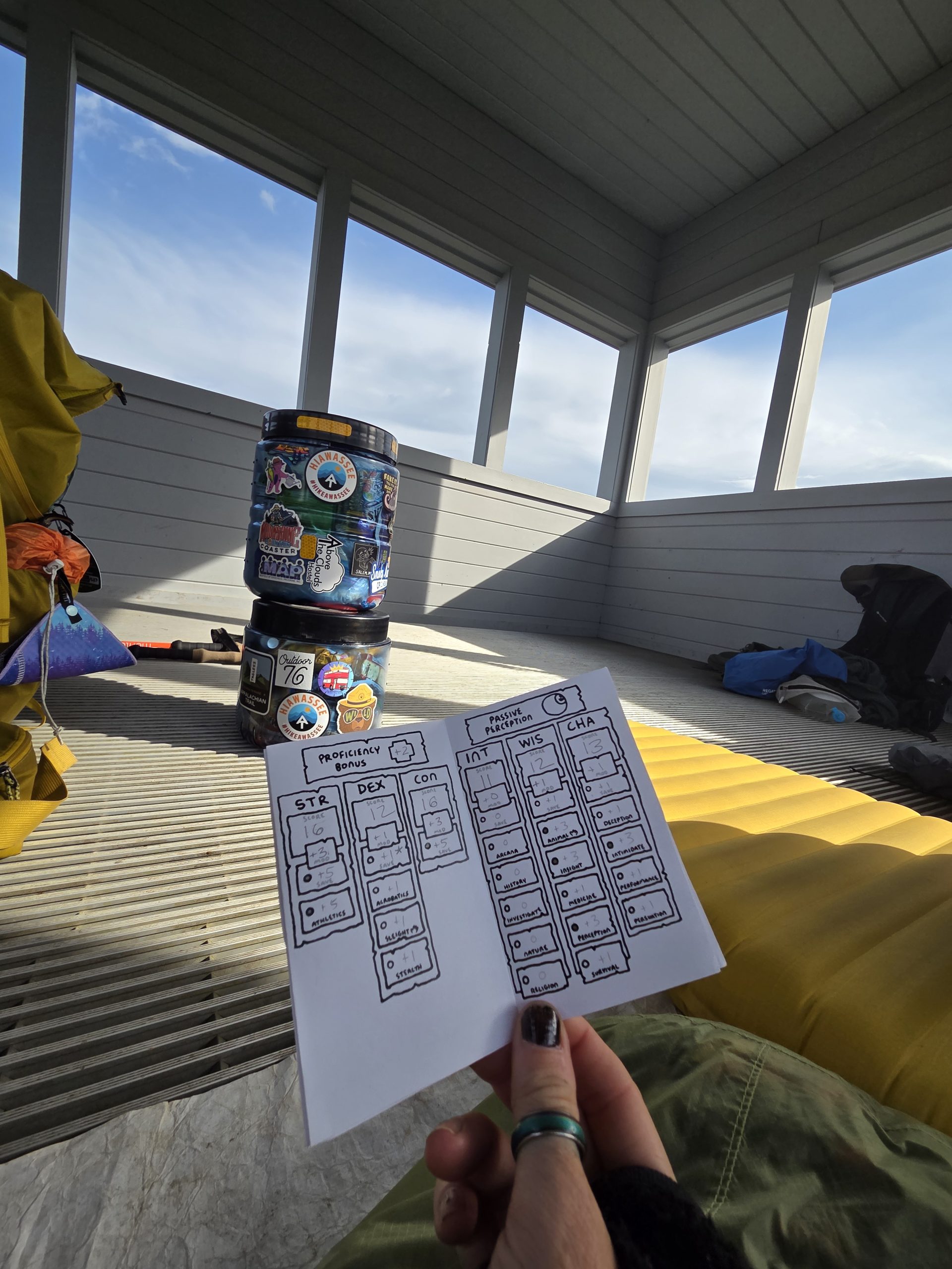
Theoretically, it was the perfect place to cowboy camp (usually this means to camp under the stars without your tent but this place had a roof so not quite the same). I’m not sure if sleeping there is allowed so we only theoretically grabbed all of our stuff and excited set up.
Theoretically, we played our first round of DnD after dinner and, theoretically, settled in, discussing the possibilities of a bear climbing all the stairs of the tower.
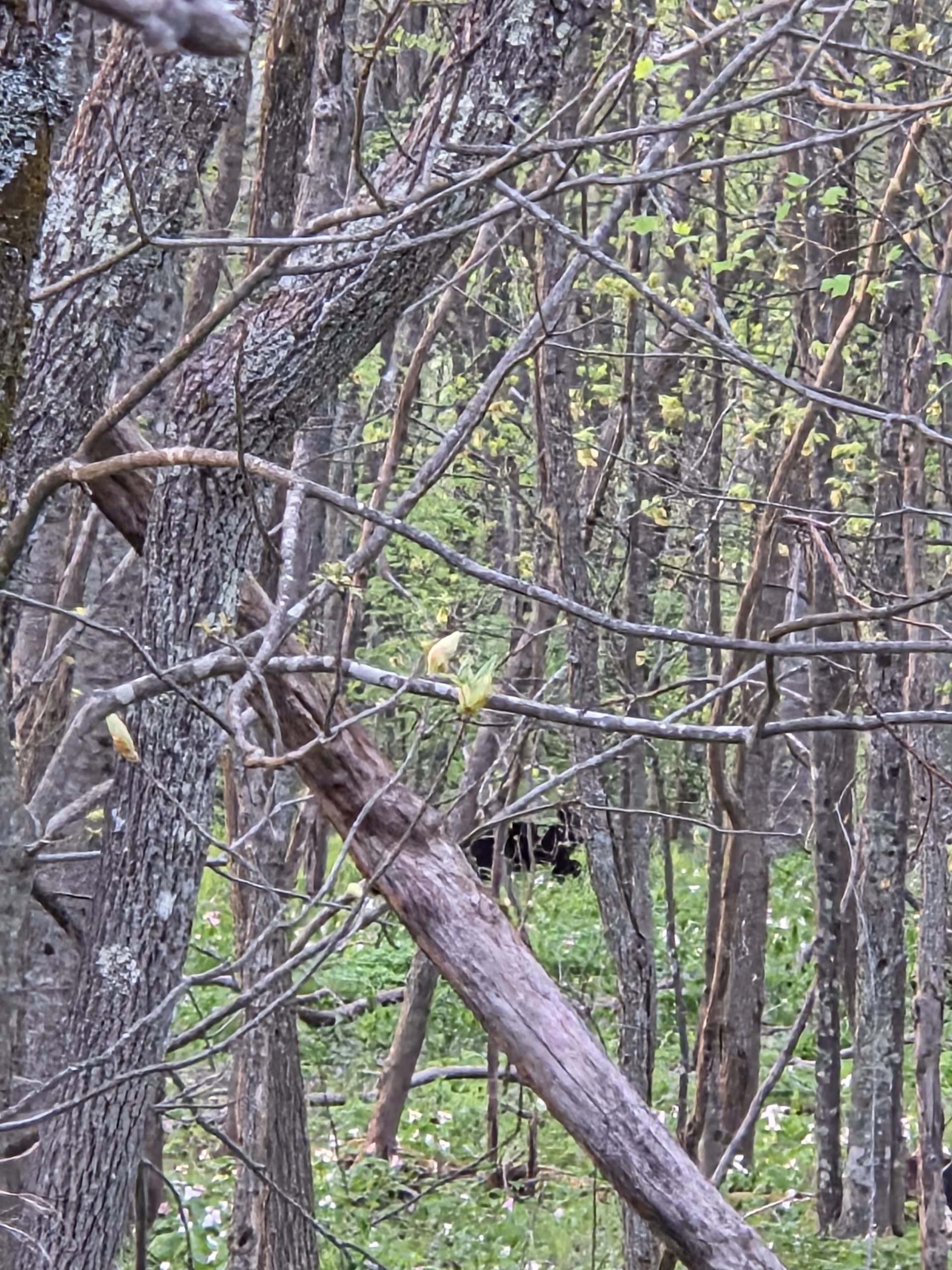
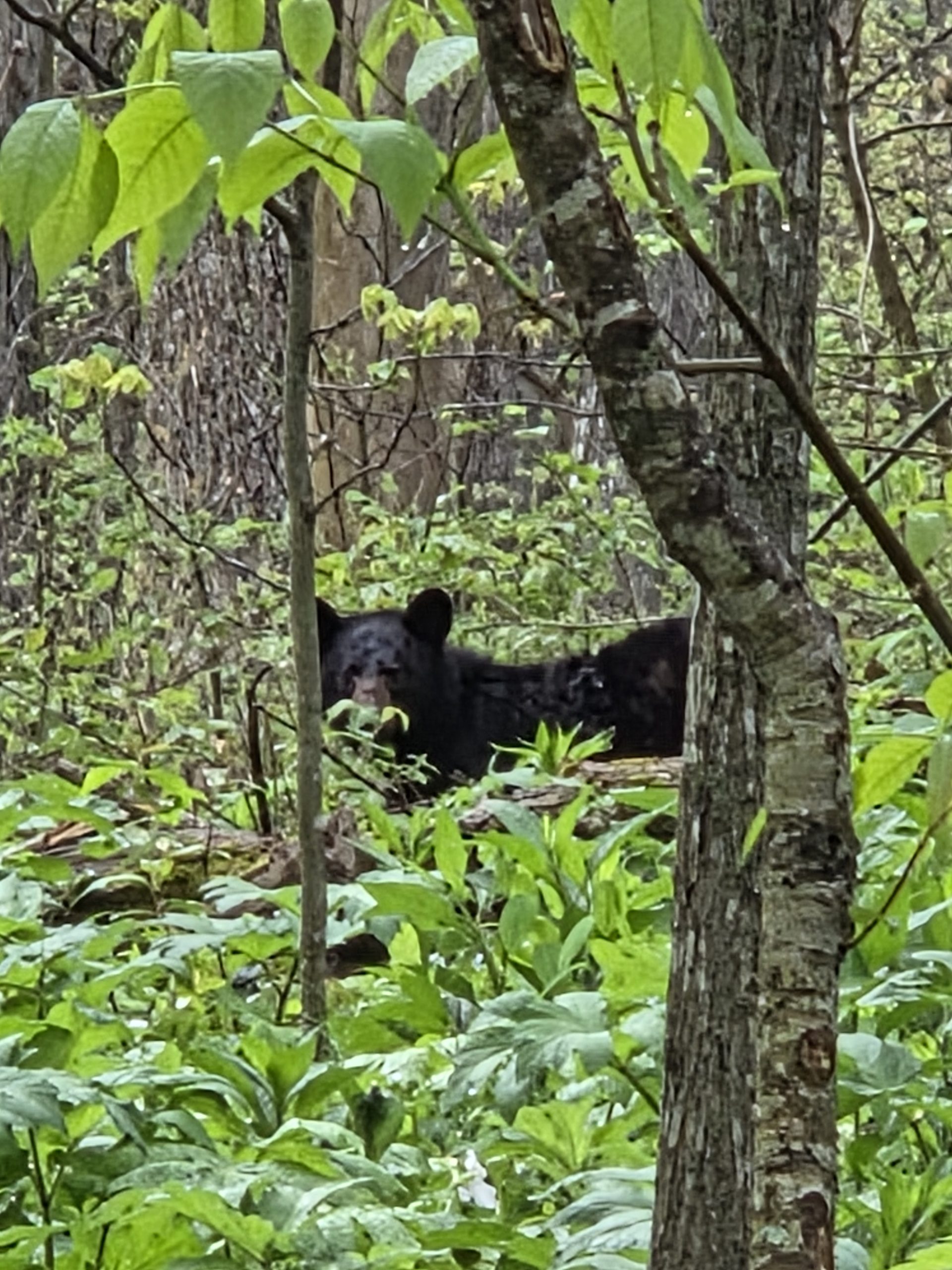
Shockingly, Chef spotted the first bear of our hike that night just through the woods around the tower! Both nervous and excited, we imagined out loud what we would all do if the bear did climb the tower we theoretically would be sleeping in.
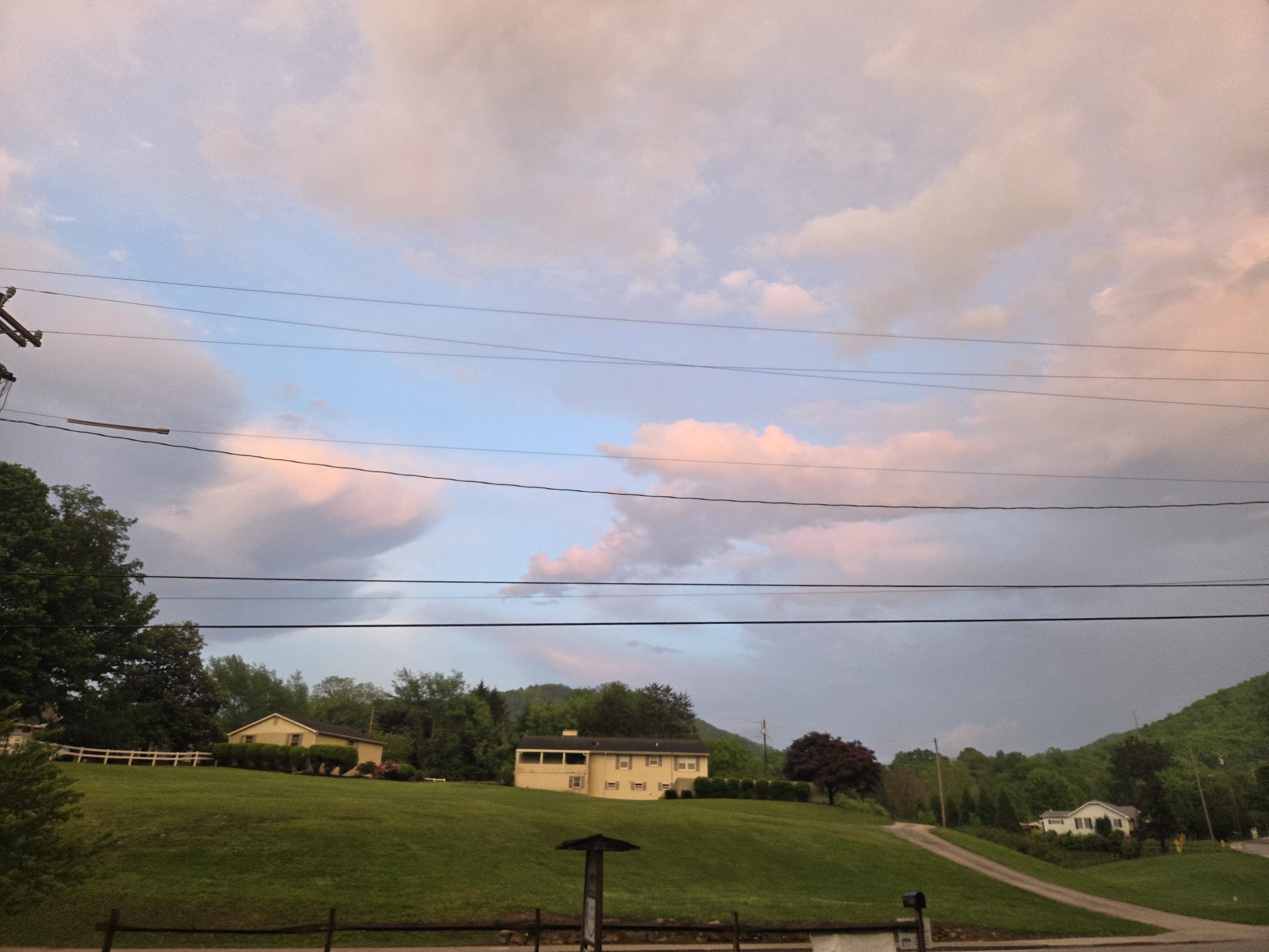
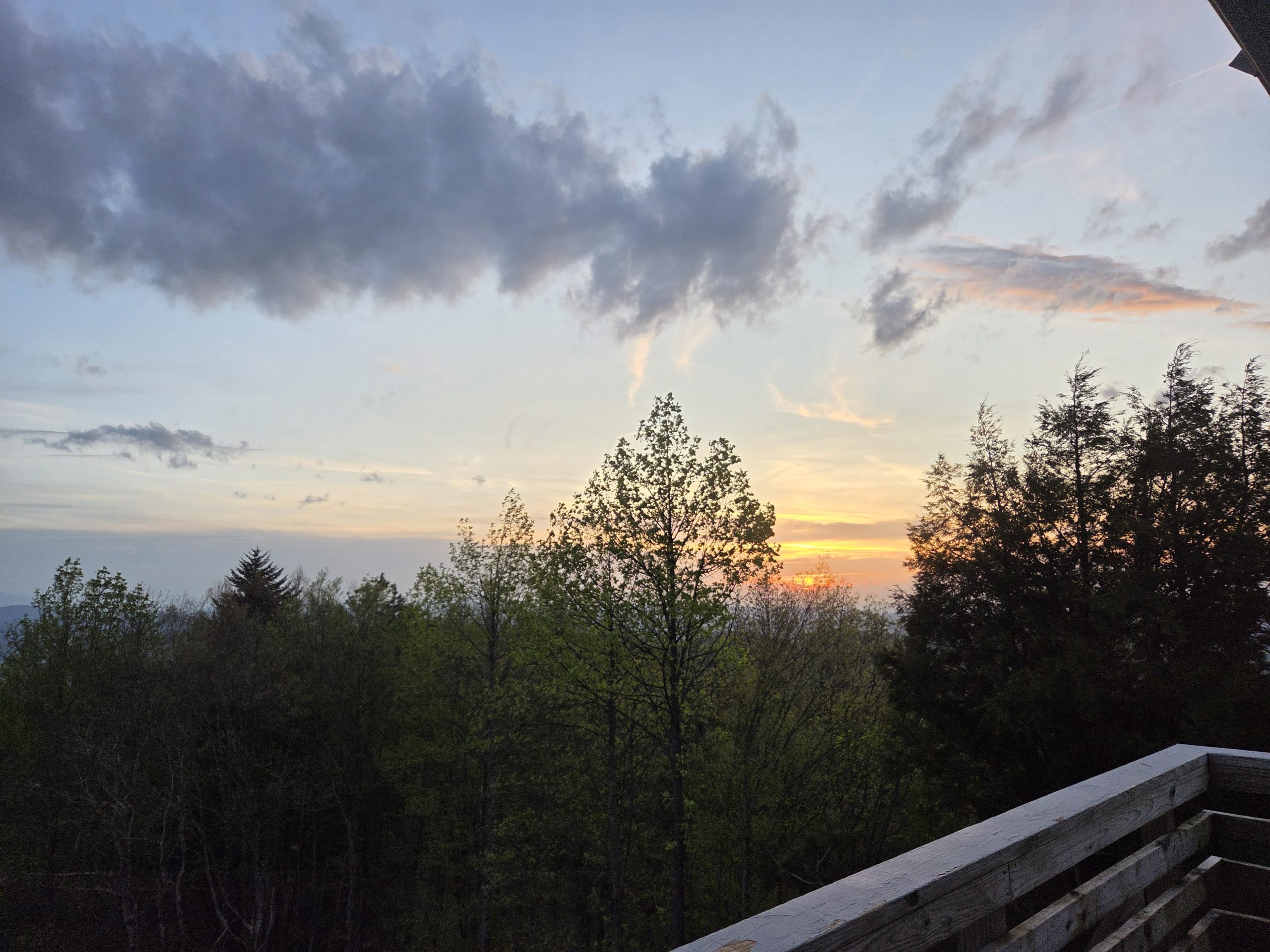
We caught sunset and bundled up.
Day 30 – Rich Mountain Fire Tower (283.5) to Jerry’s Cabin Shelter (302.1)
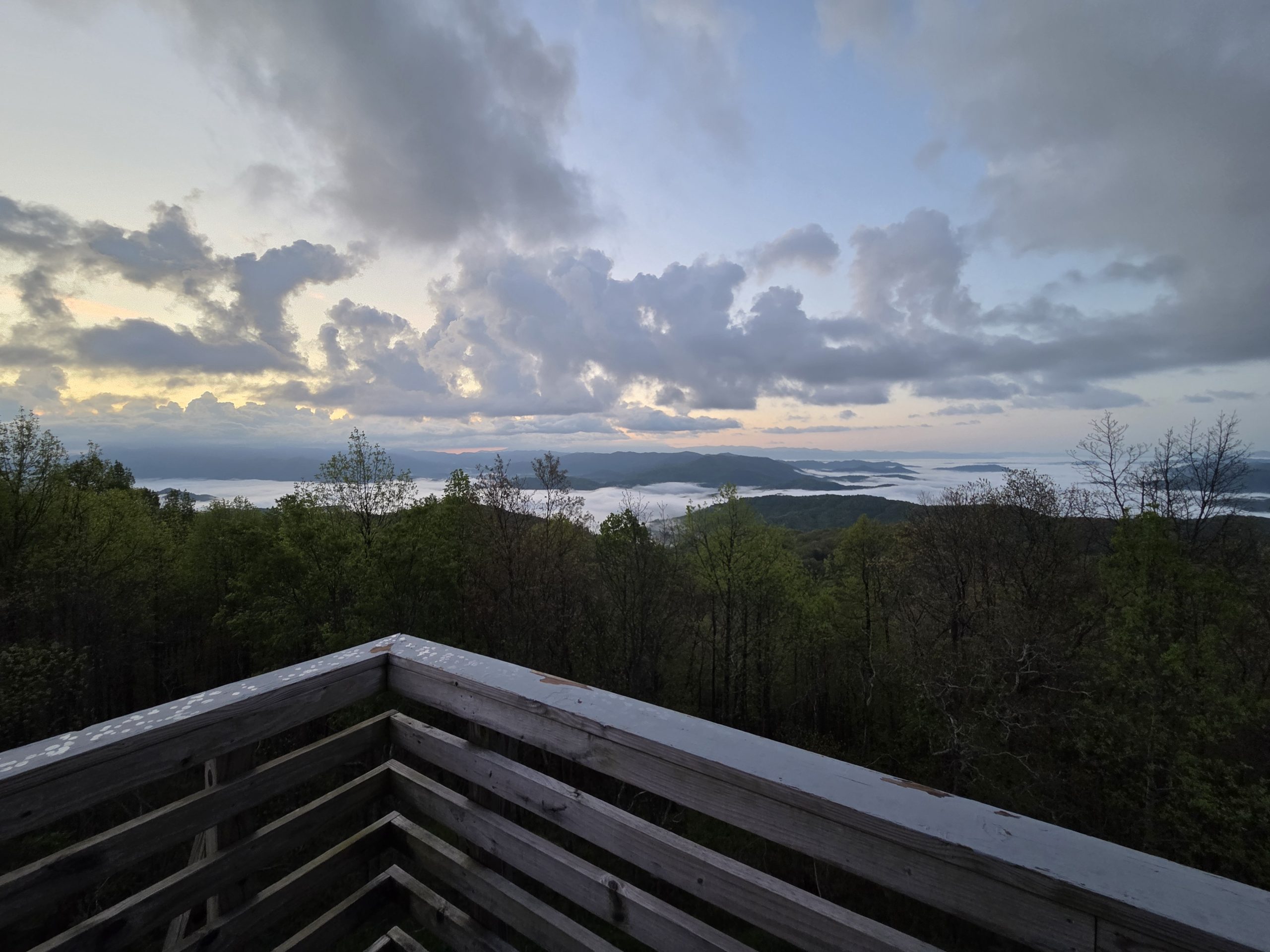
The sunrise was absolutely beautiful from the tower we theoretically slept in! I soaked it up for a while, admiring the surreal setting I get to live in.
Once we were all packed up and walking, I was thinking to myself how loud we are when we hike together. I was sure we’d never see another bear like this. Seconds later, I turned and saw a Momma bear and her cub through the woods to our right! She was far enough away that we felt safe and she knew we were there, watching to make sure we would simply keep walking and not bother her or her baby.
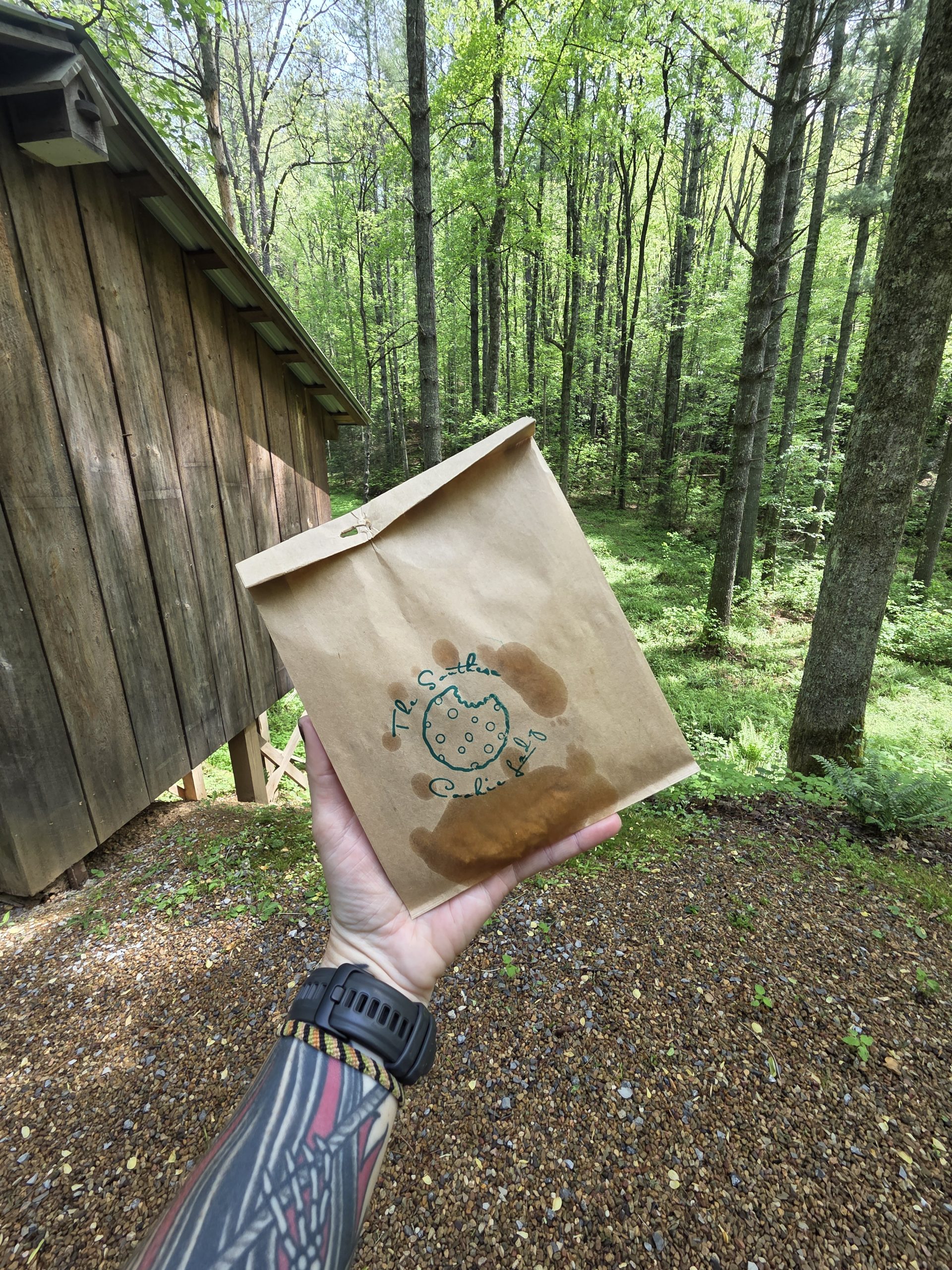
Full of excitement from the theoretical firetower sleepover and seeing bears, we all floated along the trail. To make the day even better, we were approaching the Southern Cookie Lady’s house!
Southern Cookie Lady is a wonderful woman who lives just off the trail. She bakes cookies for hikers – first one free! When we arrived she was also raising money for the Hot Springs, NC library. For a donation you could also get fresh peach cobbler with ice cream!
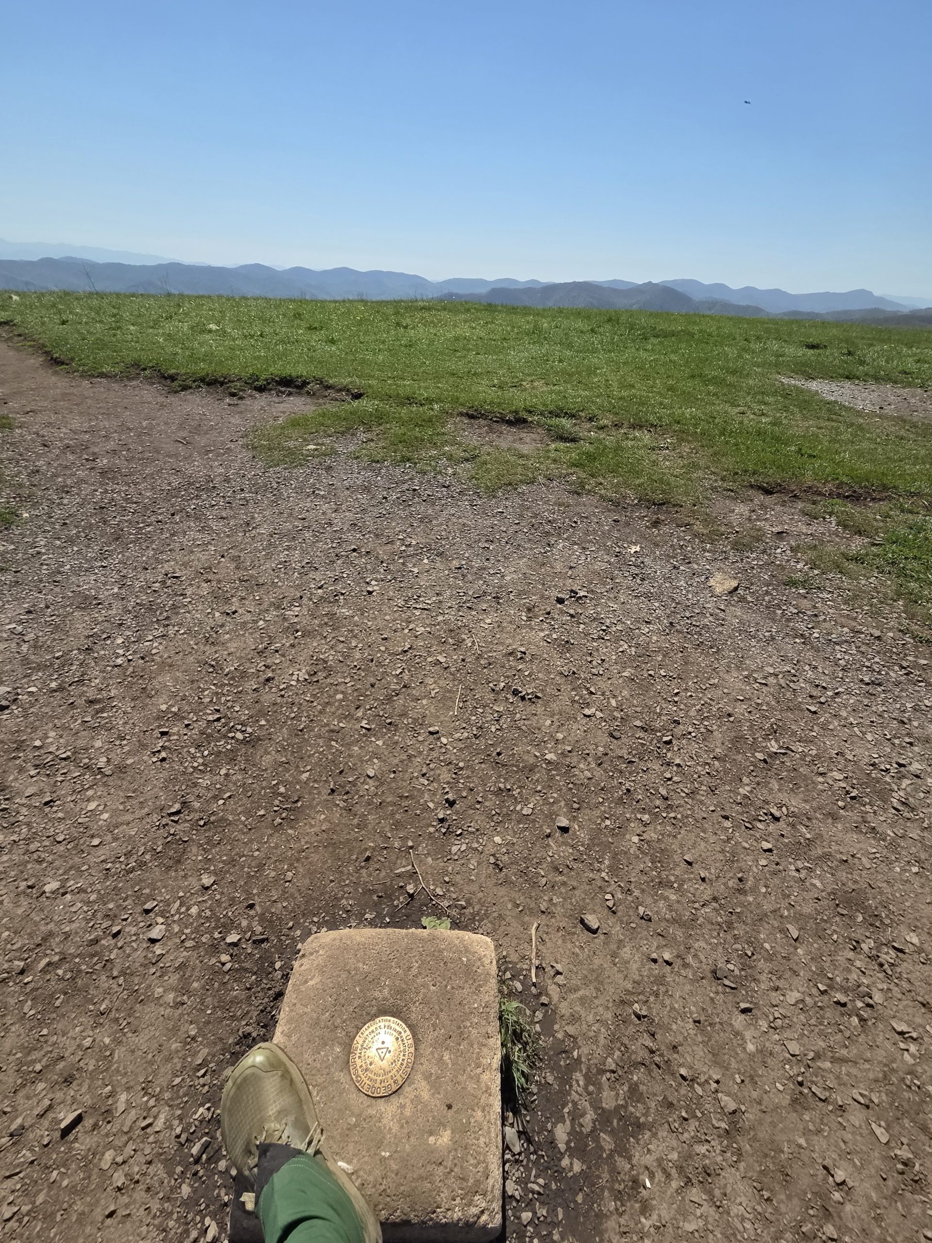
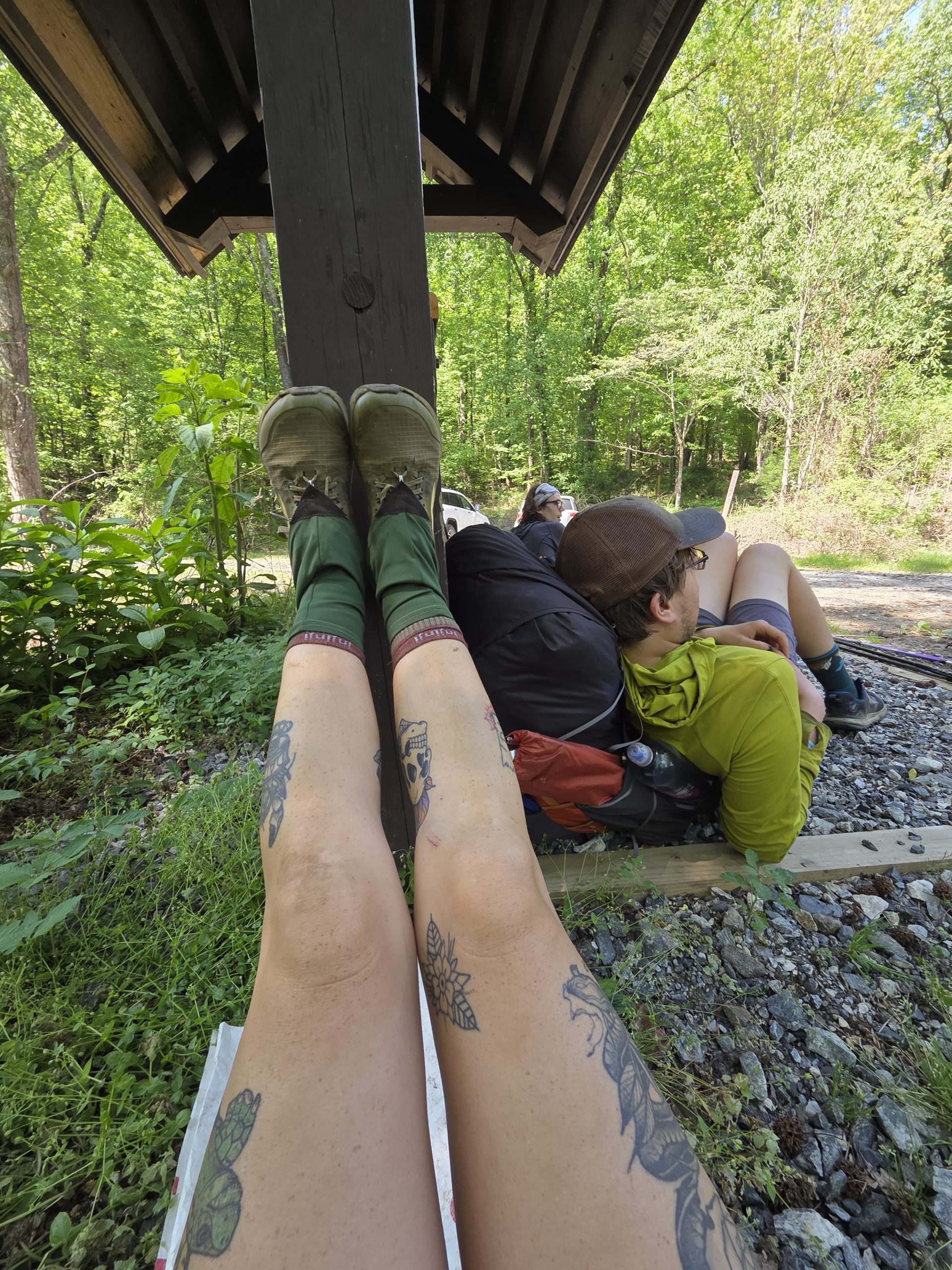
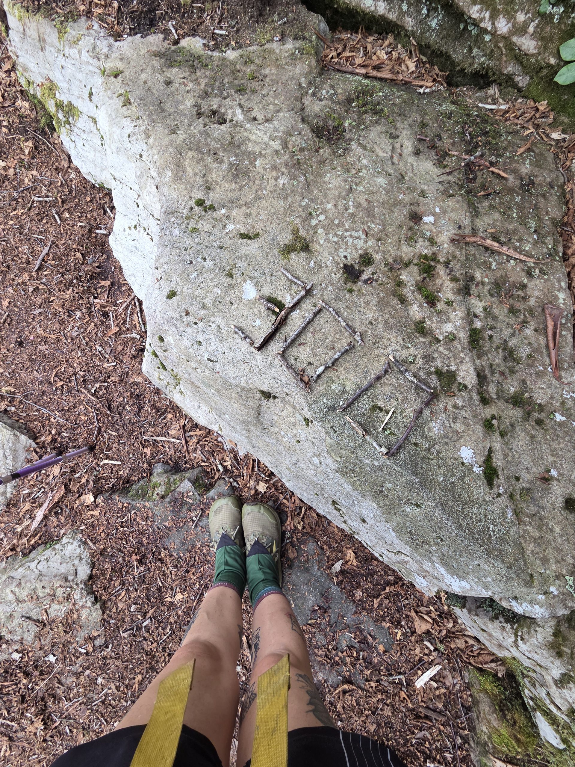
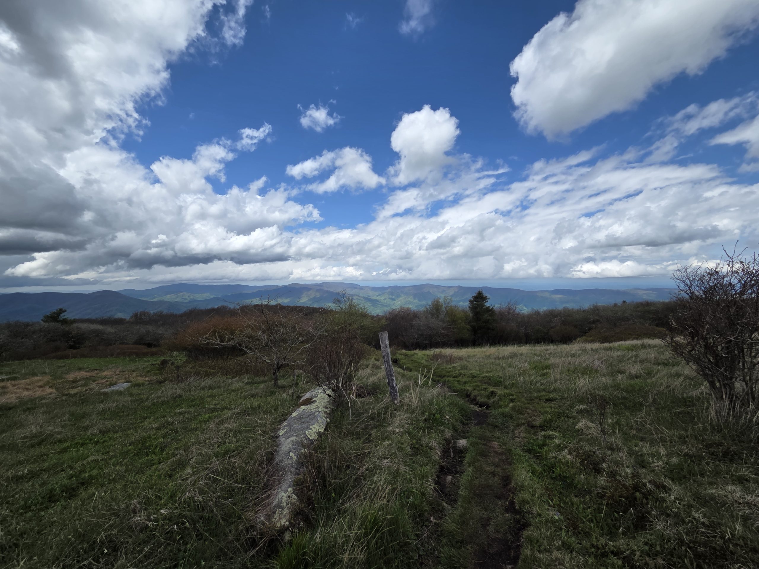
The rest of the day included a break at a beautiful view and passing the 300 mile marker! It’s so satisfying and reassuring to see the milestones marked on the trail.
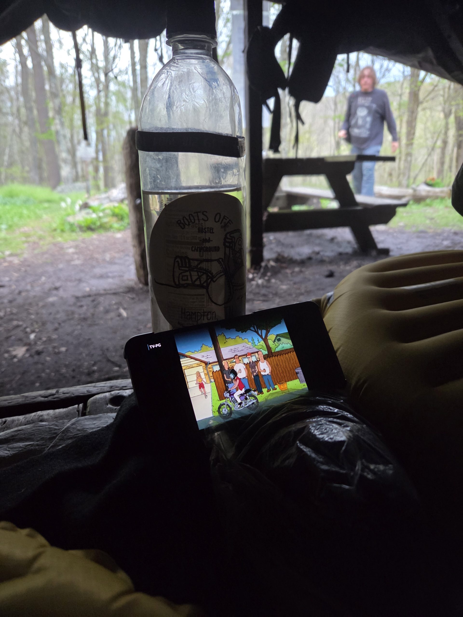
We all stopped at Jerry’s Cabin Shelter for the night, had dinner, watched some King of the Hill, and went to sleep for the night.
Day 31 – Jerry’s Cabin Shelter (302.1) to Hogback Ridge Shelter (317.6)
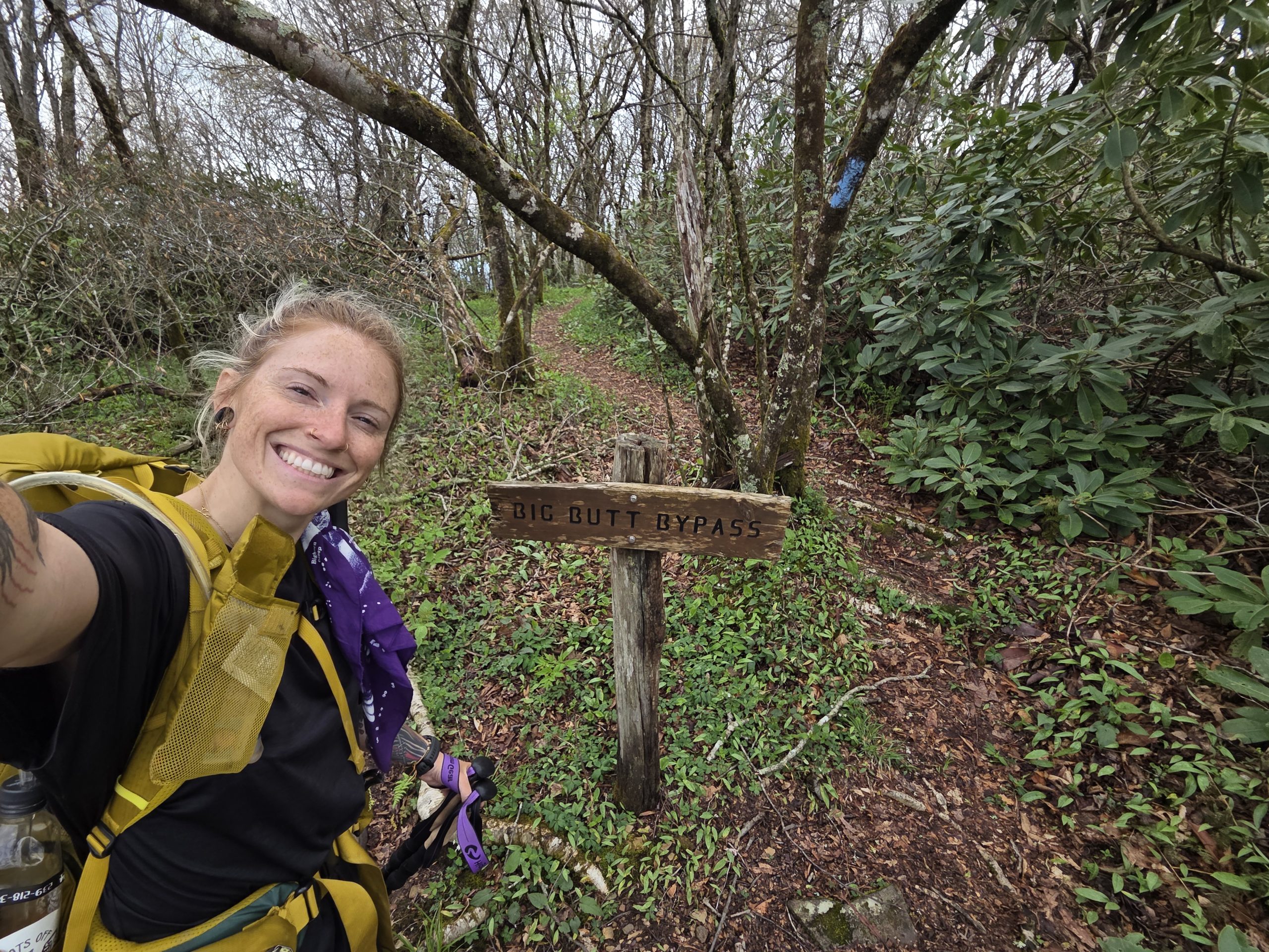
Day 31 started with heading up Big Butt! I snapped my photo with the Big Butt Bypass sign, seemingly a right of passage, and hiked on.
Maybe I was a little soft from my zero in town, or maybe rough days are just a part of a thru hike, but I was struggling a bit. And I wasn’t the only one.
Chef bent his trekking pole and was having issues with his water filter, Tagless had an uncomfortable run in with some bees, I cut my finger and was eaten alive by bugs…
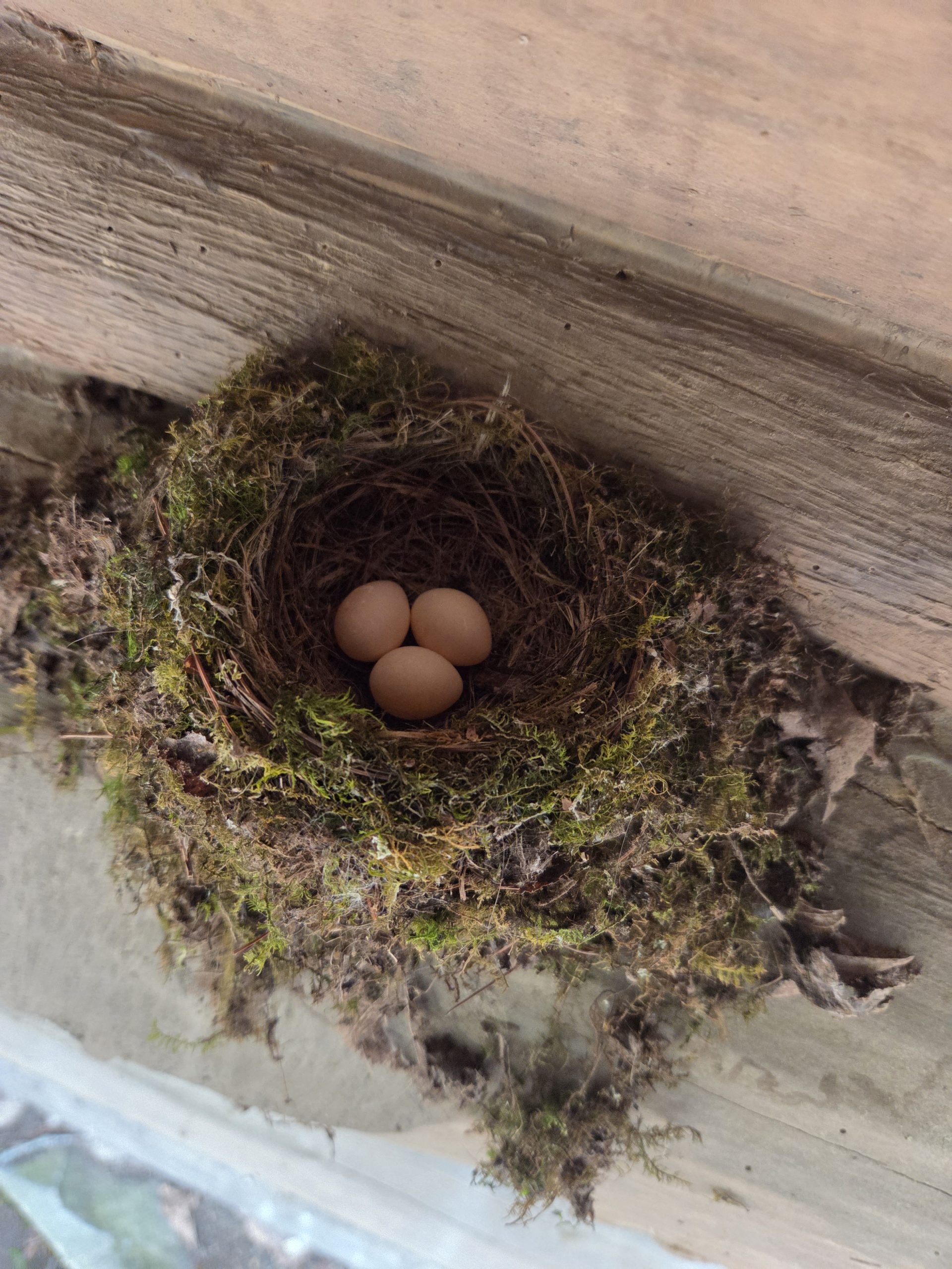
We all took a break at a shelter where I put my feet up and had a snack. A little joy came to the day when I saw the tiniest nest with the tiniest eggs on the back of the shelter.
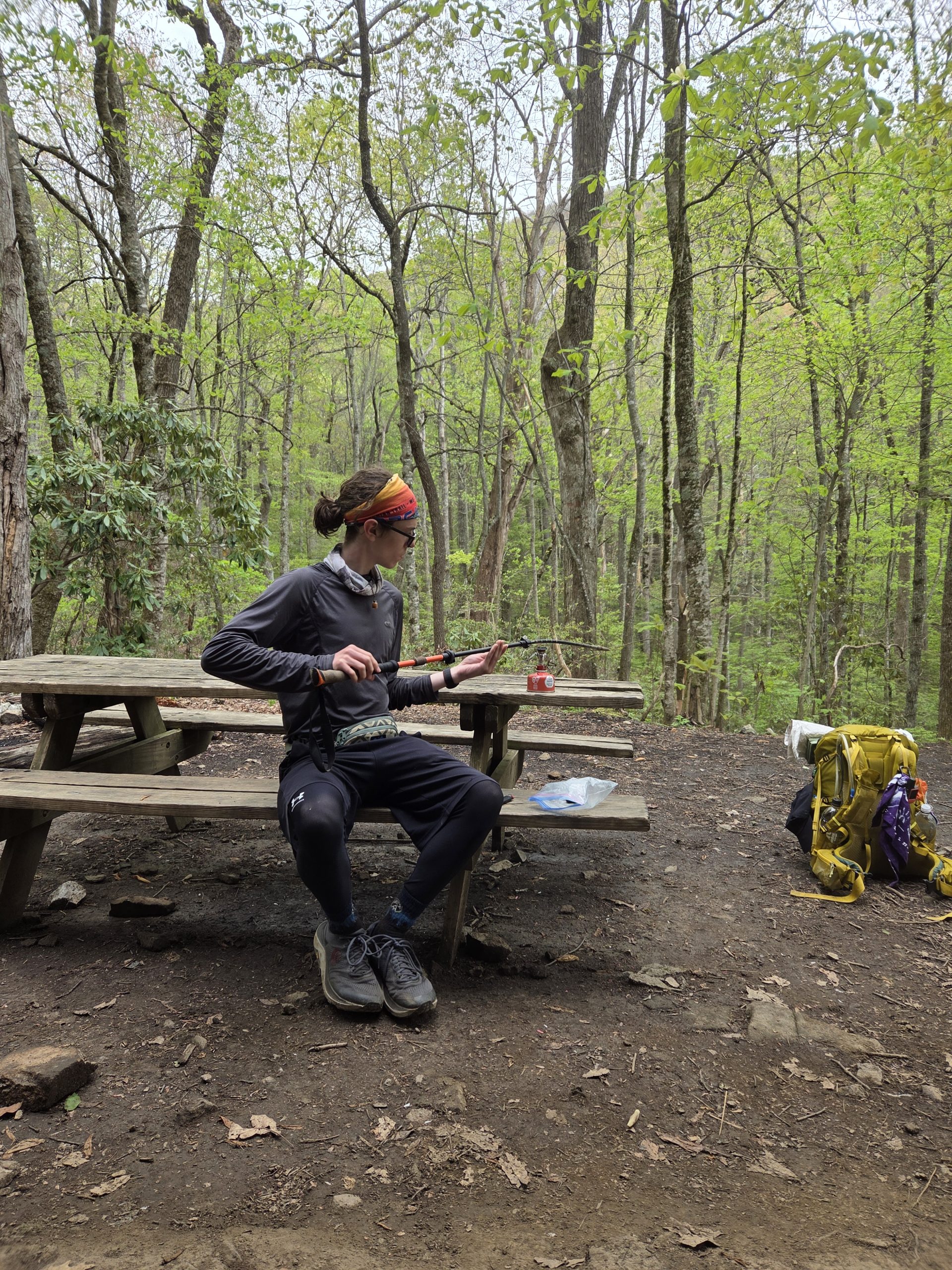
The very resourceful and handy Stitch warmed up Chef’s trekking pole on his stove and was able to bend it back to functioning.
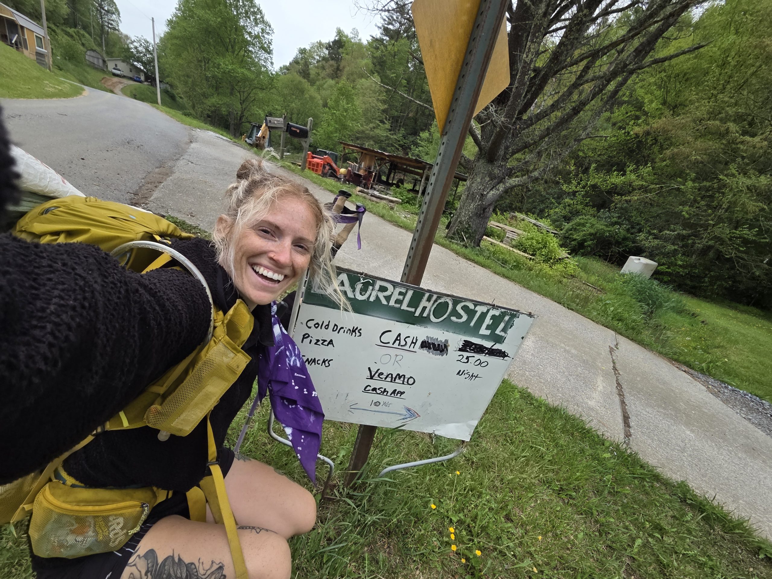
With all the downs of the day in mind, it was a no brainer to stop at Laurel’s Hostel. Cold drinks and snacks was exactly what we needed – even out of the unfinished shack covered in… interesting posters.
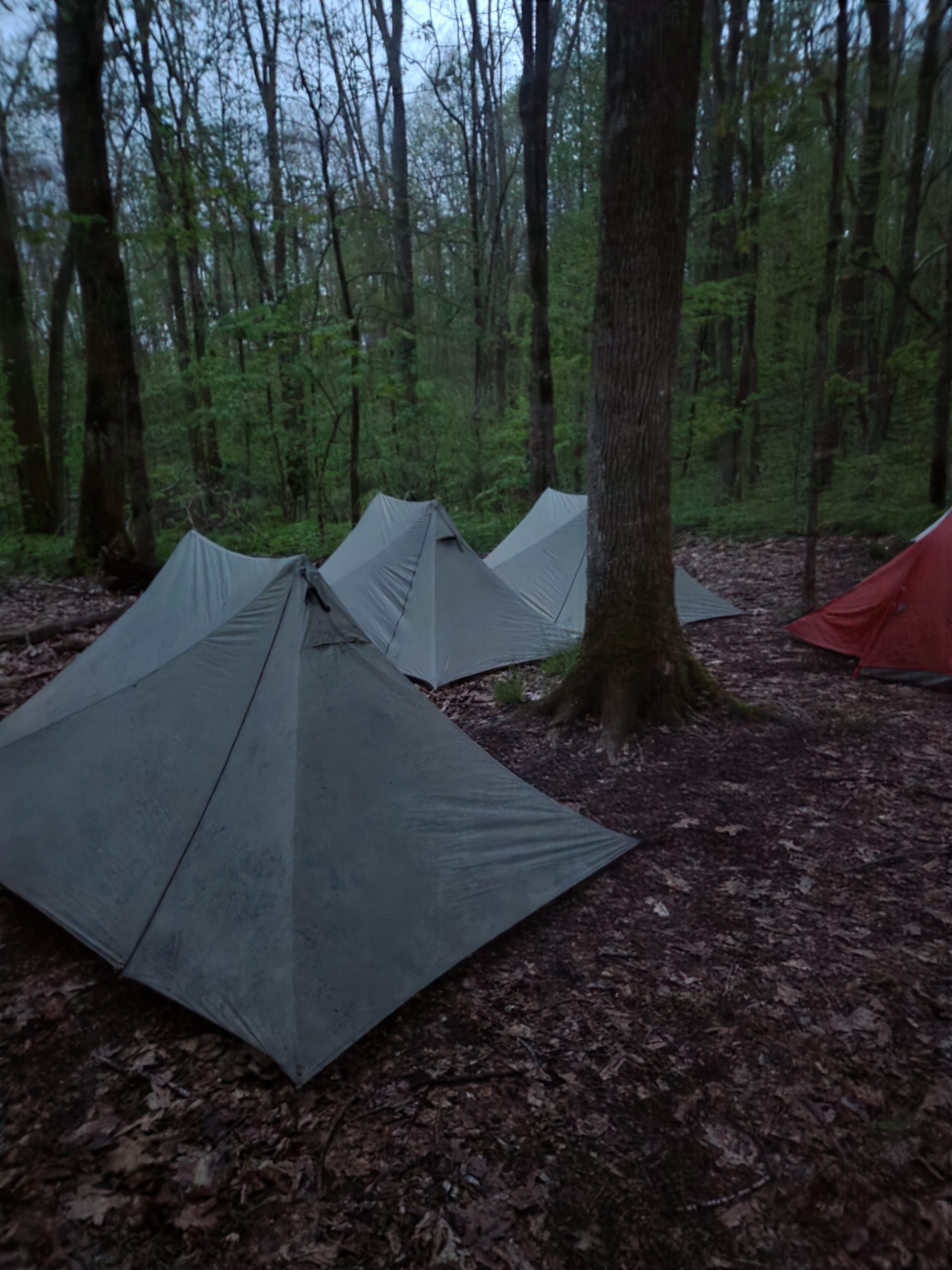
The last push was another struggle but we all made it and set up our tents next to the wonderful Yellow! The rain forecasted held off long enough for everyone to finish dinner and just as I zipped my tent, the raindrops started to fall.
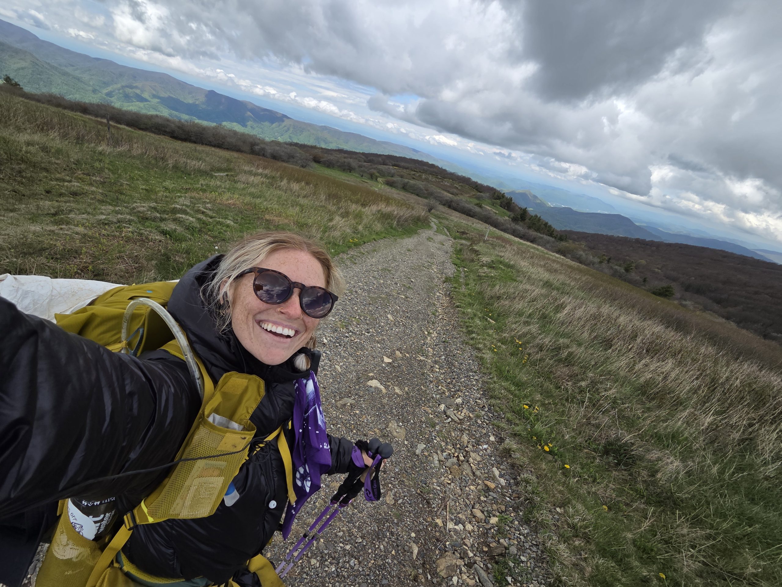
Day 32 – Hogback Ridge Shelter (317.6) to Whistling Gap Campsite (331.1)
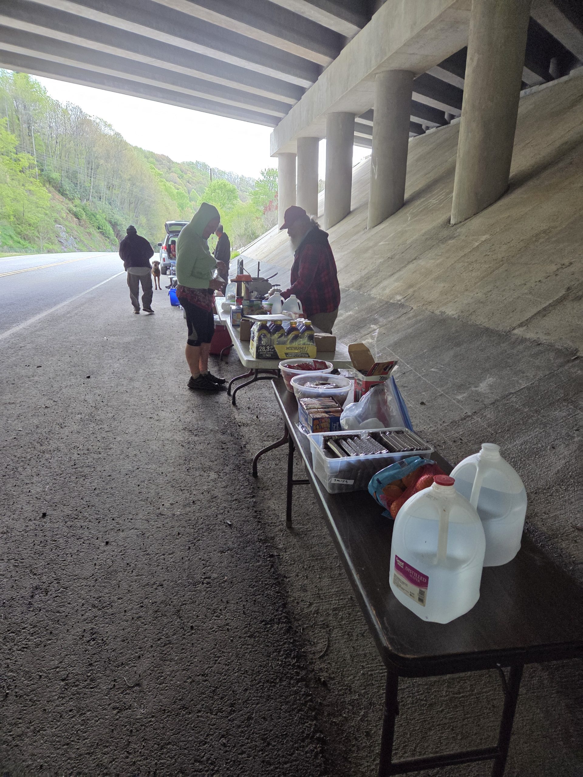
The next morning, after a tough day yesterday, started with a huge trail magic set up! Multiple amazing trail angels convened and had a plethora of cold drinks, warm food, fresh fruit, and yummy snacks.
I hiked on, hearing more trail magic was coming. I was so happy to spend the whole day bumping into Yellow as we leapfrogged on the trail. Yellow and I seem to constantly bump into eachother – at hotels, restaurants, campsites, on the trail – and it is always a joyous reunion!
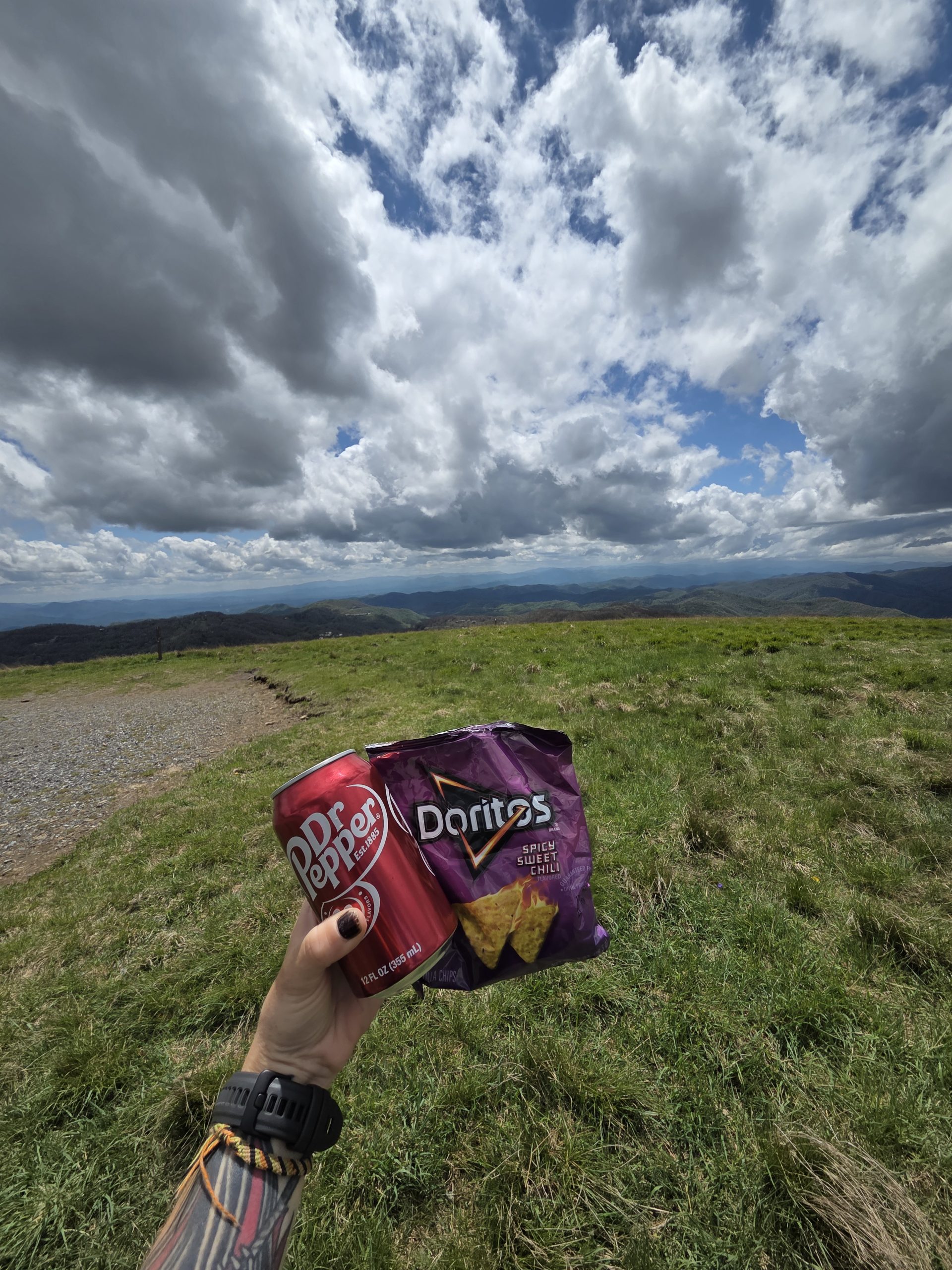
The rumors were true: there was more trail magic! A hiker I met at the Artisun coffee shop was there to meet her partner who was thru-hiking! She had all the vegan goodies!
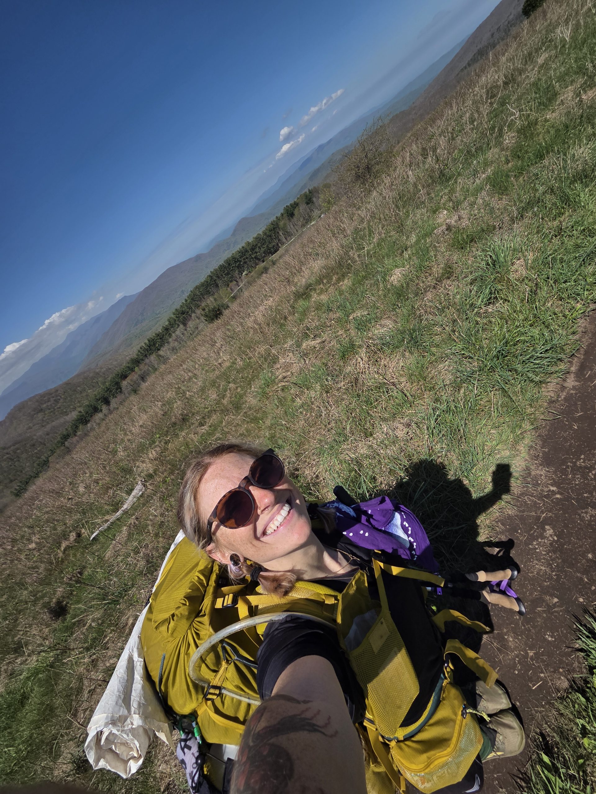
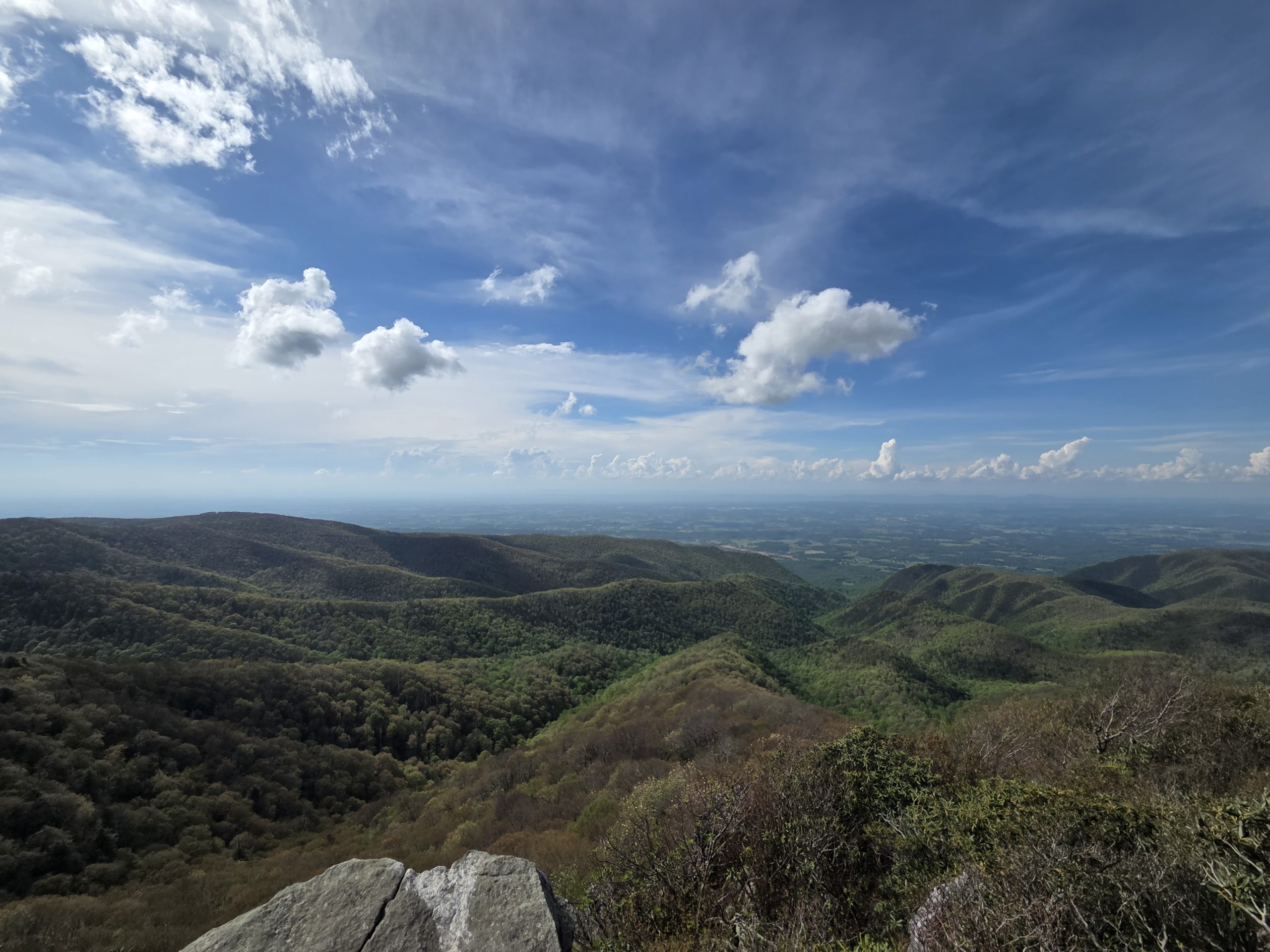
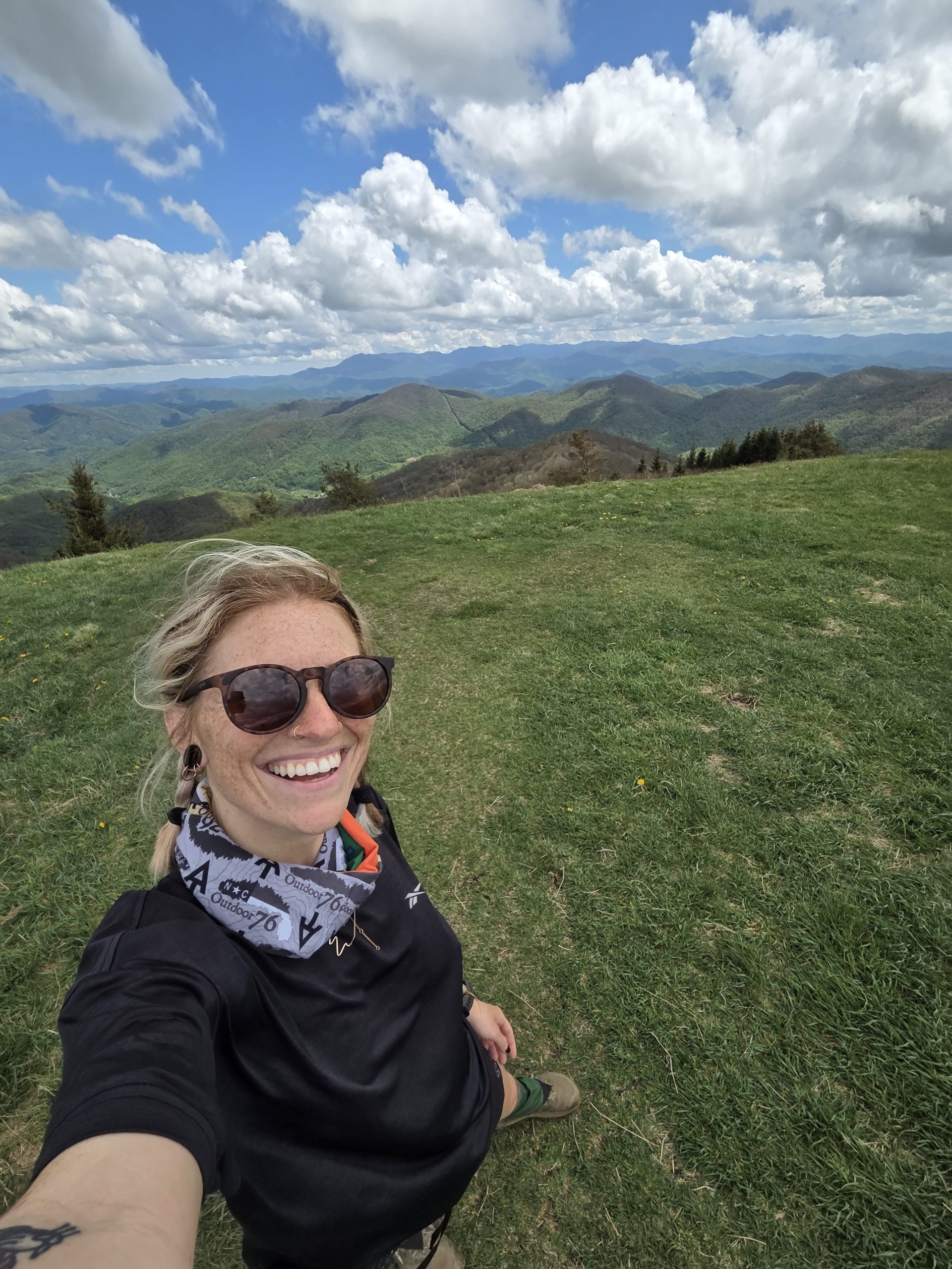
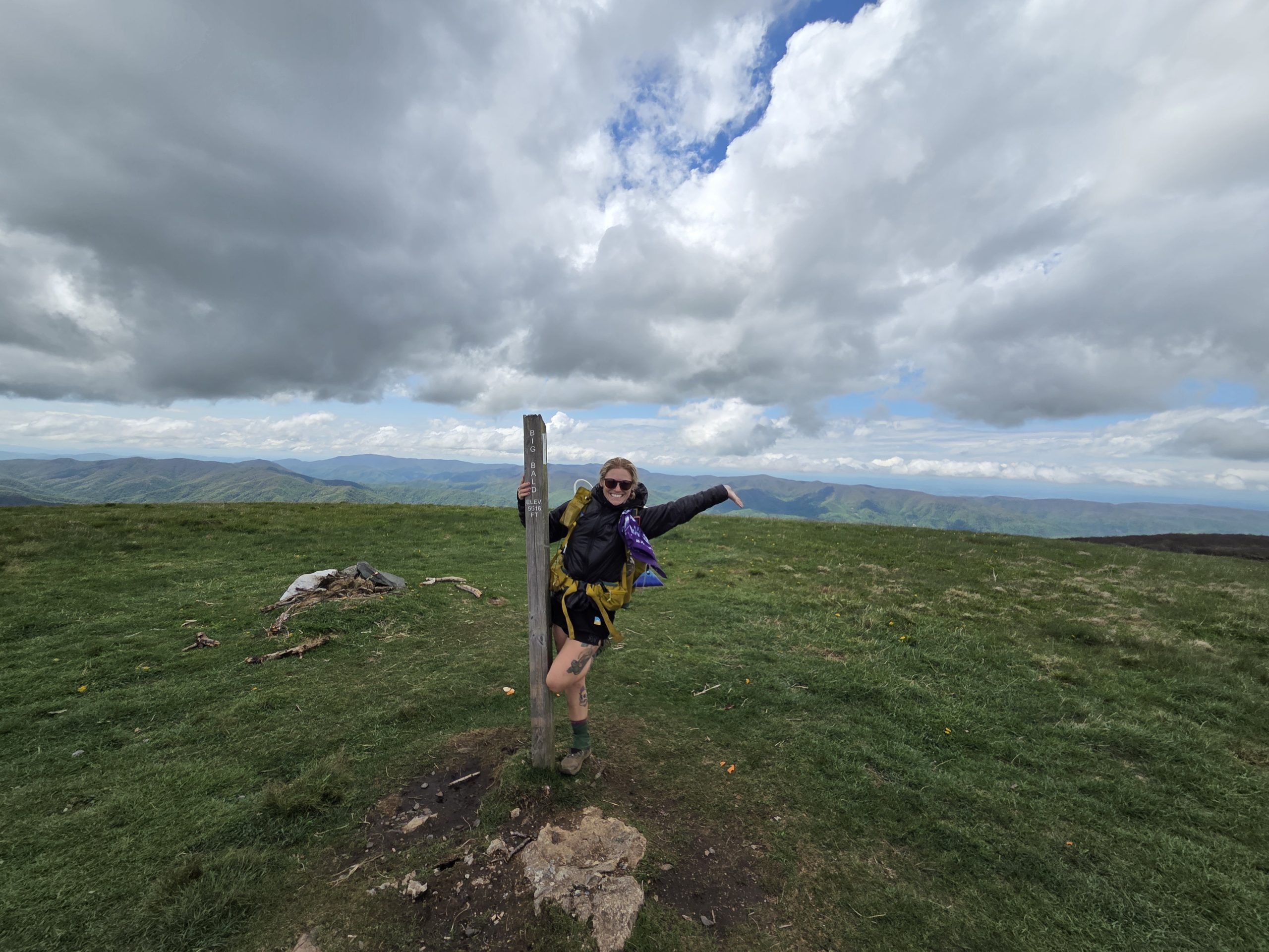
With left over that magic in my pack I headed towards Big Bald. As I climbed, the sky opened up more and more and I was overcome with emotions. The clouds were breathtaking and the higher I got more snd more mountains rose in the distance. I cried tears of joy again.
I couldn’t believe that I was living this life. On a Sunday afternoon, instead of worrying about my Monday responsibilities, or rotting in bed bingewatching some new show, I was here.
I, who dreamed this up for 10 years, who had no experience backpacking or even camping whatsoever, walked to this breathtaking place carrying everything I need on my back.
They say, “the trail provides.” It’s true. Sometimes the trail means the people around the trail, like the trail angels that fed us today. Sometimes the trail is the people on it, like Yellow who always greets me with a smile and a laugh. Sometimes, the trail is just this 1 foot wide length of land that opens up the world enough to make you realize how lucky you are and how hard you worked to simply enjoy it.
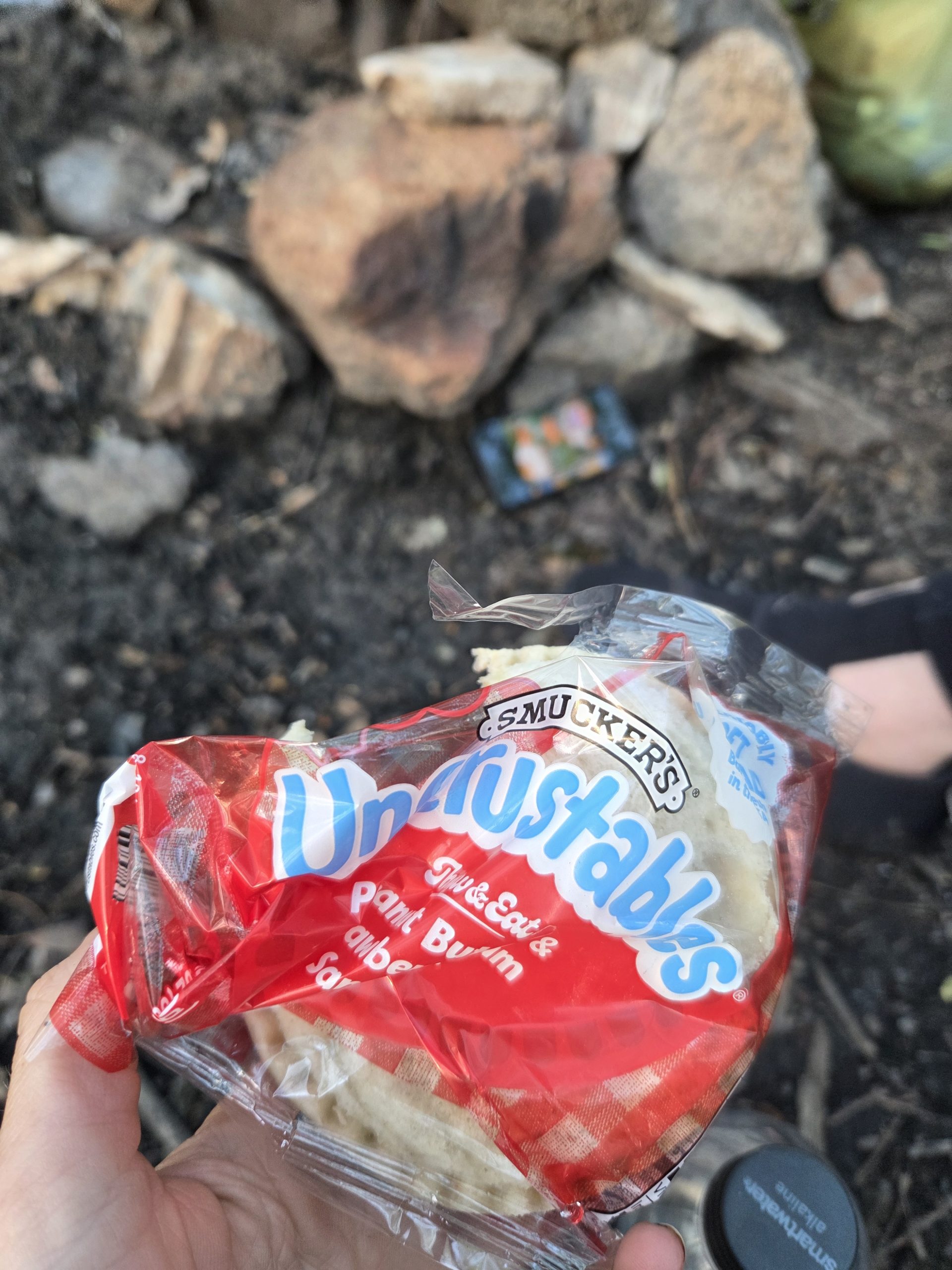
I made it to Whistling Gap that night, pulled out my trail magic Uncrustable for dessert, and continued to feel overwhelmed in the best way. Thank you, trail.
Day 33 – Whistling Gap (331.1) to Uncle Johnny’s Hostel (344.5)
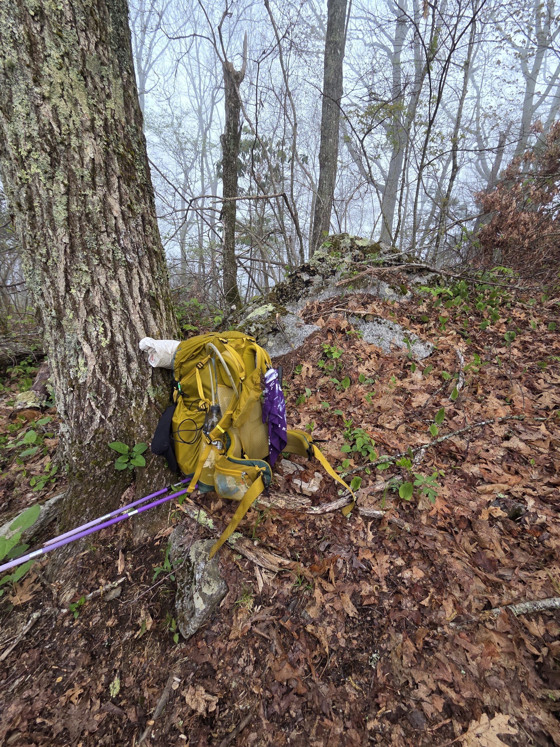
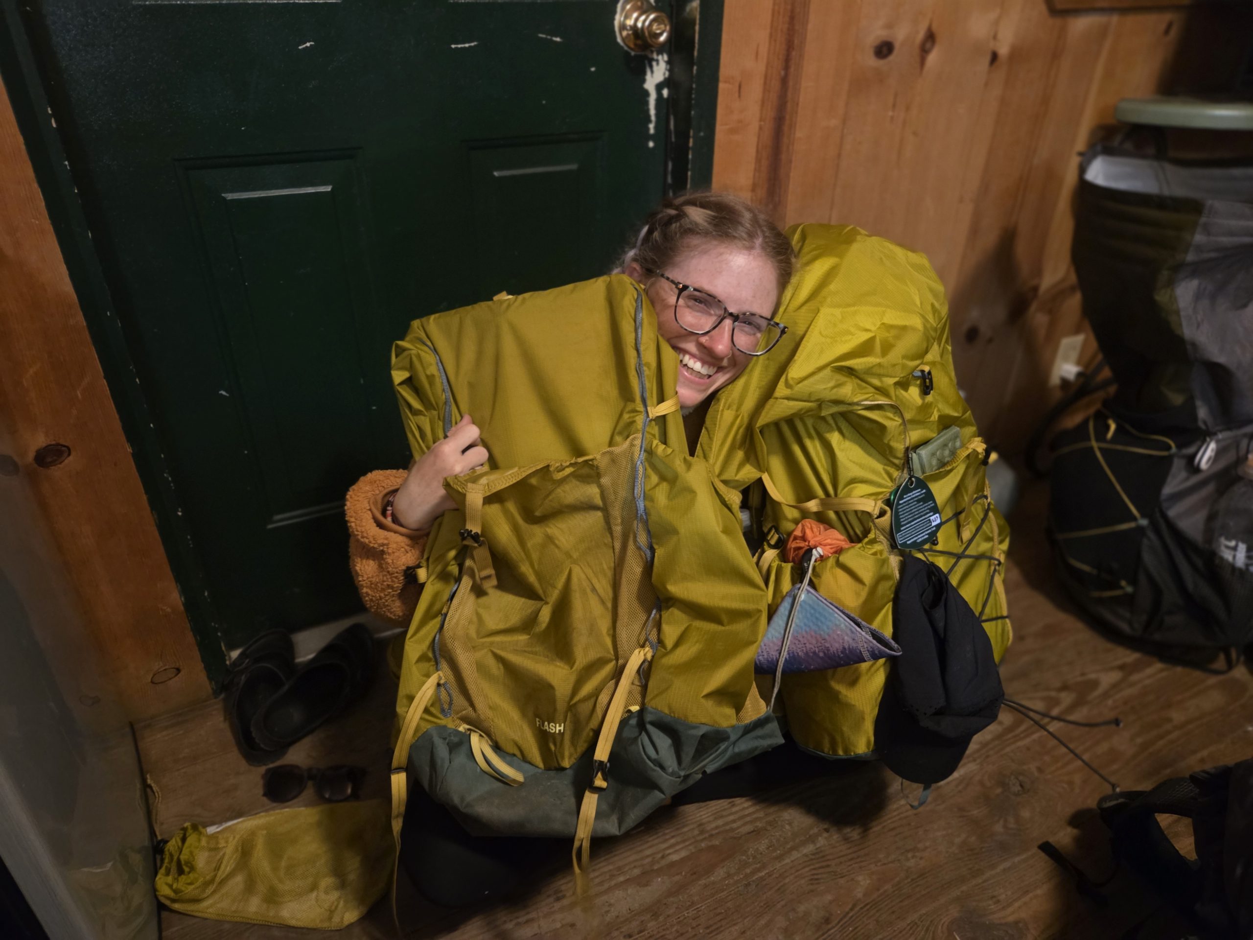
Today would be my last day with my pack, lovingly named Delilah! I grew to love her very much and was glad to get the same pack but still felt a little sentimental.
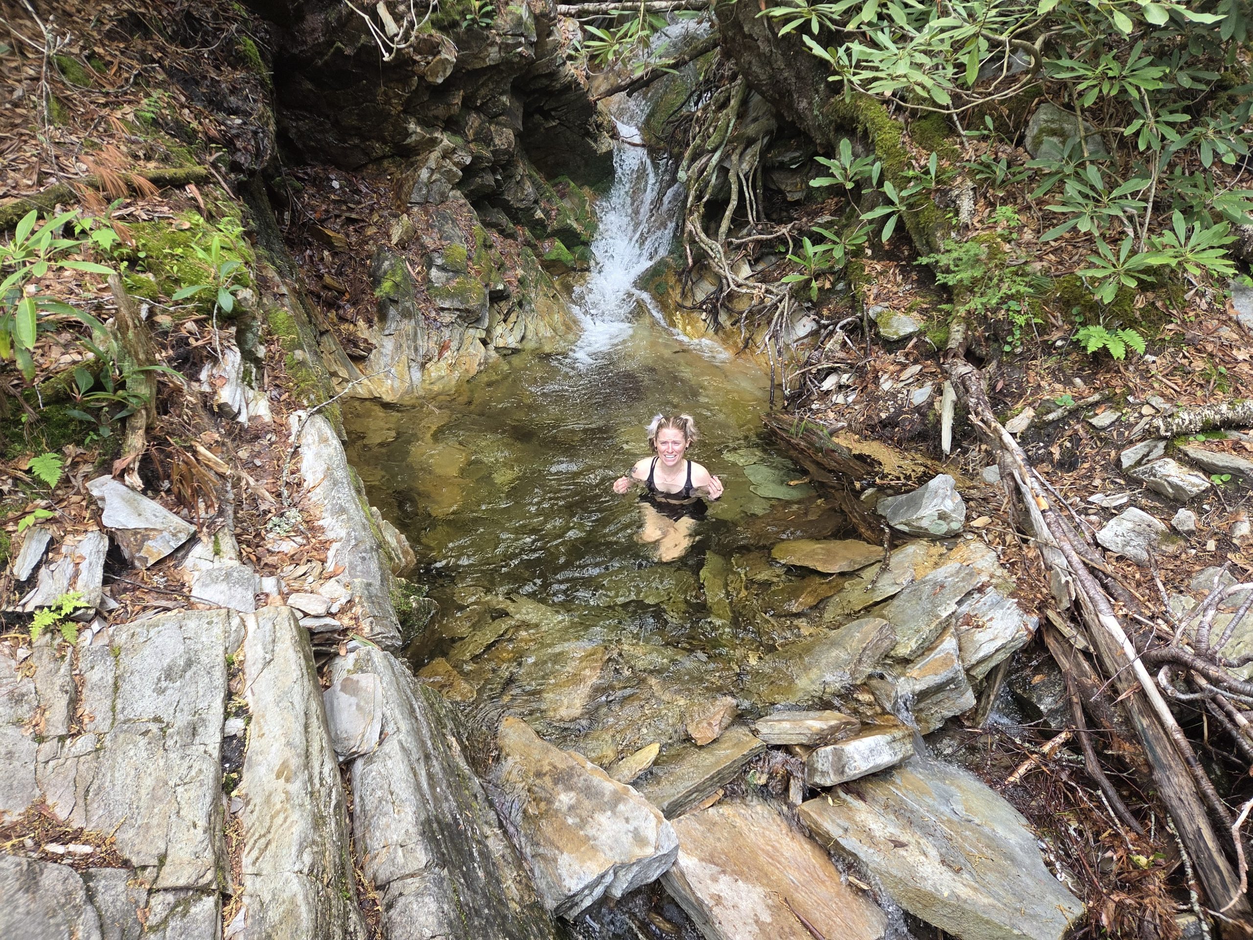
As we excitedly headed towards Erwin, TN and another night in a real bed at Uncle Johnny’s, we passed a swimming hole. It wasn’t a particularly warm morning and the water was freezing cold. However, when I get an idea in my head sometimes I can’t get it out (for example, hiking the AT).
So, I quickly crawled into the freezing water, stayed long enough to get a photo of my excited suffering, and crawled back out! It woke me up enough to speed up the rest of the downhill hike to the hostel! As we emerged from the woods, the man directing work trucks for hurricane relief greeted us with loud, ecstatic cheering. He yelled, “You made it!!” I had to snap a photo with him and later heard he does this for every hiker, all day, every day he works there.
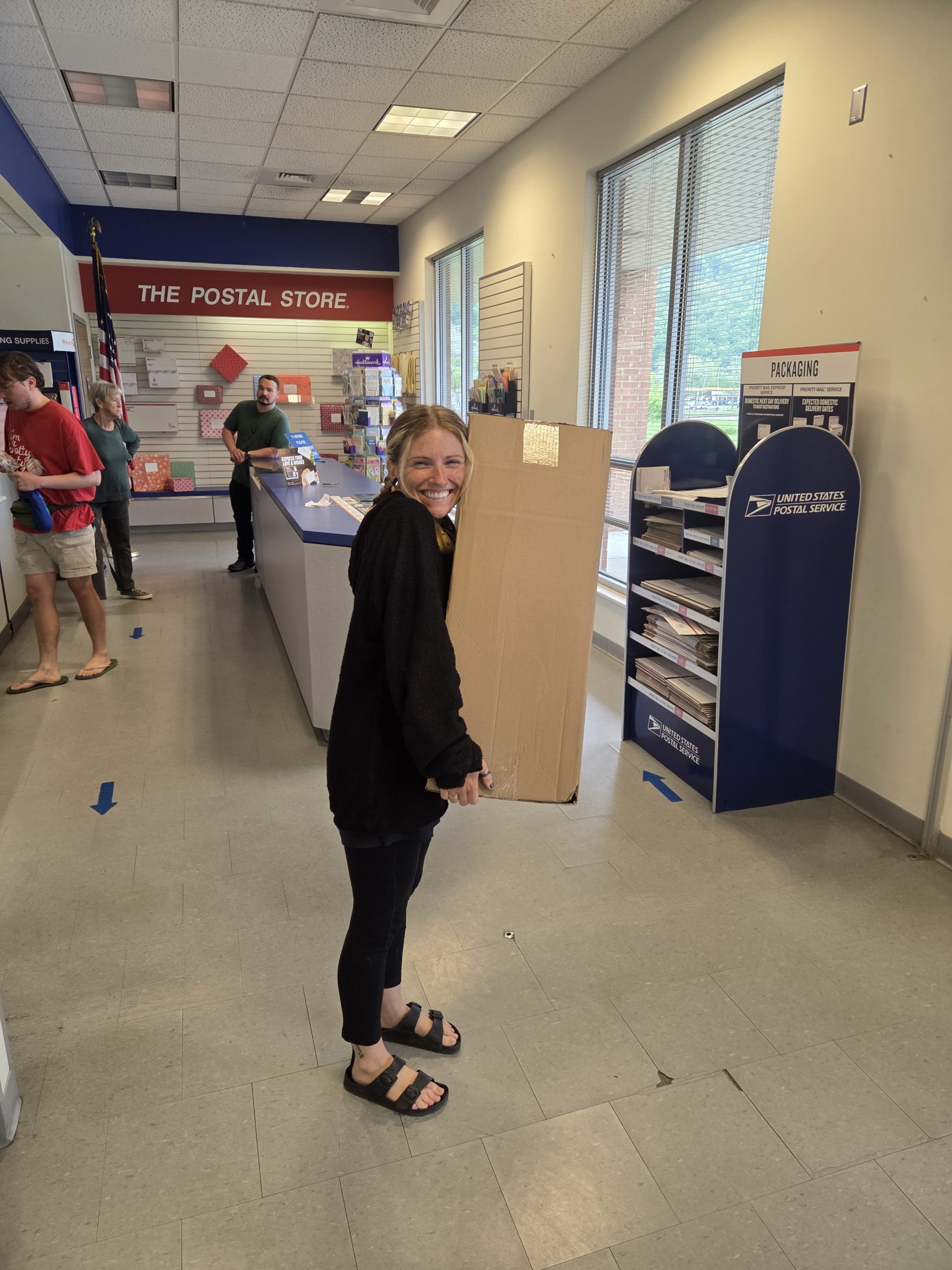
After quickly dropping my stuff, I was determined to make it to the post office to pick up my new pack!
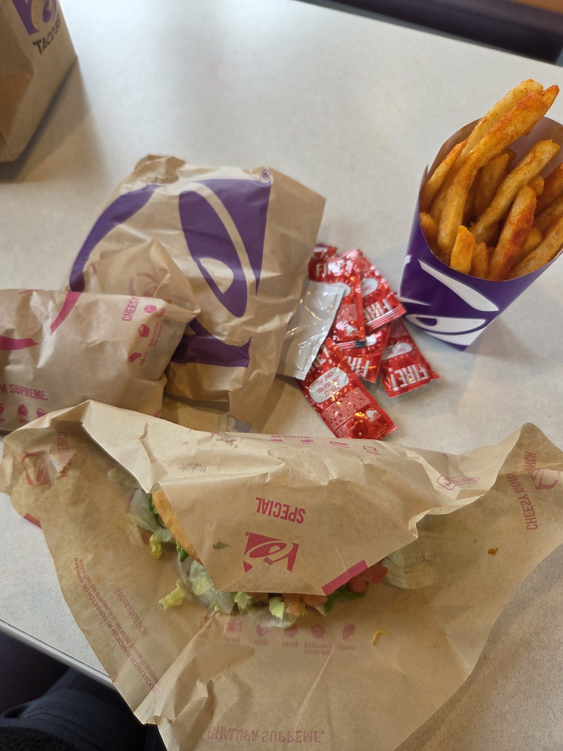
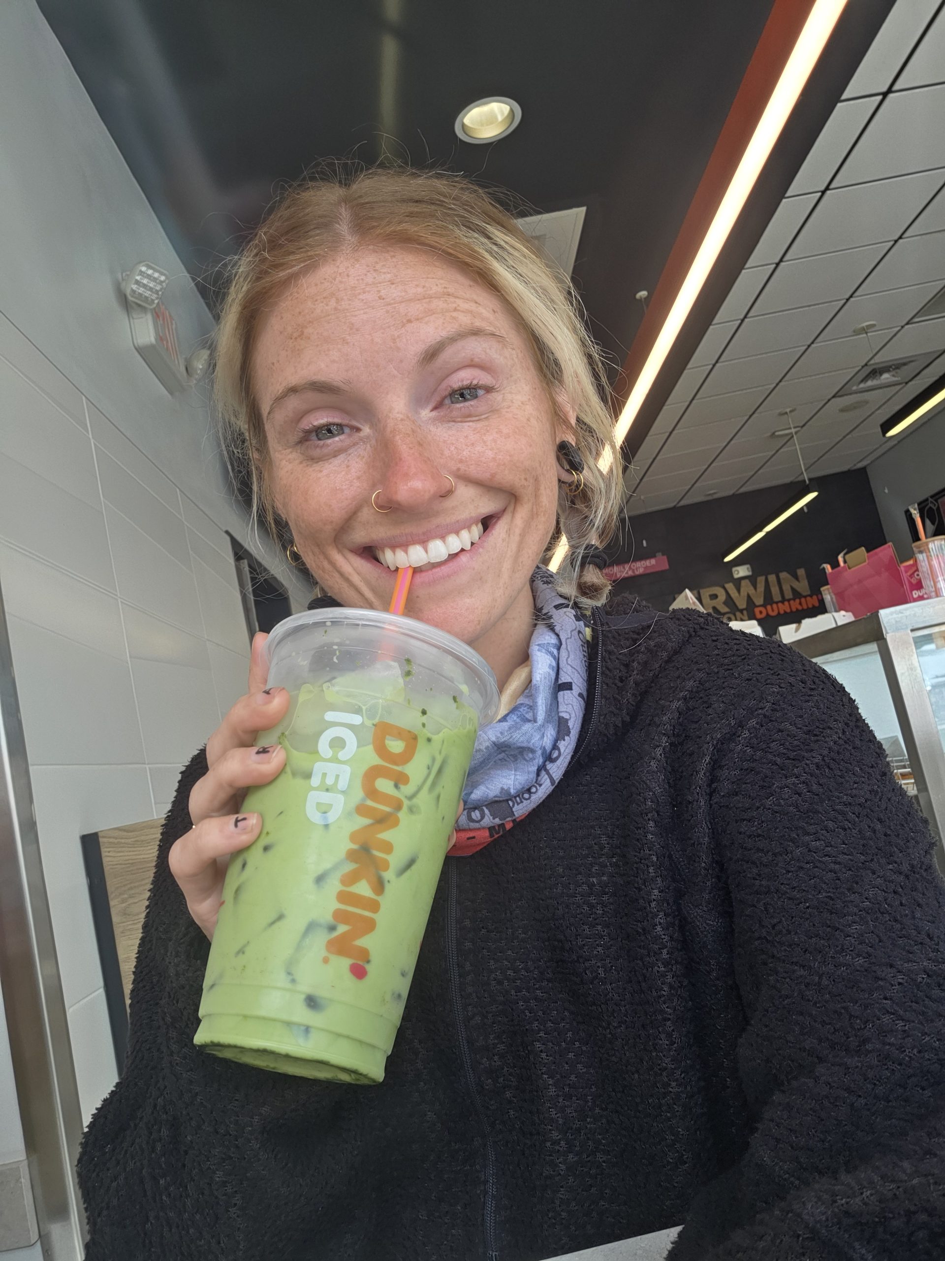
Next, I chowed down Taco Bell and ran across the street to Dunkin’ for a matcha!
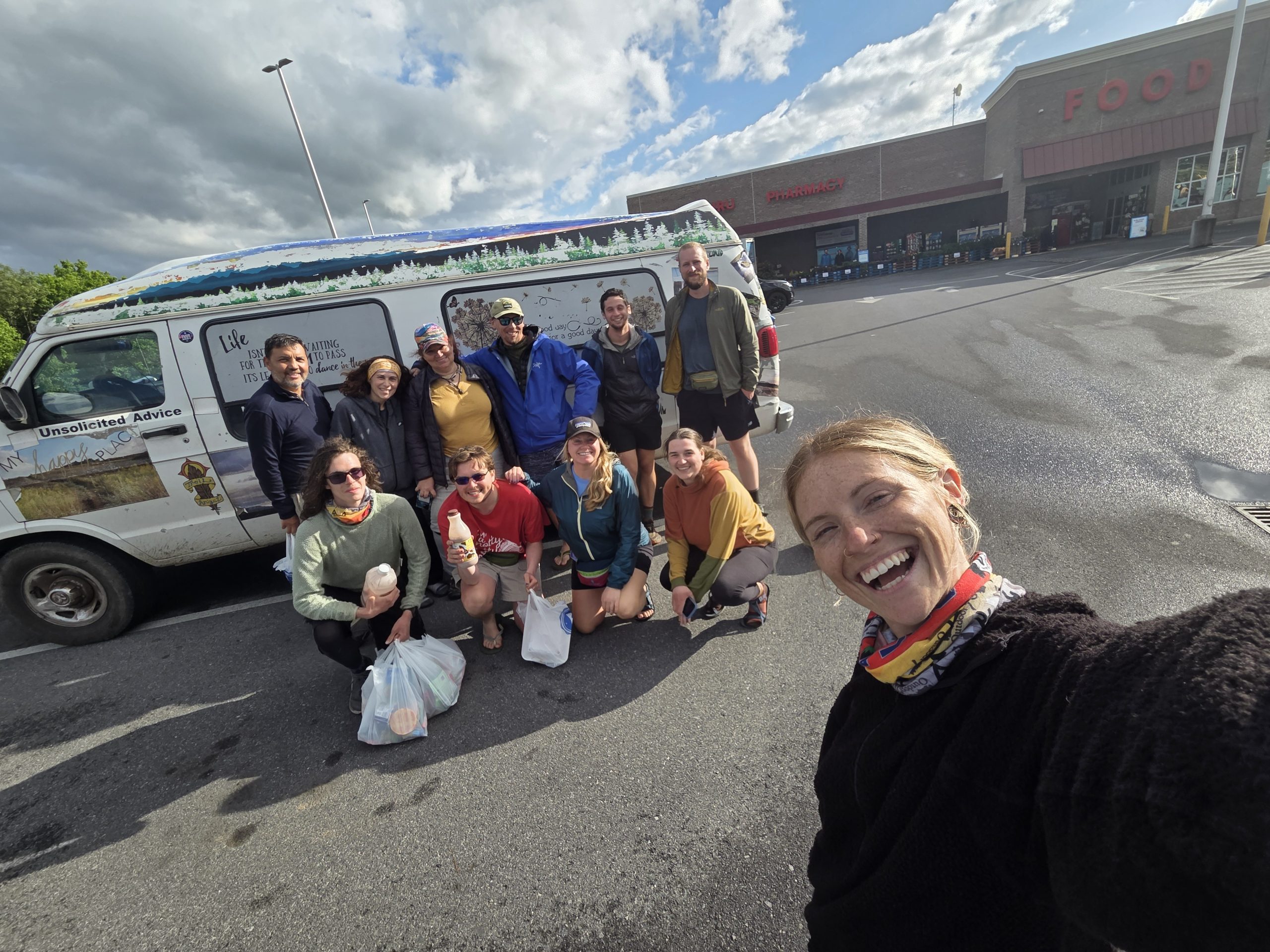
As we waited at the Food Lion for the shuttle back, a familiar van pulled into the parking lot. The famous Miss Janet! Miss Janet is an icon of the trail, a trail angel who provides acts of care and kindness to hikers all along the trail every single year. It was an honor to meet her and do a little photo shoot in the lot of the grocery store.
Back at Uncle Johnny’s I started the process of swapping out my pack. I swapped straps and accessories, moved all my items over, and triple checked every little pocket. After, I hugged and thanked my smelly old Delilah for being with me through my first stretch of my first thru hike!
Destinations & Things To Do
79-Year-Old Man Found Dead on Mt. Washington 2 Days After Straying From Summit

Officials say that a 79-year-old Florida man has been found deceased on the southeast side of New Hampshire’s Mt. Washington. William “Bill” Davis of Jacksonville, FL rode the Mt. Washington Cog Railway to the mountain’s summit with his wife on Wednesday before his disappearance triggered an extensive search.
He was last seen alive around 3:20 p.m. that day near the observation deck, where the couple had snapped a photo together before Bill wandered off on a nearby trail. Davis’s wife reported him missing around 6 p.m. on Wednesday after he failed to return.
A state park employee was able to reach Bill Davis on his cell phone. Davis told the employee he was lost and described his surroundings, but his phone apparently lost power. Rescuers initially believed it would be easy to locate him, but after searching late into the night using foot patrols and drones, there was no sign of the missing man.
The search continued throughout the day on Thursday and into Friday morning, eventually expanding to include more than 20 New Hampshire Fish and Game officers, rescuers from other agencies, and multiple Blackhawk helicopters.
Fish and Game officials told local New Hampshire news station WMUR shortly after 12 p.m. on Friday that they had found Davis’s body but did not release additional details or speculate on his cause of death.
Davis was not a hiker, having ridden to the summit by train, and authorities do not believe he was attempting to walk down the mountain. “He had no intention to hike, but for some reason he went off on the hiking trails, and no one knows why,” Fish and Game Lt. Mark Ober, Jr. said in an interview with WMUR.
Conditions on Mt. Washington
Mt. Washington is one of the tallest peaks on the east coast. Although the 6,288-foot summit is accessible by road and railway, it is still considered one of the most dangerous mountains in the US and is notorious for its harsh and unpredictable weather conditions.
Preliminary time series data from the Mt. Washington Weather Observatory suggest that July 16th, the day Davis disappeared, was a mild, clear afternoon at the summit. But by Thursday morning, the data indicate that fog had reduced visibility at the summit to less than a tenth of a mile, and conditions deteriorated significantly by Thursday night, with temperatures dipping into the high 30s overnight, visibility remaining low, and the observatory clocking wind speeds as high as 75 miles per hour.
Featured image: Bill Davis on the summit of Mt. Washington shortly before his disappearance on Wednesday.
This website contains affiliate links, which means The Trek may receive a percentage of any product or service you purchase using the links in the articles or advertisements. The buyer pays the same price as they would otherwise, and your purchase helps to support The Trek’s ongoing goal to serve you quality backpacking advice and information. Thanks for your support!
To learn more, please visit the About This Site page.
-

 The Travel Revolution of Our Era3 weeks ago
‘AI is undeniably reshaping the core structure of the hospitality ecosystem’: Venu G Somineni
-
Brand Stories1 week ago
The Smart Way to Stay: How CheQin.AI Is Flipping Hotel Booking in Your Favor
-
Mergers & Acquisitions1 week ago
How Elon Musk’s rogue Grok chatbot became a cautionary AI tale
-
Mergers & Acquisitions1 week ago
Amazon weighs further investment in Anthropic to deepen AI alliance
-
Brand Stories2 weeks ago
Voice AI Startup ElevenLabs Plans to Add Hubs Around the World
-
Asia Travel Pulse2 weeks ago
Looking For Adventure In Asia? Here Are 7 Epic Destinations You Need To Experience At Least Once – Zee News
-
Mergers & Acquisitions1 week ago
UK crime agency arrests 4 people over cyber attacks on retailers
-
AI in Travel2 weeks ago
‘Will AI take my job?’ A trip to a Beijing fortune-telling bar to see what lies ahead | China
-
Mergers & Acquisitions2 weeks ago
ChatGPT — the last of the great romantics
-
Mergers & Acquisitions1 week ago
EU pushes ahead with AI code of practice


You must be logged in to post a comment Login