
Destinations & Things To Do
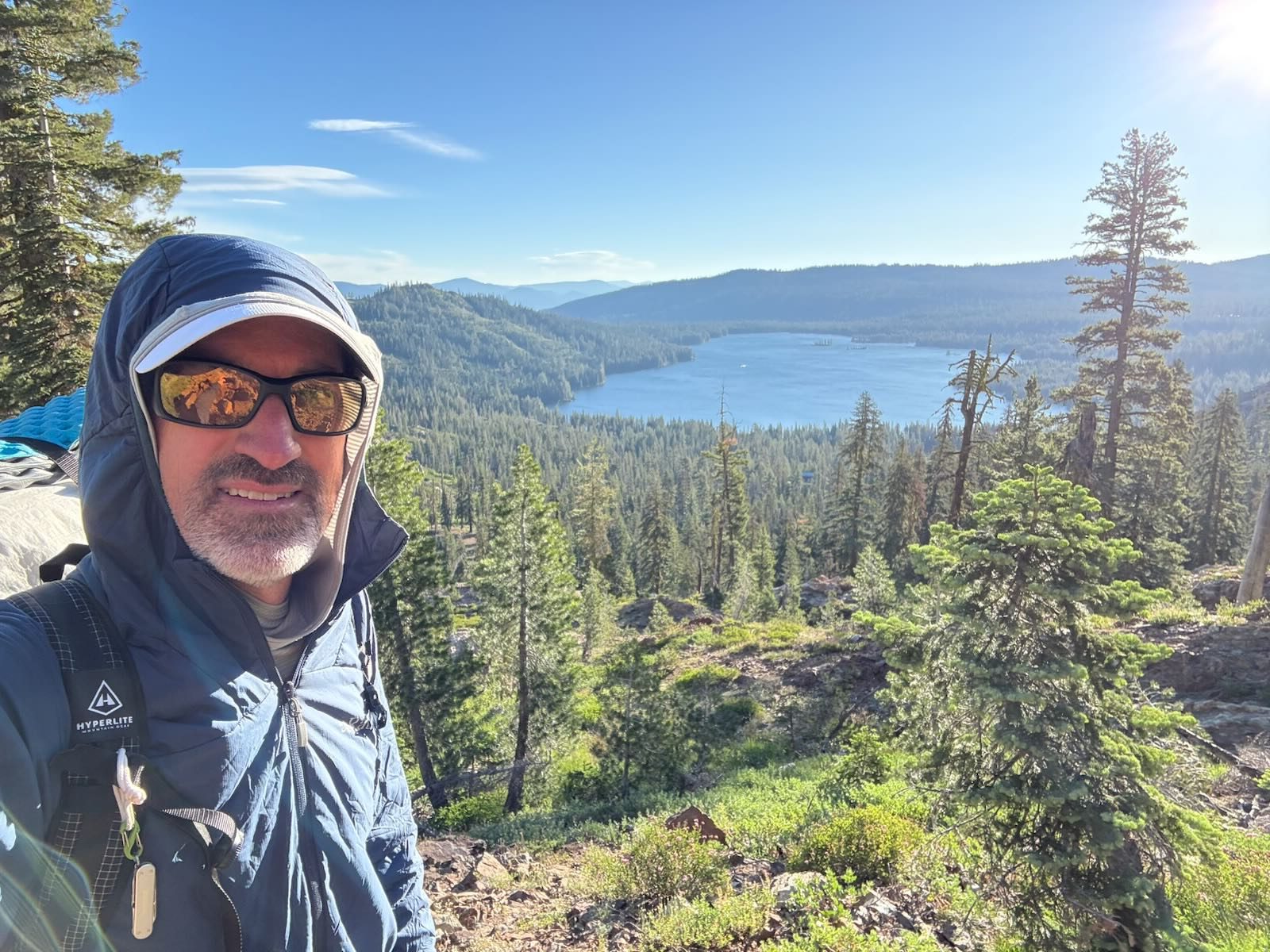
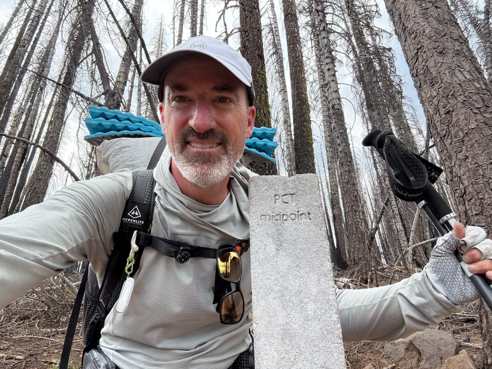
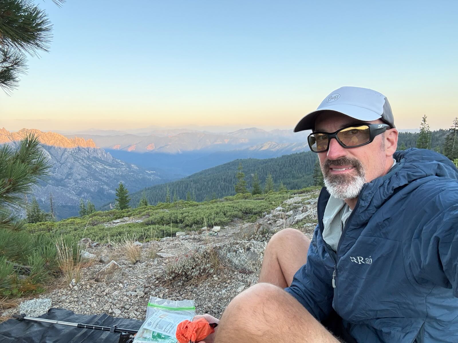
Bob is still on trail 🌲

*for more frequent updates, please follow us on Instagram @JulieandBobgoforahike, and/or @zapnuto*
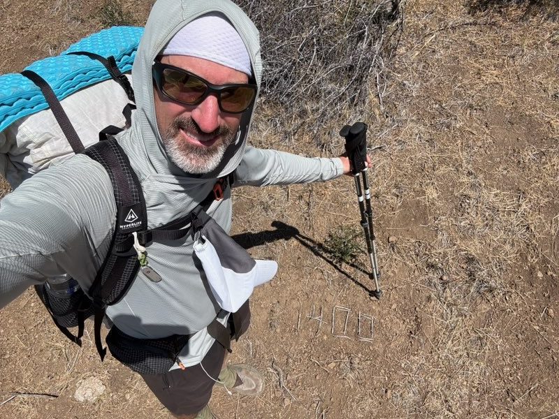
and passed the halfway marker!!!
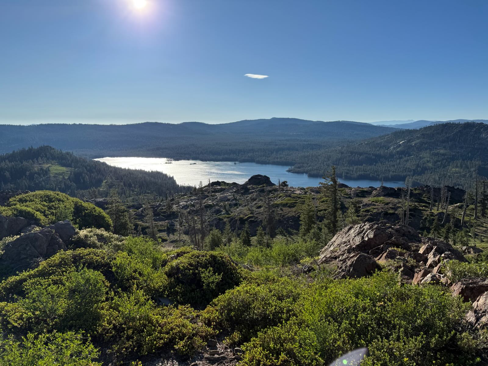
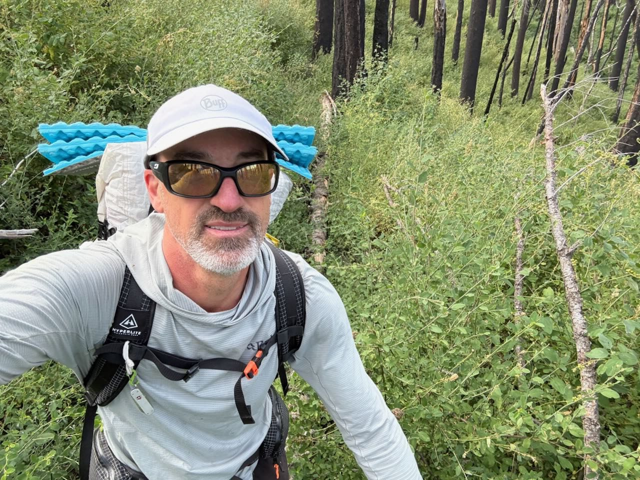
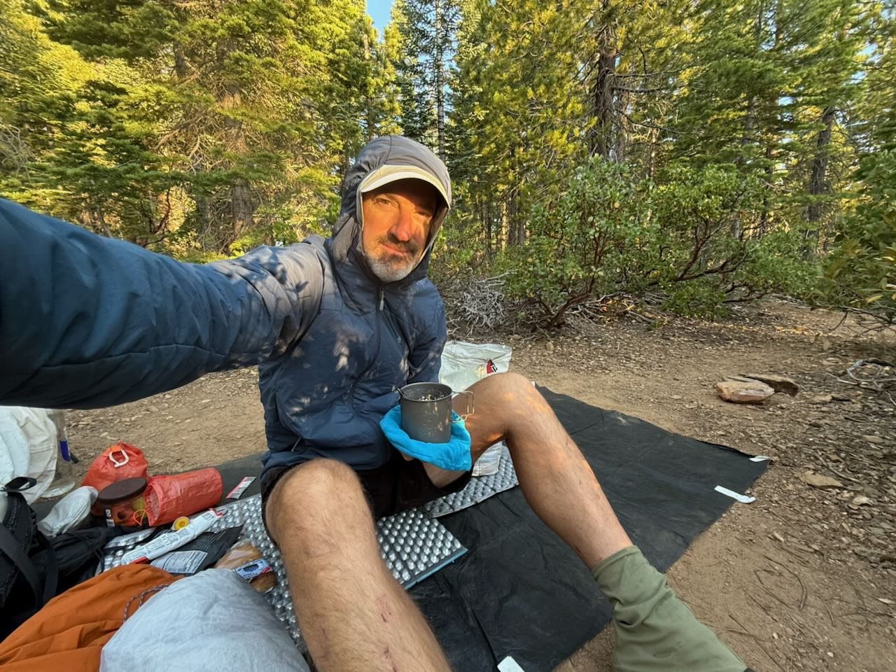
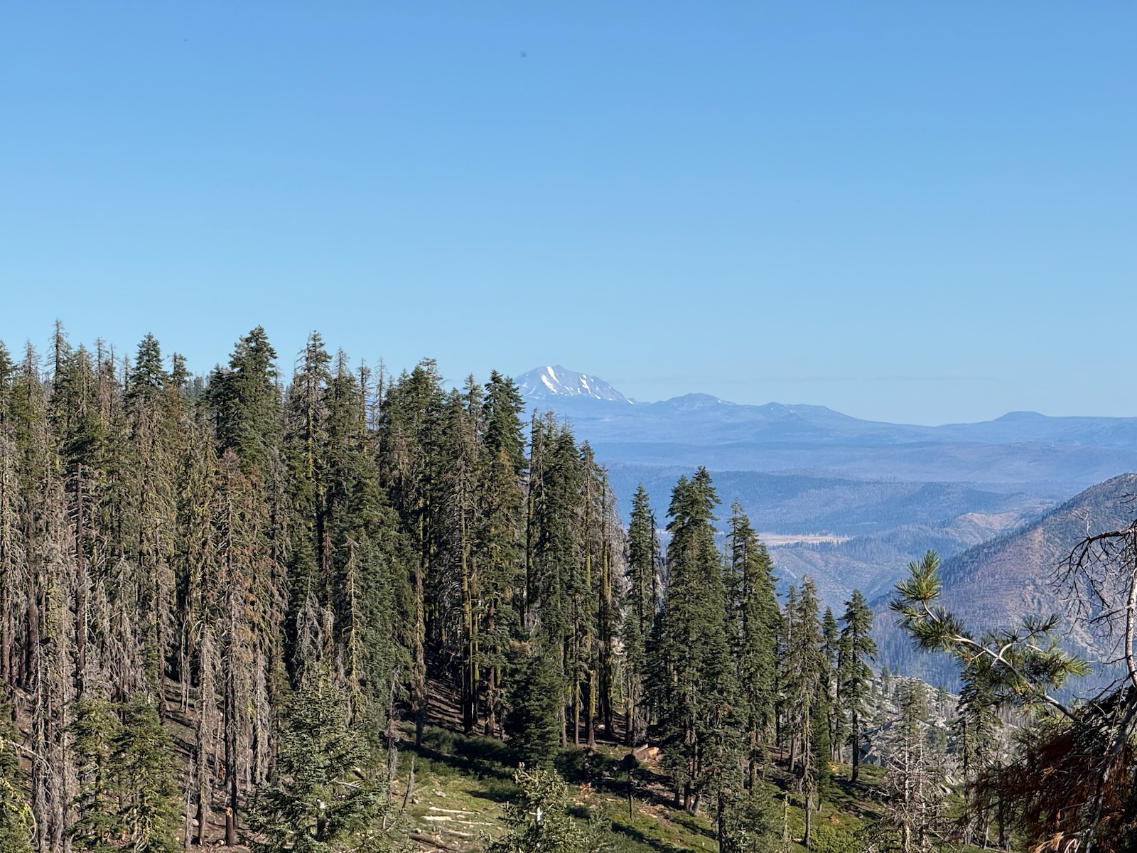
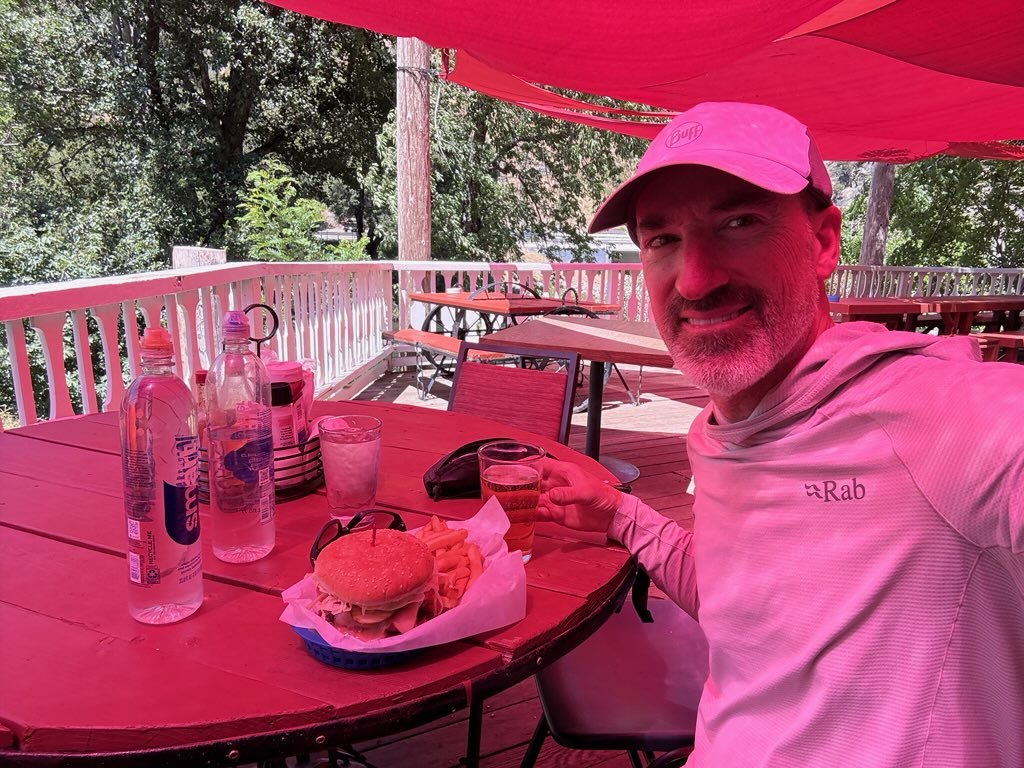
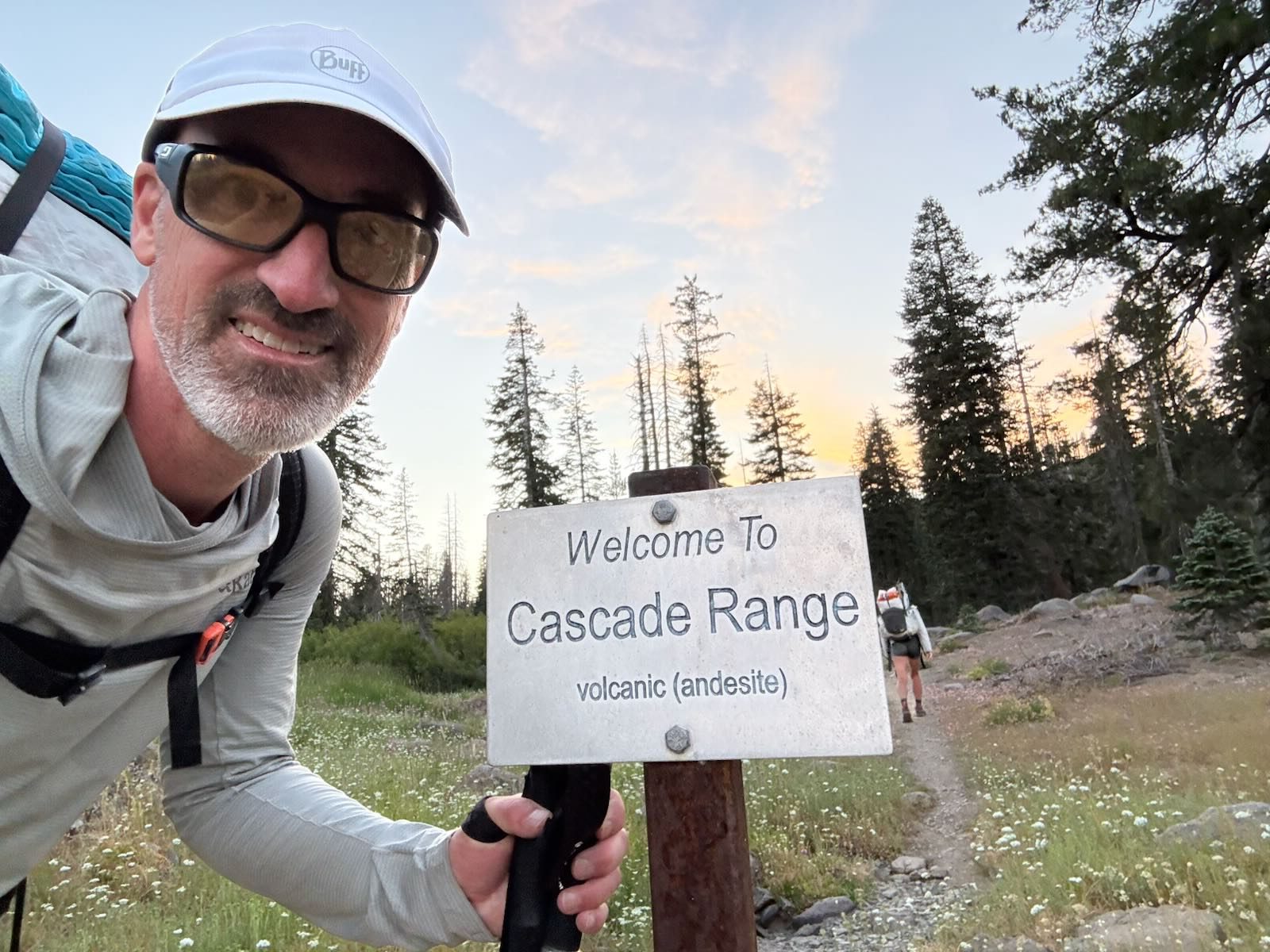
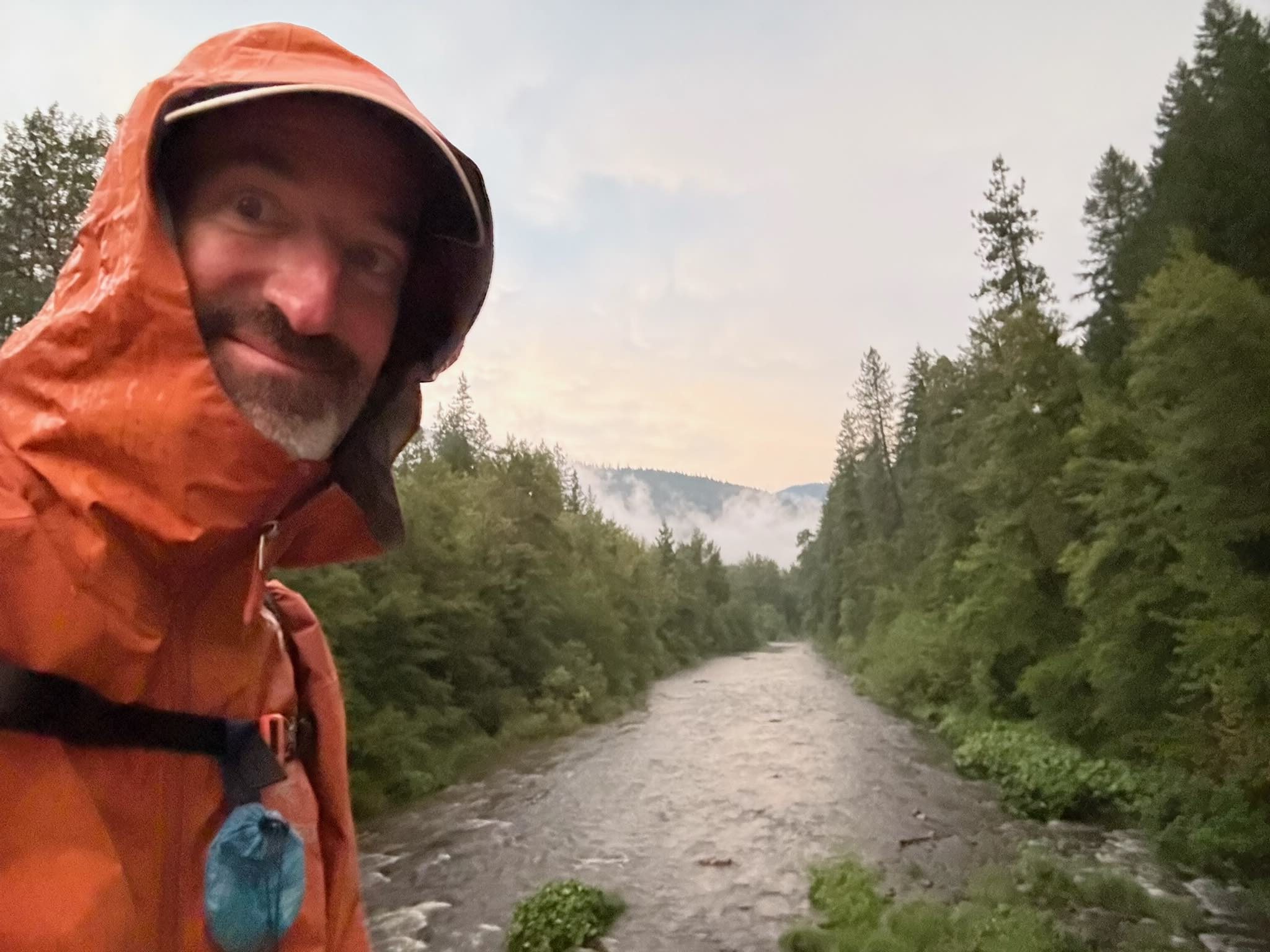
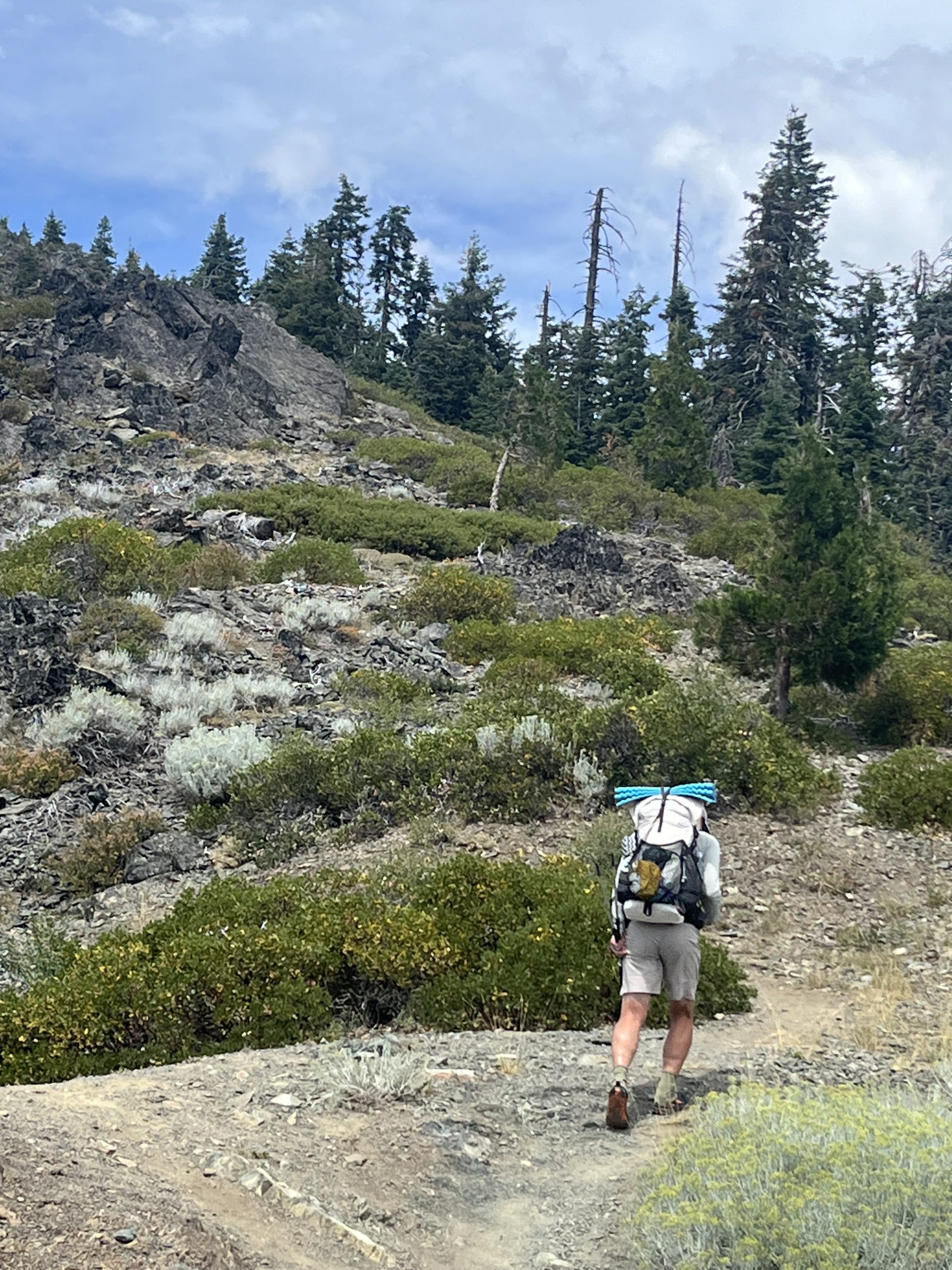
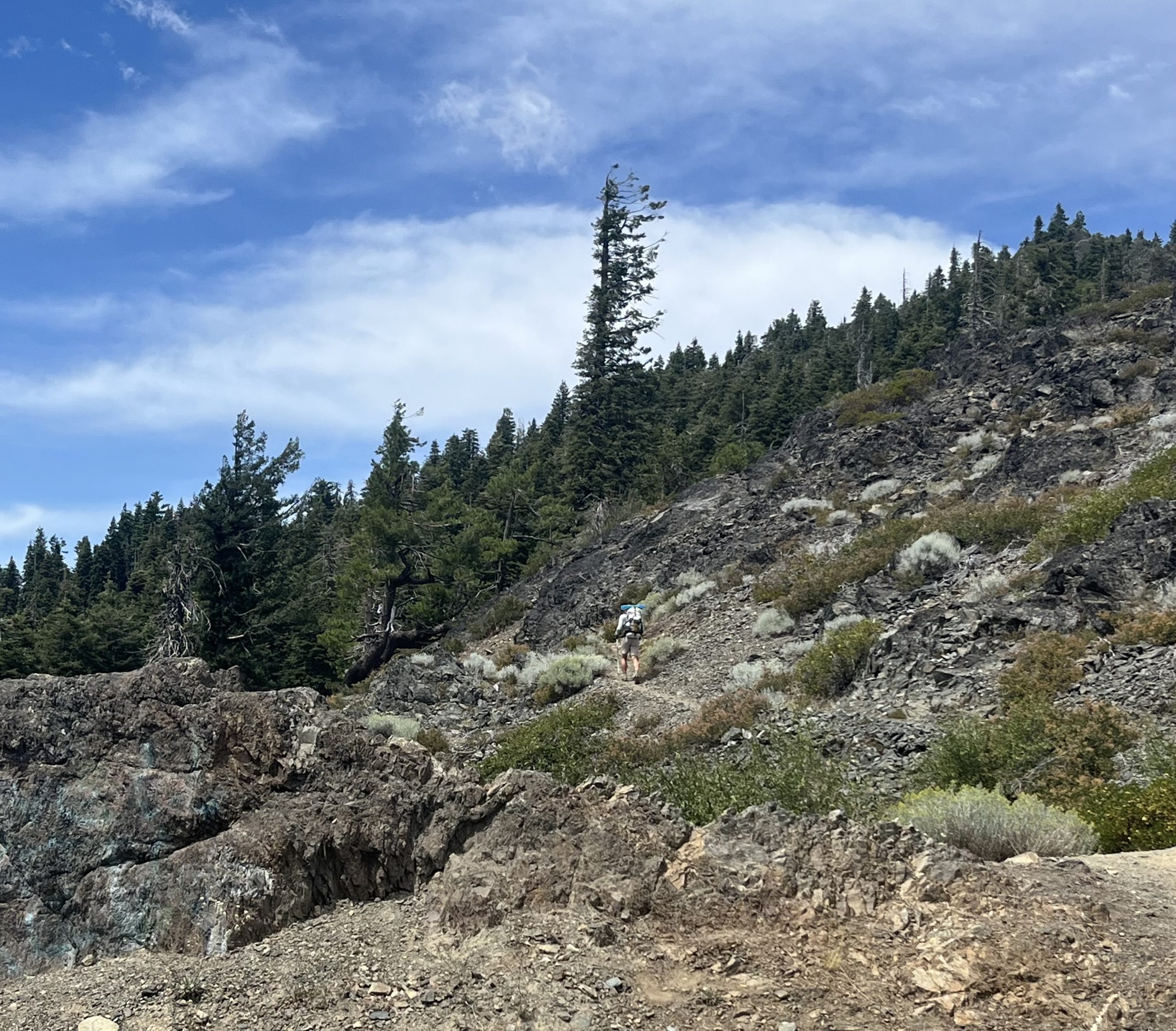
Bob has been doing fantastic! Since he left at Donner Pass, he has gotten into his own rhythm, adjusted to his own agency. He’s going his own pace and getting the miles done. He has been able to reach thirty mile days consistently. That distance feels good in his body and the trail has been accommodating.
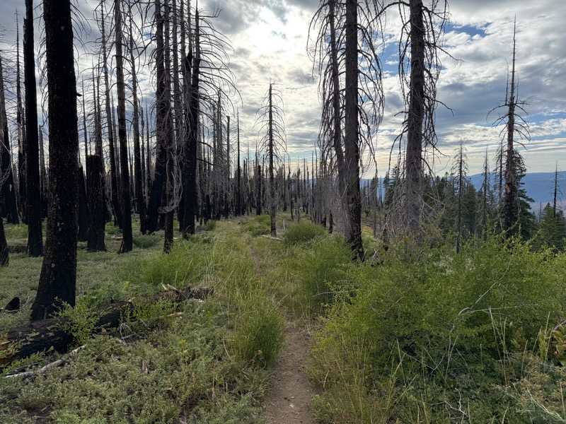
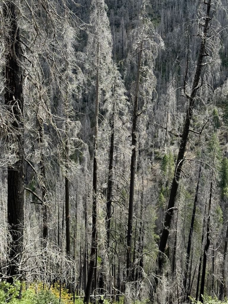
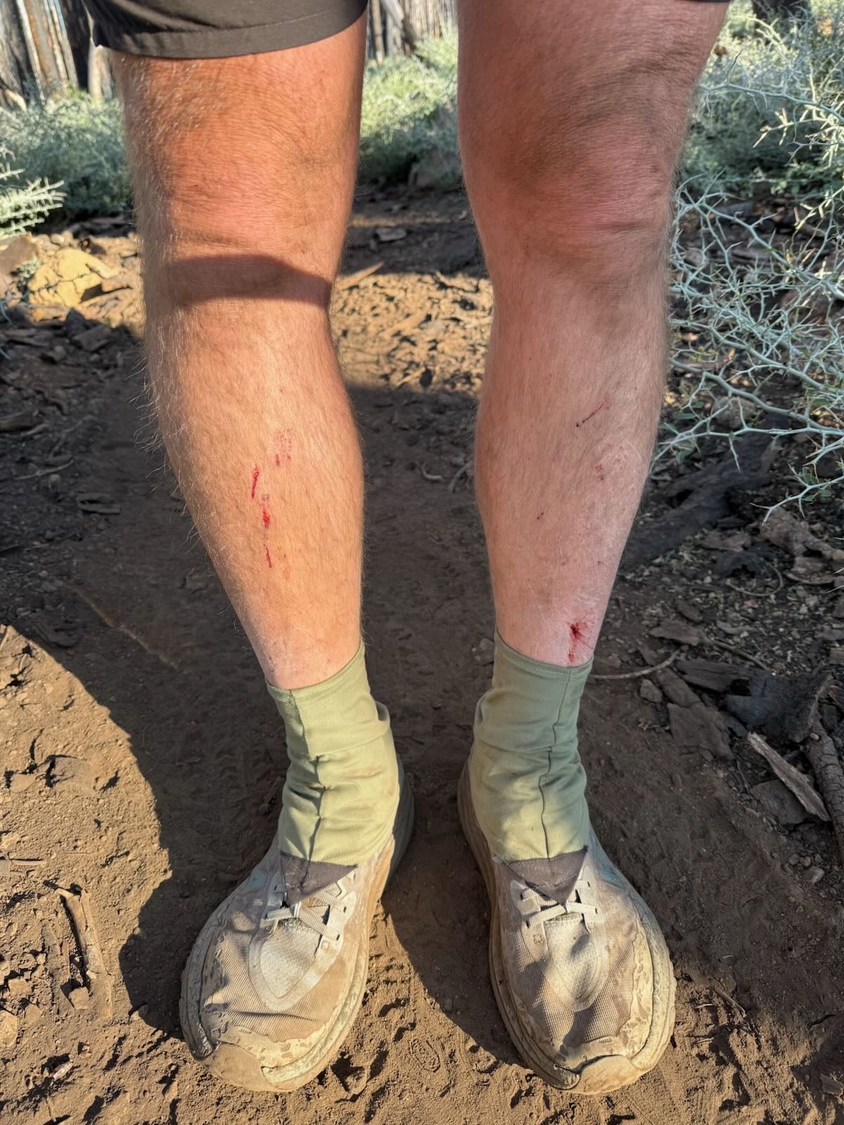
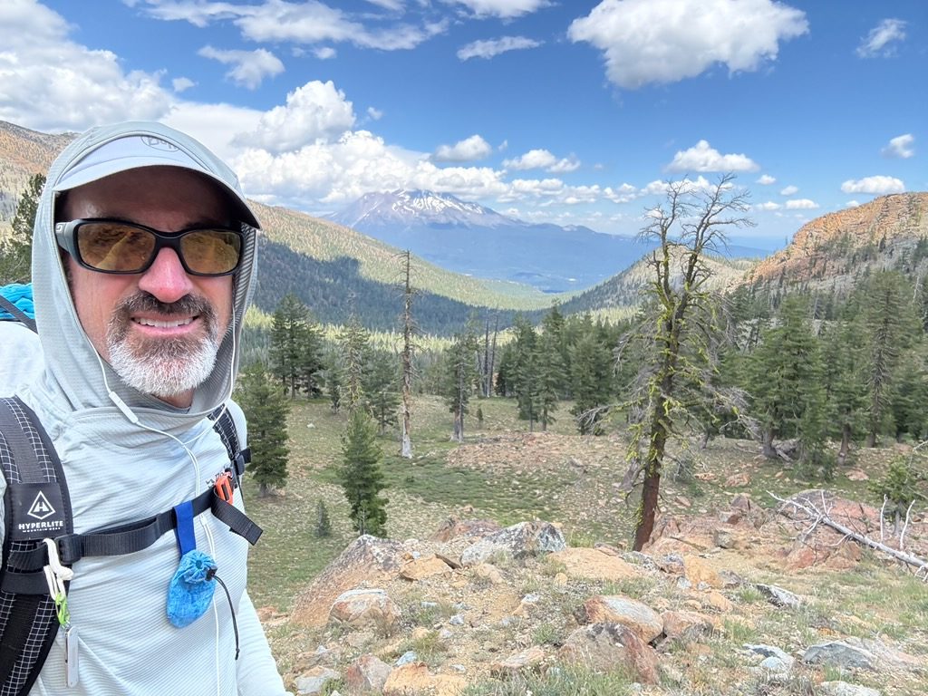
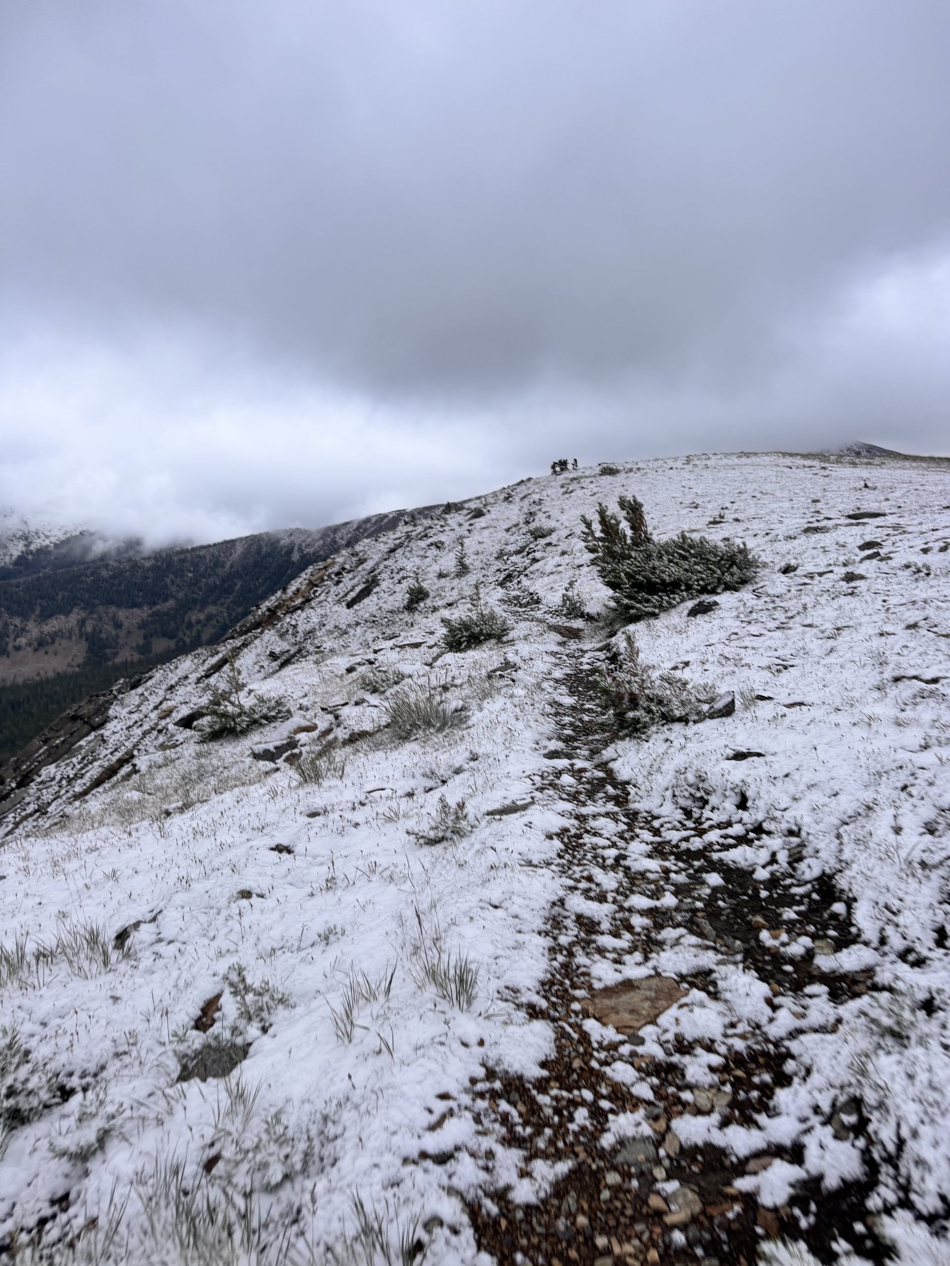
There was, however, a stretch which was quite overgrown. Bob suspects that while some PCT hikers stay on the main PCT route, most take the alternative route which is recommended. Bob chose to stay on the original trail. This was quite overgrown and did cut up his leg a bit. His right shin had been bothering him and after some time he did end up needing to get off trail and saw a doctor. They suspect a cut got infected and he is now on antibiotics and back on trail.
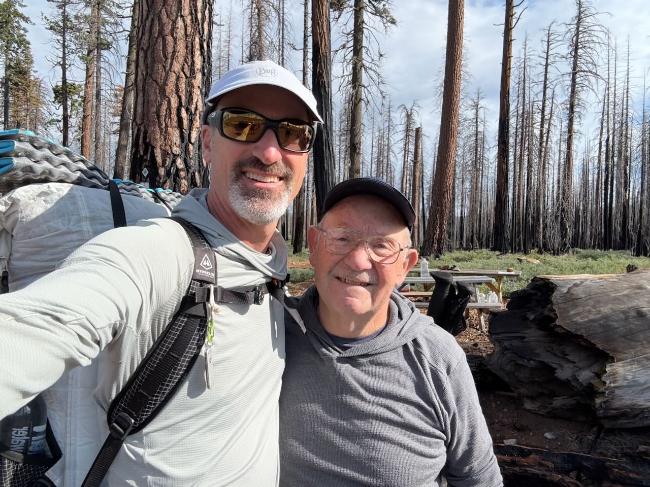
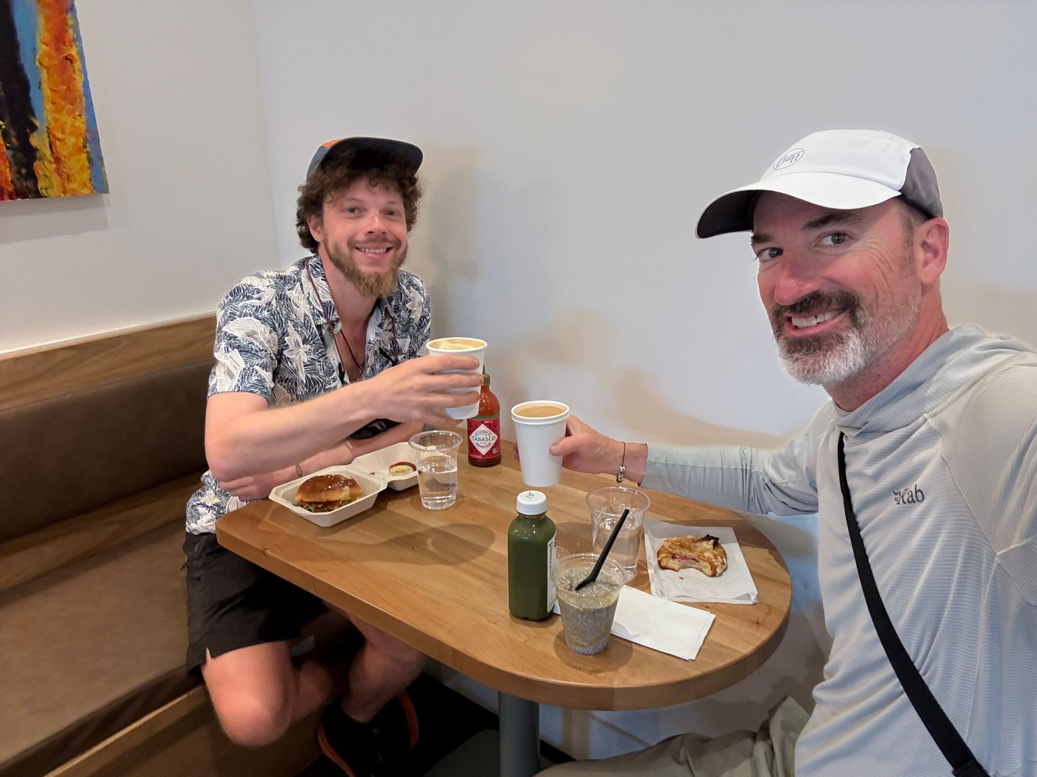
He has hiked again with Happy Meal, connected again with Bluegrass, but as always, with the time in town and pacing, they are not together anymore. It’s always a treat to reconnect up the trail.
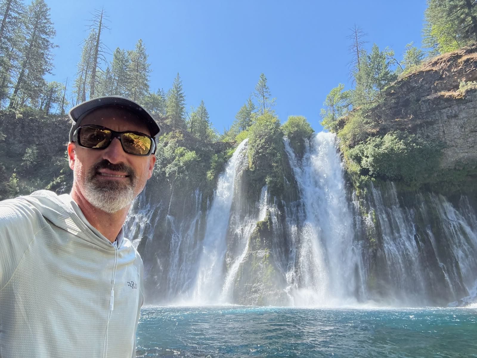
Meanwhile, my adventure has turned into a road trip. I made a list of things I’d like to see before. Some are on the PCT like Burney Falls, Crater Lake, and Tunnel Falls. I have never been to Portland or Seattle, so those went in the list. I sincerely wanted to simply read my book on the coast and also see the giant redwoods.
As it turned out, Livia (Sushi) was interested in joining me on this road trip. She had a similar wish list and we decided to join forces and take it day by day. It has fallen into place more perfectly than I could have predicted. I will be home again in a couple of weeks and then will do a post on our side adventure. 😜
This website contains affiliate links, which means The Trek may receive a percentage of any product or service you purchase using the links in the articles or advertisements. The buyer pays the same price as they would otherwise, and your purchase helps to support The Trek’s ongoing goal to serve you quality backpacking advice and information. Thanks for your support!
To learn more, please visit the About This Site page.

To the beginning
So, this morning, Map, his wife Trail Boss, Slinky and myself all walked to the southern terminus in a steady drizzle/rain. After a big thunderstorm the night before everything was wet. The trail was well maintained and we had a pleasant walk.
And we’re off!
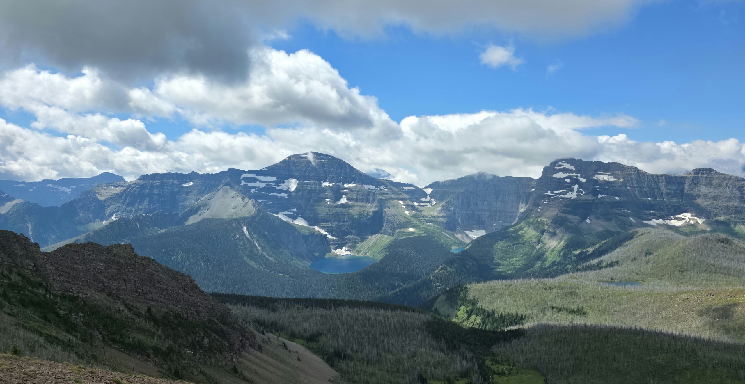
We set off from Waterton under cloudy skies. To our pleasant surprise, the trail was dry. No car wash bushes today! We pushed up a good long climb and into a new beautiful lake area. Throught breaking clouds we saw new mountains and valleys.
We made our way down to to camp at Akamina for the night.
Day Two…
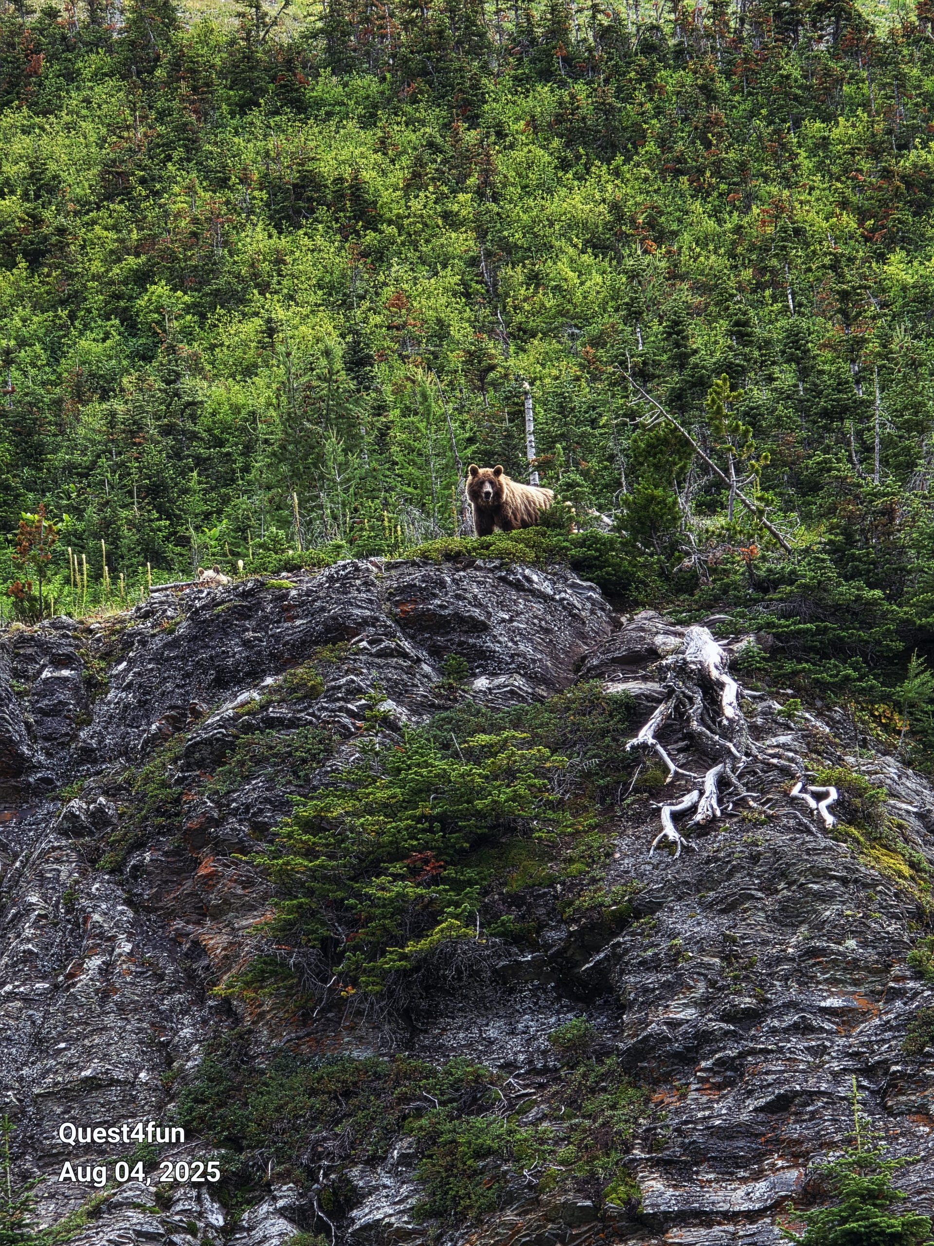
I awoke to shoes crunching outside my tent. Slinky was getting an early start. Map and I pack up quickly and begin our pursuit. It was a day of wildlife sightings. Deer, big horn sheep and the ever elusive mama grizzly!
Bonus points if you can find the cub in the photo!! Map and I rolled into Twin Lakes and there was Slinky, well rested and all set up. Quick meal and straight to sleep.
Day Three…
This was a short 10 mile day. In those 10 miles were more mountain views and impressive rock formations. The scenery doesn’t stop. Who ever is in charge of landscaping here is crushing it!!
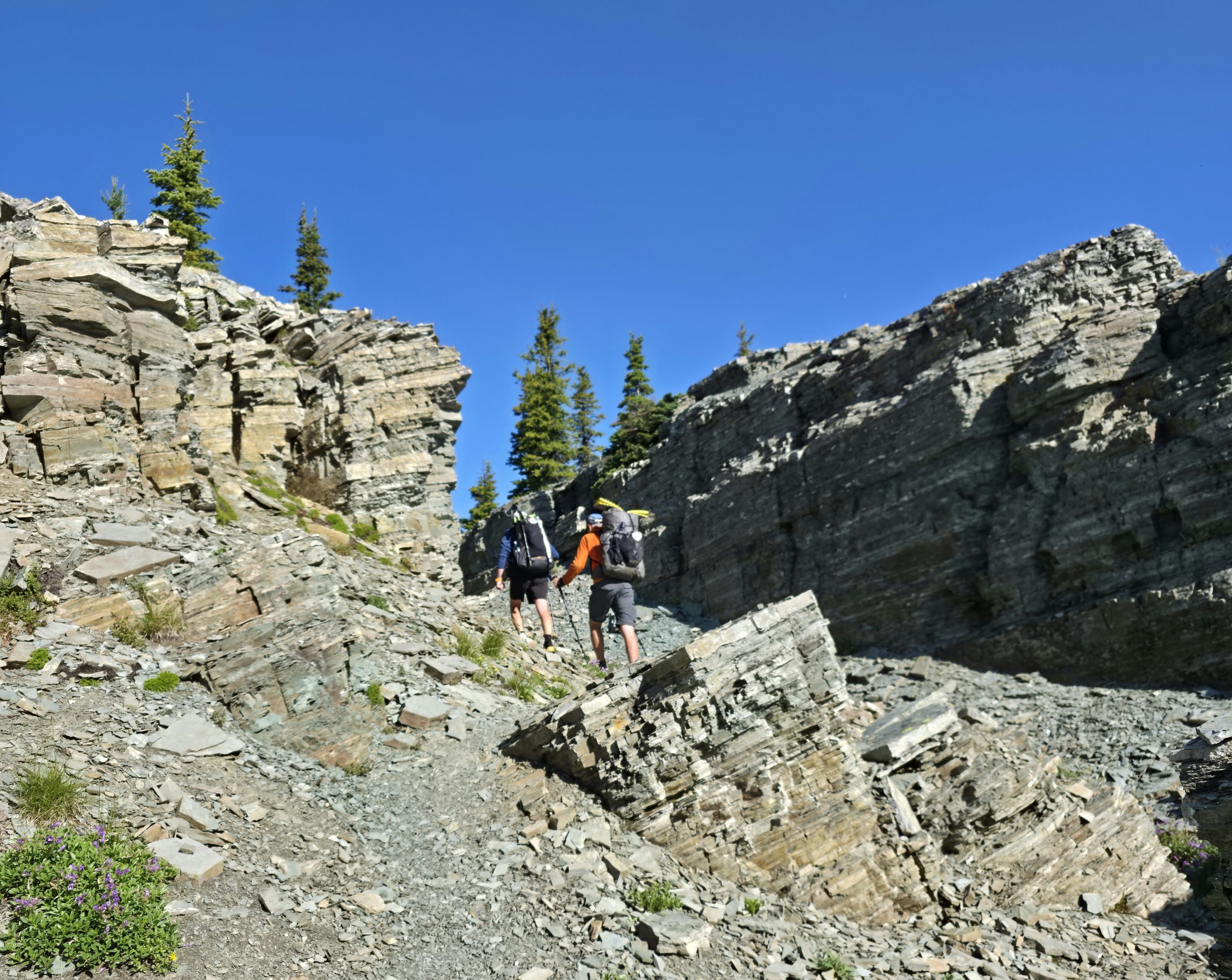
We finished at Scarp Pass where we met Martin and Hope, also hiking northbound. It was an early to bed night as the next day was La Coulette and the Barnaby alternate.
Day Four…
Up in the dark. An alpine start for a big day of climbing. The forecast called for windy conditions. After much climbing and descending we arrive at La Coulette summit. Choices had to be made. Slinky chose to take on the Barnaby alternate with Martin and Hope.(Find his blog under “Slinky” here on the Trek) I experienced some vertigo at the summit. As a result more anxiety kicked in and I chose to bypass the challenge. Being honest and vulnerable on trail is important. I felt comfortable in my decision to skip the alternate. As it turns out the main path was a different challenge. Several 600-800 foot climbs followed by the same descents, one after another. The terrain was quite challenging. Oof! Map and I finally broke onto an unmaintained ATV road and 10 miles later walked into Castle Mountain Ski Resort. Lo and behold, they had a hostel!!! Showers and beds were procured. Ahhhh…
Day Five…
A pleasant sleep-in was had… We started with a 4mi road walk and a climb to an old logging road. Slinky, Martin and Hope catch us and stories are shared. Seeing pictures of their adventures make my choice to skip the Barnaby correct. Too sketchy for me! So proud of them for pushing through high winds and big exposure scrambles!! The rest of the day is spent on the road , so quick easy walking. We managed to make 30mi for the day, putting us ahead of schedule. It was a long day and we all ate and went straight to sleep.
Town day…
We awoke to rain battering gently on tents. We all packed up and headed into Coleman, Alberta. It was a quick 4mi walk on a maintained gravel road. Many town chores were on our to do list but first, coffee and breakfast.
We will take two zero days (no mileage) here to do laundry, resupply our food and rest up for the next 7 day section. This first section has surpassed expectation. Can’t wait to see what’s next.
Follow us here on The Trek and at Ethanmurrayfund.org as we hike to raise funds and promote awareness for mental health.
Cheers, Yardsale
This website contains affiliate links, which means The Trek may receive a percentage of any product or service you purchase using the links in the articles or advertisements. The buyer pays the same price as they would otherwise, and your purchase helps to support The Trek’s ongoing goal to serve you quality backpacking advice and information. Thanks for your support!
To learn more, please visit the About This Site page.
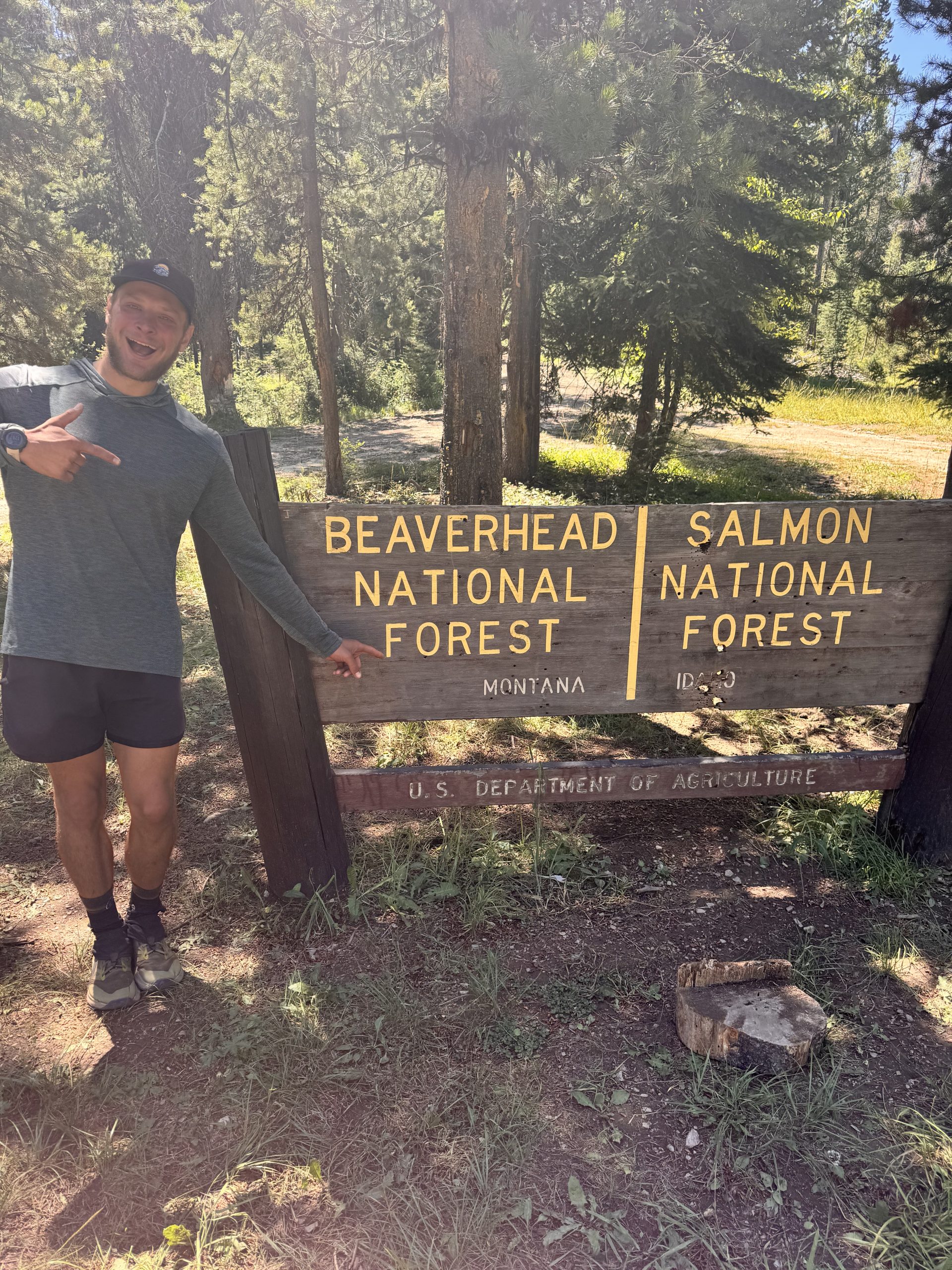
This section was jampacked with miles, mountains and memories. After some much-needed rest in Salmon, we hiked our last days in Idaho before ditching it (byedaho!) and embracing Montana as our final state on the CDT.
Lemhi Pass to North Fork
Day 92-93: some miles/ some ft gain
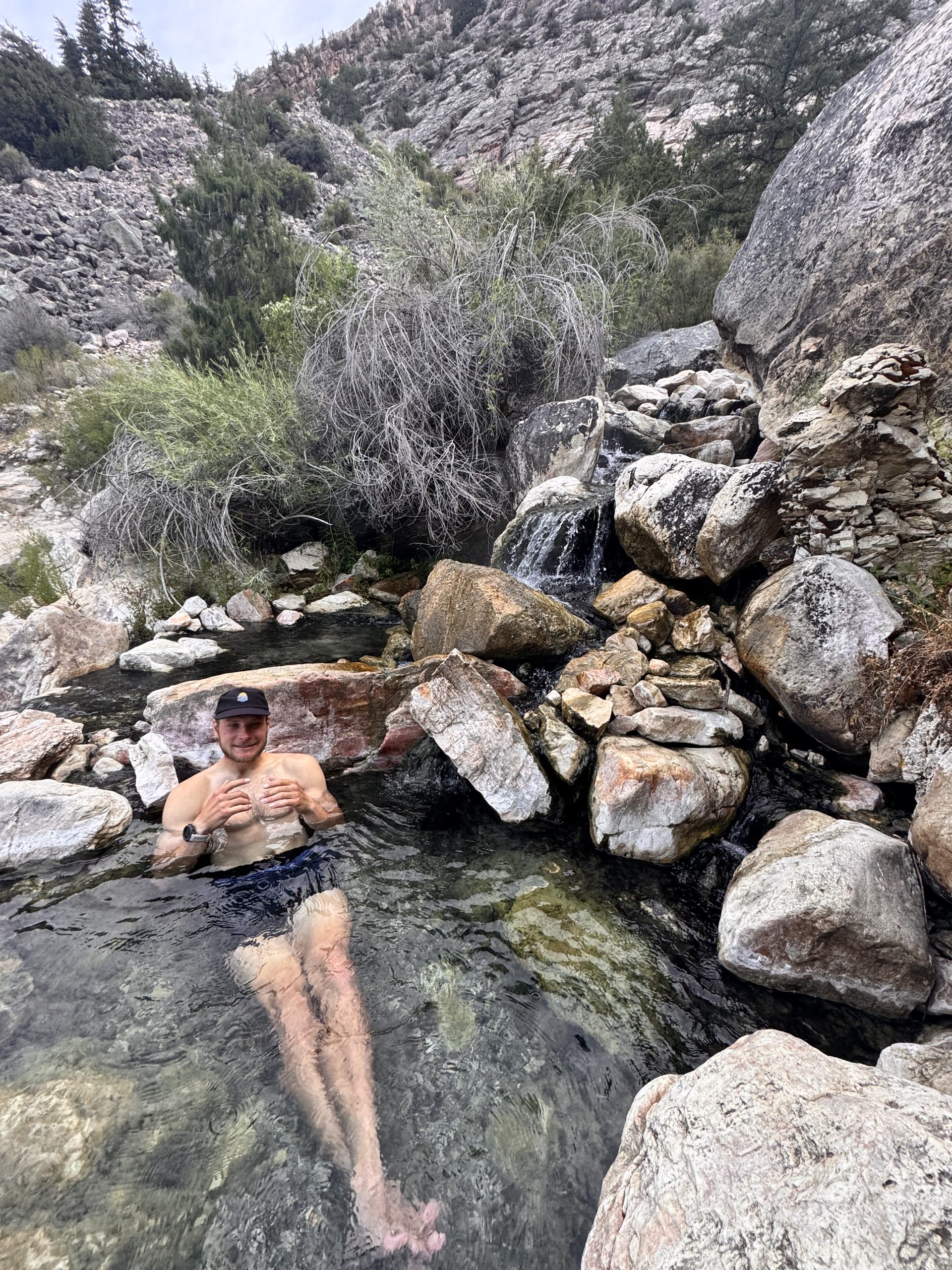
Time in Salmon was restorative. Being with my mom heals me like nothing else. We played games, went bowling, toured a brewery, took the dogs to the river, hiked to Goldbug Hot Springs and soaked up every moment together. Devin and I both agreed it was exactly what we needed before tackling the next long stretch. We love you, Linda!
Day 94: 19.4 miles/ 4,400 ft gain
We hugged my mom, said tearful goodbyes to her and the dogs, and promised to see each other at Roger’s Pass in just over two weeks. I waved until her car disappeared down Lemhi Pass, my vision blurring—not just from missing her and my dog but from feeling the emotional weight of the trail. Devin pulled me into a hug, gave a pep talk, and reminded me it’s okay to quit. His permission was appreciated, but I still had the will to finish.
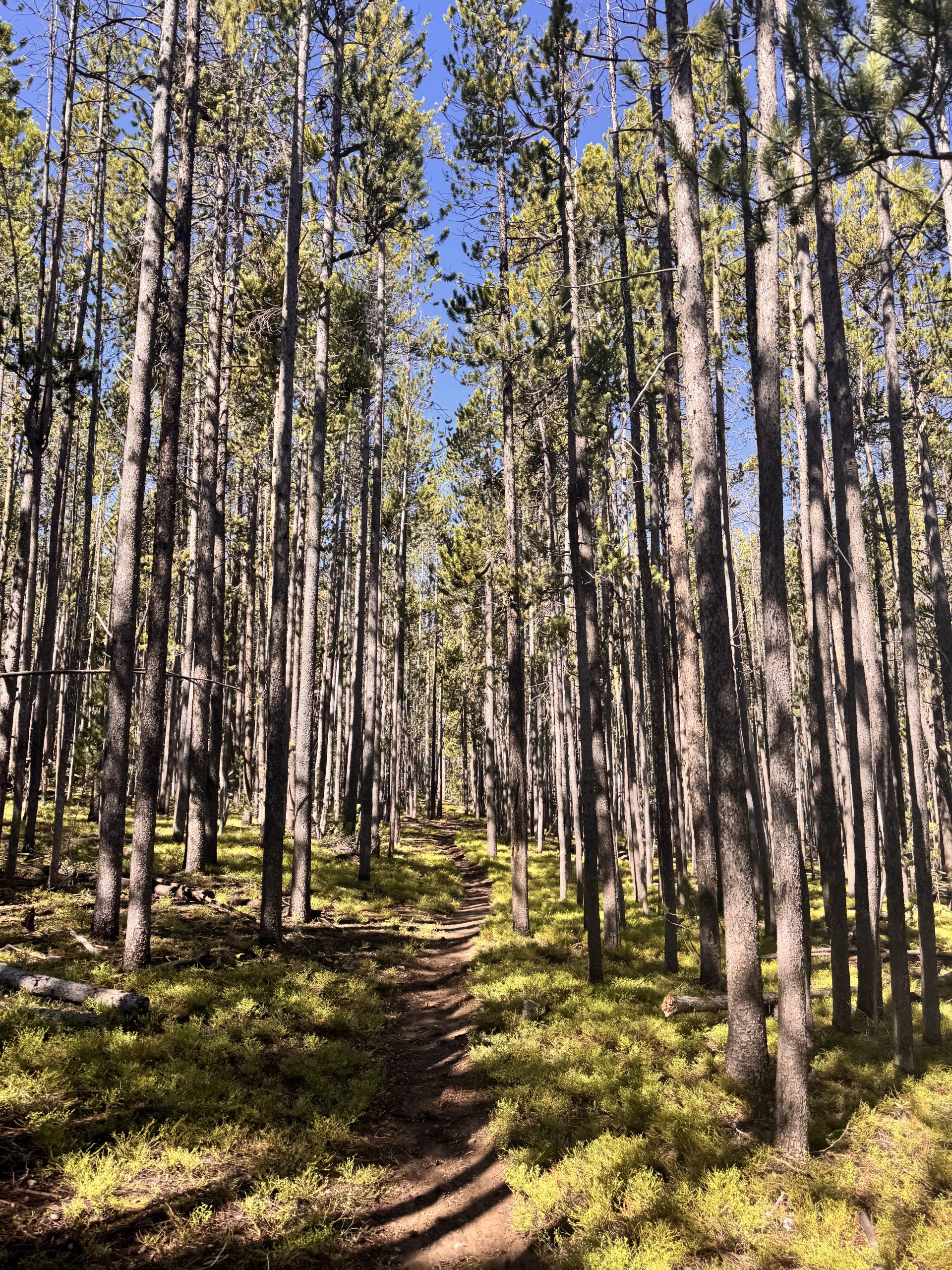
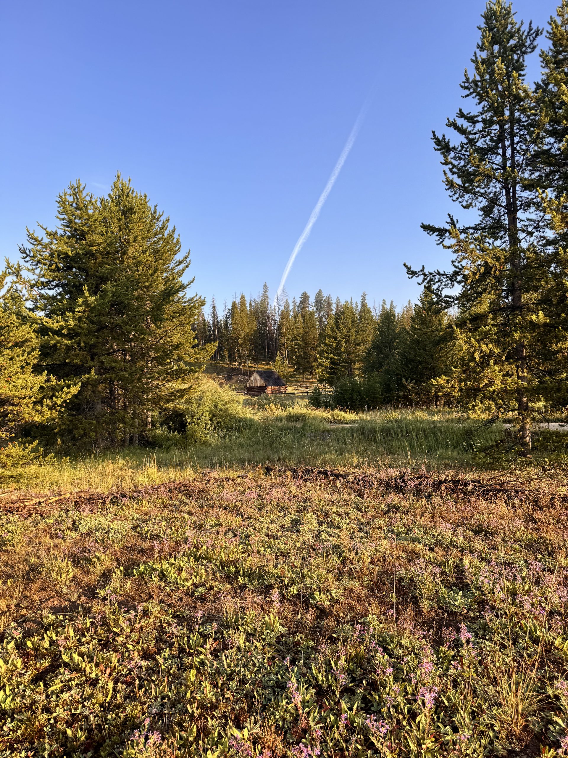
We settled into the trail again by mile two, climbing gently through shaded lodgepoles. During our first break, we agreed that while sagebrush hills had their charm, it felt good to be under trees again. Most of the day was spent weaving through forest and burn scar, until the final miles turned to sharp shale and rocky ridges.
Storm clouds grew behind us in the last hour, darkening each time we looked back. We pushed hard over the last peak, grabbed water from a spring and threw up the tent just before lightning, thunder and rain hit. We felt lucky to be inside as it all began at once.
Day 95: 25.1 miles/ 3,400 ft gain
The alarm went off early, but I snoozed it for thirty minutes. Cold air and stiff muscles made getting up feel impossible. Eventually I crawled out to grab the bear bags and make coffee, now upgraded with hot chocolate packets. By 7:00am, we were climbing again.
The first ridge warmed us quickly. Peaks and valleys unfolded on either side as we stayed high before taking a chossy alternate down to the creek. It saved a mile, though the energy spent avoiding a tumble may not have been worth it.
Breakfast at mile seven came with mosquitoes, so we kept moving. The next stretch was cruisy—pine-scented forest, soft trail, gentle decline. At Pioneer Creek, we snacked and filled water before continuing six miles to Hamby Creek. I missed a junction, adding ten minutes and .4 miles to my day, but caught the mistake quickly. Sunshine burned off clouds, humidity rose, and shade became our friend.
We rested under a pine before the final 5.4 miles and 1,000 ft gain. Light drizzle cooled us as we crested the ridge and met six SOBO hikers. Steep switchbacks dropped us into the next valley where feet and knees ached for the day to be done. A half-mile of road walking brought us to camp, set and in PJs by 3:30pm—impressive for 25 miles.
Day 96: 19.5 miles/ 4,900 ft gain
Branches cracking outside of our tent made for a fitful sleep. Coffee hit extra hard as we started hiking at 7:00am, tackling 2,000 ft of gain in the first four miles. Cresting the saddle revealed lush meadows, dark pines, boulder fields and jagged peaks we’d missed.
On the descent, Devin’s face began burning as if from an allergic reaction. Nothing we tried worked, so we stopped for breakfast and texted my mom for advice. After twenty minutes, he felt slightly better and we moved on.
We climbed to the next saddle, then dropped into a valley wrapping around the north ridge. A 1,000 ft climb past lakes and over a pass in the hot sun tested our endurance before we descended steeply to our next break spot.
The last 3.5 miles dragged with three small ridges totaling 1,000 ft of gain. A passing storm wet the grass and our clothes, but we trudged on to the creek where we’d camp. Thunder rolled as we set up, and heavy rain followed for the rest of the afternoon—perfect for staying put in the tent.
Day 97: 24 miles/ 2,000 ft gain
Morning light painted our campsite while condensation clung to the rain fly. I peeled it off to dry while we packed up. With the routine complete, we hit the trail by 7:00am, facing an easy start before bigger climbs after mile nine.
The first 6.5 miles were fast, losing 1,800 ft with minimal gain on smooth trail. Cool air kept us moving, and we ate breakfast on a log in the forest. Plans made, we aimed for Big Hole Pass to refill water before walking down the road from there. This was a bit less than we had originally planned, but it made sense to push to town.
Excitement over a shorter day kept our pace quick. The trail meandered through huckleberry bushes and we stopped often to snack. At mile 9.7, we began a gentle four-mile climb along Bradley Gulch, stopping once for water before the final steep mile.
The top offered easy walking through lodgepole forest and berry-filled meadows. At Big Hole Pass, we decided to keep going, starting the nine-mile road walk to Highway 93. It was long, hot and uneventful—except for me falling off a roadside swing.
Just before the highway, a passing truck offered us a ride. North Fork welcomed us with free camping, showers, cheap laundry and a store stocked with snacks. We were so glad we pushed to town!
North Fork to Anaconda
Day 98: 6 miles/ 500 ft gain
The Post Office opened at 9:30am, so we had a leisurely morning and filled up on coffee and breakfast burritos while we waited outside. Once it opened, we packed our bear bags with the contents of our resupply box and headed out, hoping to get a hitch up to Lost Trail Pass, 25 miles north. Not five minutes into standing on the side of 93, and a man pulled over in his Jeep to offer us a ride. He rearranged some things and both Devin and I hopped in the front. Devin sat on a bucket where the passenger seat used to be and I sat on the floor in front of him.
Colorful conversation and quick driving made the ride fly by. Pretty soon, we were standing on top of Chief Joseph Pass, as he offered to drive us all the way up to the trail- thank you, KB! We planned on just seeing how we felt to determine how far we would go, since we were a little ahead of our schedule. The first few miles of trail north of the pass coincide with maintained Nordic trails in the winter and was easy walking.
About a mile in, we walked by a couple van camping. They let us pet their dog, Dingo, and gave us a few drinks for the road! A couple of miles farther, we found some comments on Far Out about an alternate that passed Hogan cabin and cut off a few miles in a burn area. We decided to take it and aimed to camp near the cabin. The first part of the alternate involved a bit of bushwhacking on an overgrown road, but the rest of it just followed Forest Service roads all the way down to the cabin. We set up camp by the creek and enjoyed an afternoon with snacks and our drinks from our earlier trail magic!
Day 99: 16.4 miles/ 3,400 ft gain
We woke up to a blanket of fog in the valley and a thick layer of condensation on the rain fly. It is no fun when everything you own feels damp and the cold seeps into your bones. The morning routine took a bit longer this day as we just didn’t want to get up. Sandhill cranes walked through the meadow in the distance while I cooked breakfast. We lingered longer than usual, wrapped in our bags and watching the cranes and fog.
By 7:30am, we were walking. The air was frigid and our shoes got soaked as we trudged through the wet grassy meadow. We started our long 12 mile climb up the gentle slopes. As the sun rose, the mist lifted as well, steaming the plants and making the air hot and humid. Combined with smoke that blew in from last night’s storm, the air was hazy and thick. My lungs hurt as we trekked and continued to all day long.
About 2 miles in, the landscape changed drastically from lush forest to barren burn scar. The burn extended for 10 and a half miles of trail and even farther in either direction of us. Lucky for us, the clouds rolled in and the sun wasn’t as intense as it could’ve been for this climb. We stopped for a break about 7 miles in, ate a snack and laid out the rain fly to dry before continuing the last 5.5 miles up the ridge.
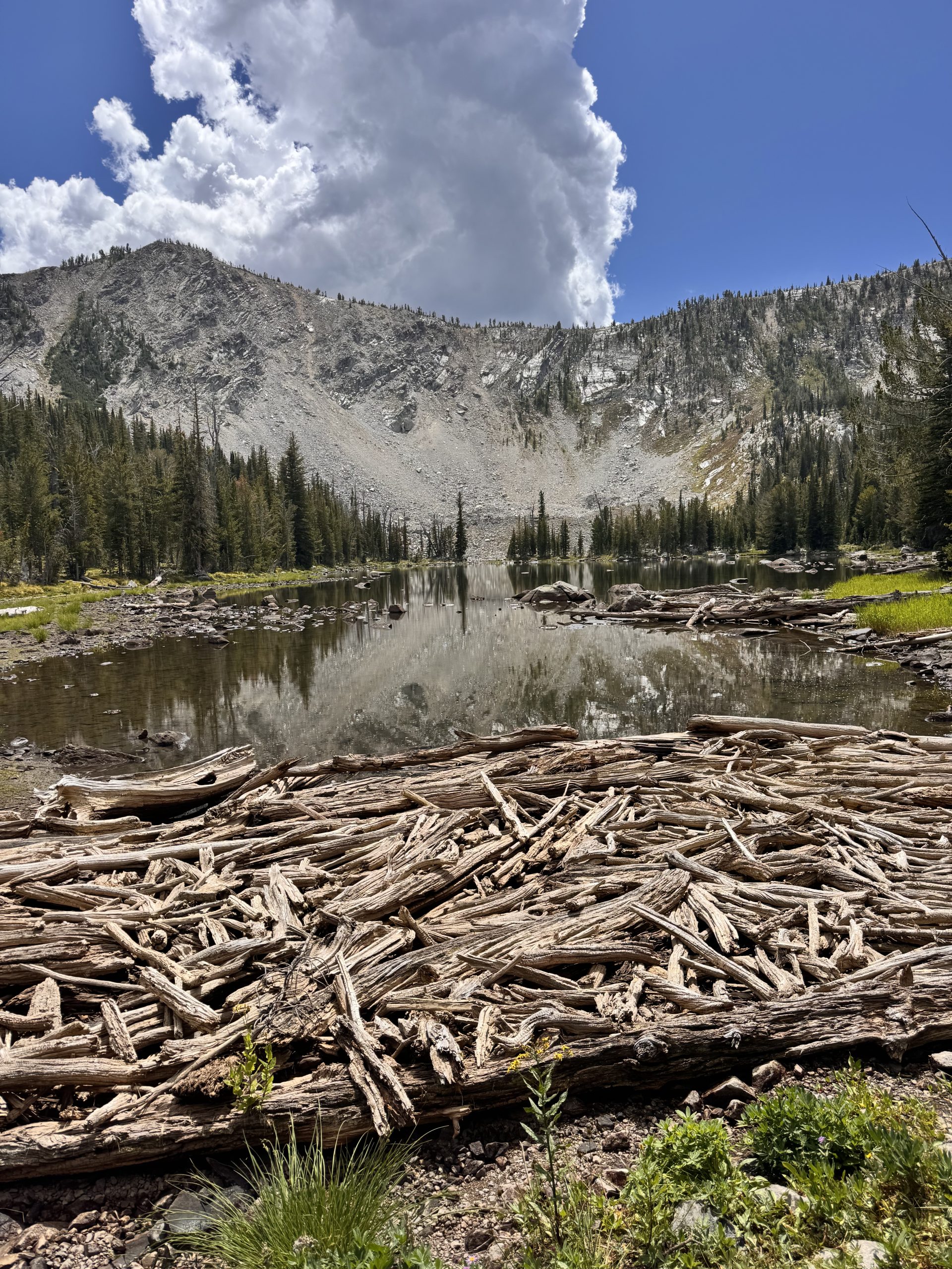
A gentle slope made for easy climbing as we crested small ridge after small ridge. Once at the top, we said goodbye to the burn and rentered healthy forest. We took a quick break in the shade, and then tackled our last 4.5 miles of the day. The trail became more rugged and rocky as we entered to Pintler’s Wilderness. We descended for about a mile before traversing the ridgeline and then eventually climbing up to Surprise Lake.
The lake lived up to its name and pleasantly surprised us with its beauty! We found a flat, shaded spot with a lake view on the north end to set up camp. After a quick dip, we cozied into our sleeping bags and enjoyed the rest of the afternoon.
Day 100: 22.1 miles/ 4,700 ft gain
Layers of yellow, orange and blue stacked over the horizon as we woke up. The air was a perfect cool temperature, and birdsong echoed between the trees. Our morning routine comensed- coffee and oatmeal, get dressed, brush teeth, pack up. We hit the trail by 7:00am, ready to take on a challenging day of miles and elevation.
The first 2 hours and 7 miles flew by, though the trail was not easy to navigate. We trekked through another burn area with significant blowdowns over the trail. Climbing over or walking around the downed trees both make for inefficient hiking and difficulty finding a rhythm. Though somehow, it didn’t slow us down at all. The smoke from the day before had cleared a bit, though we could still see the line of haze as it settled over the peaks in the distance.
After a quick snack break, we continued for another 5 miles to a stream. The trail looked identical to what we had walked through earlier in the day- steady elevation gain and loss through blowdown areas. Minus the obstacles, it was pretty easy and enjoyable walking. We filtered some water and took our “lunch” break at the stream. Lunch included some Hiney Stinger Gummies and a That’s It bar for me and a beef stick for Devin.
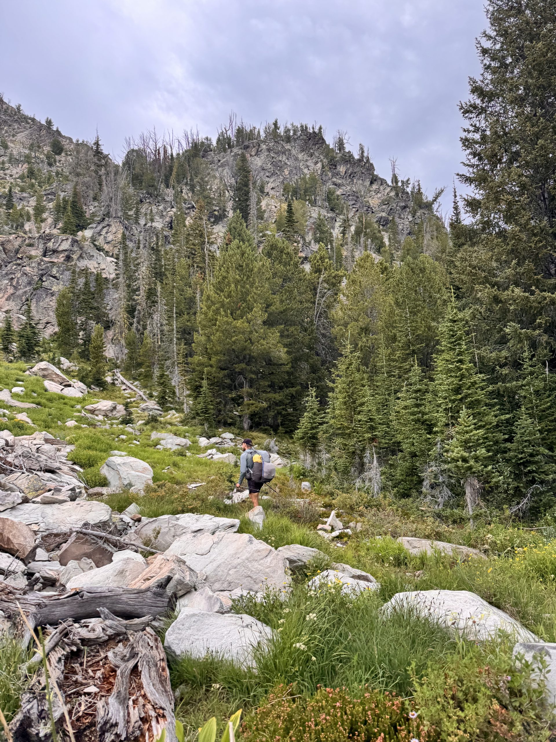
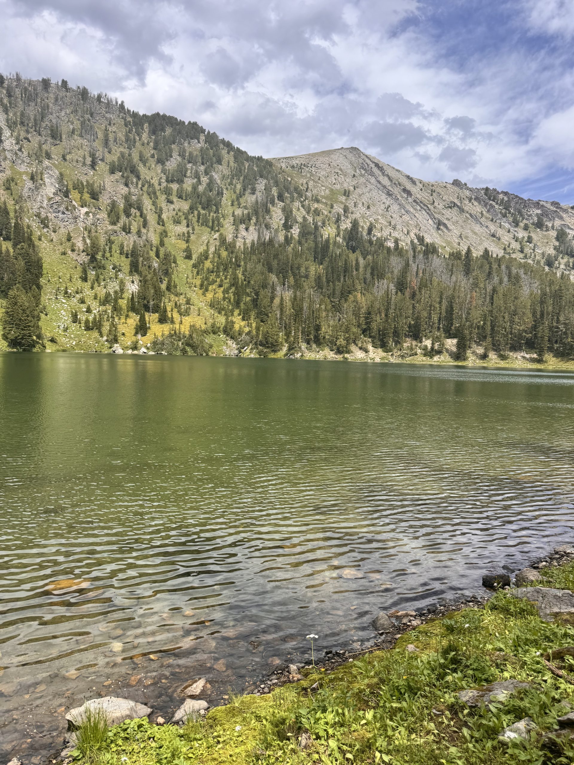
We climbed the next 4 miles up to the ridge before turning off of the CDT and down toward Saw Cabin Lake. The alternate then took us up a steep treed gully which required a bit of route finding and scrambling. The exposure was never dangerous, but was definitely there. We climbed up and over both of the saddles and made our way down a steep grassy slope to Oreamus Lake. Devin took a quick dip and reported that it was very refreshing!
After a short break, we cut back to the CDT. Once we junctioned with the trail, we had a short, but steep climb up Pintler Pass. Our legs were feeling it by this point though we pressed on to just get it over with. The view from the top showcased Pintler Peak and the lake we had just came from. It was all downhill from there and 1.5 miles of switchbacks later, we made it to our camp spot at Johnson Lake! We found a designated site along the lake shore and enjoyed the afternoon swimming and relaxing to the sounds of the small waves lapping against the shore.
Day 101: 18.8 miles/ 5,100 ft gain
Based on our rough plan for the next few weeks, this day appeared to be one of the more difficult ones in terms of elevation gain and loss in its short amount of miles. While a little anxious to get it over with, we also were excited as the Pintler’s were a range high on Devin’s list to see and we both enjoy alpine hiking. We started off our morning with each of us getting our own coffee (we had been splitting one, so this was a real treat)! After packing up, we set off at 7:00am to tackle our first climb: 1,400ft in about 2 miles up Rainbow Pass.
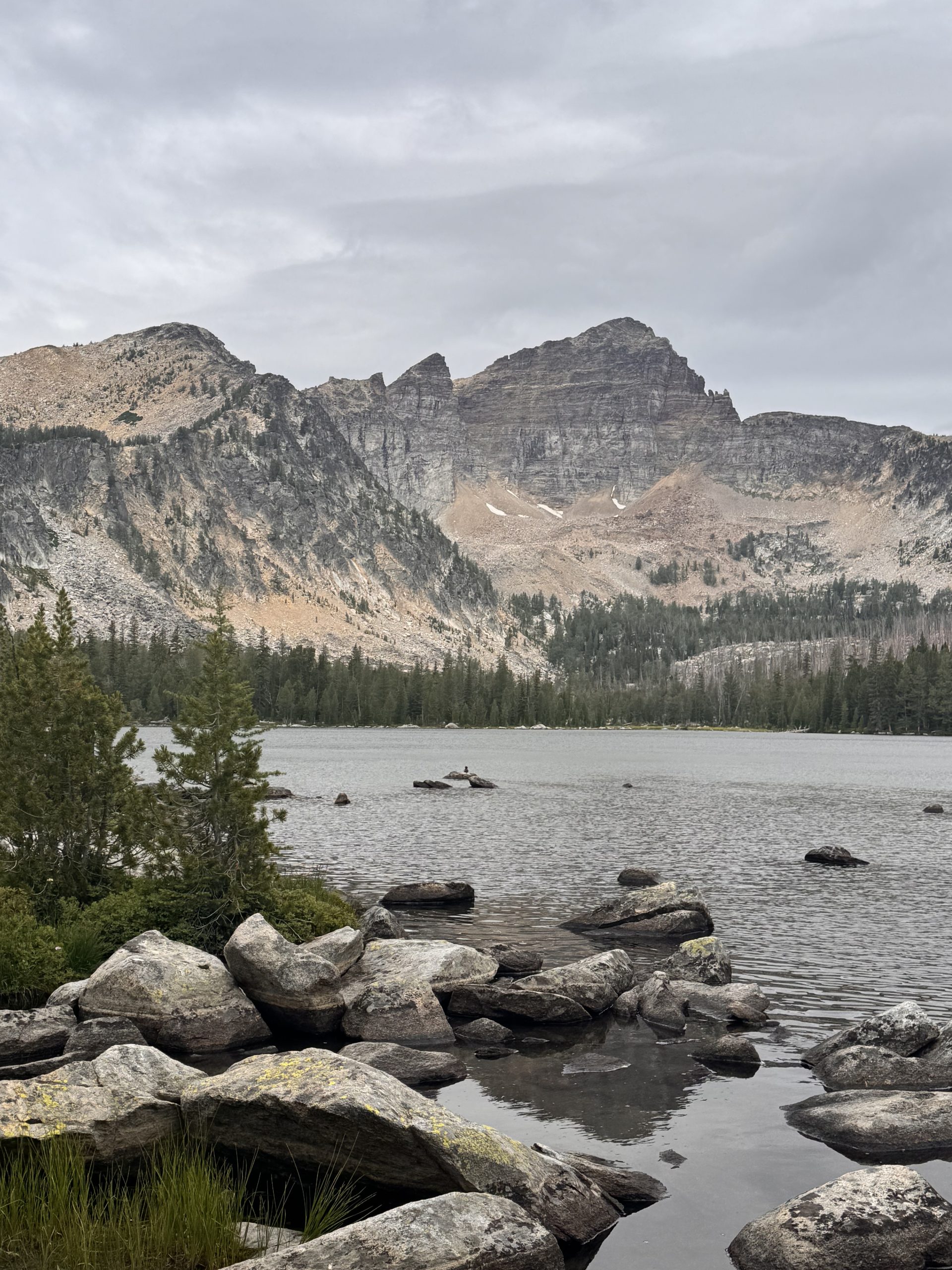
Gentle in spots, but steep in others, we traversed up the opposite side of the valley from Rainbow Mountain. As we climbed, the view opened up to the rocky layers of the surrounding peaks. We could see the pass, a little notch on the far east side of the valley, almost the entire time. Huffing and puffing, we made it to the top, but the work wasn’t done as the descent to Rainbow Lake was steep and unforgiving on the legs.
We kept descending past the lake for 3 more miles. The trail eventually became forested as we dropped. We took a break for breakfast at 9:00am, 7 miles in, with another big climb ahead of us. After 20 minutes, we started moving again. The 2 miles and 1,200ft of gain were surprisingly mellow, and we got to Warren Lake quicker than expected. Warren Lake sits at the base of Mount Warren and the view of its face is spectacular! We cruised down the switchbacks and dropped deep back down into the next valley. After crossing several creeks and admiring all of the mushrooms along the trail, we took a break at the West Fork of the La Marche Creek.
Another long climb awaited us, so we wrapped up our break around 11:10am and started up the 3.5 miles, 1,700ft to Cutaway Pass. Similar to the climb before, it was gentle all the way up. We cruised up the switchbacks and made it to the top by 12:20pm. Clouds clung to the mountain tops and the air was cool, which also helped with our quick pace. The top of the pass revealed a long trail down into the next valley and our cycle of up and down continued.
We were flying down the trail when the clouds engulfed us. Thunder crashed above our heads and it started to hail furiously. We kept trekking for a bit, but then took cover under the branches of a tree as it came down harder and harder. After the hail came the rain and it poured. We estimated that more than half an inch fell in the 30 minutes that it soaked us. The trail up the last mile was a river. We finally reached our camp spot and set up as quickly as we could with our frozen fingers. Everything was wet and cold. We zipped our sleeping bags together to huddle for warmth and waited out the rest of the storm.
Day 102: 12.8 miles/ 2,400 ft gain
The end of the storm from the day before never really came. A sleepless night with temps in the teens. The clouds hung low from the peaks and the air was thick with moisture. We woke up with a layer of ice on our rain fly, and mustered up all of our strength to get ready. Everything was still sopping wet- shoes, clothes, plants, trail, everything. It was a tough morning to get going.
Since we were planning on getting to Anaconda before the post office closed, we were moving by 6:00am. As we ascended our first 1,000ft climb, we hit snow. It blanketed the peaks at around 9,000ft so several miles of our day were spent trudging through it. Not only was it wet and cold on our feet, but the clouds socked us in with its freezing air. The wind howled around us as we crested the first pass. We ran down the switchbacks, hoping to find shelter in the trees.
Our break from the wind was short lived as we headed up our next climb. The tight switchbacks were dizzying and icy as we climbed up to Storm Lake Pass. It became a foggy whiteout on top and our only goal was to get out of there as fast as possible. Once over the pass, we dropped down more switchbacks to Storm Lake. The wind persisted, but we were able to drop out of the damp clouds and snow.
Since we were freezing, we decided our best bet was to access Anaconda from Storm Lake Road so we left the trail and headed down the valley. About 2 miles down the road, a truck drove up and rolled down their window. The man inside was a trail angel dropping off other hikers and offered us a ride into town! We felt like an actual angel was blessing us since it cut off a ton of miles and allowed us to get to town safely. Thank you so much, E.G!
We got into town by 10:45am, much earlier than we anticipated. Anaconda is very hiker friendly and has many amenities including a free camp spot with showers! We took full advantage of that and were able to complete our town chores throughout the afternoon using the bicycles the Hiker Hut offered us. We love you, Anaconda!
Another day, another non-restful night of sleep. I don’t know what’s been going on recently. Well, I kind of do, it’s definitely just the humidity kicking my ass. That and the constant need to wake up at 5 every day. I don’t know what’s happened, but I always need to wake up to pee, like I’m someone 40 years older than I actually am. In the woods, it’s not too bad. I usually crawl out of the tent about five feet, and can pee wherever. But the hassle of going to the bathroom (which… in most hostels… is down a set of stairs. My knees!), and then getting back into bed makes it worse in hostels for some reason. I can’t really explain it.
Anyways, someone’s probably not happy that half the time, all I do in these blog posts is potty talk. But it’s a huge part of the trail :).
Today, I also got woken up at 5 by a Southbounder asking where the coffee was. Ha… ha… ow my head. Being woken up early doesn’t help much more. But it was good to get up early anyways. The shuttle back to the trailhead’s at 7:45, and I still need to make my own breakfast.
That’s my one (small) complaint about Wise Pines, for a hostel that’s so far out of town, it’s hard to actually make sure you have enough food for your stay here. And while there is a small farmstand with bagels and stuff (which I greatly appreciated!), I felt between having to pack my pack in the pack shed, and cooking/asking trail angels for help yesterday, and then cooking this morning, I barely had time to get ready. Though, that’s partially my own fault. I could just be more prepared! Otherwise, I had a great night. The space itself was super comfortable, and Chelsea was a great host.
I ate some berries and drank coffee on our way back to the trailhead, where I asked Chelsea a bit about her hike. When she did it in ’17, she did it with a tramily of 12, and sometimes a baker’s dozen! I think about that when I contrast it with my own hike, where I think I’ve slept alone more often than not from Pennsylvania onwards. She actually said if she did it again though, she’d also be in a smaller group. It made me miss having a consistent hiking partner. More on that in a bit.
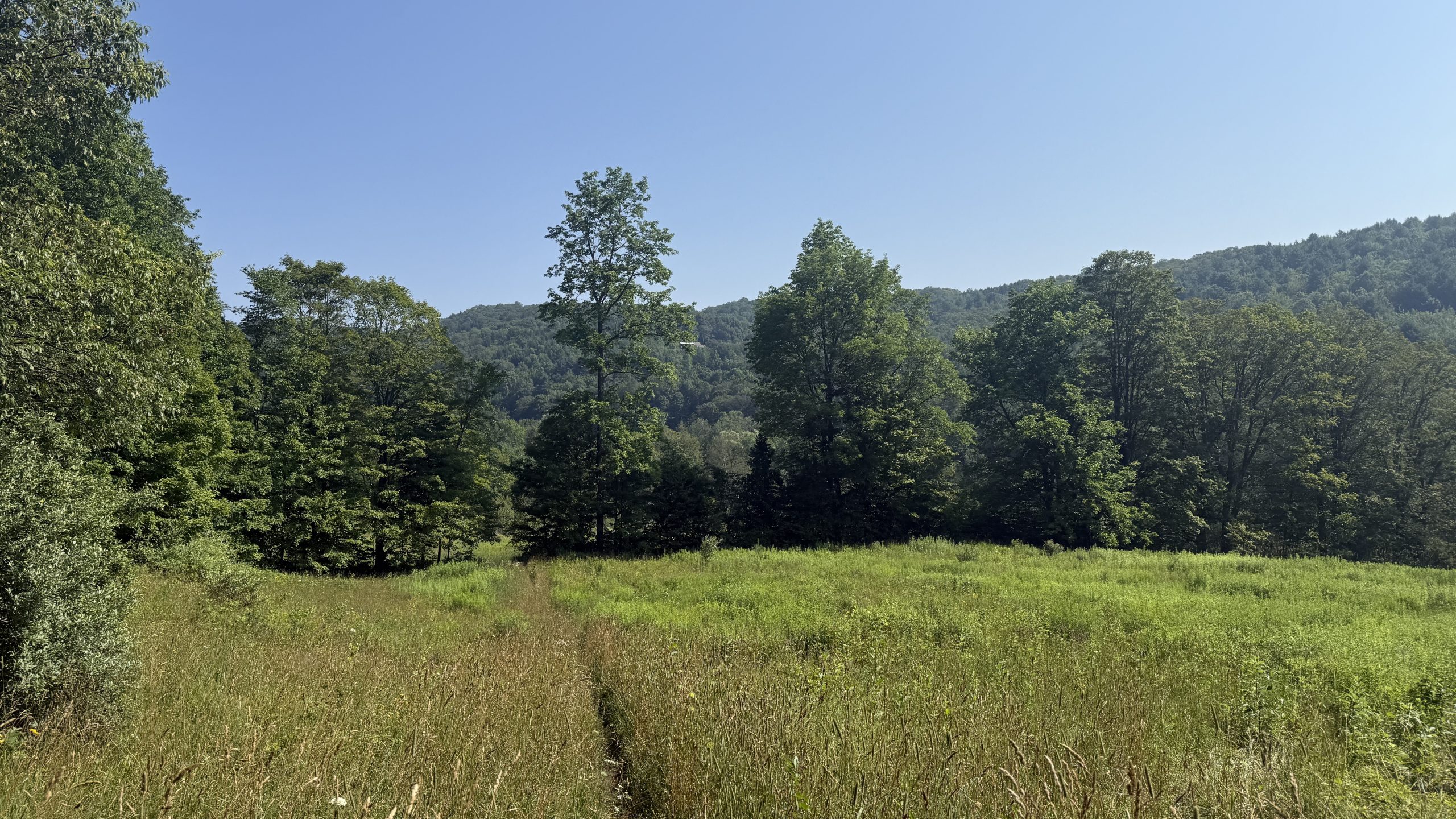
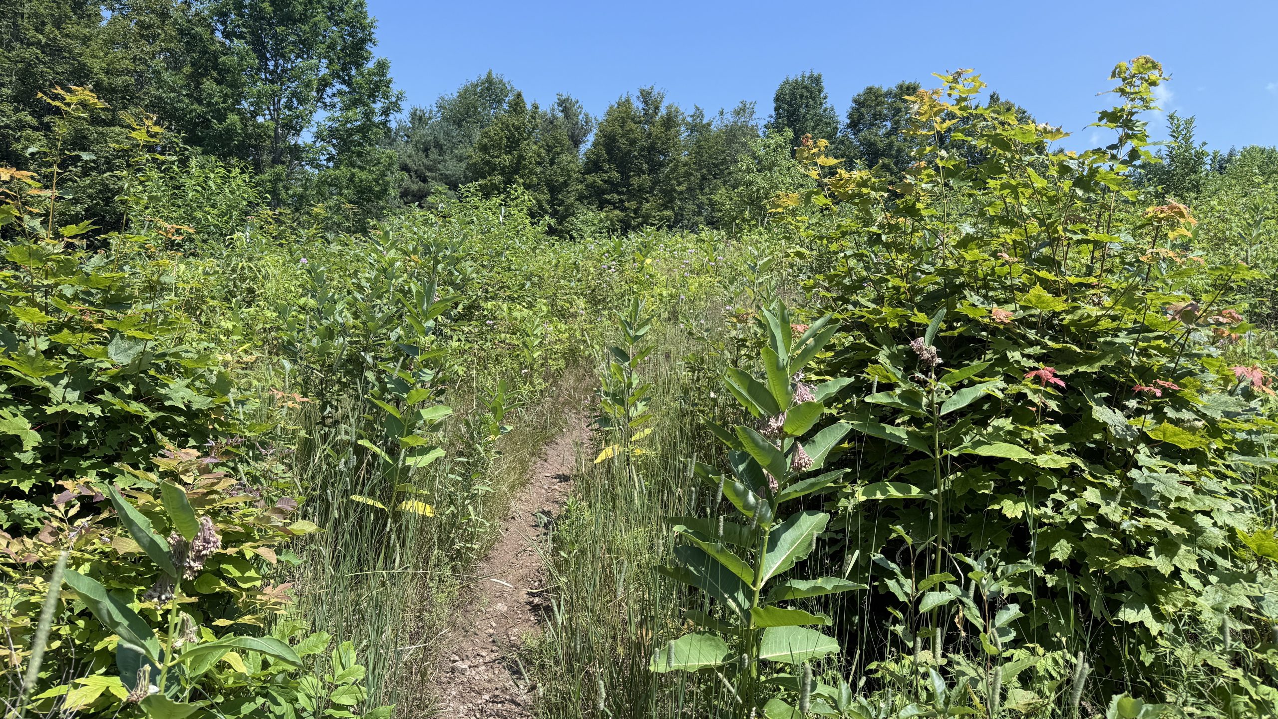
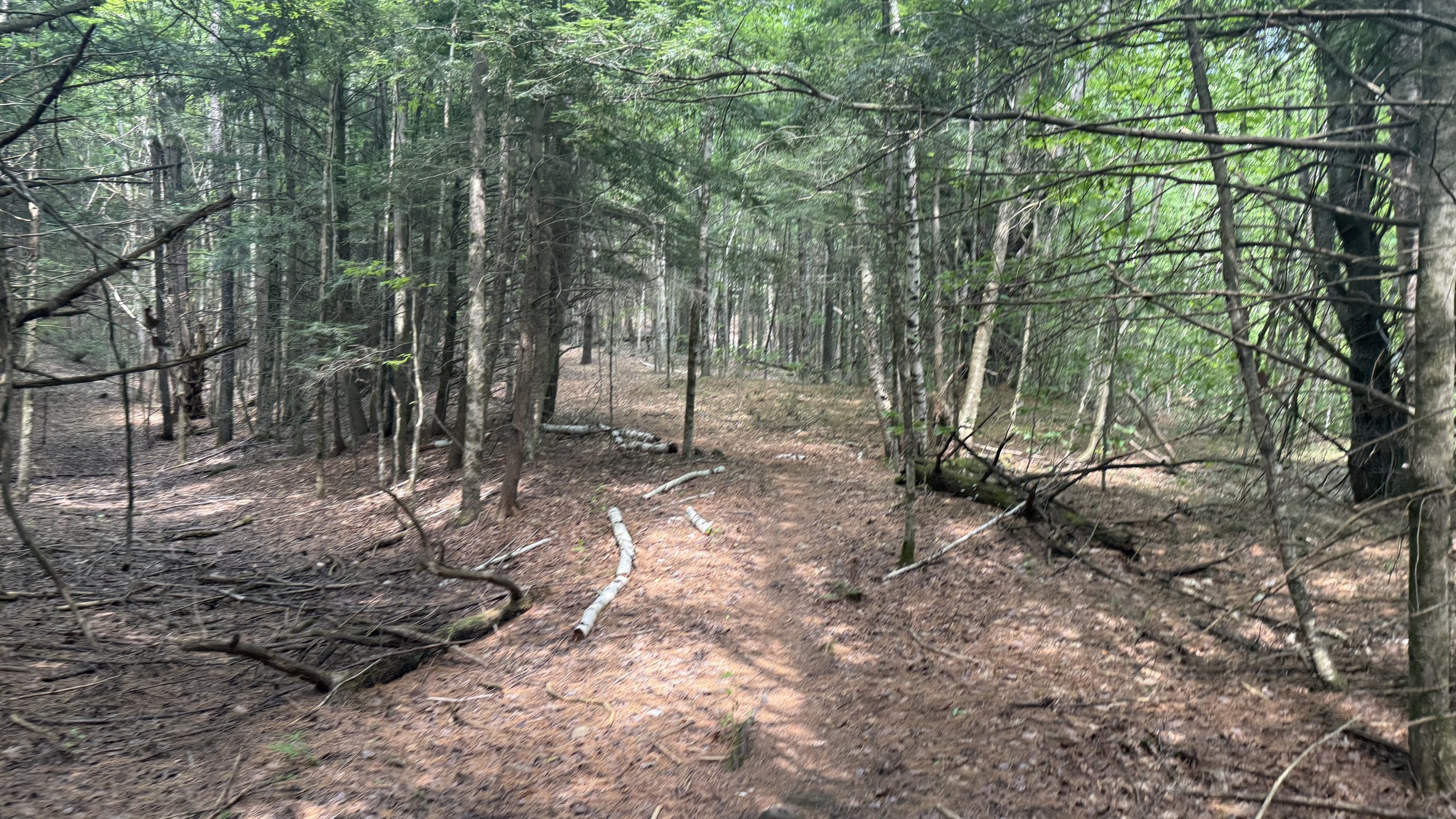
I have a theory that no one, not even the good ol’ Green Mountain Club, gives a s@#$ about the AT section that doesn’t coincide with the Long Trail. This could be because of conditions, but it felt like the hiking today was terrible, and not because of elevation gain, or mountains, or anything of the sort. No, it was just because I had to wrestle with suboptimal trail conditions for a lot of the day. Tall grass, unmarked paths, no views, and a sweltering heat. Electrolytes and water only did so much to cut through the rapid dehydration I was always experiencing, and just… the feeling of being wet. This is my last day in Vermont, and the only thing I can really say is I think this state actually might rate near the bottom half of my list when all is said and done.
There’s also just infinite bugs everywhere in Vermont. Even with DEET and a headnet, I still feel like I’m constantly swatting at bugs, and feeling phantom “pricks” all over my body. Every break where I try to eat feels like I’m the meal, not the sandwich I have. My feet are also just giving out. This late in the game, I don’t think most human bodies were meant to do this much. With adequate rest, I think that this amount of exercise could actually be good. But even now, if I took zeroes every other day, I don’t think the training I did before this (which would’ve been the last four months of hiking…) would actually be that productive, given how little rest I’ve had on the way through.
There were a few good things today, there were tons of raspberries on the trail! If I was a week behind, I think I’d be having a veritable feast, but I was still having a great time picking berries everywhere and enjoying them. I also checked FarOut to another pleasant surprise… I saw some comments from Stevie Wonder! Stevie’s another blogger I met at Wood’s Hole who’s doing the ECT this year. He was way far ahead of me until he needed to take 2 weeks off trail, but I’m happy to see him back on and out here again.
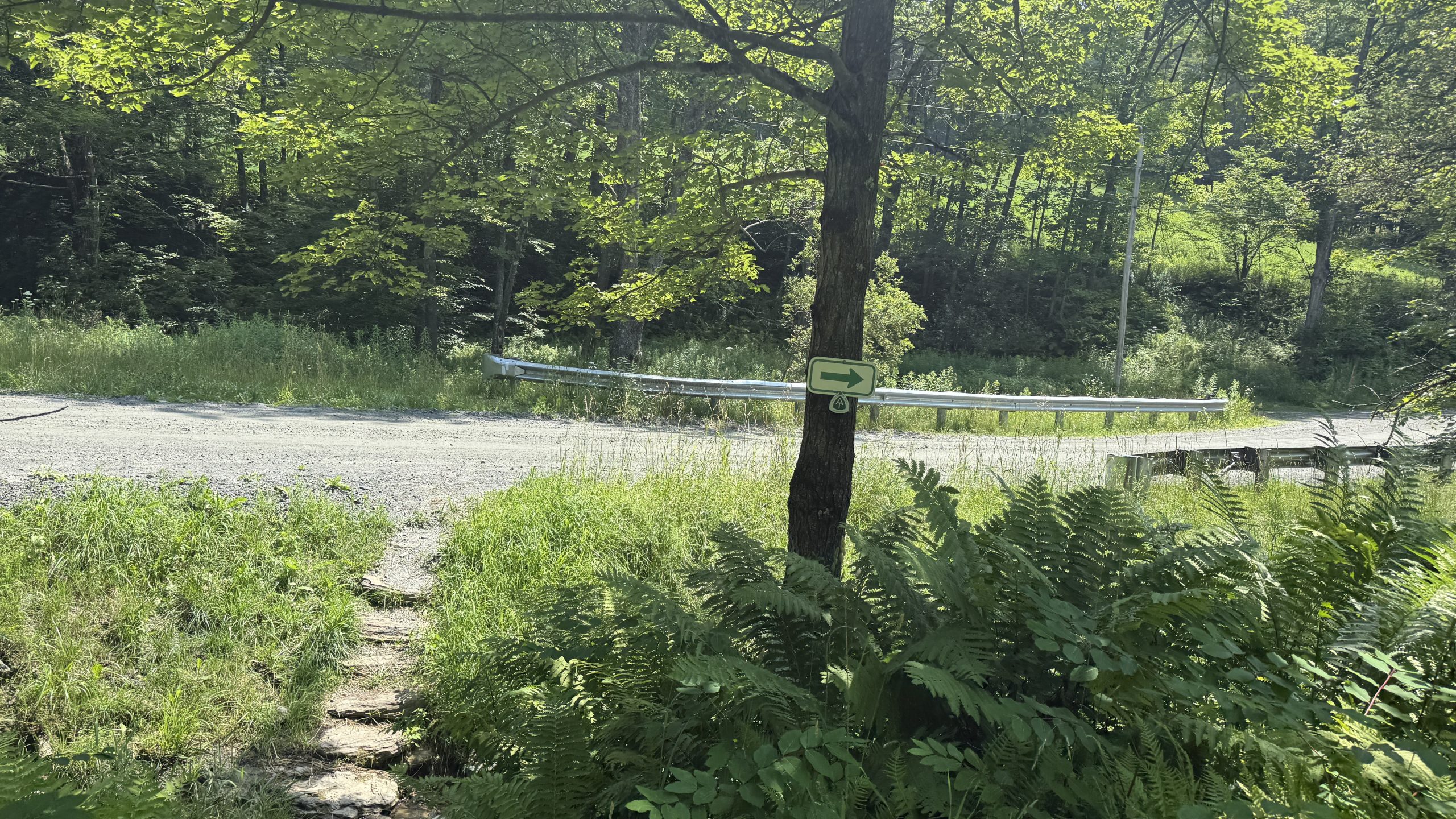
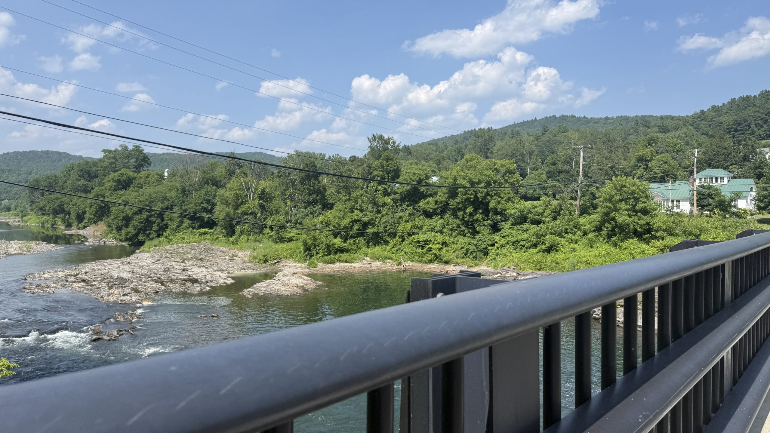
After a bunch of ups and downs, I started the long road walk into West Hartford, a town with… basically nothing in it. There’s nowhere to stay, other than tenting at trail angels, and there’s a library… and that’s about it. There’s also a bridge that people love jumping off of, but to be honest, I’m not a big fan of jumping from bridges. Call me a wuss or something, but I’ve had enough of that in my life.
While here, I ran back into Cosmo and Tallboy, who I met in Duncannon, and Warwick. You might ask “if you keep seeing them, why not hike with them?” Well, they’re doing a much different hike than I am. While they tell people of what they’ve hiked, the honest truth is a tale of yellow blazing. For those unfamiliar with the “coloured” blaze system, we all know that there are White and Blue blazes on the AT. White means you’re on the trail proper, blue means you’re following some sort of side path, usually water. Yellow blazing in this case is either roadwalking, or just straight up hitchhiking/shuttling ahead, while claiming those miles. For me personally, that doesn’t fly. I signed up to hike in the Appalachian MOUNTAINS, not the Appalachian roadways. You could even call me a “purist,” though there was one blue blaze I took for fun instead of the “regular” path (way back in Shenandoah). I don’t mind the yellow blazing too much… but the part I do mind is the constriction of resources for hikers. Those who can skip miles or guarantee where they’re going to be a week ahead can nab hostel/trail angel spots much earlier than I can. This actually will bite me in the butt later today, unfortunately.
The other part I just mind is lying about the mileage, or what you’ve done. But that’s for a different day. I just wish that if people were going to skip, they’d skip ahead of me haha. Like Leo did.
Then again, Hike Your Own Hike. Maybe I judge too deeply. We’re doing different things. But I’m no saint, and if you’re reading this, well, you’re looking for insights into my thoughts. So there they are :).
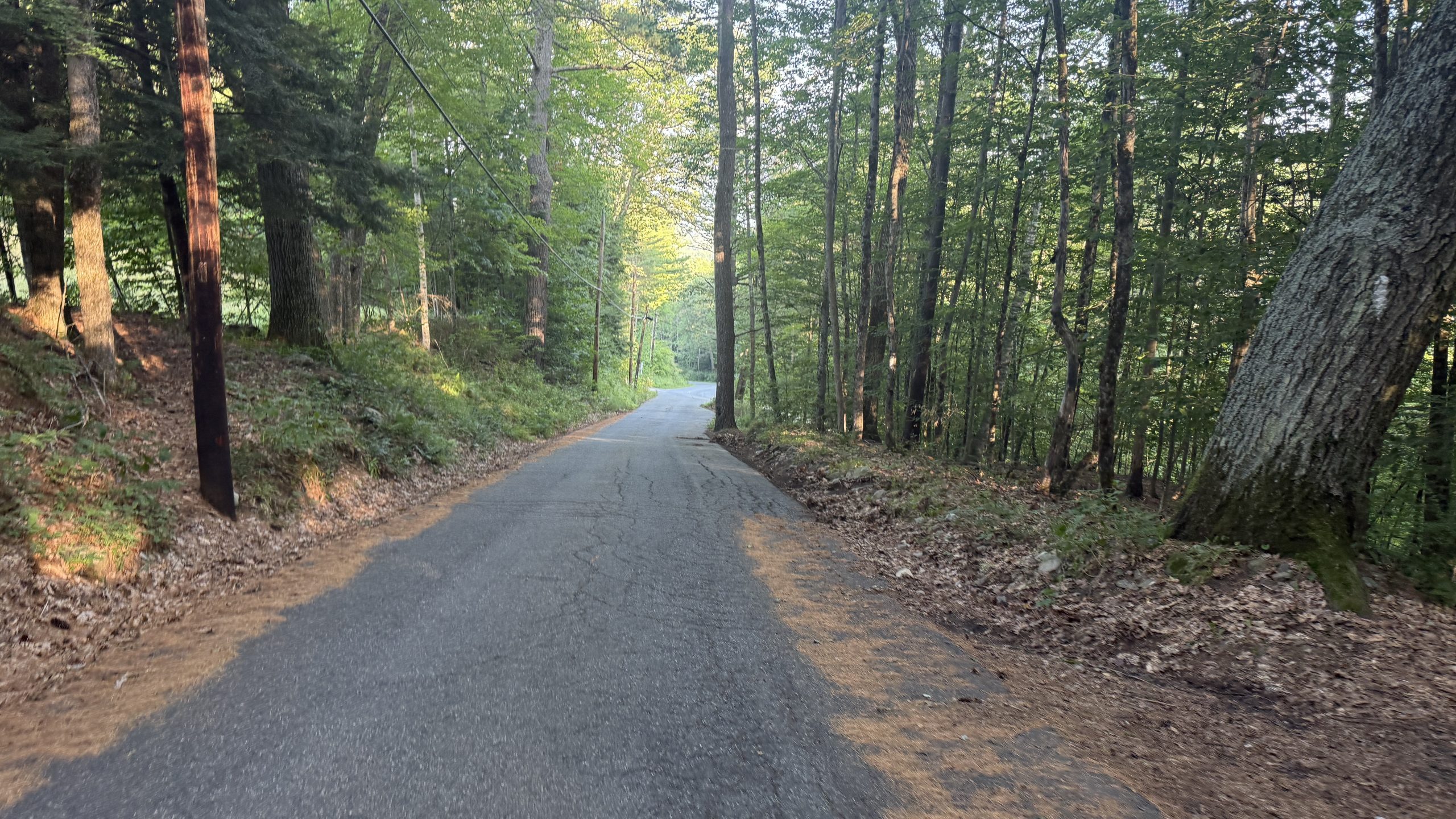
Anyways, the library was a nice reprieve in Air Conditioning. I stocked up on some nice ice cold water, and then hiked up back into the mountains in some sweltering heat. During this, I ran back into Away! I met him at Duncannon when he was taking a zero, and he’s relatively pure. I think as I took time off with friends and family, he’s caught up, but he’s not in the best way either. He was limping around, trying to combat his own fatigue. Apparently, he thinks he’s come down with a case of Lyme Disease. Which… also made me start worrying, maybe I have it too? I’m a bit of a hypochondriac to be honest, and so suddenly I was thinking back. Am I fatigued because it’s hot… or because I have Lyme? Should my knees hurt this much? Who knows…
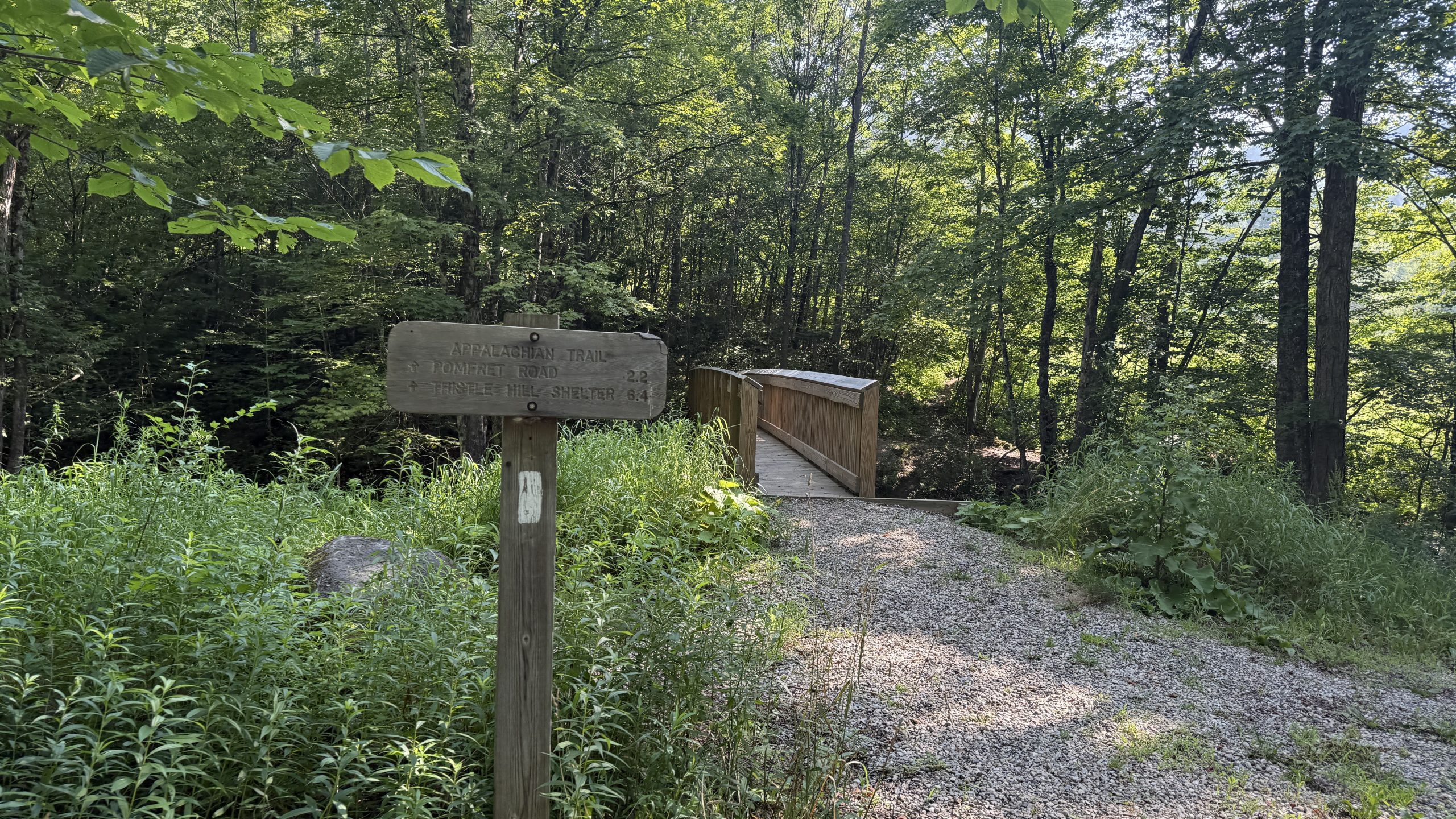
I rolled into town decently late, just given how my body’s been failing me again. Near the end of long days, no matter how much I eat, I need to take constant sit breaks to feel ok to walk again. No matter how hard I try, every step feels heavy. It just feels like I can’t control my body. So at 7, I rolled up to the St. Barnabas Church in Norwich, VT. In Norwich and Hanover, there aren’t any hostels. It’d be too expensive to operate them in the area. Instead, there’s a network of trail angels that allow people into their houses. I actually contacted all of them, but all of them were booked for the night! So instead, I slept in the church basement, and while it was great (they have blueberry bushes outside!), it didn’t feature a shower. And I was SWEATY. Ew.
At the very least, I was able to order some pizza, and wash up my legs in the bathroom sink, though my body was sore the whole time trying to navigate up to the bathroom, and then out to get some pizza. I ate as much as I could, but also felt sick while doing it. I just don’t do well with eating lots. Mentally, that is.
I’m starting to get scared that my body’s not going to hold up for this journey more than anything. And that’s the last thing I expected. I’m hoping New Hampshire, of all things, saves me.
(also, to assuage the fears of readers who think that my body won’t hold… I’m in Maine now! So clearly I’ve done something right since then…)
(title lyrics from: Road to Hell II, Hadestown)
-

 Brand Stories3 weeks ago
Bloom Hotels: A Modern Vision of Hospitality Redefining Travel
-

 Brand Stories2 weeks ago
CheQin.ai sets a new standard for hotel booking with its AI capabilities: empowering travellers to bargain, choose the best, and book with clarity.
-

 Destinations & Things To Do3 weeks ago
Untouched Destinations: Stunning Hidden Gems You Must Visit
-

 Destinations & Things To Do2 weeks ago
This Hidden Beach in India Glows at Night-But Only in One Secret Season
-

 AI in Travel3 weeks ago
AI Travel Revolution: Must-Have Guide to the Best Experience
-

 Brand Stories1 month ago
Voice AI Startup ElevenLabs Plans to Add Hubs Around the World
-

 Brand Stories4 weeks ago
How Elon Musk’s rogue Grok chatbot became a cautionary AI tale
-

 Brand Stories2 weeks ago
Contactless Hospitality: Why Remote Management Technology Is Key to Seamless Guest Experiences
-

 Asia Travel Pulse1 month ago
Looking For Adventure In Asia? Here Are 7 Epic Destinations You Need To Experience At Least Once – Zee News
-

 AI in Travel1 month ago
‘Will AI take my job?’ A trip to a Beijing fortune-telling bar to see what lies ahead | China
You must be logged in to post a comment Login