Connect with us

Destinations & Things To Do

Best Adventure Activities for an Adrenaline-Fueled Holiday in South Africa

Published

on


Many travelers visit South Africa for its diverse safari experiences, but the country offers plenty of other adventure activities, too.

South Africa’s 1,740-mile coastline is dotted with world-class locations for wind- and watersports, while its interior’s stunning mountains, valleys and forests boast exceptional hiking, biking and ziplining opportunities. Adventure-seeking clients won’t be disappointed with this selection of exhilarating outdoor experiences across South Africa.

Canoeing and Kayaking

The lush Garden Route National Park, located a five-hour drive east of Cape Town, is the place to go for canoeing and kayaking. Within the vast park, Eden Adventures arranges canoe rentals and guided canoe tours along the Touw River, which can be paired with a short hike through the forest to a beautiful waterfall. Farther east in Tsitsikamma National Park, Untouched Adventures offers invigorating kayaking tours that venture deep into the sensational Storms River Gorge. If your clients can’t make it that far, Cape Town Kayaks has guided kayaking tours around picturesque Hout Bay.

Untouched Adventures kayaking tour in Tsitsikamma National Park
Credit: 2025 Untouched Adventures
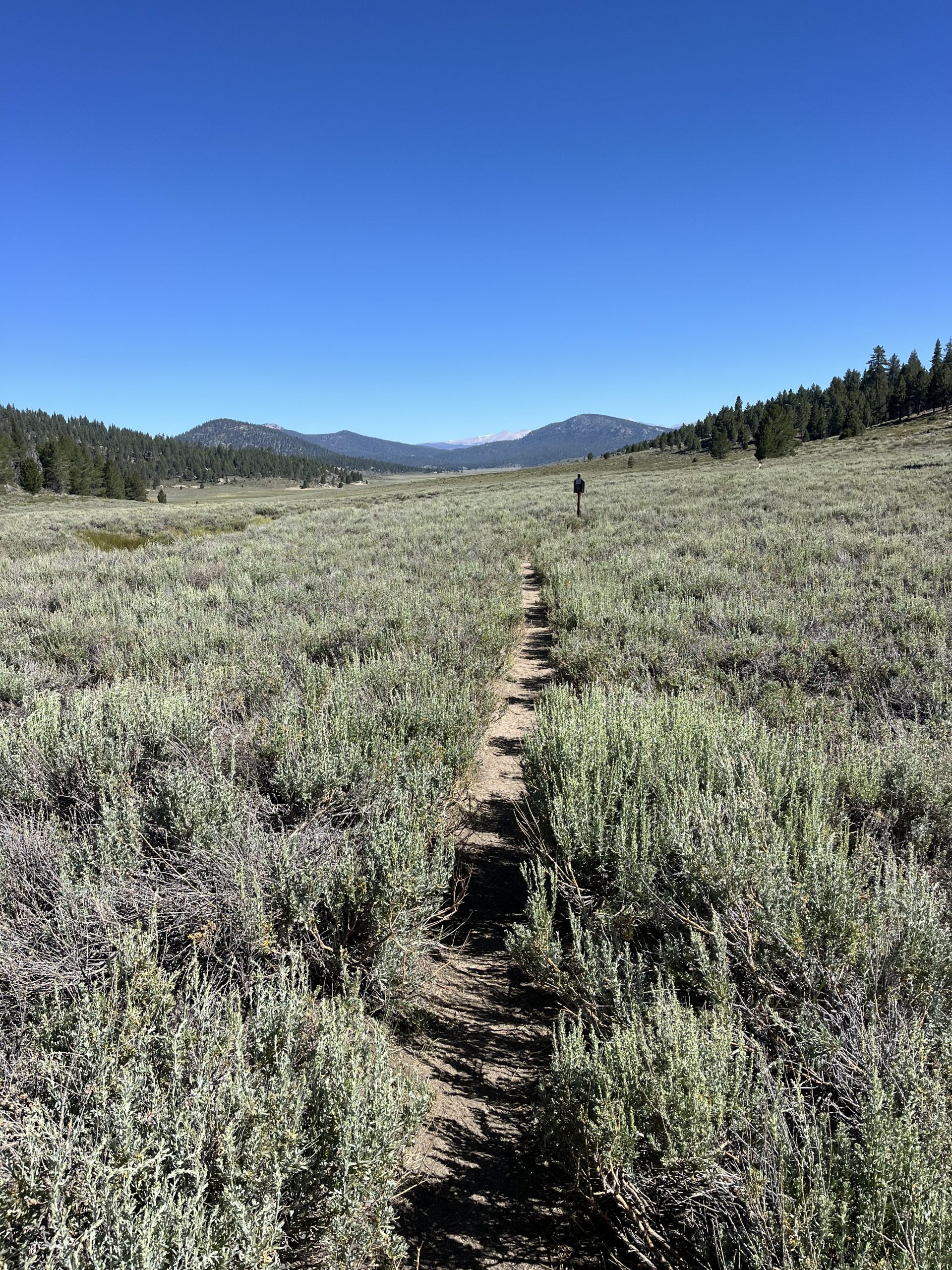
Hiking

Visitors can savor South Africa’s incredibly diverse landscapes on hikes lasting anywhere from an hour to several days. The dramatic Drakensberg mountains, found in the northeastern KwaZulu-Natal province, are crisscrossed with hiking trails ranging from family-friendly routes to multiday adventures for serious hikers. Drakensberg Hiker can assist with arranging a guide and tented accommodations for hikes along the route.

Guided hiking on Table Mountain
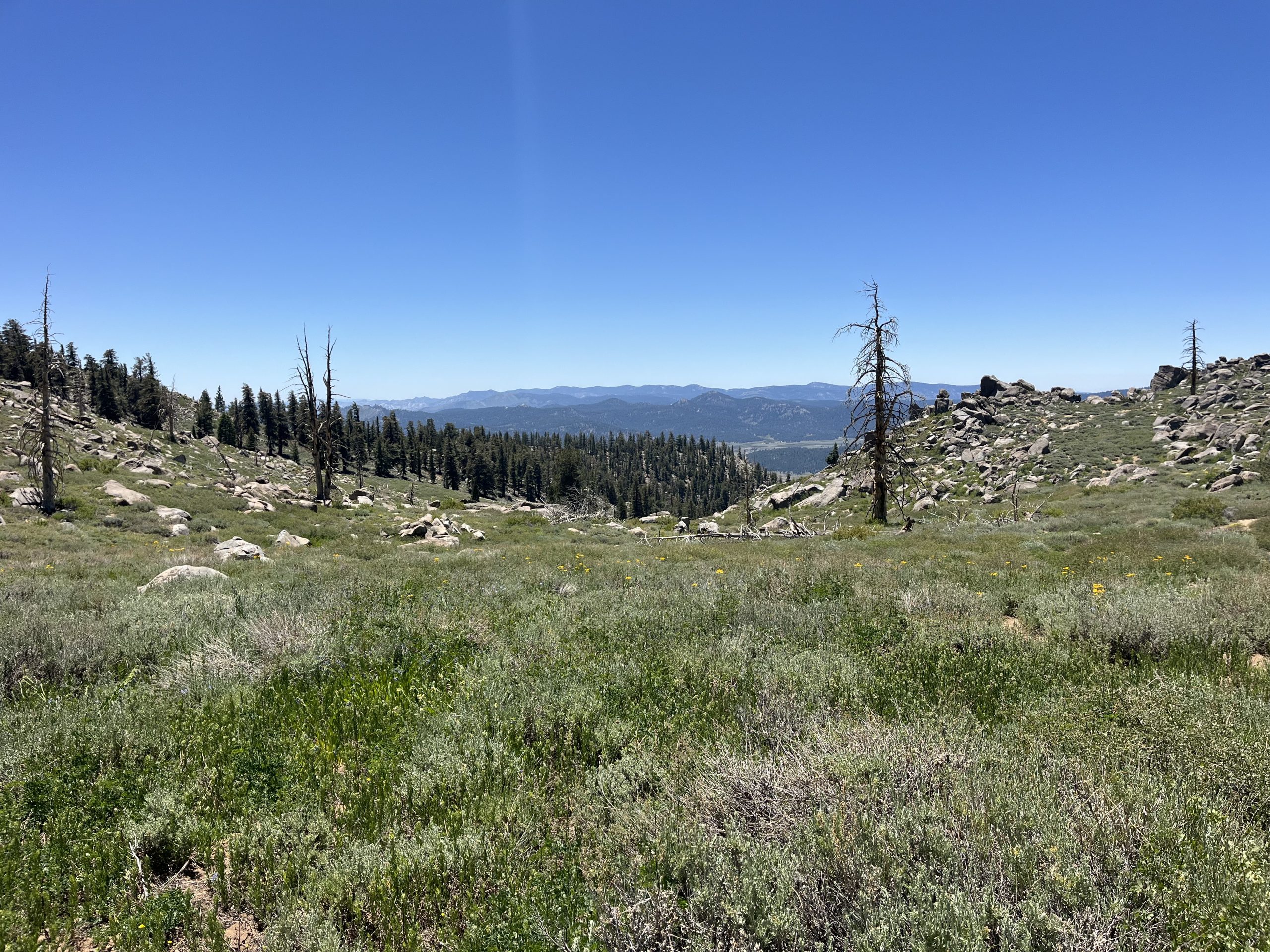
Credit: 2025 Hiking Tours Cape Town

The Western Cape province’s Cederberg Mountains, located some 120 miles north of Cape Town, have dozens of hiking trails through windswept plains filled with otherworldly rock formations. These trails are suitable for all levels and last from an hour to a full day.

RELATED: Review: Abercrombie & Kent’s Southern Africa Safari & Rail Adventure 

Garden Route National Park also offers a range of hiking experiences through forests and along coastal trails that feature sweeping views of the sea and rugged cliffs. The most popular hike is the five-day Otter Trail, which requires a medical examination certificate and advance reservations.

Clients can also do day hikes within the Cape Town area, such as on Table Mountain and Lion’s Head; advisors might arrange a guide for hikes in both locations through Hiking Tours Cape Town.
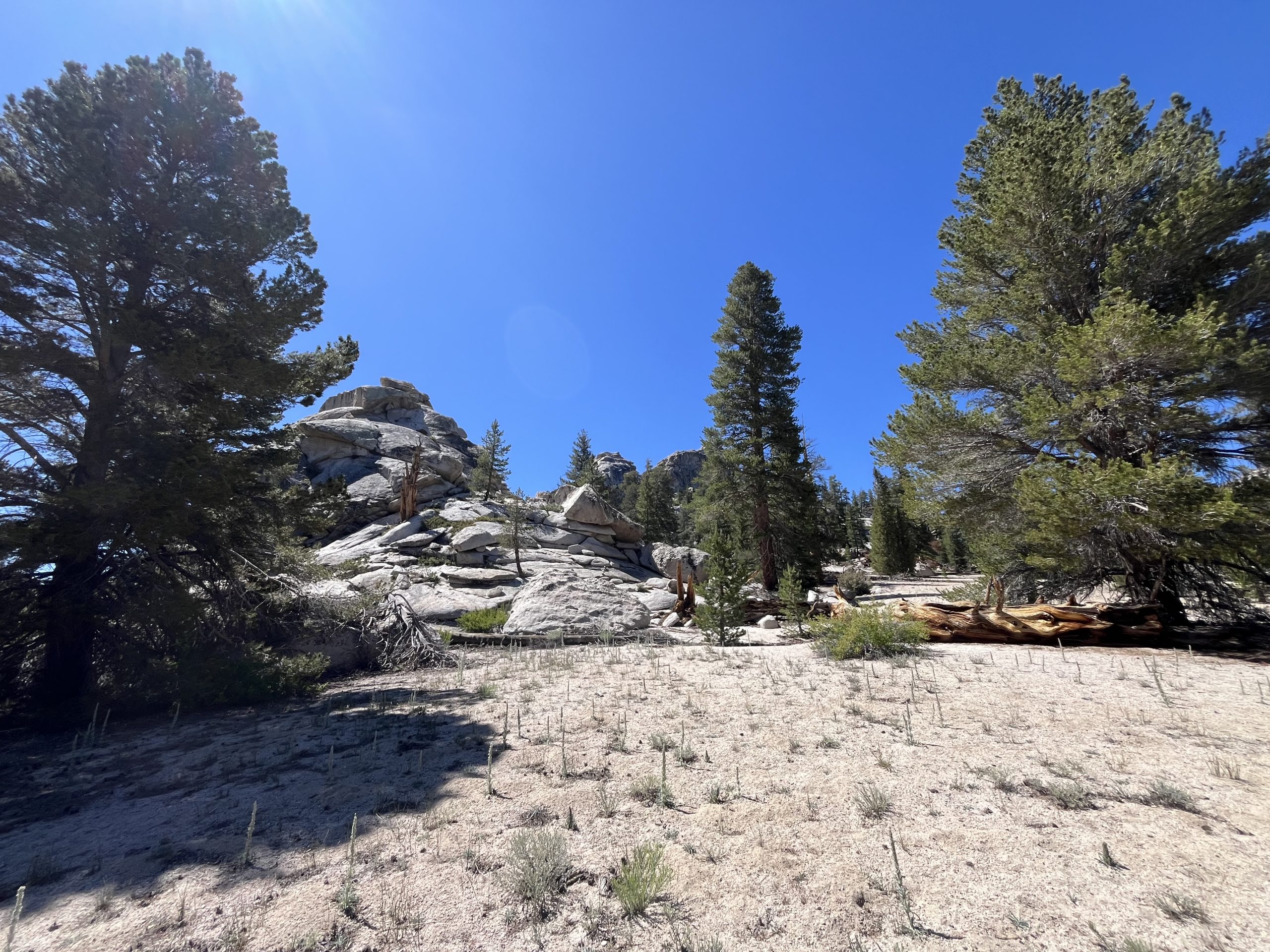
Biking

There are some great biking trails across South Africa and for all levels. Serious mountain bikers will love the challenging trails in the Drakensberg and Cederberg mountains. Mountain bikers visiting Durban can get their fix at Giba Gorge mountain bike park, while those heading to Johannesburg might like the Braamfontein Spruit mountain bike trail. For day rides around the Cape Town area, iRide Africa can assist with rentals and itineraries. Alternatively, Bikes ’n Wines organizes more leisurely rides that combine guided cycling through the vineyards of the Cape Winelands with wine tasting.

Private guided mountain biking tour
Credit: 2025 iRide Africa

Ziplining, Canopy Tours and Bungee Jumping

In business since 2001, Canopy Tours was the first company to offer ziplining treetop canopy tours in Africa. Its flagship experience takes brave travelers soaring through the ancient Tsitsikamma forest at heights of up to 100 feet. It has six different sites across South Africa, including in the Hottentots Holland Nature Reserve near Cape Town, and another in the Drakensberg mountains.

RELATED: Review: Exoticca’s Cape & Kruger Explorer Tour in South Africa 

If these experiences weren’t exhilarating enough, South Africa is home to the world’s longest zipline. Located an hour’s drive from Cape Town, the 2-mile-long zipline at SA Forest Adventures takes courageous travelers flying over the Caledon countryside at speeds up to 90 miles an hour. The company has shorter (yet still exhilarating) ziplines on the edge of Cape Town as well, in Knysna and Mossel Bay. If clients are more interested in daring heights, they can head to Garden Route’s Bloukrans Bungy, South Africa’s highest bungee jump, which descends 700 feet over the Bloukrans River.

Shark Cage Diving

The most heart-pumping of South Africa’s adventure activities is arguably shark cage diving. A leading destination for the activity is off the coast of Cape Town. With nearly 30 years of experience, Apex Shark Expeditions organizes year-round half-day trips for small groups; participant safety and respecting marine life come first. After a 30-minute boat ride to a strategic spotting location, clients will be able to see sharks straight from the boat while they work up the courage to descend into the waters within a galvanized steel cage for a close encounter with sharks, dolphins and schools of fish.

Windsurfing, Kitesurfing and Surfing 

Kitesurfers in the Langebaan Lagoon
Credit: 2025 Lily Heise

South Africa’s windy west coast is ideal for kitesurfing and windsurfing. Kitesurfers from around the globe gravitate to Bloubergstrand, just north of Cape Town — especially in November and December, when the beach hosts the Red Bull King of the Air competition. The turquoise Langebaan Lagoon, some 80 miles north of Cape Town, is another popular kitesurfing spot. Coastline Kitesurfing offers lessons in both places. A little farther north, the wide bay of the pretty seaside town of Paternoster attracts both kite and windsurfers.

RELATED: Advisors Can Win a $30,000 Safari Through New African Travel, Inc. Booking Incentive

South Africa’s best surf spots, meanwhile, are mostly located on the south and east coasts. Within the suburbs of Cape Town, Muizenberg Beach is the country’s original surfing spot, where beginners and intermediates can take lessons or buy equipment at Gary’s Surf School. The Eastern Cape province town of Jeffreys Bay is one of the top surfing locations in the world, attracting intermediate and advanced surfers from May to September (clients can hang ten with Jeffreys Bay Surf School). While the warmer sub-tropical waters around Durban offer year-round surfing for all levels, beginners can learn the ropes at Xpression surf school.


Source link

Destinations & Things To Do

On My Own… – The Trek

Published

on


One of the funniest things Daniel asked me today is “how do you get 1000 words in a day about… walking?” To be fair, it’s something I think about sometimes too. That’s right dear reader, I’ve been thinking about your experience with these. After all, they’re delayed by about three weeks (thanks to me wanting to maintain the veneer of a “daily” schedule, while slowly sometimes falling behind), so there’s no actual “following alone” with my journey. I’m also afraid that they’ve almost become formulaic. Gone, are the Damascus days of terrorizing small town karaoke, replaced by “walk, walk, walk.” I hope the posts aren’t drying out! Though, from the feedback I’ve been getting from comments, it seems as if people are still enjoying these. So, thank you. Thanks to how clunky WordPress mobile can be many times, I don’t respond to comments often, but I do read each and every one.

I noticed again today how much more efficient I was getting up and out of camp than he was today. Was that how I moved at the beginning? Probably worse. Daniel’s base fitness is probably higher than mine going into this (remember, it was winter, and I had a bout of COVID about three weeks before the trail, knocking out a lot of the progress I had while training), and he did properly pack one day of food, unlike my 5 day food carry I had at Springer. Still, it’s impressive his hiker hobble isn’t terrible.

We made the quick descent into Kent, battling the humidity of the day. Though it wasn’t as bad as yesterday, it’s still quite muggy out! For some reason (I think from a Kyle Hates Hiking video), Kent is associated with being kind of a more expensive town for hikers, and while that’s probably true, there isn’t a pressing desire to stop here. Especially with the local hiker hostel gone, and with another relatively close, but much friendlier town in Salisbury on the horizon. We stopped at Wilson’s Cafe for some breakfast and coffee, and I packed out a Pulled Pork Banh Mi. Pulled out at 9 which, while later than I wanted to, wasn’t too bad.

We hiked for a good bit today again. Daniel at first wasn’t even sure if he’d be able to make it out of the shelter, but after getting moving, he felt good, and given how easy a big chunk of today would be, agreed to leave near Cornwall. So… up, up, and away we go! The trail here still follows an alternate that was set out in 2023 due to some flooding, and, like all alternates, made the trail even harder than it already was. Look, I get it trail clubs, you want to maintain the “mountain” feel of the trail. But if it’s an alternate, either make it a permanent feature of the trail (with proper design and maintenance), or let it be a road walk! I don’t think many would mind.

After a few ranges, the trail follows along on the Housatonic River for a bit. It smelled kind of salty, so I guess it’s just a large outflow that eventually goes to the ocean, like the Hudson? I don’t know. All I know is we had about four miles of nothing but flat. And flat. And flat. At least Daniel and I could talk about our various ski adventures (and mishaps. Mostly mishaps. I’m also terrible at skiing). I stopped for a quick bite, and then we disappeared into one last pointless Up and Down for him. At the road to Cornwall, we said our goodbyes, and I continued on.

I won’t lie. For no reason again, I’m worried about scheduling. Mostly because the plan I had leaving Greenwood Lake was put into jeopardy by the zero I took in Fort Montgomery. Oh well. Adapting is important! I was worried about friends not being able to get to me and then I remembered. I’m walking, they have a car. What I do in a day they can do in an hour. So if I don’t make it somewhere, I don’t make it. C’est la vie.

The enemy of the day is stairs. Big stairs that go down. They took out all of the resilience my feet had (not that they had any, I think they’re just getting worn down with trail). I don’t know how these calendar year triple crowners do it. I feel like a car that desperately needs to go in for repairs, but has to keep running.

Without Daniel around, the monotony of the trail started to get to me again. The isolation did finally give me time to journal (by dictating into my phone), and some other vain chores, but after that I was left with… thoughts of how little I looked forward to hiking now. But I’m in New England. I’m committed to this now.

While I was hiking, I heard a buzzing noise in the distance, and was scared for a sec of running into a hornet’s nest or something. Turns out… it was just a guy with a weed whacker of some type! His name’s Whitecap, and he’s a trail maintainer for the AMC. He gave me some oreos, and asked me how the trail conditions were. And honestly? The AMC gets a lot of flack, but one cannot deny that the trail has been groomed super well. Other than the one spot by Kent. But no blowdowns, or even branches on trail! He’s proud of his work, and he should be.

The last four hours of my day, I could feel my pace flagging. The feet were tired. The legs are tired. The everything is tired. And yet I still had miles to go. Originally, I wanted to make it to Belter’s Campsite, but Whiitecap let me know that there were actually a good number of people ahead of me. So, I just decided instead to call it at Sharon Mountain. Plus, there’s guaranteed water here, something that isn’t at Belter’s. I wouldn’t want to start the day dry.

Here, I met Speedy and Tie-Dye. The latter was going to be early, but the former and I talked for a bit. He’d hiked the PCT before, and was just trying the AT now. “Trying,” I say, but he also hiked here from Georgia. We both talked a bit about trail burnout, before calling it a night.

I’m just tired man… It’s a long trail. And there’s a lot more to go.

(title lyrics from: On My Own, Les Miserables)

Affiliate Disclosure

This website contains affiliate links, which means The Trek may receive a percentage of any product or service you purchase using the links in the articles or advertisements. The buyer pays the same price as they would otherwise, and your purchase helps to support The Trek’s ongoing goal to serve you quality backpacking advice and information. Thanks for your support!

To learn more, please visit the About This Site page.


Source link

Continue Reading

Destinations & Things To Do

Thailand Sees Record Influx from China, Malaysia, South Korea, Japan, Singapore and More with Bangkok Pattaya Phuket and Hat Yai Leading as Top Destinations in 2025: New Report You Need to Know

Published

on


Friday, July 18, 2025

China, Malaysia, South Korea, Japan, and Singapore are the top source markets brought to the fast-growing arrival numbers of Thailand’s tourism sector in 2025. The surge is due to the increased airline service to the country, as well as Thai government initiatives from the ‘Amazing Thailand Grand Tourism and Sports Year 2025’. Bangkok, Pattaya, and Phuket are still leading the pack for the number of visitors, while emerging Hat Yai has become known for its low costs and easy accessibility, pathing the way to other travelers to come, predominantly from Malaysia and Singapore. This rapid development is a testament to Thailand’s commitment to improving travel and tourism facilitation as well as infrastructure to develop as both a regional and world-leading destination.

The tourism industry of Thailand has shown impressive resilience during the first half of 2025, according to the latest findings of travel authority Agoda. Its tourism industry is booming, driven by regional markets, and a lot of its international arrivals are coming not from farther afield but from the subcontinent and the Middle East. By all accounts, according to Agoda, China, Malaysia & South Korea were the top markets visiting DC during the month with Japan & Singapore contributing to the increase.

The upsurge of visitors to the country is in line with the strategy to ensure a high standard of product and service delivery to the tourists following the policies and action plan under the Amazing Thailand Grand Tourism and Sports Year 2025, continuation of the 60-day Visa on Arrival fee waiver, air connectivity strategies, and an enhance image building campaign. These have been instrumental to grow and strengthen the country’s position as a top travel destination in Asia.

Top Markets Driving Inbound Tourism

China ranks first in terms of tourist distribution, with the largest number of tourists visiting Thailand. But it is the South Korean market that has turned many heads for its extended runs. A South Korean tourist stay is the longest average duration in Thailand than other tourists in the six months of 2025 prev. and exceed the average length of stay from other countries. Malaysia, Japan, Singapore, and China were the next most common origin countries of the total inbound travel traffic.

This new trend is indicative of a change in travel habits, and longer stays are increasingly common in destinations with a calm, island feel or quieter locations. This value shift is indicative of a shift in traveler behavior in the way they interact with the destination, that they consider the destination for long-staying holidays, and not just for short or standardlessthannights visits.

Expanding Popularity of Emerging Destinations

Bangkok, Pattaya and Phuket continued to the major destination choices for tourists from abroad – but Hat Yai was also becoming a force to be reckoned with. The southern city, often overshadowed by its flashier neighbors, has recently captured the interest of travelers, including those from Malaysia and Singapore.

Long-celebrated as a destination for budget and adventure travelers, Hat Yai has quickly grown in fame as one of Asia’s ultimate places to pinch those pennies. The city has the acclaimed, ‘Top budget-friendly destination’ name for this year and the last year as well and that’s because it is known to be draw to the cheapest type of a traveler, while not wanting to miss the colorfulness of the Thai culture! Hat Yai is increasingly seen as the next major player in Thailand’s tourism world and one of the country’s viable alternative to the larger cities such as Bangkok.

Island and Seaside Spots Lead Extended Stays

Visitors looking for a more peaceful or meditative experience found Thailand’s islands and coastal cities to be most compelling in 2025. Among tourists who went on longer trips, Ko Tao, Ko Pha-ngan and Pathum Thani were the most popular places to visit, according to Agoda. These are laid-back, beautiful places which are drawing longer-term travelers, driven in part by Ko Tao reputation as a diving Mecca that has led to many visitors wanting to spend longer exploring underwater marvels.

There is the island of Ko Pha-ngan, with its mix of idyllic beaches and swarming nightlife, which is still a favourite for holiday-goers in search of equilibrium. And on the mainland, Pathum Thani’s proximity to Bangkok — with a grittier, more off-the-beaten-path feel — brings a welcome break from the throngs of tourists crowding past in the capital.

Growth in Tourism and Tourism Revenue Soars

Agoda’s statistics also highlighted Thailand’s tourism sector reporting high income in the latter half of 2025. Official statistics recently released by the Thai Ministry of Tourism and Sports reveal that 16,462 foreigners visited the Thai Kingdom in the first 6 months of 2025 while spending a whopping 743,582 Willemstad. These numbers are a reflection not only of the increase of international arrivals but also of how efficient government policies have been in promoting sustainable tourism.

It is mainly due to proactive actions by the government improving infrastructure and easing visa rules and initiating targeted campaigns to draw high-end tourists. This strategy to be better on FA (freedom and attractions) and to even enhance the experience of visiting the country and have those money spend outside the hotels has allowed Thailand to keep it’s leading position as the most desirable country for visiting in the region.

Looking Ahead: The Future of Thailand’s Tourism

Thailand is ever more evolving as a destination and will enjoy increasing good fortunes the in the second half of 2025.” On the government front, initiatives supporting the Amazing Thailand Grand Tourism and Sports Year 2025, coupled with increasing regional air direct connectivity, are expected to drive more potential arrival growth. The rising star Of course, we can begin to see how parts of Asia are gaining even more interest from visitors, but with more people going to places like Hat Yai and the continued demand for Thailand’s popular cities and islands, it may be fair to say that the country will be at the forefront of South-East Asia’s tourism industry.

In short the tourism industry in Thailand has been expanding rapidly in the first half of 2025, regional markets have been key in driving this uptrend. By emphasizing quality tourism and embracing the changing tastes of travelers, Thailand is not only serving the needs of this era’s travelers, it is also preparing for sustained success in the years ahead.


Source link

Continue Reading

Destinations & Things To Do

Heading into the Sierra Once More

Published

on

By


This morning I packed up quietly around 5 AM and got ready to go. Everyone else was still fast asleep and in no rush. Which I definitely understand. For a lot of people this section to the Sierra is going to be one of the most time-consuming portions of the entire trail. But if all goes to plan I would really like to be done in less than 2 weeks. So that would have me averaging around 30-35 miles a day. It will just depend on the conditions and how much snow is left behind.

Once I was ready, I met up with Jay and he drove me down the road to where the trail picked up. Apparently there was a campground in about 3 miles so he told me I could leave my backpack in his truck and he would meet me there. One final slack pack before heading into the Sierra. For that next hour, I flew along the trail and was feeling really good. I’m pleasantly surprised that even after sitting in a car for hours and then on a plane for hours, my previous injury didn’t feel super tight or uncomfortable today.

It didn’t take long to make my way to that campground where Jay was. I grabbed my backpack from him and said goodbye. He would be leaving my food and bear canister in one of the bear boxes at Cottonwood, where I can pick it up sometime tomorrow. It’s so early still that if I do over 30 miles today, then I will be to the campground sometime fairly early tomorrow.

My pack was really light and I was feeling great as I left there. The first day out from Kennedy Meadows involved basically going uphill the entire time. The trail climbs up to 10,000 feet and a little bit above that. Though the climb itself is quite gradual if I remember correctly. A gradual climb is probably my favorite type of terrain out of everything. Even more so than a gradual downhill or a flat portion of trail.

Hiking into the desert this morning, leaving Kennedy Meadows south.

The weather was fantastic and I was so happy to be moving at a predictable pace. After being out on the Appalachian Trail and going slow, it was such a relief to be moving it 3 mph. The trail out here is typically flat dirt with pine. Sometimes portions of the trail can be slow going. But because the trail is graded for stock animals it’s generally a very gradual up and down.

When I was about six miles into the day, I passed some people who were still tented. Everyone’s on their own schedule, but it always surprises me to see tents set up past 7 AM. Especially after 8 AM or 9 AM. But I’m just a type of person that likes to get going early and get the miles in. I’d rather be at camp earlier in the day than start late and get to camp late.

The trail weaved up and down along switchbacks, but was really nice and easy. I listened to music and just let the time pass away. Then when I was about 14 miles into the day, I crossed over a large bridge and decided to stop off for water. There were a couple other hikers there about to head out as well. I recognized one guy from yesterday who I met a grumpy. He must’ve left last night rather than staying at KMS. I sat there for a minute or two and grabbed some water. Then I continued along the gradual climb.

Entering into the Sierra!

I knew that over the course of the day the grade would pick up a bit. I had such a strong memory of descending down into Kennedy Meadows during my 2022 southbound hike. So I knew it was only a matter of time until it got a bit steeper and I got into a wooded area. It took a while, but eventually I caught up to the two guys who had left the water source before me. Then an hour or so after that, I caught up to another hiker who had been off the distance. I took another opportunity to fill up on water when I could and chatted with that hiker for a bit. He came over from Japan to hike the trail.

I couldn’t tell if this snake was a coral snake or the non-poisonous imitator.

As the day went on the temperature just got progressively hotter and hotter. Climbing up in elevation would help a bit, but we were talking temperatures around 90°. When I had looked at the weather most recently, I saw that the temperatures for the whole week were around this. But I figured it might be a bit better in the mountains.

As the day continued, I couldn’t tell if it was the heat or the altitude, but I was feeling very tired. Typically, my body adjusts very well to increased altitude. In both of my experiences in the Sierra previously and in the San Juan’s, I had almost no side effects from the altitude. Generally just a bit of sluggishness for the first day or so. But I think that the little bit of tiredness combined with the heat was wearing on me.

Someone left these pinecones in the cute heart shape.

Time was passing by quickly though, and it was looking like I would be at camp around 5:30 PM. And that was even doing a 33 mile day. I definitely missed how nice and predictable the terrain is out here. I was spending so much time on the Appalachian Trail hiking every day to go such a shorter distance than this.

It was really cool to watch the terrain change so much today.

Any chance that I got I stopped off and filled up on water. I was drinking as much as I could, but it still didn’t feel like enough. When I got down to the bottom of the next descent, I filled up one more time and talked to a hiker named Goat Head who was there. From there it was about 4 miles to the top of the next climb. Which would rest at about 10,600 feet and involved a good bit of elevation gain.

Heading into the mountains once more.

Typically, I really don’t mind climbing whatsoever and it doesn’t tend to exhaust me too much. But the heat was definitely wearing on me. Maybe it also had something to do with not eating enough food. And even having drank a lot of water I still think it wasn’t enough. That next stretch of 4 miles was really hard. I found myself stopping a bunch to stand and regain my strength. It wasn’t necessarily that I was out of breath, as much as I was just super tired. But I think considering it’s day one at altitude and also so hot out, that that isn’t super surprising.

There were multiple times on the climb that I considered stopping sooner. There were tons of camp spots on the way up. But I really wanted to just keep going and make it to my intended campsite. It’s so easy to get in your own head and flake on your plans later on in the day. That’s something that I try to avoid if I can.

This is what my final time of the day looked like the majority of the time. I love this section of trail because there are endless places to camp.

Slowly but surely I made my way up and eventually got to the top of the climb. There were tons of super nice tent spots, and it was really early still. The climb definitely took longer than I had expected. Probably because I stopped off a couple different times to rest. But it was only 5:30 PM when I got my tent set up. I couldn’t tell if it was from the altitude or perhaps the heat, but I had a bit of a migraine coming on. So once everything was situated, I got into my tent and took some Excedrin. Then I drank a liter of water, ate something, and set an alarm for an hour later. It was so early that I could take a quick nap and try to feel a little bit better.

I wound up being very glad that I did that. Because after an hour, I woke up feeling great and my headache was gone. It was still super early, so I ate some more dinner and decided to make a hot chocolate to get some more water down. And for the rest of the night, I actually felt really good and quite energized. Two hikers that I passed many hours earlier wound up getting to the top of the climb around 8 PM. I could hear them just around the corner from me obstructed by a large rock. But I don’t think that they knew I was there.

I really liked this big beautiful tree.

Somehow, I had enough energy to get some video work done and even a bit of writing. Then ate some more and drink some more water before finally calling it a night. Today I did about 7500 feet of elevation gain in 33 miles. And for the first time this year, I got above 10,000 feet. I think that at 10,600 for tonight is coming be really good for me. Typically, sleeping at higher elevation makes it easier to acclimate. And even though I tend to do quite well at high altitude, it never hurts to set myself up for success and even better acclamation.

If you enjoyed this blog and would like to support my hike by buying me a soda or a snack along the way, there is a “Tip the Author” button below! It links directly to my Venmo. Any and all support is incredibly appreciated!

Affiliate Disclosure

This website contains affiliate links, which means The Trek may receive a percentage of any product or service you purchase using the links in the articles or advertisements. The buyer pays the same price as they would otherwise, and your purchase helps to support The Trek’s ongoing goal to serve you quality backpacking advice and information. Thanks for your support!

To learn more, please visit the About This Site page.


Source link

Continue Reading

Trending

Copyright © 2025 AISTORIZ. For enquiries email at prompt@travelstoriz.com