
Destinations & Things To Do
America’s Best Island To Visit Is Officially This Underrated Destination
From stunning national parks and immaculate coastlines to thriving cities and towns, there are a lot of beautiful locations across the U.S. However, some are more well-known than others. So, when US News announced its list of the best underrated destinations in the US, you know it’s time to refresh the national bucket list.
Featuring historic cities, mountain towns, and even a few national parks that don’t get as much love as the more popular spots, the list is diverse to say the least. However, the destination that snagged the top spot is a beautiful island that not enough people know about. Located in Georgia, this sandy, coastal getaway needs to be on your radar.
While the stunning barrier island destination is well-known and beloved by native Georgians who spend their summer vacations there, St. Simons Island isn’t exactly a household name in America. With all the best characteristics of an island getaway combined with impressive forests and quaint villages, St. Simons ticks a lot of boxes. If it’s a laid-back coastal retreat you’re looking for, it just might be the ideal destination of your dreams.
Related
This Is Georgia’s Most Underrated Small Town In 2025
The port city where the term “Golden Isles” was coined.
Best U.S. Underrated Travel Destination
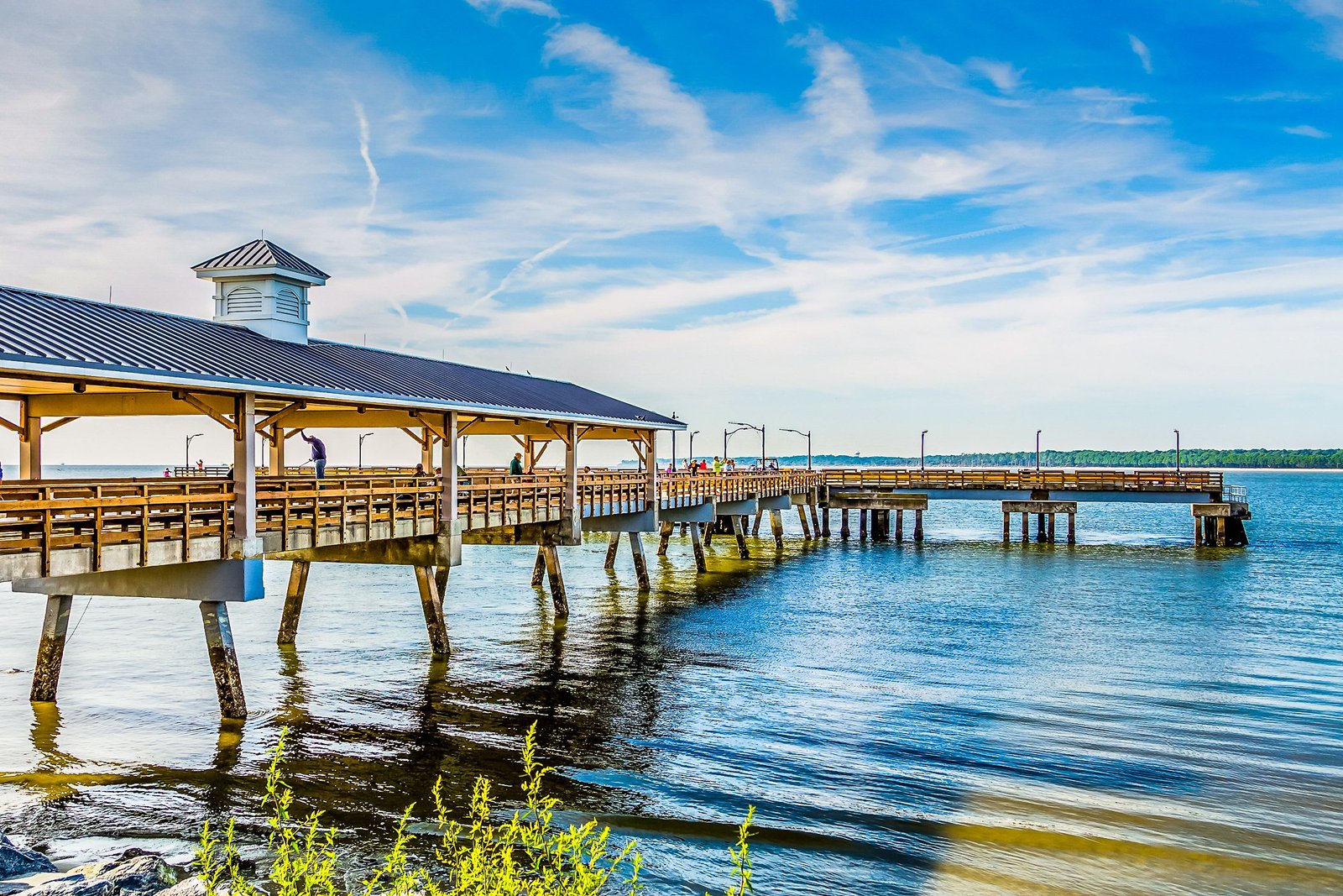
Located at the midpoint between Jacksonville, Florida, and Savannah, Georgia, lies the beautiful barrier island of St. Simons Island. Spanning 45 square kilometers, this vacation getaway spot is filled with cool towns, miles of sandy coastline, and tons of maritime history. It’s a quintessential summer vacation destination, frequented by Georgians for generations, but it is little known outside the state.
The island is the largest of the Golden Isles and the most popular among the locals due to the various beaches, golf courses, and resorts. However, the adjacent Little Simons Island is a car-free paradise, which is becoming a haven for digital detoxes and reconnecting with nature. Being an East Coast island with saltwater marshes, this place is also great for fishing and birdwatching.
|
Population |
16,026 |
|
Closest City |
Brunswick, GA |
|
Closest Airport |
Brunswick Malcolm McKinnon Airport |
In terms of history, one of the island’s most important landmarks is the St Simons Lighthouse. First built in 1810, it was later blown up during the Civil War in 1861 to keep it from being taken by Union soldiers. Following the war, it was later rebuilt in 1872 and has stood watching the bay ever since. Now, it also houses a museum about the history and maritime importance of St Simons Island.
Related
Georgia’s Most Secluded Beach Is Hidden In One Of The Most Remote National Park Sites In The USA
It’s where nature collides with history, where the beaches feel more intimate, empty, and boundless among maritime forests and diverse wildlife.
Things To See & Do In St. Simons Island
There are plenty of amazing things to do on St Simons Island. History buffs must check out the Fort Frederica National Monument. Built in 1736 by the British, who were laying claim to Georgia at the time. The fort is mostly ruined, but the visitor center is great with historical films and exhibits from the people who used to live here. Entry is free, so it’s well worth checking out.
One of the best ways to experience St. Simons Island is by bike. There are numerous bike tours around the island, or you can rent your own and grab a map to explore. There are over 30 miles of bike trails around the island, linking some of the best-loved sights and attractions, so it’s the perfect way to explore.
Beautiful sunrise off the coast of St Simons Island in Georgia
If you love ancient history and hiking, check out Cannon’s Point Preserve. It’s located at the northern point of the island and has middens dating back to 2500 BCE. There are also 644 acres of wild lands to explore, including the Altamaha River delta, a maritime forest, native species, and marshlands. It’s a calming spot and the perfect place to reset, surrounded by nature.
For a more relaxing vibe, head to East Beach. Here, you can stretch out on the soft sand, take a dip in the water, and chill out. This is also a short walk from the World War II Home Front Museum, located in the original World War II Coast Guard building. It’s a great spot to explore for more modern history and to see the impact that this beautiful island had on international events.
Related
Georgia’s Cutest City With An Adorable Name Is Near The Blue Ridge Mountains
Golf carts are the main transportation in this cute city in Georgia.
Visiting St. Simons Island In Georgia
To reach St. Simons Island, you need to drive. From Savannah, Georgia, it’s an hour-and-a-half drive south down the I-95. From Jacksonville, Florida, it’s pretty much exactly the same journey time, except you head north up the I-95. This means it’s a great stopping point on any southeastern road trip.
To get onto the island itself, you need to cross the picturesque F.J. Torras Causeway. This runs from Brunswick into the southwest of the island. Technically, you can walk and cycle across this causeway as well, as there’s a separate path that runs alongside the four-lane highway. It’s around 4.2 miles each way, so it’s a decent walk, but a relatively speedy cycle.
There is an airport on St. Simons Island, which is confusingly named Brunswick Golden Isles (SSI). It’s also referred to as St Simons Island Airport; however, this is the name for the private part of the airport, not the commercial section. From SSI airport, you can connect all around the East Coast, including Boston, Westchester, Washington Dulles, Fort Myers, Orlando, St. Augustine, and Daytona.
There are also regional flights within Georgia. The closest major international airport is in Jacksonville, which connects to the West Coast and beyond. From here, you can pick up a rental car to road trip up to St. Simons Island.
Related
Forget Atlanta For Georgia’s Coziest Mountain Town That Feels Like Another Time
Experience an authentic mountain town retreat, surrounded by the great outdoors just two hours away from Atlanta.
Best Time To Visit St. Simons Island
World War II Home Front Museum, St. Simons Island, GA, USA
The most popular time for people to visit St Simons Island is during the summer vacation period. The ocean breezes cut through the Georgia heat and humidity, and it’s usually bustling with a mix of Georgia natives and tourists. Of course, this is the busiest time of year for the island, and accommodation costs usually reflect that.
For a more relaxing experience, visit during the spring or fall. Being located in coastal Georgia, the temperatures will still be warm, but it won’t be as crowded. It’ll also be more comfortable conditions for cycling and hiking around the island, if that’s on your itinerary.
An underrated time to visit is during winter. During this period, you can see some incredible birds, as this is the main birdwatching migration period. It’s also a lot calmer; the accommodations are at their cheapest (except for the festive holidays), and while it’s cooler, it’s not exactly cold, with average temperature highs between 68°F and 61°F.
- Population
-
3.714 million (2020)
- Founded Date
-
January 2, 1788
If you’re looking for an underrated vacation spot in the US, check out St Simons Island in Georgia. This spectacular barrier island is full of history, culture, natural beauty, and relaxation. What’s not to like about that?

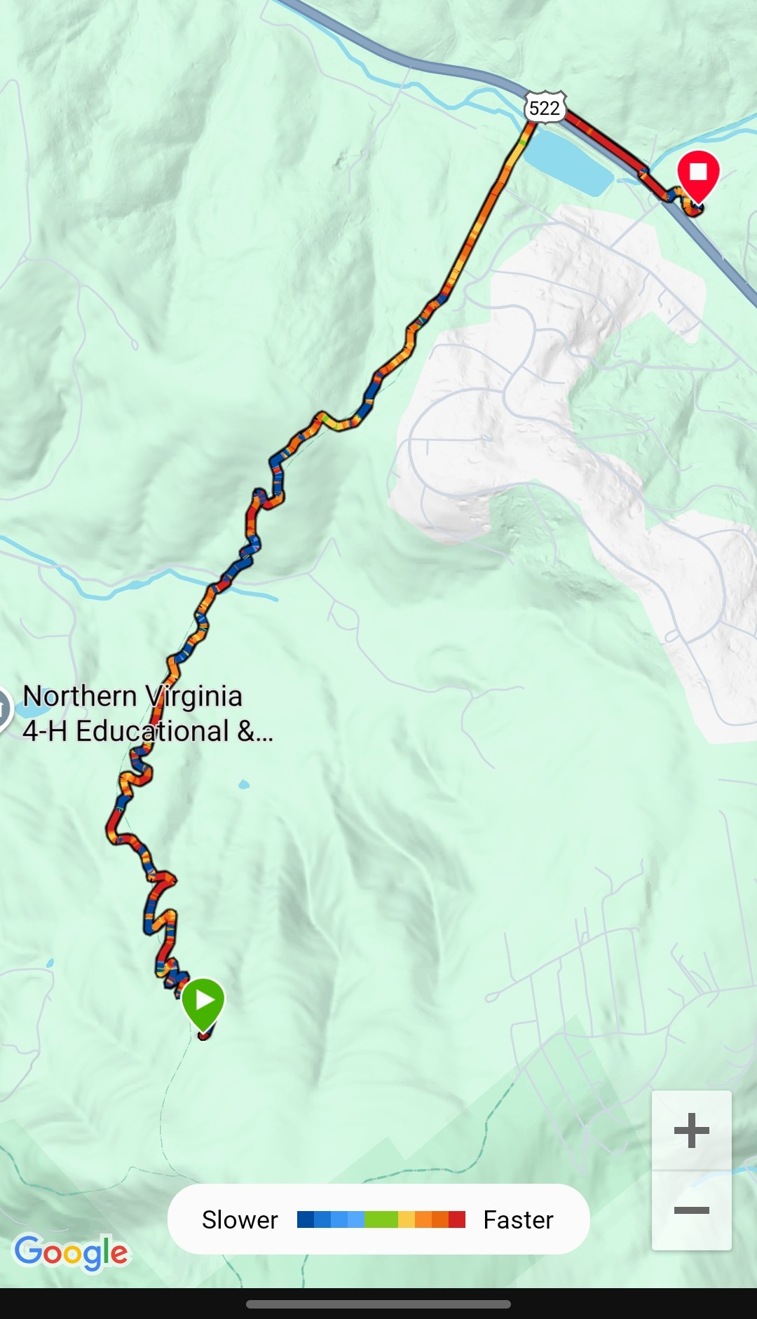
- Tom Floyd Wayside (969.5) to Mountain Home B & B (972.5)
- 500 feet ascent, 1430 feet descent
The feeling of completing the Shennandoah settled in and our energy slowly washed out with the tide of excitement. We only had 3.4 miles to walk but that felt far.
Sometimes completion leaves you with initial ebullience and then trips you like a rock. It is not dissimilar to being ravenous, and cramming in a sugary, salty, hyperpalatable meal. The olfactory and oral satisfaction are acute. Then the tummy rolls and the blood sugar drops.
Hiking Like a Variable Spred Drill
Our speed and competence at hiking was all over the place today. Fast, slow and everything between. My fitness watch map was actually hilarious.
I usually lead when we hike because I am a steady pacer. The Historian walks like he talks, have a thought and shoot ahead. Then, slow down to consider the next thought and once organized, zoom ahead. Multitasking-R-Not-Us.
I am more like a metronome. I may slow down or speed up based on terrain, but the pace is usually like clockwork. Lord help me, I often count steps or sing music in my head to set a tempo.
Not today. My pace was all over the place. I must say, The Historian was very tolerant of his hiking partner this morning.
Dank Hiking
Virginia has a lot of swampy, dark areas that have a dank, dismal feeling. We experienced that in the lower areas of the middle of Virginia where the laurels and water were the primary features. The Dismal Falls area was prototypical.
Today there were no laurel bushes to distract us. We started the day with a short rocky downhill but quickly transitioned onto swamp. It was black, marshy, and a little like a scary movie.
Adding to the horror-movie vibe was an old, 7 foot tall chain link fence. It was in disrepair and in some places had openings in the links.
We debated if the fence was to keep things in, or keep things out. I had the feeling I needed to keep an eye on everything in case some zombies or space aliens darted by.
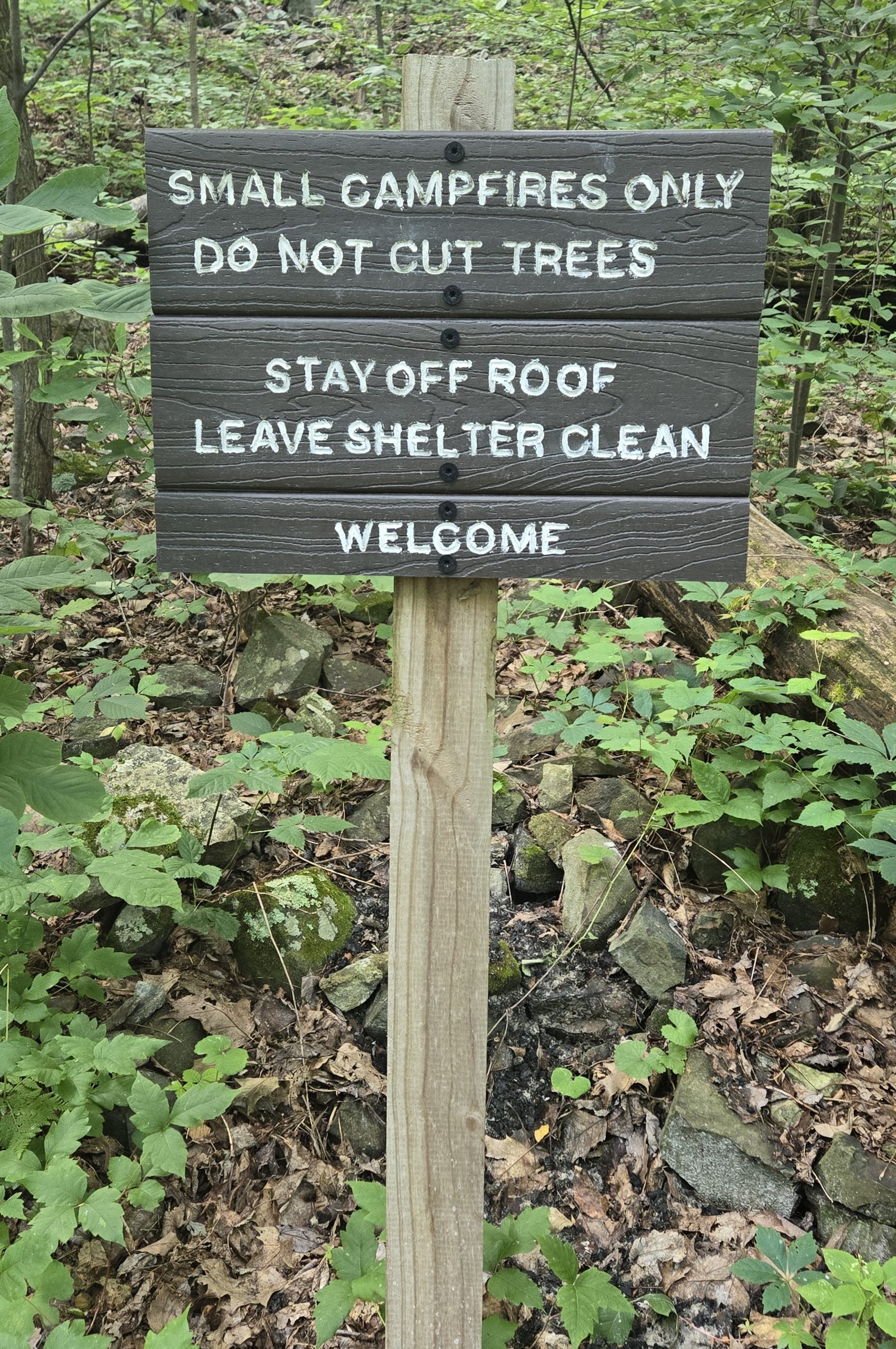
Mildly Aggressive Signage
Layering onto the geography and old chain link fence, were a signs warning hikers to stay on the trail. These began yesterday after leaving the Park.
Realistically, we imagined there had been some some rude hiker use and maybe conflict between hikers and local land owners. In the context of our mood and the fence and geography, they felt like trailside trolls demanding a payment to cross the land.
Long Down
After the murk and the zombie woods, we emerged at the edge of a field. The fence continued on the west side. The trail surface was dirt with a lot of clay in it. Overlying the narrow clay trail was tall wet grass.
We were grateful it had not rained much recently. Had it been wet, we imagines slipping at the top if the fenceline and sliding a mile down the slippery, straight, downhill trail.
On and on it went in its arrow straight pattern. Near the bottom, houses were visible on the non-fence side. There were fences and barriers that suggested the homeowners were not disposed to appreciate the hikers.
We wondered aloud what type of rude hikers had triggered this need for such strong boundaries. It made us sad to contemplate.
The Highway
We crossed Sloan creek with a nod to our resupply package maven whose name includes Sloan.
After the creek, we emerged onto the busy highway, Virginia 522. To our right was a small trail parking lot. To the left, a bus stop post with the bys schedule to Front Royal. Even though we were not going to Frobt Royal today, it was cool to think we could ride the city bus from the trail to town.
We waited for a lull on the traffic. Grasping our poles firmly, we scurried across the highway as fast as we could and still not trip over the yellow line.
Once on the north side of the crossing, we breathed a sigh of relief. We were just .3 a mile from our goal, the Mountain Home B & B.
The trail follows the highway for that 1/3 of a mile, but with a nice, thick strip of trees between the highway amd the trail. The zooming car sounds wete present, but the visual cues were peaceful trail.
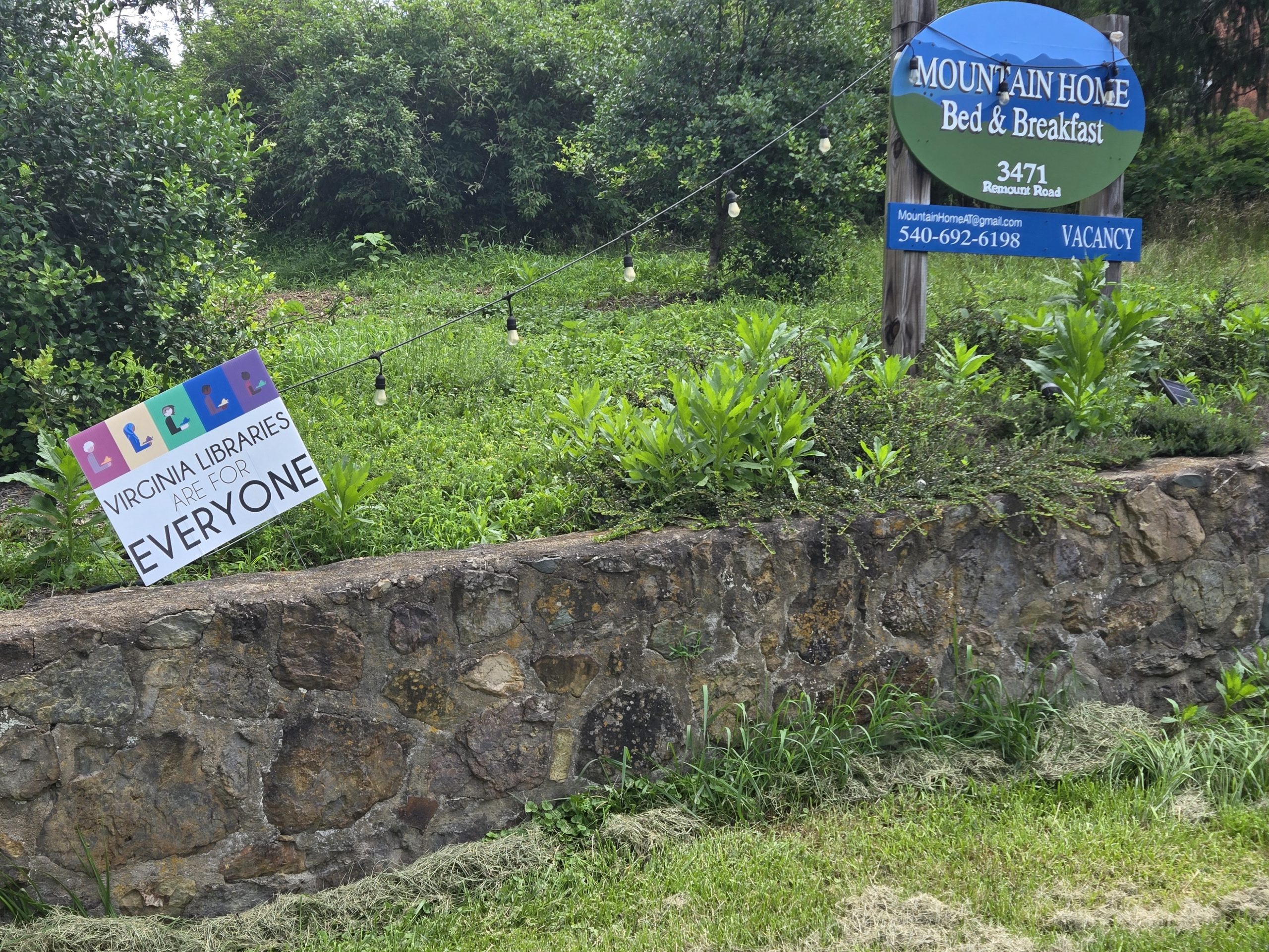
Mountain Home B & B
We reached Gate 7, as directed and rather than turning left to follow the trail north, stepped back toward the road and up a block to enter our hostel home for the next 24 hours.
We felt welcomed before we even got to the building. There was a sign supporting the local library.
Once to the back patio, we were welcomed with a large glass of homemade lemonade with treats. The ice clicked in the glasses in an engaging way.
Inside
When we got inside, we were instructed to place our dirty packs inside large contractor bags to transport them on to our room. It was a clever idea.
We were assigned the Game Room. It included an antique foosball table and stacks of vintage board games. We did not play the games, but it was a fun theme.
Hanging Out
After a gratifying shower and finding loaner clothes, we spent the rest of the day hanging out with other hikers. The dining room was a hospitable place with two large dining tables.
When dinnertime came, everyone wanted delivered food. It was hot and wet outside. No one delivered so the hosts kindly offered to shuttle some of us to town to fetch a large takeout order we had collectively placed.
All of us enjoyed refullimg our tummies with Thai food. We had also selected our food preferences for the included breakfast for tomorrow. One meal consumed and the next meal planned, we headed off to refuel our bodies with sleep and dream od eating again soon.
This website contains affiliate links, which means The Trek may receive a percentage of any product or service you purchase using the links in the articles or advertisements. The buyer pays the same price as they would otherwise, and your purchase helps to support The Trek’s ongoing goal to serve you quality backpacking advice and information. Thanks for your support!
To learn more, please visit the About This Site page.
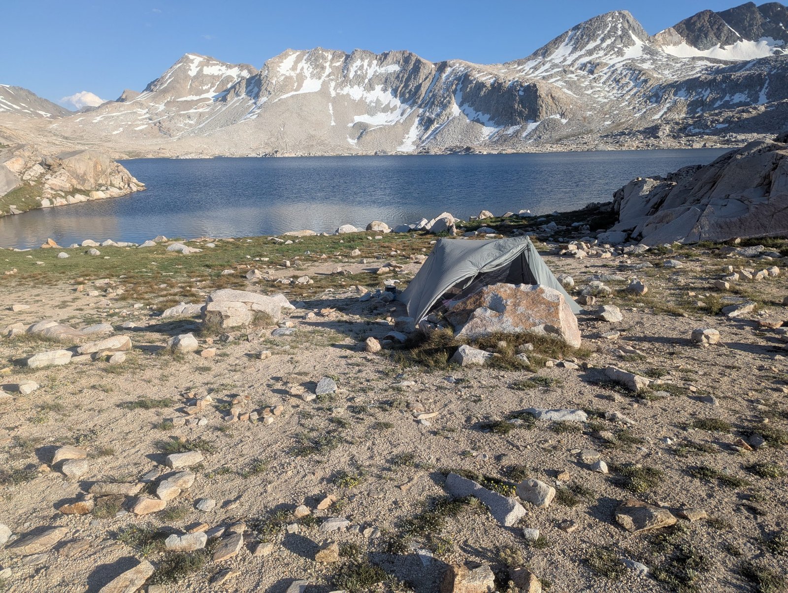
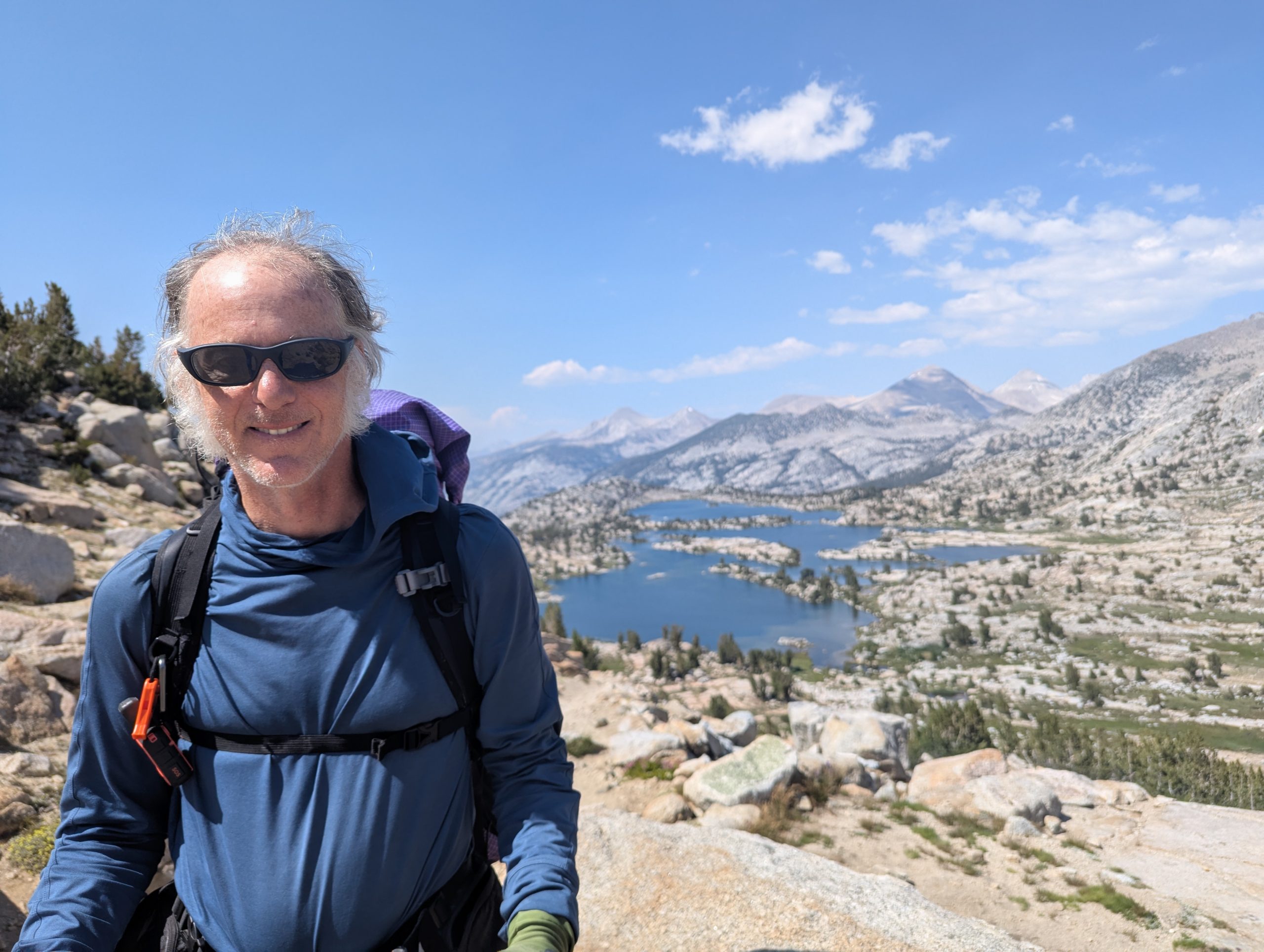
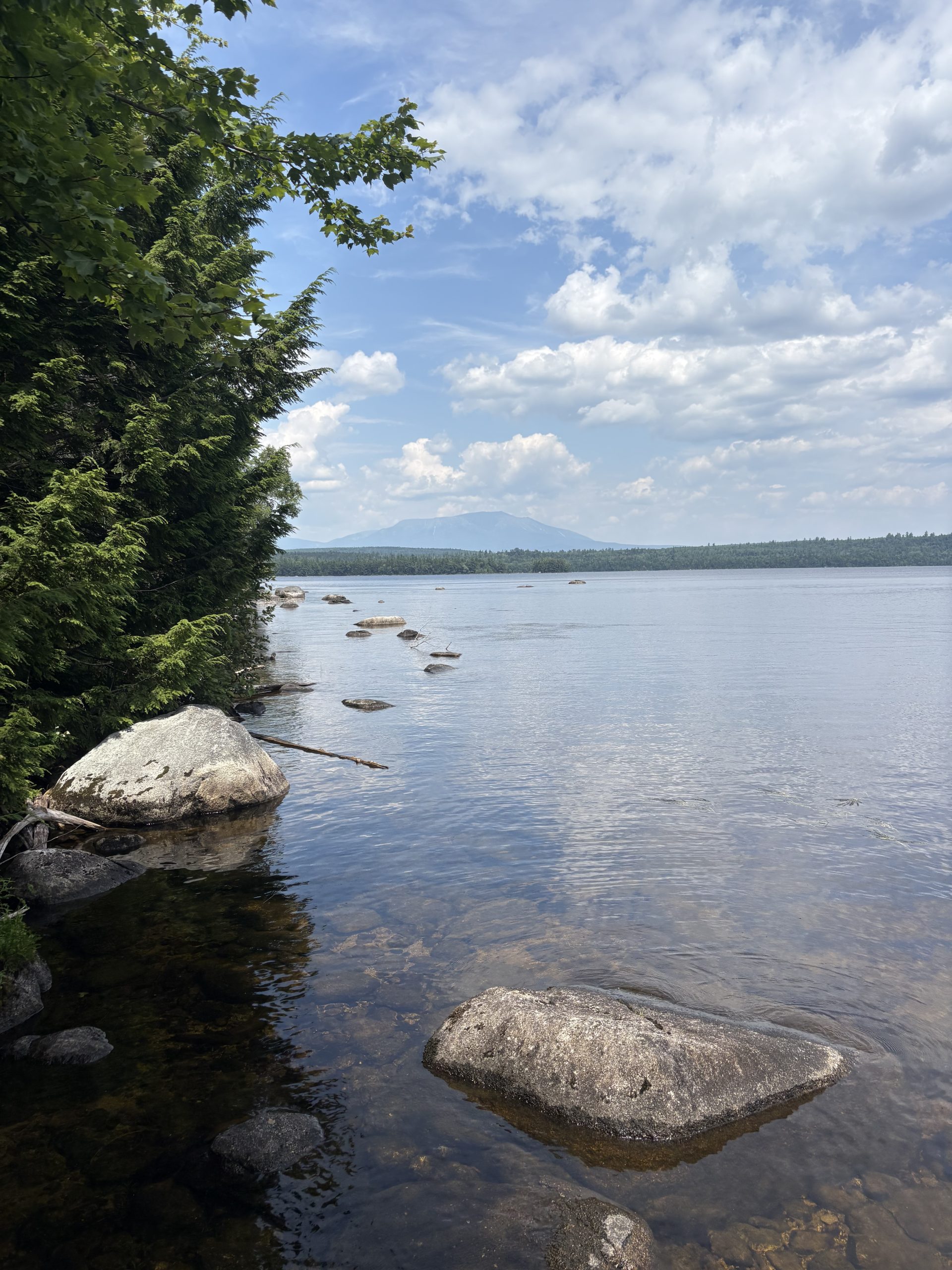
Day 13 – Wanda Lake to Tentsite on Piute Creek – 15.3 miles
Last night, during my bathroom break, the near full moon turned the baren landscape into a moon scape. It was both very beautiful and kind of erie. I did not carry my headlamp because it was so light out. Walking back I realized that many of the boulders looked just like our tent, especially in the moonlight. Fortunately I knew the tent was between me and the lake, so I just headed towards the lake and one of the boulders magically turned into our tent.
Discussing this with Meriwether today, we wondered if anyone ever crawled into the wrong tent. Some of the tentsites will accommodate a bunch of tents. There are at least four other tents just like ours very close to where we are set up tonight.
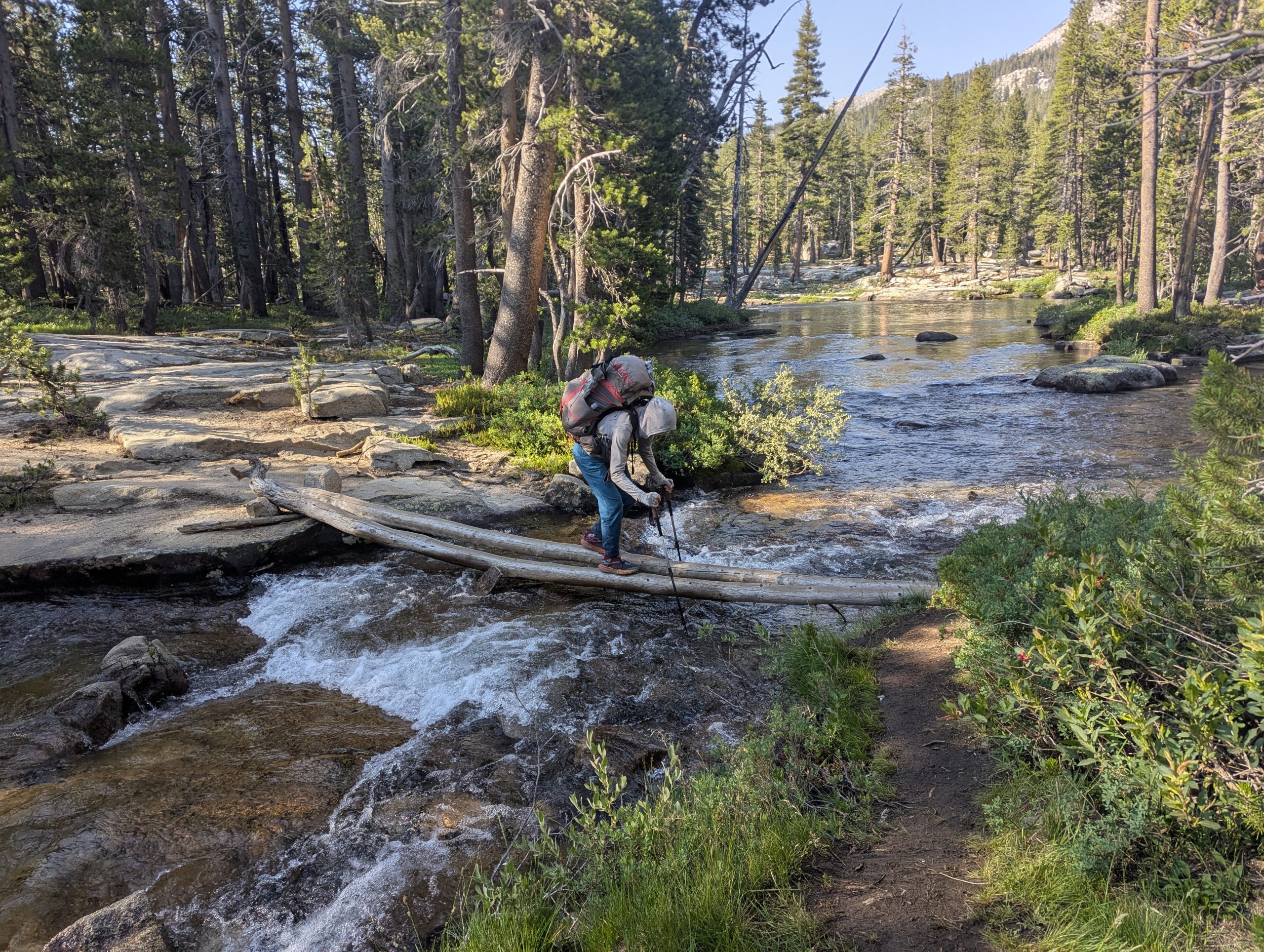
The hike today was 99.9 percent downhill. The uphill wasn’t even really uphill. I don’t think I have ever spent an entire day backpacking going downhill. The grade was very gentle, easy on the knees. We made really good time and took some great breaks.
My favorite break was at lunch, right after we crossed Evolution Creek. This is a big creek that can be dangerous to cross. There is an alternate trail that crosses the creek in a much easier place. We did NOT take the alternate. There is a very deep spot in the creek where the trail crosses. I found that to be a great place to cool off.
We only have a few miles to Muir Trail Ranch, our next resupply. They do not offer any other amenities to hikers, so we will probably grab our food, charge our phones, and keep moving. That is, unless the hot springs are very inviting or they offer us a discount on a hut for the night.
Happy Trails!
Day 14 – Tentsite on Piute Creek to Tentsite on Marie Lake – 11.6 miles
We got to see all our good trail friends today. Becca and Simone were at MTR when we arrived. They introduced us to their friend 2 Puffs before heading out. I imagine they will be about 3 or 4 hours ahead of us tonight. Peter and Laura showed up after we had sorted through our resupply. They either got enamored with the hot springs and stayed or are likely 2 hours behind us.
The roar of Piute Creek drowned out any noise from our neighbor campers and lulled me into a deep sleep. There would be no midnight bathroom break. I woke feeling great and ready to go.
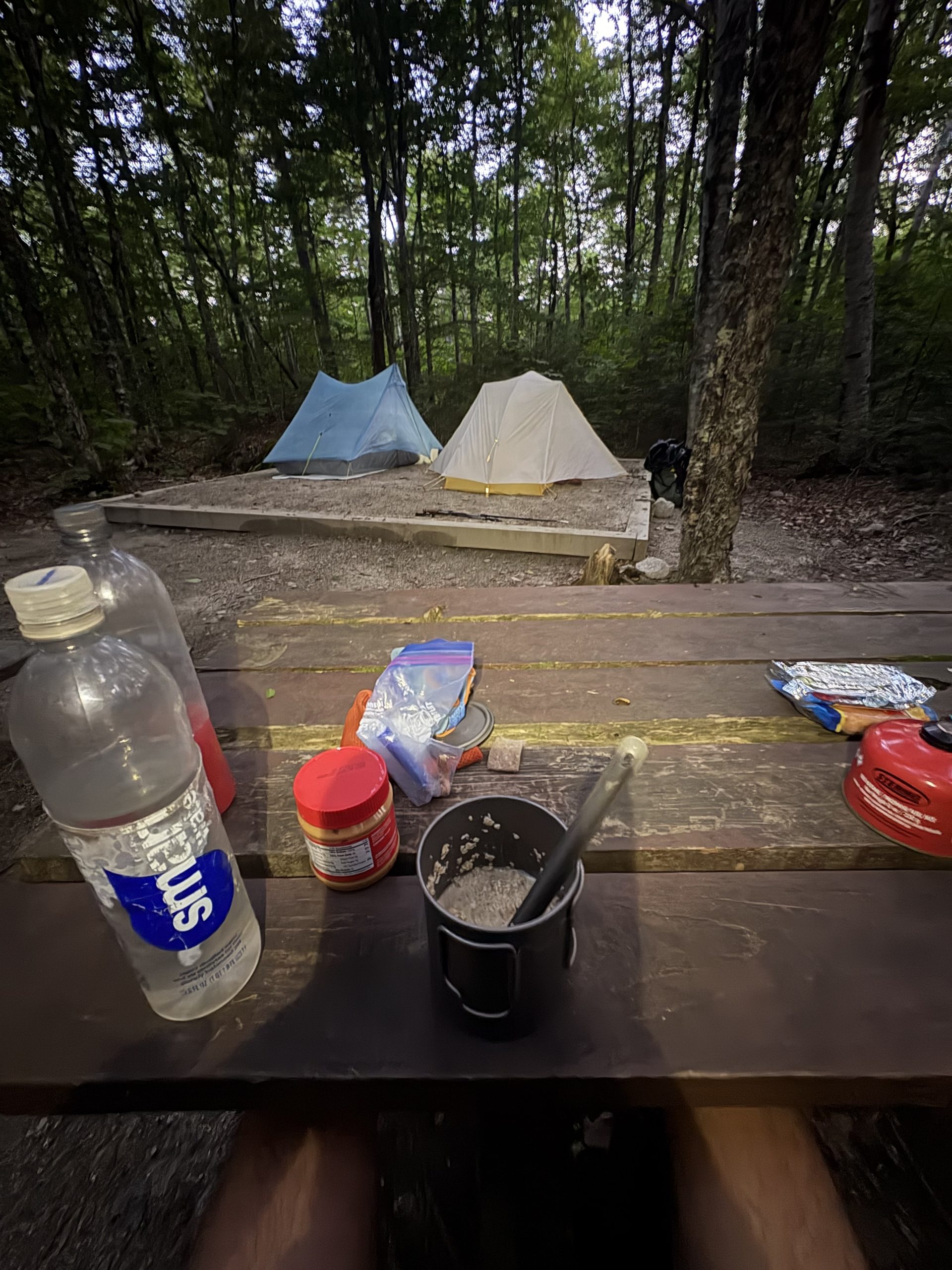
The plan for today is to get to MTR for our resupply and decide whether to spend the night there or press on. MTR has cabins and tents that can be rented for $250 per person with a two night minimum. The price does include dinner and breakfast.
The sign on the store said “No Vacancy”, I guess we are moving on. Our resupply bucket was there and intact. We did a bit of trading and discarding, recharged our electronics, washed our hands with soap, weighed our packs, and set off. My pack weighed in at 31 pounds, 2 pounds heavier than Meriwether’s. Please note that I carry the tent and cook gear.
Plan 2 was to head to the lake just before Seldon Pass. On the way to the lake a swarm of flies converged on Meriwether. She wasn’t interested in stopping until the flies went away. So we hiked passed the lake and over Seldon Pass to Lake Marie. Except for the massive cloud just in the distance, this site is wonderful. There are mountains close and in the distance. The lake is rippling blue green and pretty warm.
We are in striking distance of VVR. If we get to the turn off in time to catch the ferry, there is a chance we will go to the resort. We are both very interested in a cold, fizzy drink. There are also showers, laundry, and a cafe at the resort. My shirt and pants are turning white from the salt stains.
Happy Trails!
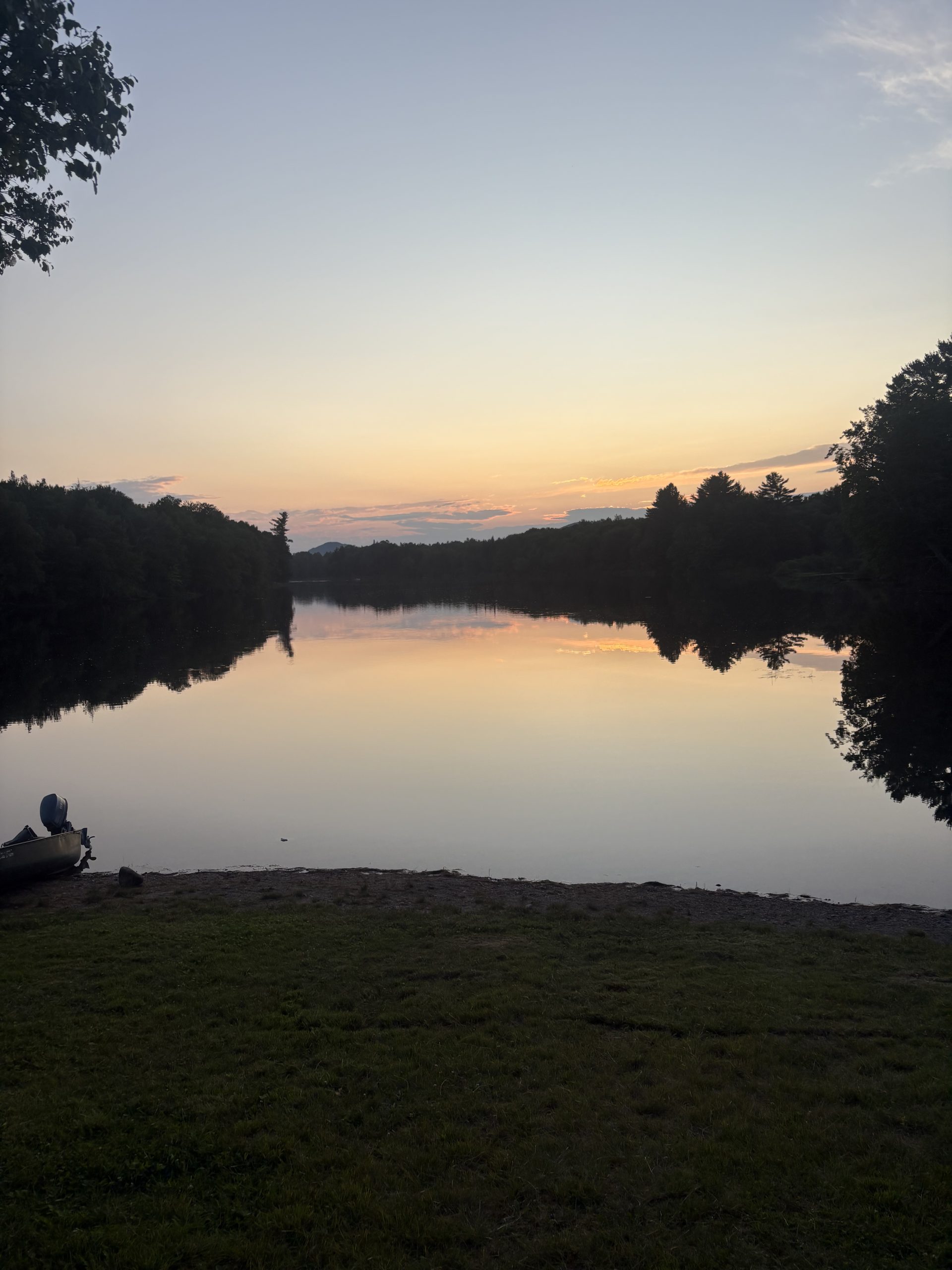
Day 15 – Tentsite on Marie Lake to Tentsite on Mono Creek – 14.9 miles 122.5
The biggest mistake I have made on this trip is to pack the exact same meal for dinner. Yesterday I snagged some packaged sweet and spicy tuna from the hiker box at MTR. I ate it for lunch on a soft tortilla. It was so good. Last night for dinner, tonight for dinner, every night for dinner I have been eating ramen (the $1 package), spam, and peanut butter. It is one of my favorite backpacking meals. Well, it used to be. At most there will be 9 more dinners of it, but I have a plan to reduce that number.
We made it to the intersection with VVR in plenty of time to make the ferry. We decided, however, to press on. We should be able to get to Red’s Meadow in two days. Red’s is closer to the trail, we have a resupply bucket there, and it has pretty much the same amenities as VVR.
The hike today was almost all in the woods. Occasionally we would get a glimpse of the mountains. Mostly we got to see some majestic trees. I think they are Sequoias, but I am no tree expert.
We also had to content with swarms of mozzies. For a couple miles I thought there was a hummingbird on each shoulder. Every now and then I could feel their claws punch my skin. One of the pinches was particularly hard, I glanced over and realized it was a massive mozzies. I squashed it and coated my shirt with blood.
Tomorrow we tackle Silver Pass. It is just under 4 miles away and I am hoping it will be a cool, bug free, experience. We will try to set us up to get to Red’s early in the afternoon the next day. I am looking forward to something good to eat there!
Happy Trails!
Day 16 – Tentsite on Mono Creek to Duck Creek Tentsite – 14.7 miles
Leaving camp this morning we passed a number of hikers flying down the trail. They all had the same goal. Get to the VVR ferry before 9:45 AM. I doubt the last few we saw made it. I was a bit envious.
We made quick work of Silver Pass. It seems, as we travel north, that the passes get easier and the drop offs much less steep. Only one more, Donohue, probably in 3 days.
From Silver Pass we could see our friends, Becka and Simone and their friend 2 Puffs. We have only spent about 5 minutes with 2 Puffs, give us 10 more with her and she will be our friend too.
They were packing up and we caught up with them before they set out. We ended up talking for more than 10 minutes, so 2 Puffs is a friend now.
We hiked near them most of the morning. Their constant cheerful discussions made me smile. We stopped for a break and a snack at Virginia lake. The lake is beautiful, just like the State. I wanted to take a dip, but the wind was blowing and it was a bit chilly.
Meriwether and I set out before them. We had 4 miles to where we planned to camp and I wanted to get there in time to eat before the mozzies arrived. The mozzies really haven’t been that bad. There have been a few times when we decided to press on because they were annoying and once when they covered Meriwether’s backpack and my legs so thickly, it looked like fur. Right now I can count 35 on the bug net part of the tent. How do they know we are in here?
We are within striking distance of Red’s Meadow. It has been about 8 days since laundry, shower, and a good meal. We are hoping to be there by noon so we can get nice and cleaned up before a fabulous dinner.
Happy Trails!
This website contains affiliate links, which means The Trek may receive a percentage of any product or service you purchase using the links in the articles or advertisements. The buyer pays the same price as they would otherwise, and your purchase helps to support The Trek’s ongoing goal to serve you quality backpacking advice and information. Thanks for your support!
To learn more, please visit the About This Site page.

After taking a real beating from southern Maine, making it to Harrison’s Pierce Pond camp signified the start of the northern part of the state. This meant that the trail would now wind alongside beautiful lakes and valleys instead of going up and over steeper mountains. Harrison’s did not only signify the start of the final easy section of trail, but it was also the best breakfast that I had on the trail – 12 incredible berry pancakes.
Making it to Shaw’s
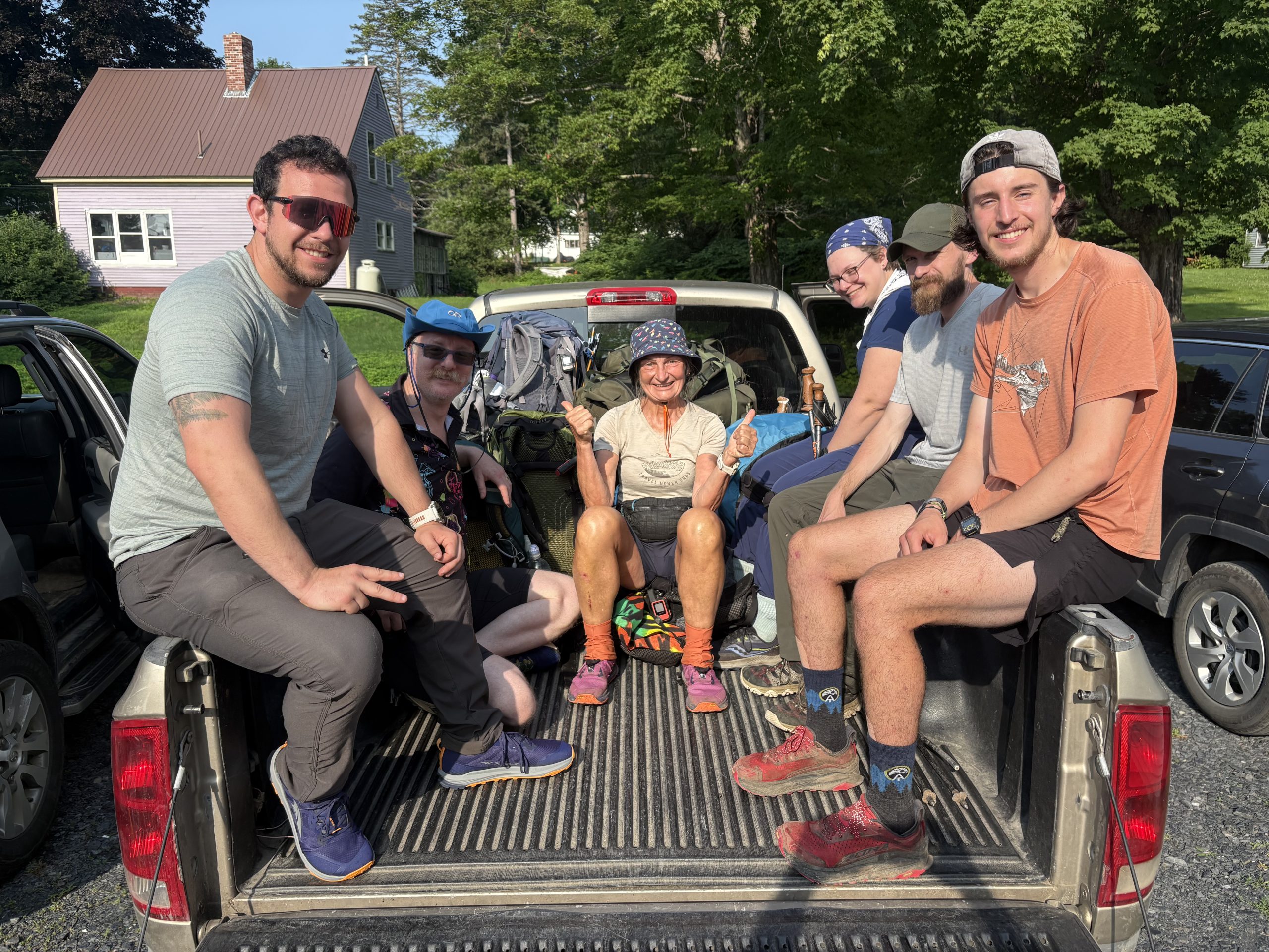
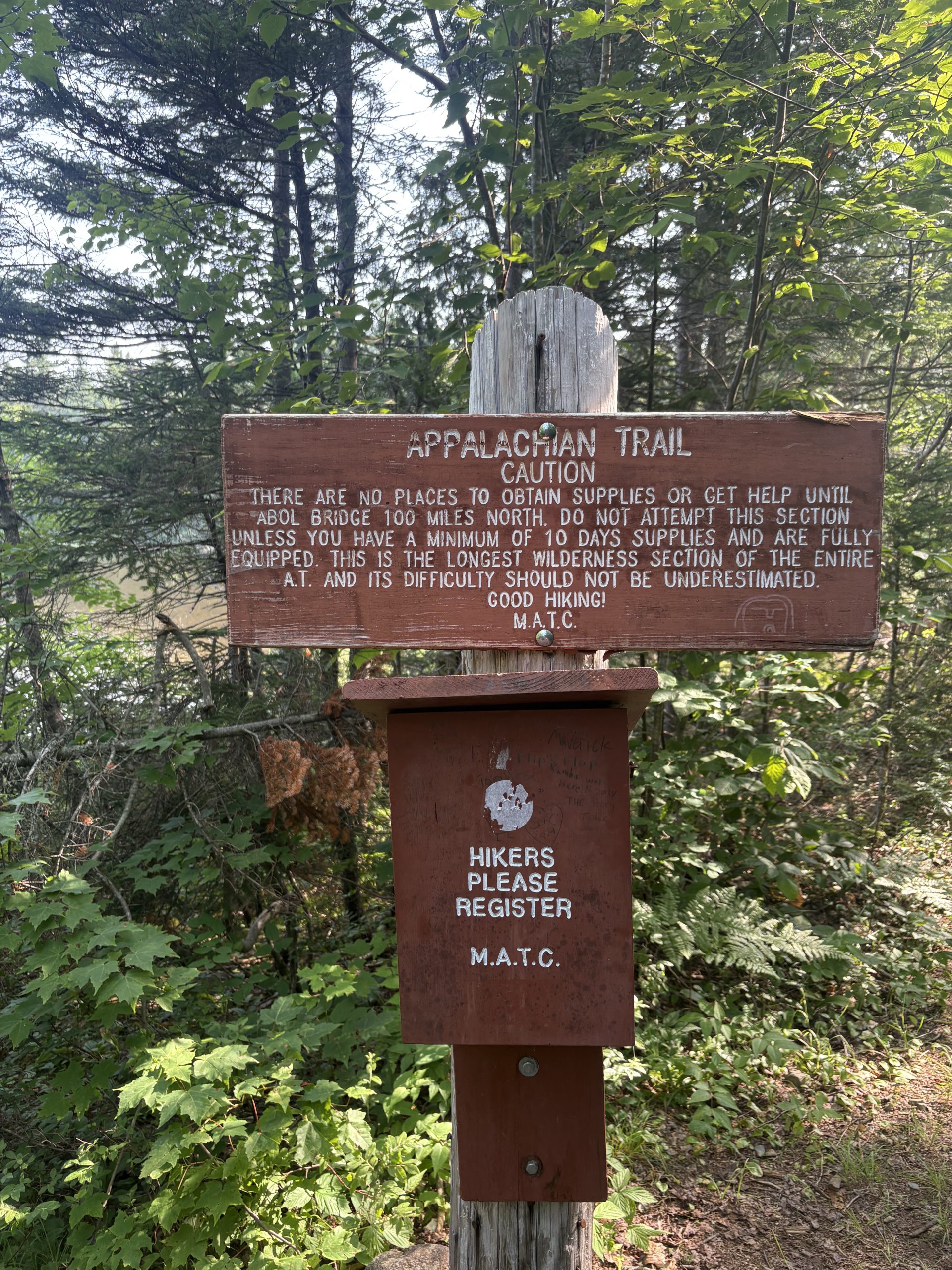
After the great breakfast at Harrison’s, I only had a short jump to get to Shaw’s hostel in Monson, Maine. This hostel is a northbound hiker’s last stop before they enter the 100-mile wilderness – the longest stretch of uninterrupted woods (without a resupply option) on the AT. Shaw’s did not only provide resupply options, but also gave me a much-needed rest day before I took on the last section of the trail.
As I hung out at the hostel, I got to catch up with many friends from the trail and get some much-needed rest. I loved how the trail has a way of grouping up hikers in significant spots, so I had some great company as I hung out at the hostel and as I started back on the trail.
The 100-mile wilderness
This wilderness area was one of the remote areas and one of the most beautiful on the AT. The trail ran alongside tons of beautiful lakes and woods and provided incredible views throughout the last section.
I was also blessed with great weather during this section. Usually, Maine is a state that is plagued with rain, but I was able to make it through the last section of the trail with only one day of rain (that only lasted through the morning). This section was also incredibly sentimental, because the trail was relatively easy, I was able to spend much of the time walking and reflecting on my journey.
Katahdin Eve
The last day of hiking before summoning Katahdin to officially end the trail is sometimes referred to as Katahdin Eve. This day certainly felt like a Christmas Eve of sorts and I hiked with so much excitement and adrenaline throughout the day. The last 10 miles of trail that run through Baxter state park (prior to Katahdin) mosey along side a river to make for a final day of pleasant walking. Usually I hike quickly and in a motivated fashion, but on this day I took so many breaks to take in every bit of trail that I could. It was amazing to pass any other hikers throughout the day because the stoke was so high. Towards the end of hundred mile wilderness and through Baxter state park, so many hikers shared the joy in congratulating me on making it to the end of my hike.
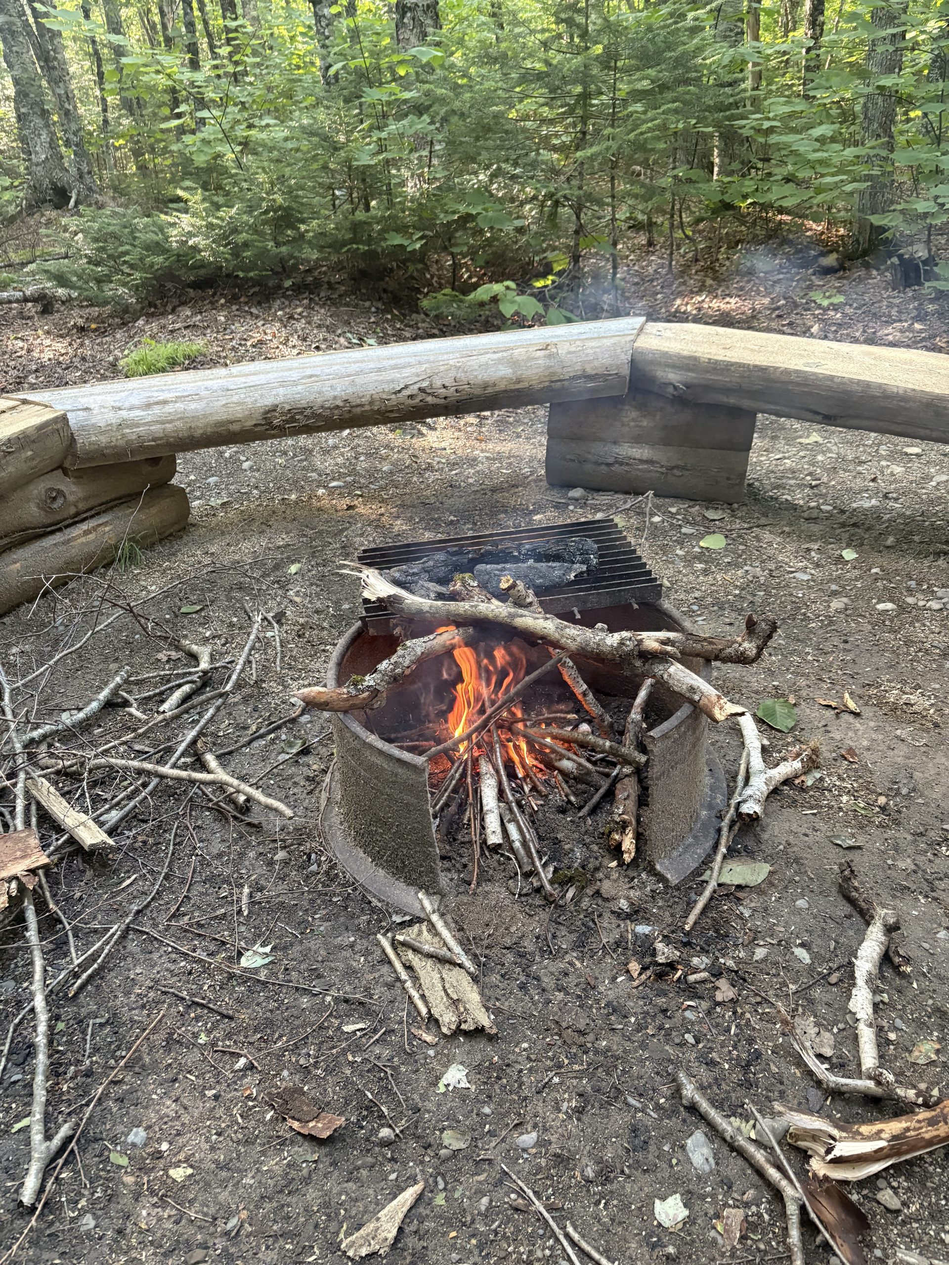
Once I arrived at the birches tent site I still had plenty of time left in the day to relax because my summit the following day. With all the extra time I decided to build a campfire to hang out around. And in an odd way this turned out incredibly sentimental – the first day on trail I met some awesome other hikers (and now friends) sitting around a campfire, so I found it only fitting to end the trail in the same way.
My summit day
On the morning of my summit day, I woke up way earlier than usual to seize the day (and because I couldn’t sleep from excitement). As I sat and ate breakfast, all of the emotions finally hit me – it was so exciting to finally have completed the trail but also sad to leave such a fun chapter of my life. The nostalgia of the trail had already hit me and I wasn’t even done yet.
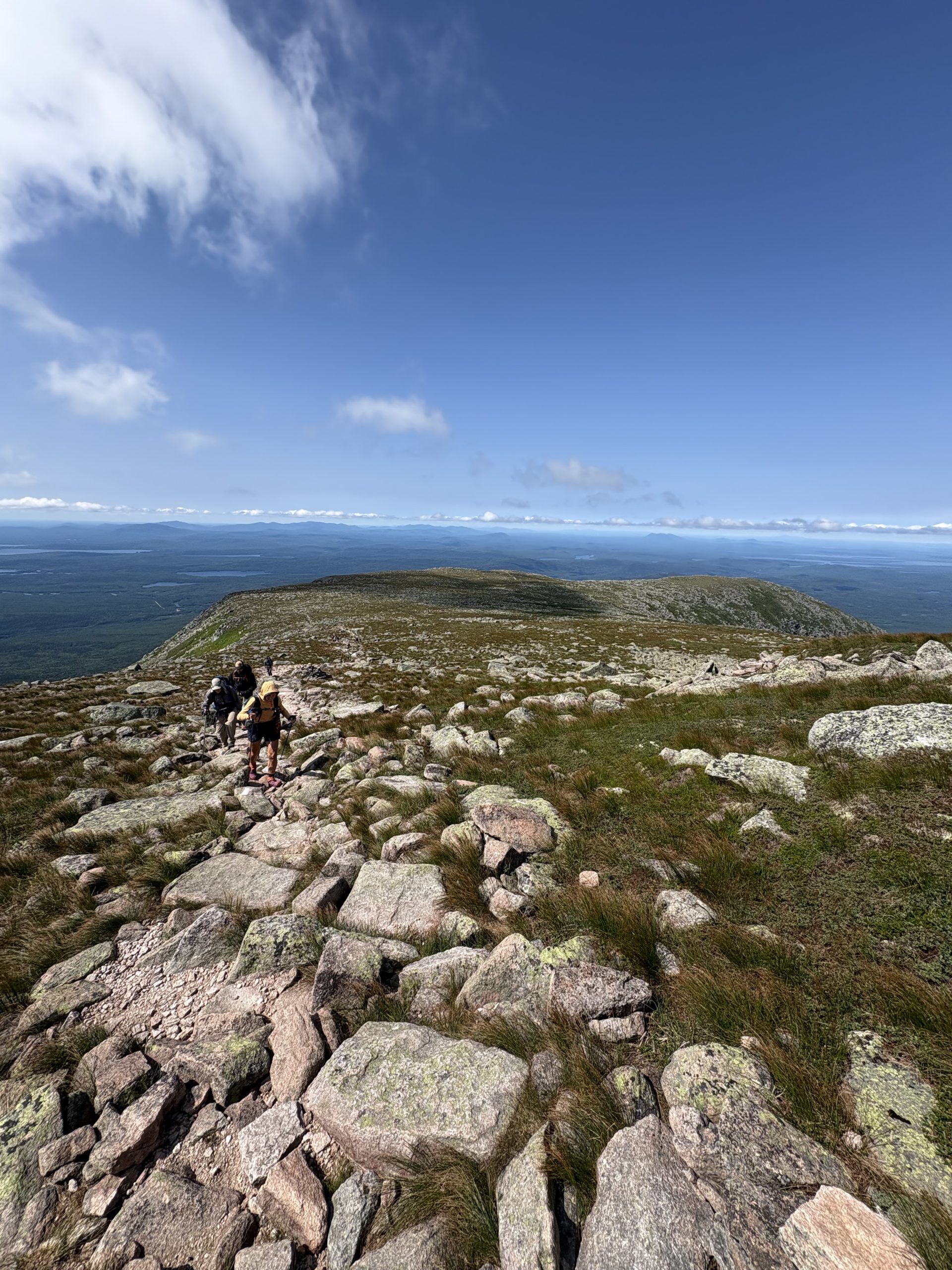
Hiking up Katahdin was an incredible experience. The top half of the climb required some pretty intense climbing and bouldering moves that were so much fun. Also the difficult climbing, hikers and rewarded with the tablelands – a final flat section of the mountain above treeline with views up to the summit. At that point I finally got a glimpse of the legendary sign and the race was on.
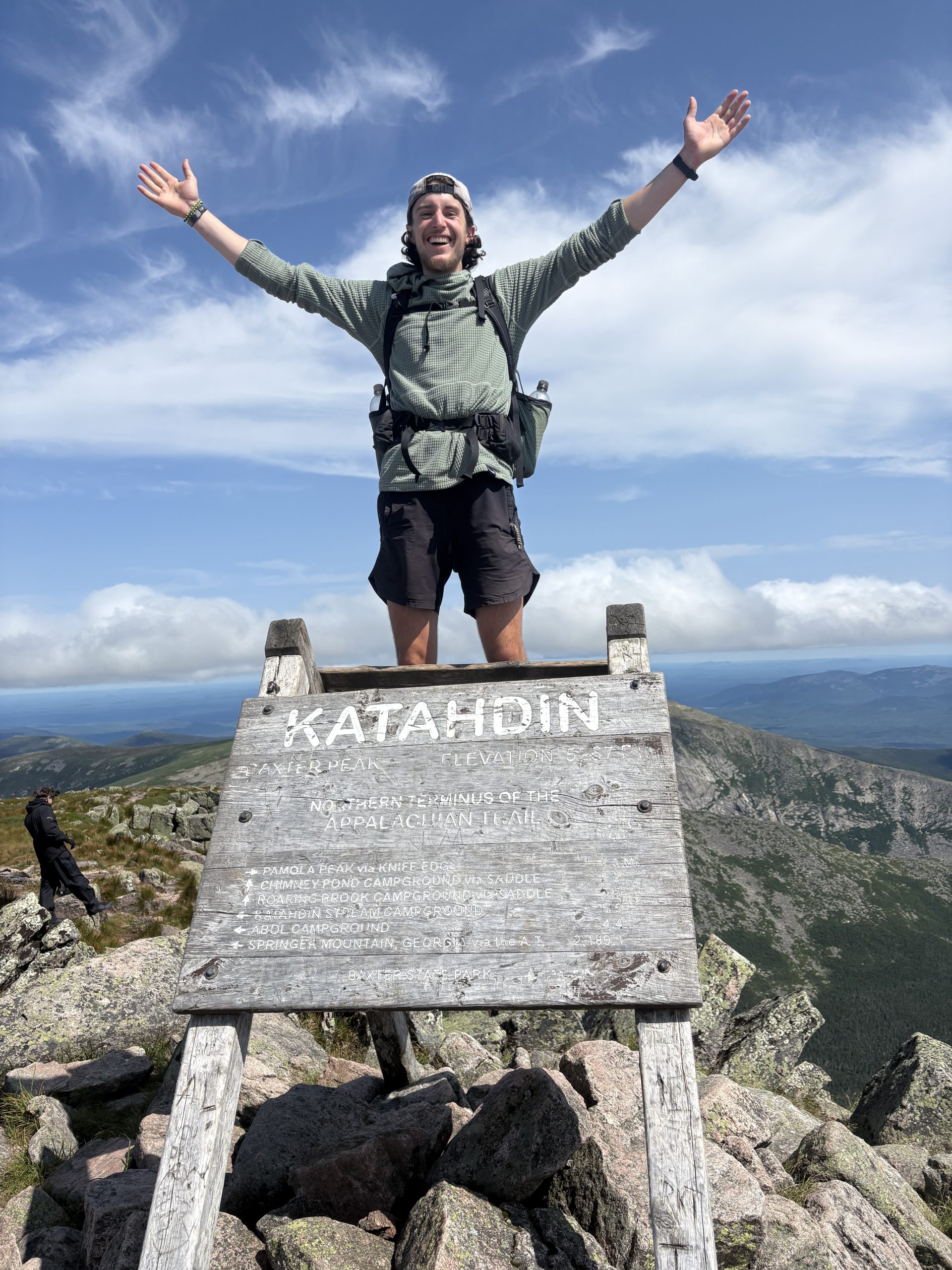
As the sign got closer and closer the excitement only grew – I was actually done with the trail. Getting up to the top to stand on top of the sign to take a picture completed the whole process. I had beautiful weather for my summit day so I was able to sit and share stories and enjoy the moment with other hikers on top of the mountain. It was so hard to leave the top of Katahdin… even though I had a shuttle to catch that meant the return to real life.
I feel so accomplished having completed the trail and I can confidently stay that it was the hardest thing that I have ever done… but I can’t wait to do it again. I have never done something that has been so simple yet challenging but so rewarding. Every day was a new challenge to overcome, but every step – no matter how hard – was bringing me closer and closer to my final goal. The trail has taught me so much about myself and what I am capable of. I am so grateful for the opportunity to get on trail. It’s safe to say that I’ve been bitten by the hiking bug and I can’t wait to get on trail again!
This website contains affiliate links, which means The Trek may receive a percentage of any product or service you purchase using the links in the articles or advertisements. The buyer pays the same price as they would otherwise, and your purchase helps to support The Trek’s ongoing goal to serve you quality backpacking advice and information. Thanks for your support!
To learn more, please visit the About This Site page.
-

 Brand Stories6 days ago
Bloom Hotels: A Modern Vision of Hospitality Redefining Travel
-

 Brand Stories23 hours ago
CheQin.ai sets a new standard for hotel booking with its AI capabilities: empowering travellers to bargain, choose the best, and book with clarity.
-

 Destinations & Things To Do7 days ago
Untouched Destinations: Stunning Hidden Gems You Must Visit
-

 AI in Travel7 days ago
AI Travel Revolution: Must-Have Guide to the Best Experience
-

 Brand Stories3 weeks ago
Voice AI Startup ElevenLabs Plans to Add Hubs Around the World
-

 Brand Stories2 weeks ago
How Elon Musk’s rogue Grok chatbot became a cautionary AI tale
-

 Destinations & Things To Do20 hours ago
This Hidden Beach in India Glows at Night-But Only in One Secret Season
-

 Asia Travel Pulse3 weeks ago
Looking For Adventure In Asia? Here Are 7 Epic Destinations You Need To Experience At Least Once – Zee News
-

 AI in Travel3 weeks ago
‘Will AI take my job?’ A trip to a Beijing fortune-telling bar to see what lies ahead | China
-

 Brand Stories3 weeks ago
ChatGPT — the last of the great romantics
You must be logged in to post a comment Login