
Published August 8, 2025 01:51PM
Destinations & Things To Do
Artificial Intelligence Helped Rescuers Find a Climber’s Remains
Officials in Italy used a combination of flying drones and AI software to locate the remains of a man who vanished in September
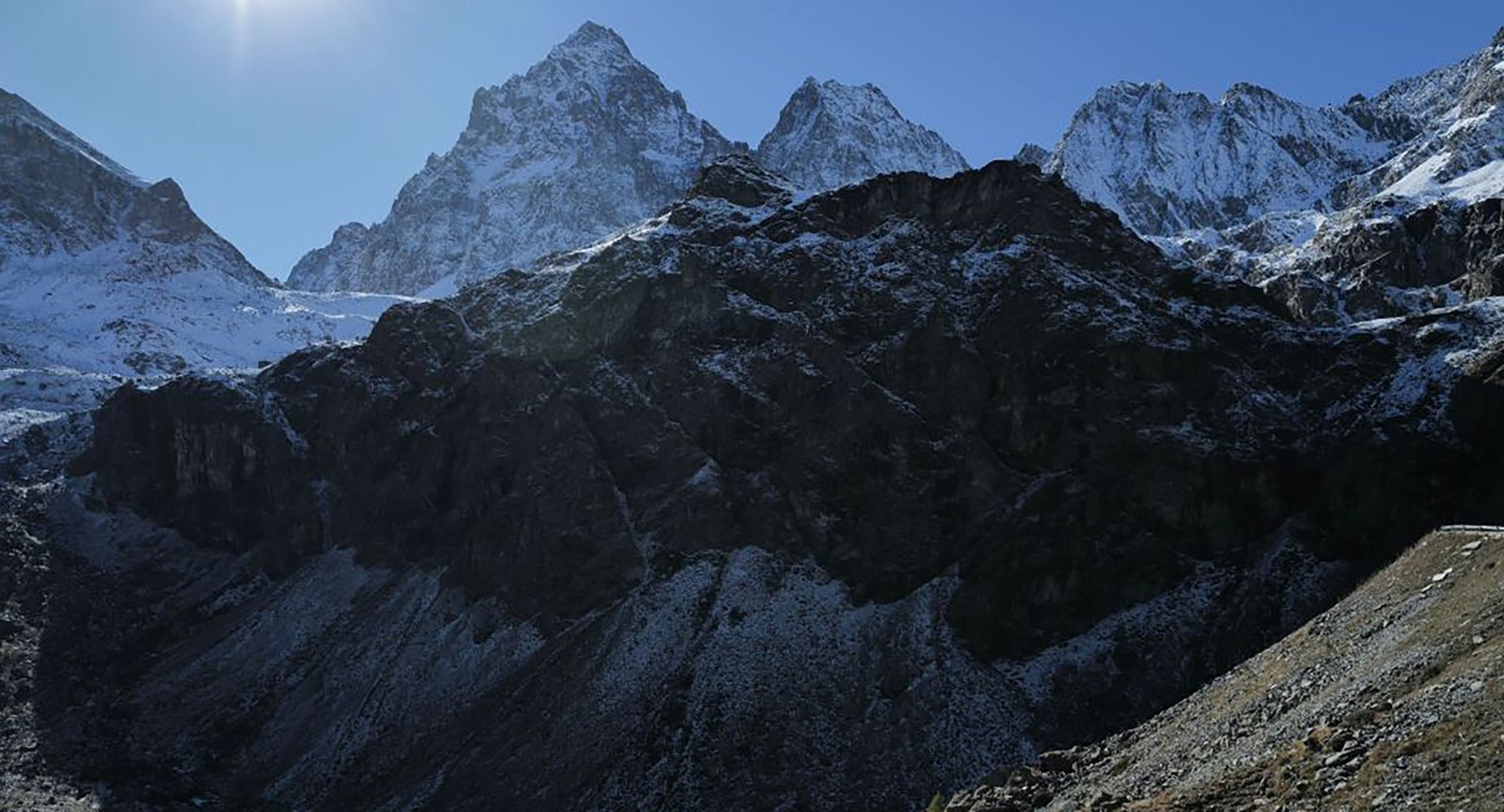
Monviso mountain towers above Turin (Photo: Vittorio Zunino Celotto / Getty Images)
Back in September 2024, a 64-year-old climber went missing in Italy’s Cottian Alps.
In late July, rescuers finally found his body, using a combination of flying drones and an advanced artificial intelligence software program, according to WIRED Italia.
Nicola Ivaldo, a doctor from Liguria, disappeared on the north face of 12,602-foot Monviso on September 14. Colleagues reported him missing when he failed to show up at work two days later, and search efforts began on September 17.
Ivaldo was an experienced mountaineer, but he was climbing alone. Monviso, which sits near the French border roughly 40 miles southwest of Turin, is a rugged, technical peak.
He also had not told his friends or family his intended route. However, before his disappearance, Ivaldo’s cell phone had connected to a cell tower north of the mountain, so rescuers believed he was attempting to climb Monviso from the north, likely via the peak’s northwest ridge.
Over the next several days, drones, sniffer dogs, and helicopters began poring across the northern and western slopes of Monviso, scouring a search area of 452 acres. But the rugged, dangerous terrain, coupled with bouts of foul weather and poor visibility—wind, rain, fog, and snow—stymied search and rescue efforts. By October, early winter snows had fallen on the mountain, covering any sign of the missing climber’s body. The search for Nicola Ivaldo was called off on October 9.
For nearly a year, the missing doctor’s fate was uncertain. But in late July, two drones, piloted by Italy’s National Alpine and Speleological Rescue Corps (CNSAS) took up the search again.
On the afternoon of July 29, the pair of drones flew over Monviso. During a span of just five hours, they documented almost every inch of the 452-acre search area, taking roughly 2,600 high-definition photographs from 165 feet above the ground. Later that day, these photographs were fed through an artificial intelligence built to recognize variances in color and shape. This software was directed to analyze the photos with specific focus on any irregularities in the landscape.
The AI program analyzed all 2,600 images the same day. What would have taken weeks or months, scanning hundreds of photos with human eyes, took a few hours. The software flagged a series of suspicious spots, including a smattering of bright red pixels that rescuers thought might be Ivaldo’s helmet.
They were right.
Less than three days after the initial drone flights, a recovery helicopter found Ivaldo’s body at approximately 10,335 feet, face down in a couloir high on the north face of Monviso.
One of the two drone pilots, Saverio Isola, told Wired Italia that the miraculous recovery was “a human achievement, but without technology, it would have been an impossible mission.”
Isola explained that Italian rescue crews have been using drones in a similar capacity for roughly five years. “In the recovery operations following the Marmolada glacier tragedy, it allowed us to operate in inaccessible areas and recover all the necessary artifacts,” Isola said. “It prevented the rescuers from risking their lives.” However, artificial intelligence analysis technologies like the kind used in this operation have only been in use for the last eighteen months. These tools were developed by the CNSAS, in coordination with Italy’s civil aviation agency.
Rescue teams across the United States commonly use aerial drones to spot missing hikers, and to scour hundreds of acres of terrain when a helicopter is not readily available. In 2021, a drone equipped with thermal imaging spotted a missing hiker outside of Santa Barbara.
In 2023, a stranded motorist tied his phone to a drone so he could send an SOS message to rescuers.
But using drones in conjunction with artificial intelligence software to scout photographs is not as common.
The CNSAS hopes that in the future, rapid implementation of artificial intelligence analysis could save missing hikers and climbers before it’s too late. In search and rescue missions for living hikers, color and shape recognition software could be combined with thermal imagery analysis. “AI is also able to interpret thermal data, and provide valuable information in just a few hours,” Isola said. While helicopters or ground rescuers are dispatched, the drones could also deliver lifesaving supplies, like food, water, or first aid kits.
Owen Clarke is a freelance outdoor sports writer. He often writes about climbing, but his work also covers motorcycles, long-distance trekking, and environmental conservation. He also authors the dark fantasy series Void Injection and is the founder of the collaborative writing workshop Dead Foot.


I slept in! And in a big bed. The robot vacuum turned on around 11 pm last night, and I disorientedly scrambled to try and shut it off. We got picked up to get back on track just after 8 and were back on the Bear Mountain campus before 9. It was a late start, but we got into the groove pretty quickly.
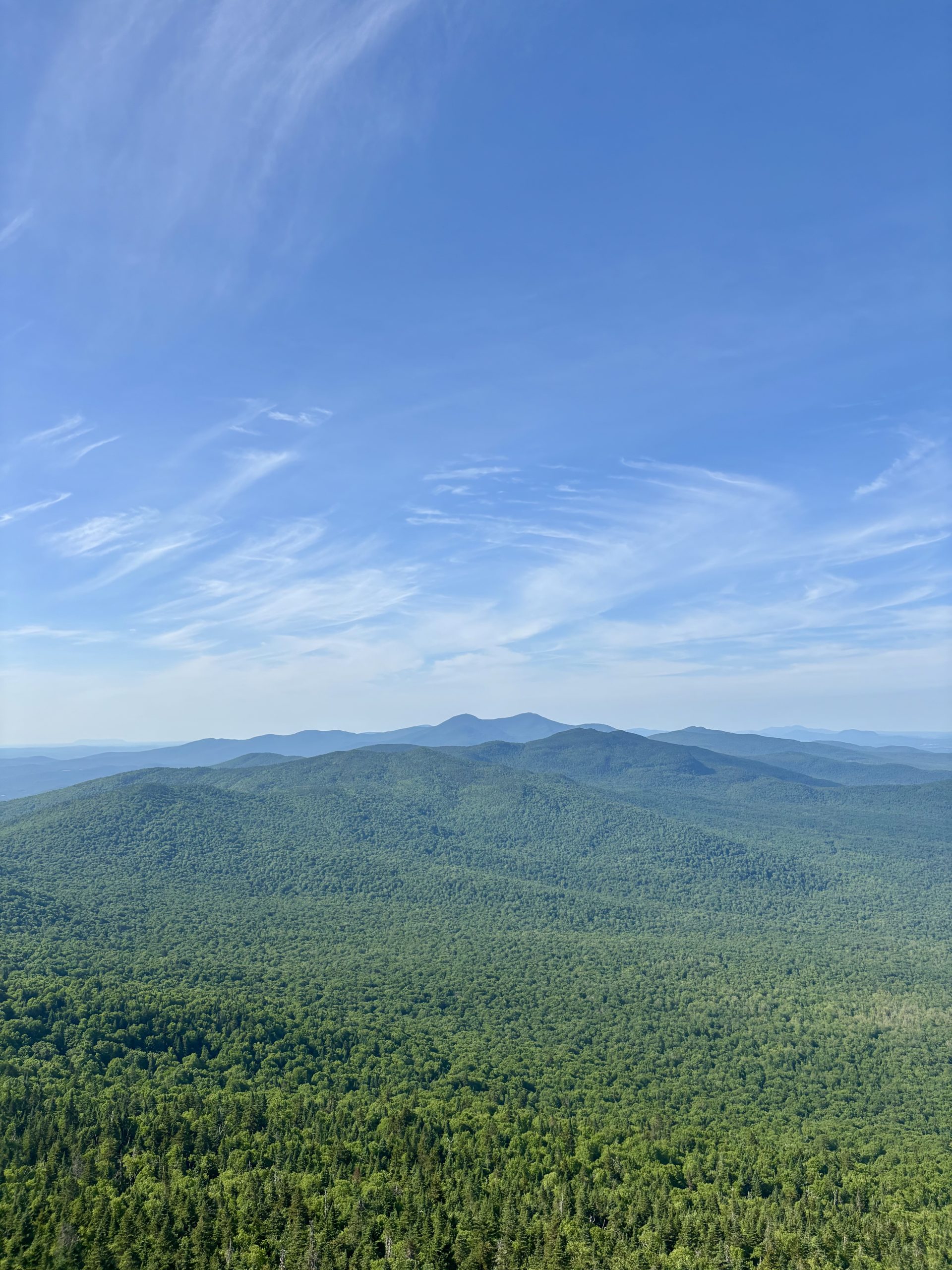
Bear Mountain held a great view for us and restored my faith in this state. I hope I’m emerging from my funk, but it’s tough to say. I truly love it out here, but the heat and general exhaustion are bringing me down sometimes.
This stretch of trail has minimal water, and we’re going through somewhat of a drought. We took a blue blaze to a state park to fill from their bathroom sinks and have lunch. We both had the midday sleepies, so we took a small nap at the picnic table.
We crossed mile 800 today! We plan to be out of New York in a day and some change and to PA before the end of the month.
Eventually, we made it to Tiorati State Park. This was located a mile from our campsite, which did not have any water present. We filled our bottles, 2 L CNOC bags, and packed out sodas to have with dinner.
Tonight was our first official night without the stove. We cold-soaked ramen, and it was…. Good! It’s so hot out that I don’t want warm food anyhow. Just prep your dinner, set up camp, and then it’s ready for eating! I love ramen so much still. That and a spam single packet is an ideal dinner for me. Followed by a few scoops of Nutella, of course.
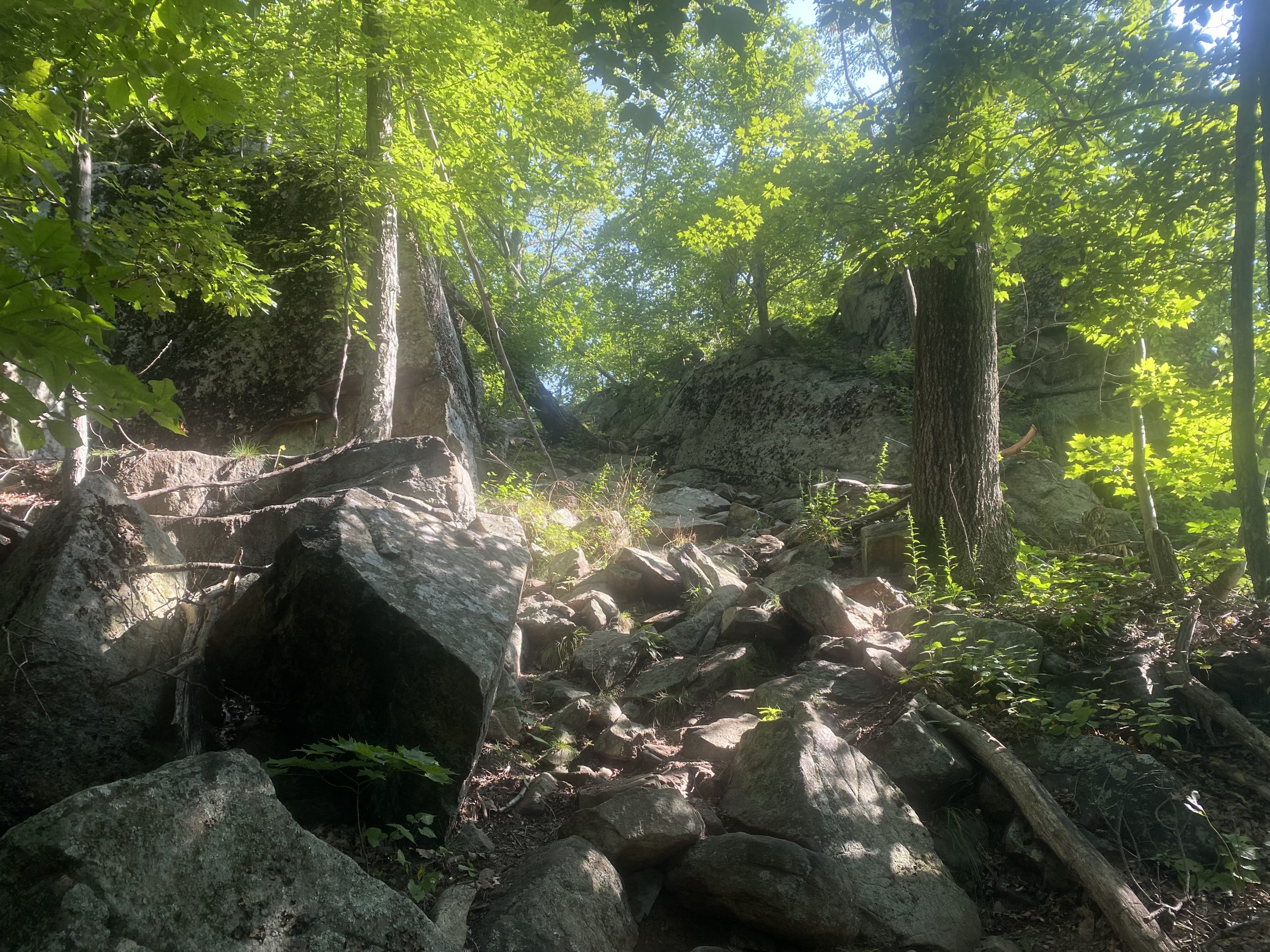
The following day was going to be a heat advisory. We didn’t have a ton of miles planned because the terrain was also pretty rocky, and our water sources were becoming more scarce.
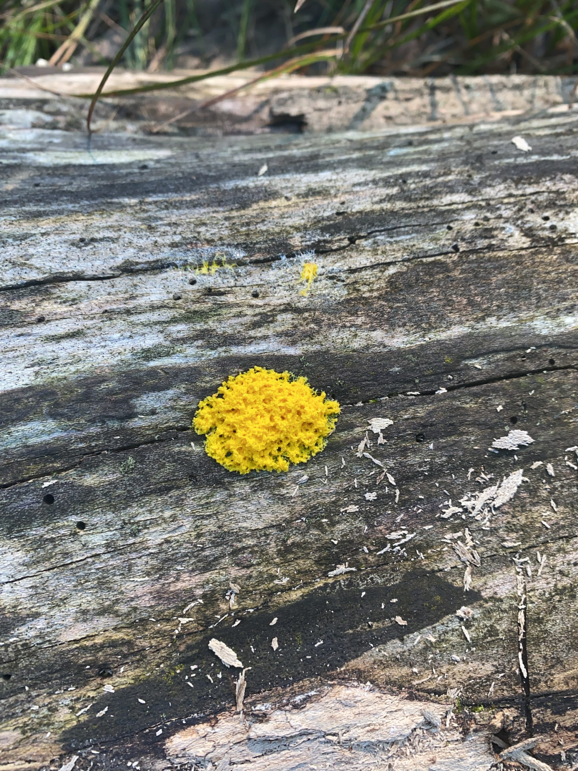
I used my Seek App to identify some slime mold, and I’ll never ever forget about it. It’s called Dog Vomit Slime Mold. Crazy, insane name for anything. It’s so vibrant and cool looking.
The heat of the day was a struggle but manageable. I took it slow and had a few extra pack-off breaks than normal.
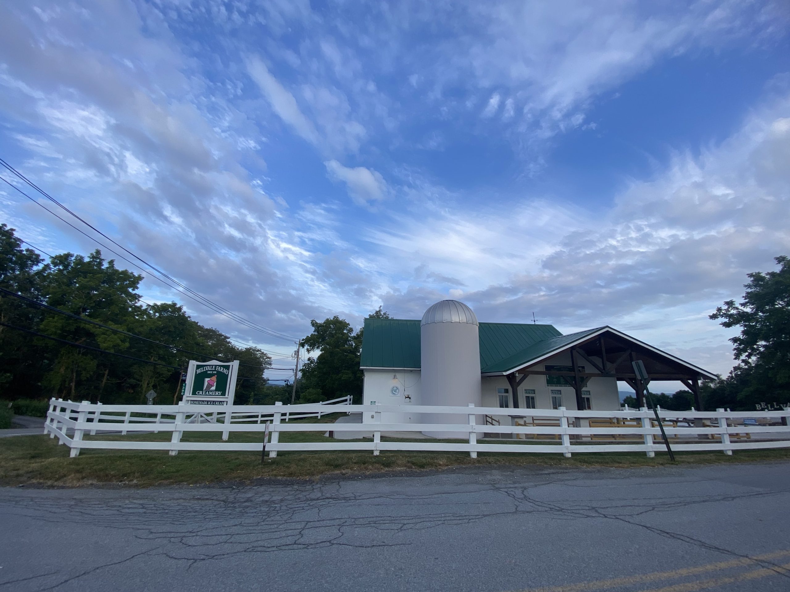
We got to a small waterfall and each took a dip. We only had about four miles to go til our evening destination, which was back to Nick’s friend’s house! We planned to meet them at Bellvale Creamery for ice cream, then ride home with them.
Neither of us wanted to sleep outside in 80-degree heat all night. This was a welcome break. We had London broil and potato salad, and regular salad with watermelon for dessert. Replenished our spirits. Their daughter, Juliana, is my new best friend. She’s such a happy baby and even let me hold her!
Sam and Matt dropped us back at the creamery around 6:30 am. The terrain today looked to be fairly easy, and we were excited! The NY/NJ border was only a handful of miles away. We started to cruise some miles until we got our last gifts from New York.
The whole state of New York felt like purgatory. After climbing up and down so many little pointless hills with little to no views and overgrowth tick heaven, we were ready to transcend beyond this place.
Just about as soon as we crossed over into New Jersey, we were gifted beautifully even terrain and well-maintained trails. It was a miracle. We were cruising at a 3 mph pace consistently for the first time since what felt like Massachusetts.
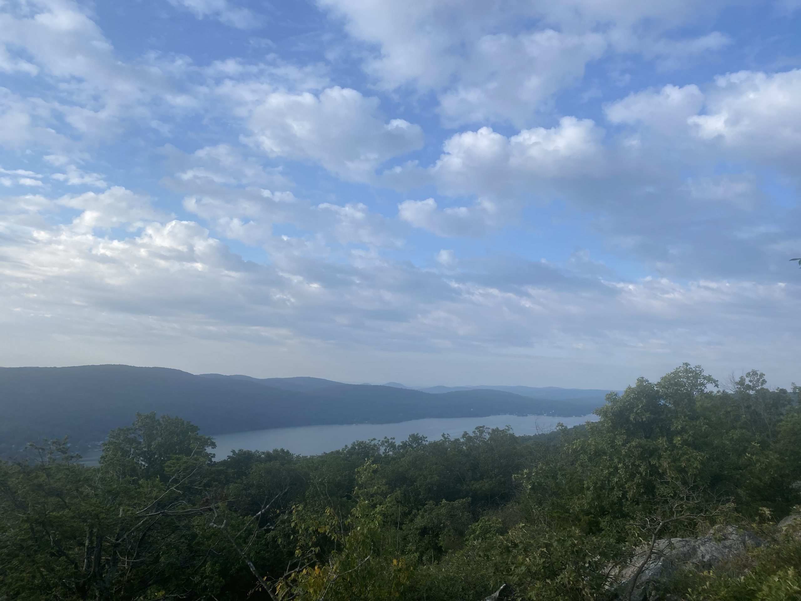
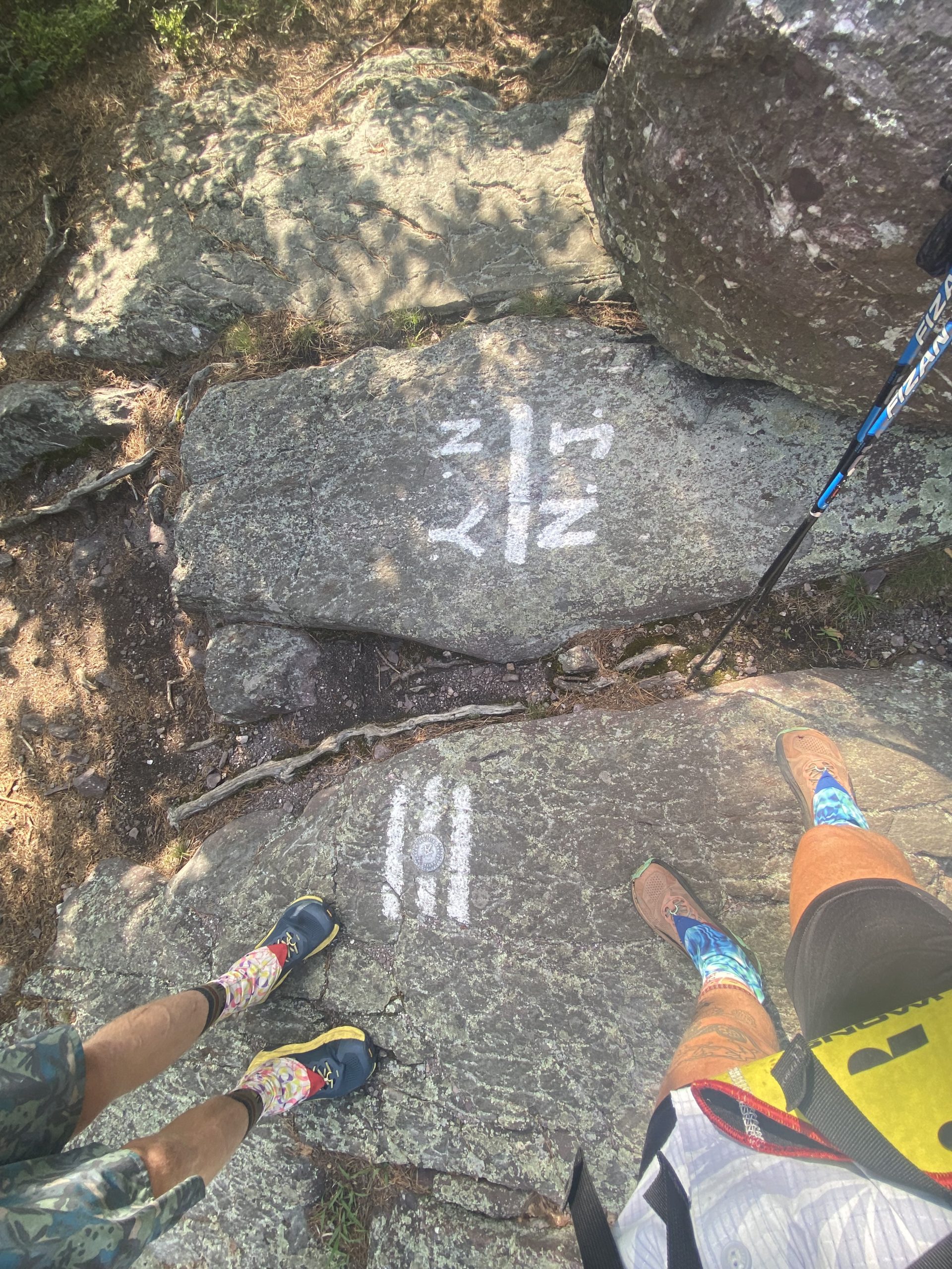
We made it up Wawayanda Mountain and got a glimpse of hazy, smoky views. Wildfires from Canada are happening again, it seems. There were tons of day hikers out. The famed Stairway to Heaven is what we got to walk down. It wasn’t bad at all.
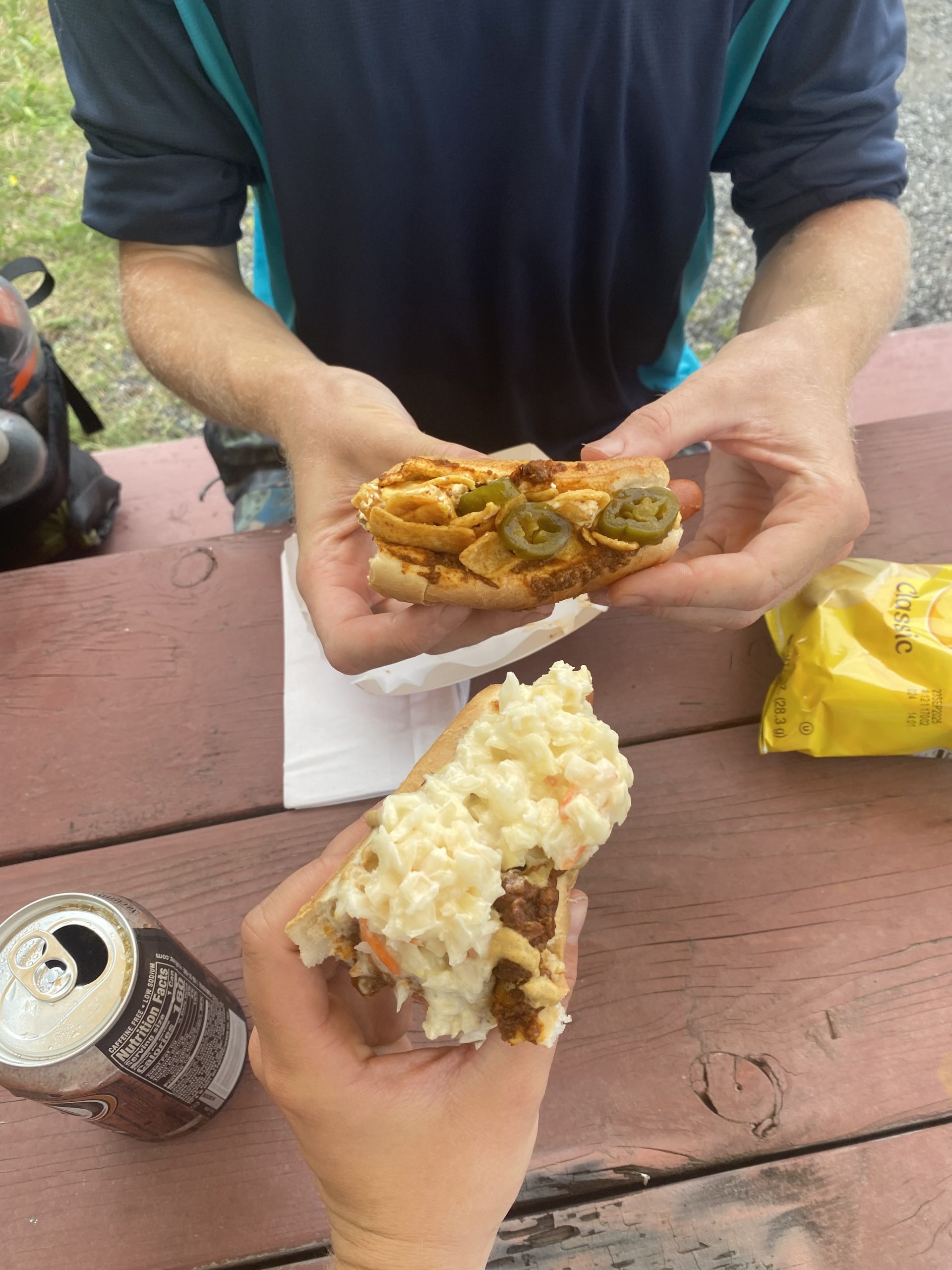
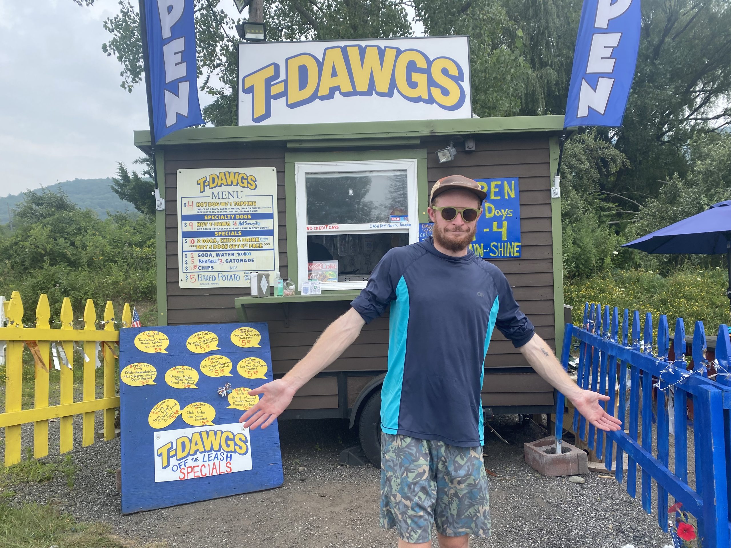
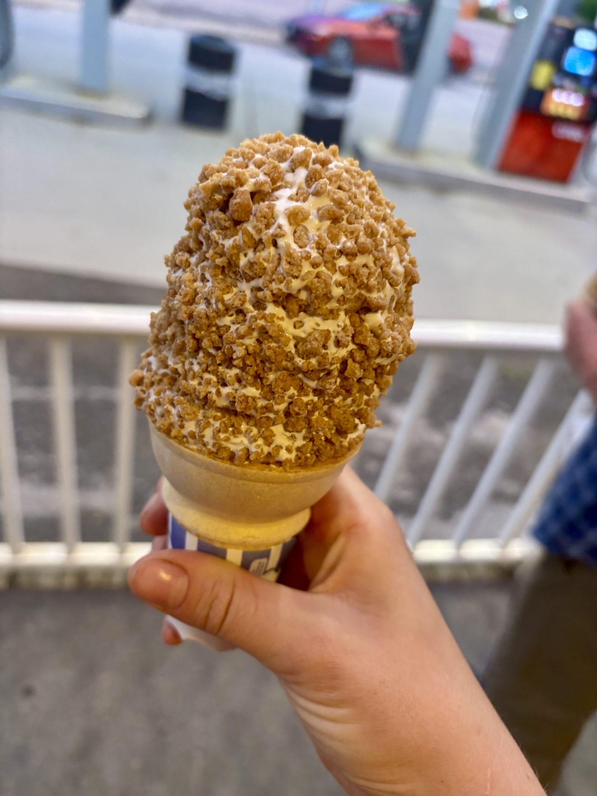
We stopped at a hot dog and ice cream spot for some nourishment.
Our campsite for the night was at a shelter, and we were sure to find one with a bear box tonight. Well-adjusted bears are rampant in these parts, so we needed to secure our food!
Affiliate Disclosure
This website contains affiliate links, which means The Trek may receive a percentage of any product or service you purchase using the links in the articles or advertisements. The buyer pays the same price as they would otherwise, and your purchase helps to support The Trek’s ongoing goal to serve you quality backpacking advice and information. Thanks for your support!
To learn more, please visit the About This Site page.
The end is so close, I can see the Canadian border over the mountaintops. In this stretch of hiking across the Green Mountains, I found three key ways to keep the trail on my side.
1. Side quests are your best friends
This section of the trail taught me the importance of having a plan, and maybe not always sticking to it. Enter what I love to call my side quests.
The most amazing side quest was the Lake Mansfield Trout Club (Shoutout Birds Eye and Bird Eye’s family for getting us in!) We hiked down a side trail to Lake Mansfield and spent the entire afternoon watching fly fishermen on the water, playing cards, and doing puzzles. In the evening, we had a delicious dinner and hiked back to the Long Trail as the sun began to set. Pretty soon, we had to hike with our headlamps in the pitch black and buggy night.
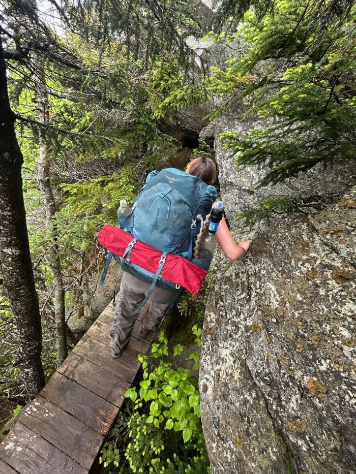
Then, we went on another side quest, this time down a side trail through a short cave in the dark. We climbed down a tall ladder and between boulders, hearing the sounds of the evening and our voices echoing between rock walls. It was just the last bit of adrenaline I needed to keep pushing a few more miles to camp for the night.
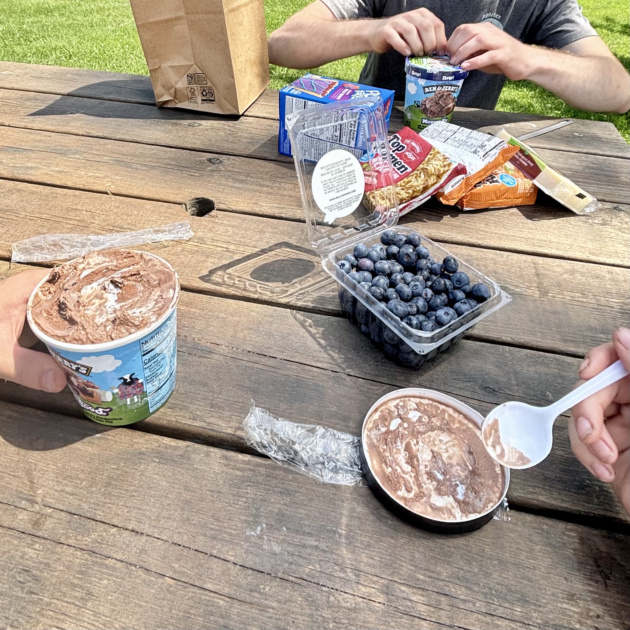
On the summer solstice, we took advantage of the extra daylight. At the time, I was hiking with three other eager northbound hikers and one hiker’s supportive parents. The six of us went on an off-trail side quest to the Eden General Store. Ben & Jerry’s Ice Cream and fresh blueberries made for the perfect afternoon. We had plenty of time to finish the miles for that day and make it to the Tillotson Camp shelter.
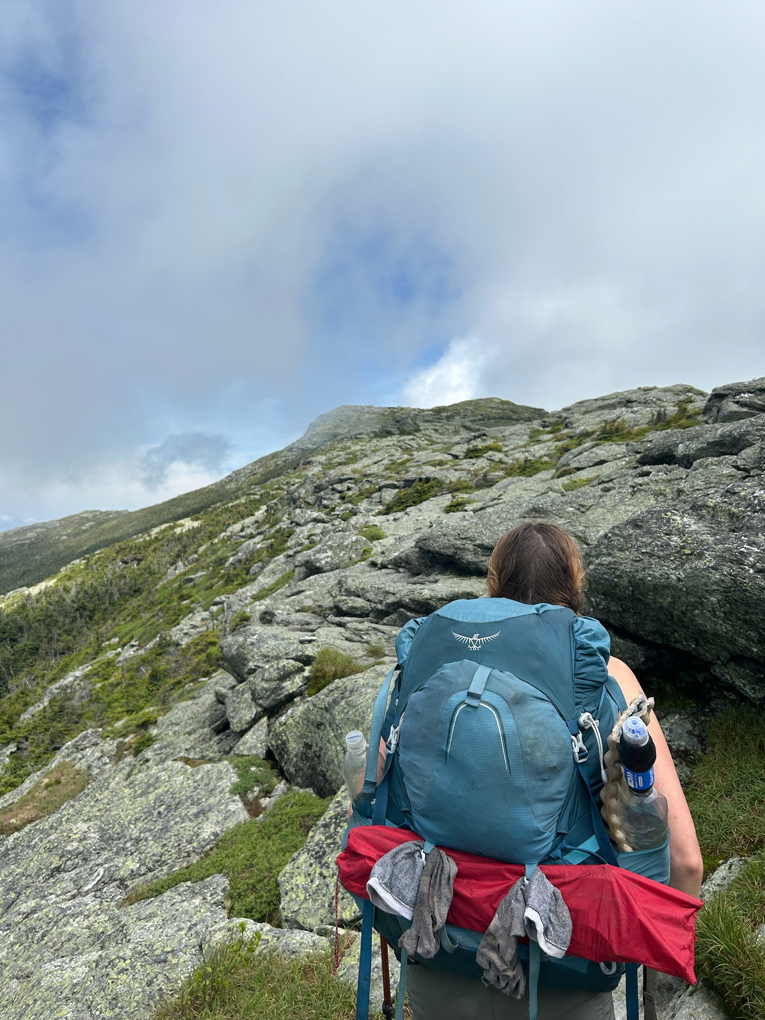
These side quests were just little stops on the much bigger adventure of hiking the Long Trail, which included beautiful main events like climbing the tallest mountain in Vermont, the iconic Mount Mansfield.
2. Make every day fun (and make friends!)
Why get up at sunrise to hike in the pouring rain when you don’t have to? On the morning of the 22nd day, I was a little over the sufferfest. I had woken up to the sound of rain pouring over my slug-covered tent at Tillotson Camp shelter. Rather than getting up with the sun to hike in the pouring rain, I went back to bed and began hiking at 11 am after the rain had cleared. We didn’t have to hike very far that day, so why rush?
Our mini tramily grew from two to four over the last few days on trail. I enjoyed seeing more thru-hikers and section hikers again, after a few days of seeing barely anyone else on trail. There was a sense of camaraderie toward the end, celebrating each tiring mile to Canada. When I would get stuck in the repetition of the trail, I would ask myself, “How can I make this day more fun?”
3. Collect stories
Other times, I would ask myself, “Would this make for a good story?” It was like I was on a mission: to collect stories like Pokémon cards.
I tried to own up to my trail name, Storyteller, to listen, tell, and document the stories of this Long Trail journey. This kind of thinking helped me get through some of the tougher miles. When the trail didn’t feel fun, at least the hard moments could make for a funny story.
One story made me grateful for community and the kindness of strangers. On the morning we left Johnson, VT, we resupplied at the Dollar General and waited in the pouring rain to hitch a ride to the trail. We stuck out our thumbs to the road as cars sped by, splashing our raincoats with cold, wet puddles. My hair turned to streaks, and our fresh clothes were soaked. We were two hikers who could walk for miles for days on end, who were now standing in the pouring rain and praying for a ride.
For weeks, I had been thinking back to the phrase, “you are the cause of your own suffering,” and laughing at myself. I couldn’t help but think about how just hours before, I had a hot shower and blueberry pancake breakfast. I was out in the elements again, by my own free will.
Just when I was dreaming of food, a delivery truck driver stopped to deliver us trail magic. This transformed us from two sad hikers in the rain to two smiling hikers in the rain. We continued waiting for a ride, with a little more hope. Then, a kind couple with a very hairy dog saved us from the thunderstorm and drove us to Johnson Hardware. At the store, we were welcomed inside and waited out the rain.
I was overwhelmed by the kindness of strangers and the community I had found on this trail. Each little encounter became a big story that helped me laugh at myself and the rain, and ultimately move forward.
Affiliate Disclosure
This website contains affiliate links, which means The Trek may receive a percentage of any product or service you purchase using the links in the articles or advertisements. The buyer pays the same price as they would otherwise, and your purchase helps to support The Trek’s ongoing goal to serve you quality backpacking advice and information. Thanks for your support!
To learn more, please visit the About This Site page.
Starting the second stretch
After the first stretch of the trail which was from Shelter Cove to Santiam Pass, it was time for the second stretch. It started nice with some treats from the Sisters Bakery. Soon the trail led through Mt. Jefferson Wilderness and the number of hikers rose. It seemed like I was just ahead of a smaller bubble which has now caught up to me during my rest days.
The landscapes also changed and so did the way of hiking. No more lakes meant no mosquitos but also no possibilities of swimming anymore. This was good and bad at the same time. I missed my swimming brakes but I did not miss the mosquitos.
Burnt areas
Another reason for the lack of mosquitos were probably the huge burnt areas the trail leads through. It was scary to see how much forest got destroyed, especially knowing that many of these fires happened after 2019. This triggered again a feeling of sadness in me. I told myself that I could have walked through nice forest here if I would have not had to quit the trail and some melancholy caught me. It made me ask myself some almost philosophical questions about if the PCT is still the PCT or not. The trail for sure is the same but the experiences are different was the answer that I came up for myself.
After crossing one of the biggest burnt areas I have ever seen, I finally arrived in an oasis that could probably be considered the highlight of Oregon (with Crater Lake in my opinion). Jefferson Park was insanely beautiful and peaceful. And there were lakes to dip in! It was heavenly after walking through shadowless dust. Additionally it gave a feeling of having reached another milestone.
The milestones this year are all smaller and closer together but they provide a feeling of accomplishment. Compared to 2019 it was only the hiked miles by day that provided such a feeling. I’m really happy that I can perceive the trail at this stage so different than 6 years ago. My concerns and worries about not being in thru hiking shape and not being part of this group slowly diminished.
Trail magic and feeling like being home again
As the number of thru hikers rose, so did the conversations with them. One thing that every hiker wants to hear has been passed along like a beacon by southbounders: Trail Magic. Just before Timothy Lake there are two groups of trail angels providing magic for us hikers. The first one, Carbs, made enormous pancakes for us and the second provided hamburgers, grilled cheese sandwiches and much more. There I could also meet some hikers and get to know them better. Doing so, I got the feeling of belonging back and boy, this was so good.
The following days I jojoed around the same hikers and this feeling of continuity reminded me of my first attempt in 2019. The combination of the Trailmagic and the other hikers finally made me realize that it doesn’t matter if I have not started at the Mexican border and I found my peace in being the hiker I am for this season. The daily mileage I was able to do has also increased so you could say that I was finally back home again.
Timberline Lodge and Hiker Hunger
One of the next stops was the famous Timberline Lodge and its breakfast buffet. It was interesting that this year there was apparently a discussion about if the breakfast or the lunch buffet was better but my choice was definitely the breakfast buffet. Being there it was hilarious to see all the backpacks standing around the lodge and realizing the majority of guests were hikers. The buffet was good for sure but my Hiker Hunger not quite there yet. Anyway, it was a really nice experience and for picking up my resupply box in Government Camp I even got a hitch on the back of a pick-up truck. What else could you ask for?
Leaving Timberline after making some more hiker friends, I took an alternate via Paradise Park which was beautiful and full in bloom. Passing Ramona Falls and camping there shortly after was nice too.
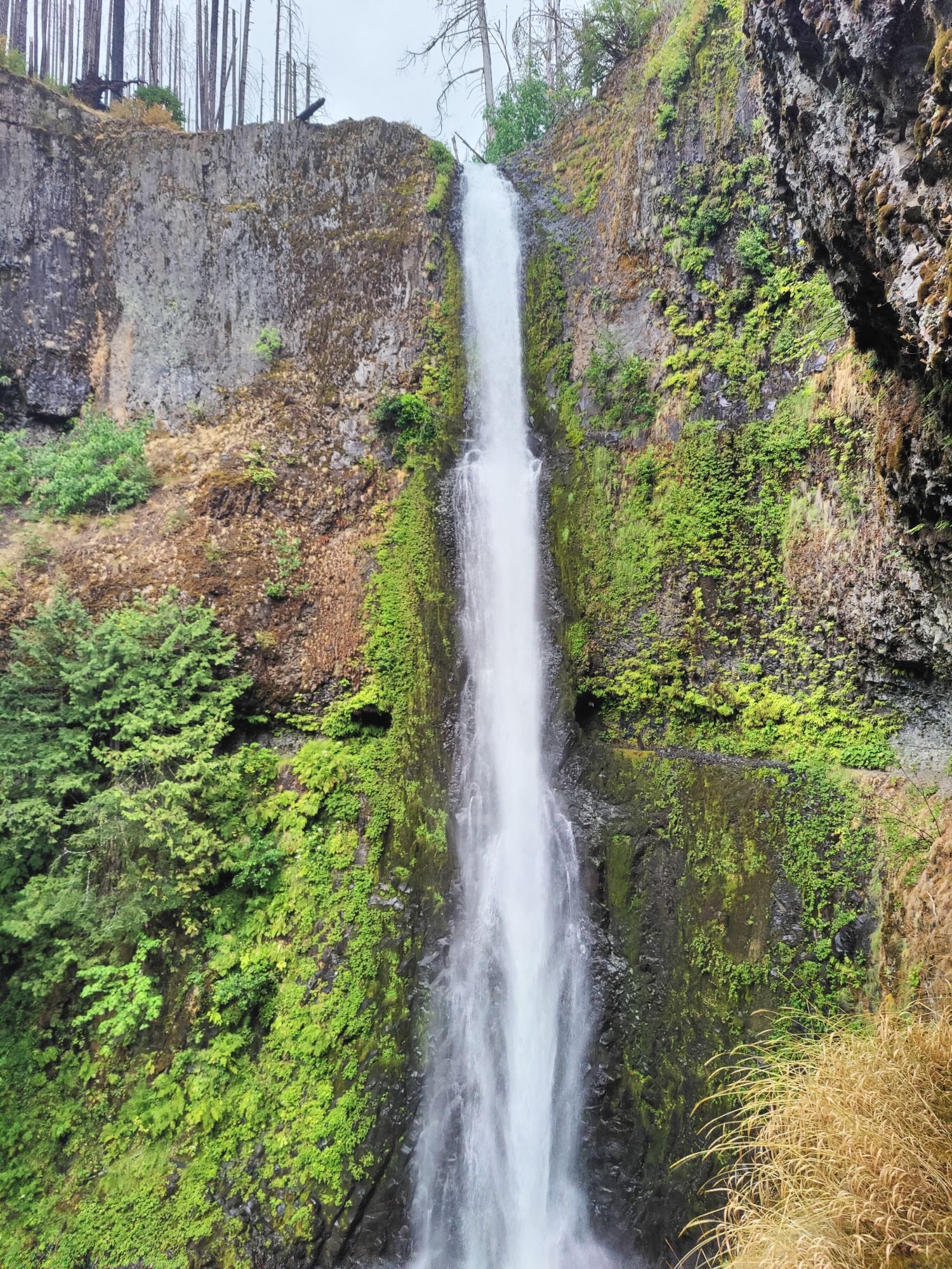
The next day I headed into Eagle Creek to see Tunnel Falls. There I have met 2 other hikers who left the trail and went on a road trip now. We agreed on going to Portland together the next day since this was my planned next stop anyway.
All these spontaneous things, TrailMagic and Angels, Hitches with strangers and making friends with other hikers is what makes this trail so special for me. Of course the nature is beautiful as well but in the end it is the people.
Crossing into Washington soon
Soon I will cross the Bridge of the Gods, I am sure this will be an emotional moment for me that I have imagined in the past 6 years already. Just approaching Cascade Locks caused some shivers for me. More about that later
Affiliate Disclosure
This website contains affiliate links, which means The Trek may receive a percentage of any product or service you purchase using the links in the articles or advertisements. The buyer pays the same price as they would otherwise, and your purchase helps to support The Trek’s ongoing goal to serve you quality backpacking advice and information. Thanks for your support!
To learn more, please visit the About This Site page.
-

 Brand Stories3 weeks ago
Bloom Hotels: A Modern Vision of Hospitality Redefining Travel
-

 Brand Stories2 weeks ago
CheQin.ai sets a new standard for hotel booking with its AI capabilities: empowering travellers to bargain, choose the best, and book with clarity.
-

 Destinations & Things To Do3 weeks ago
Untouched Destinations: Stunning Hidden Gems You Must Visit
-

 Destinations & Things To Do2 weeks ago
This Hidden Beach in India Glows at Night-But Only in One Secret Season
-

 AI in Travel3 weeks ago
AI Travel Revolution: Must-Have Guide to the Best Experience
-

 Brand Stories1 month ago
Voice AI Startup ElevenLabs Plans to Add Hubs Around the World
-

 Brand Stories4 weeks ago
How Elon Musk’s rogue Grok chatbot became a cautionary AI tale
-

 Brand Stories2 weeks ago
Contactless Hospitality: Why Remote Management Technology Is Key to Seamless Guest Experiences
-

 Asia Travel Pulse1 month ago
Looking For Adventure In Asia? Here Are 7 Epic Destinations You Need To Experience At Least Once – Zee News
-

 AI in Travel1 month ago
‘Will AI take my job?’ A trip to a Beijing fortune-telling bar to see what lies ahead | China
You must be logged in to post a comment Login