
Published August 8, 2025 03:00AM
Destinations & Things To Do
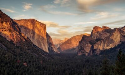
The Real ‘Untamed’ Yosemite Is Better Than Fiction
The Netflix series set in Yosemite didn’t film there, so our national parks columnist shares its overlooked places that deserve the spotlight.
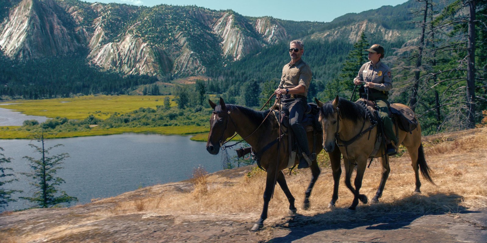
“Untamed,” a Netflix series, is set in Yosemite National Park but was primarily filmed in British Columbia, Canada. (Photo: Courtesy of Netflix © 2025)
Yosemite National Park is gorgeous. That was my first impression when I watched the pilot of Untamed, the Netflix drama that follows a ranger investigating a murder inside one of the most iconic parks in the country. A lot of viewers—and National Park experts— expressed frustration with the show, mostly because the producers got a lot of the details wrong, from the human history of the park to the depiction of search and rescue procedures. Oh, and the fact that the majority of the show wasn’t even filmed inside Yosemite is a major point of contention. Most of the show was filmed in British Columbia, Canada, and according to Netflix, stand-ins included Mount Seymour and Callaghan Valley in Whistler. But the opening scenes of the first episode prominently features Yosemite Valley with a couple of dramatic bird’s eye view angles of the park’s granite that are absolutely mesmerizing.
I saw the opening sequence and I didn’t care what the rest of the show was about. I just wanted to see more of that landscape. John DeGrazio, founder of YExplore, a guide service in Yosemite National Park that specializes in photography hikes, understands the allure of that landscape.
“I was drawn in by the Valley during my first visit in 2003, so much so that my wife and I decided to move here without knowing a soul,” DeGrazio says. “I had visited a lot of other national parks, but Yosemite has this intrinsic magic to it. John Muir nailed it when he said the Valley was unparalleled.”
Beyond Yosemite Valley, Landscapes That Deserve the Spotlight
It’s dramatic landscapes make a intriguing setting for TV show, even a melodrama that gets a lot of the details wrong. But here’s the thing about Yosemite National Park: the landscape is just as stunning when you leave the Valley.
“The Valley is only percent of the park,” DeGrazio says. “Start walking away from the crowds and not only will you find solitude, you’ll find more granite domes and meadows and lakes…the diversity of landscape inside the park gives you a variety of scenes with a lot of awe factor. Anywhere you turn, you can find a sense of magic.”
Half Dome, El Capitan, Yosemite Falls … you could spend a lifetime staring at these landmarks from the Valley floor, but you’d miss out on some of the most amazing views in the park. Here are seven of the most photogenic scenes, from the edge of Yosemite Valley to the park’s less-crowded backcountry that deserve the spotlight, too.
Cathedral Lakes
There are more than 3,200 natural lakes inside Yosemite National Park, but a solid argument could be made that Cathedral Lakes, a watery duo in the High Sierra near Toulomne Meadows, are the fairest of the bunch. The 10,916-foot tall Cathedral Peak rises directly from the edge of Upper Cathedral Lake, while Lower Cathedral has broad expanses of sloping granite dropping down to its shore. Lower Cathedral also offers an expansive view of the Sierra High Country, including Tenaya Lake, from its shore.
How to Get There
Reaching the Cathedral Lakes requires a nine-mile hike out and back on a piece of the John Muir Trail from the Cathedral Lakes Trailhead, in the Tuolumne Meadows area. It’s a popular trailhead, but the crowds will be nothing like what you experience inside the Valley. The hike itself would be a worthy adventure even if it didn’t end at a couple of gorgeous lakes, as it passes through meadows and requires the occasional creek crossing. A half-mile spur trail leads to Lower Cathedral, which is the more popular destination, but I say visit both.
North Dome
North Dome itself is an impressive piece of granite, rising to 7,546 feet along the northern rim of Yosemite Valley, but you want to summit this mountain because of its view of a more famous piece of granite, Half Dome, which is directly across the Valley floor. Some have made the argument that the view of Half Dome from North Dome is the best in the park. Maybe. You’ll also get to see El Capitan and Clouds Rest from this perch, not to mention a huge chunk of the Valley itself. This is a great alternative to hiking Half Dome or Clouds Rest.
How to Get There
The easiest way to reach North Dome is a nine-mile hike out and back from Tioga Pass from the Porcupine Creek Trailhead. You’ll bounce from forest to meadow until reaching the base of North Dome, then it’s a ramble along rounded granite to the summit. You’ll start seeing Half Dome as soon as you hit the granite, but keep going to the sloping edge for the best view. You’ll also have the option to take a 0.3-mile side hike to Indian Rock, Yosemite’s only natural arch.
Merced Grove of Giant Sequoias
Giant sequoias are the largest known trees in the world, with canopies that can stretch 300 feet towards the sky and trunks that can be 30 feet around. These are the massive redwoods that can be found on the slopes of the Sierra Nevada Mountains, and Yosemite National Park has three giant sequoia groves. The Merced Grove is the smallest of the lot, with about 20 behemoth trees. But its trees are just as big, if not bigger, than the other two groves and it’s the least crowded of the three forests, which means the photo you take of your hiking partner hugging a tree will be unique. The redwoods are scattered throughout a small area of forest, but there’s a cluster of five of them flanking the trail that makes for an awesome photo.
How to Get There
Hike the three-mile hike out and back on an old road bed from the Merced Grove Trailhead off of Big Oak Flat Road. It’s an easy hike during the warm months, or a challenging snowshoe or cross country ski during the winter. You’ll pass an old ranger cabin, which used to be the superintendent’s vacation cabin, along the way.
Sentinel Dome
You like mountains with 360-degree views? Sentinel Dome might have the best 360 view in the entire park, with something dramatic in almost every direction you look. Stand on top of Sentinel and you’ll see Yosemite Falls and El Capitan to the north, Nevada Falls and Half Dome to the east, and the Merced Canyon to the west. The view of Yosemite Falls is particularly good. That 2,425-foot waterfall has sections that are obscured from most vantage points, but you can see almost the entire ribbon of water from Sentinel.
How to Get There
It’s a 2.2-mile out and back hike on the Sentinel Dome Trail, off of Glacier Point Road. You’re not going to have the view to yourself, but it’s nice to share pretty things. You can tack on an extra couple of miles and create a five-mile loop that takes in Taft Point for another great view of El Capitan. If you can time your hike for sunset, and bring a headlamp for the hike back to your car, you won’t be sorry.
Gaylor Lakes
Remember when I said Cathedral Lakes were arguably the prettiest of Yosemite’s ponds? Gaylor Lakes are the other side of that argument. There are five different lakes inside this high elevation valley, all of which are surrounded by some combination of lush meadows, tan boulders, and granite ridges. So take your pick of photo opportunities here. Middle Gaylor Lake is flanked by sloping granite on one side and lush meadow on the other. Small, gray boulders dot the grassland and taller mountains, including Cathedral Peak, rise on the horizon. It’s a stunner. But you’ll also get to see Upper Granite Lake, which is nestled in the bottom of a dramatic bowl, and Lower Granite Lake, a narrow affair offering views of distant peaks.
How to Get There
It’s a three-mile round trip on the Gaylor Lakes Trail off of Tioga Road. It’s relatively easy going two-mile out and back with all kinds of eye candy along the way. Loop trails encircle both Middle and Upper Gaylor Lakes and people have been known to hike off-trail throughout this pristine basin, so give yourself time to explore.
Lembert Dome
Tired of looking at Half Dome and El Cap? No, but there are other views, like from the top of Lembert Dome, a 9,449-foot tall hunk of granite that overlooks Tuolomne Meadows and its surrounding peaks. From the top of Lembert, you get a bird’s eye view of the massive meadow below. You’ll see smaller domes popping out of the forest, and the Tuolomne River carving a sinuous route through the grass. The horizon is dominated by peaks, like Cathedral and Mount Dana. But you could argue that the view from the meadow looking towards Lembert Dome is equally impressive, as the distinctive granite dome rises dramatically from the dark green forest.
How to Get There
Start from the Lembert Dome Trailhead on the edge of Tuolomne Meadows off of Tioga Road. It’s a straightforward hike through the forest at first, then you hit the exposed rock of Lembert and it’s a choose your own adventure to the top. You can also create a five-mile lollipop loop that summits the dome and wraps around Dog Lake, a small pond surrounded by forest.
Chilnualna Falls
Much like Yosemite Falls, Chilnualna Falls is a beast with so many different tiers, it can’t be seen from a single perspective. Unlike Yosemite Falls, you won’t stand in line for a great photo, as its remote location and tough hike keep the crowds at bay. Chilnualna is a collection of five different cascades that drop a total of 700 feet through a granite gorge. The tallest tier is over 300 feet, but it’s the 50-foot Lower Chilnualna Falls that’s arguably the most dramatic and offers the best photo, as it’s flanked by granite walls dropping into a pretty pool at the bottom. There are plenty of chances to get up close and personal to this falls. You can even scramble up to the next tier to find another drop and pool. Peak runoff in early summer is when it’s most dramatic, but it’s beautiful year round.
How to Get There
Start at the Chilnualna Falls Trailhead off of Chilnualna Falls Road in southern Yosemite. It’s a tough hike that begins along the creek, but quickly starts climbing through the forest via a series of switchbacks. The climbing doesn’t really stop until you reach the falls. All in, you’ll climb 2,500 feet during this 8.5-mile roundtrip hike that doesn’t get a lot of attention, so you won’t need to fight crowds to get your shot.
Watch Our Tips for Visiting Crowded (and Underfunded) National Parks This Summer
Graham Averill is Outside magazine’s national parks columnist. One of his most memorable backpacking trips was inside Yosemite National Park. He recently wrote about the perfect summer road trip through West Virginia.
Graham Averill is Outside’s National Parks columnist, as well as a gear columnist for the magazine, spending most of his time writing about travel and the equipment he uses while traveling.
He grew up in the South before bouncing around the West where he studied at the University of Colorado and fell in love with skiing, surfing, and mountain biking. Eventually he and his wife settled down in the Southern Appalachians because it’s the only place in America where you can get boiled peanuts from a roadside stand.
He’s contributed to a wide range of magazines, from Bike mag to AARP, and he really likes to write stories about pushing his own limits. Also, he jumps at the opportunity to write about his truck.

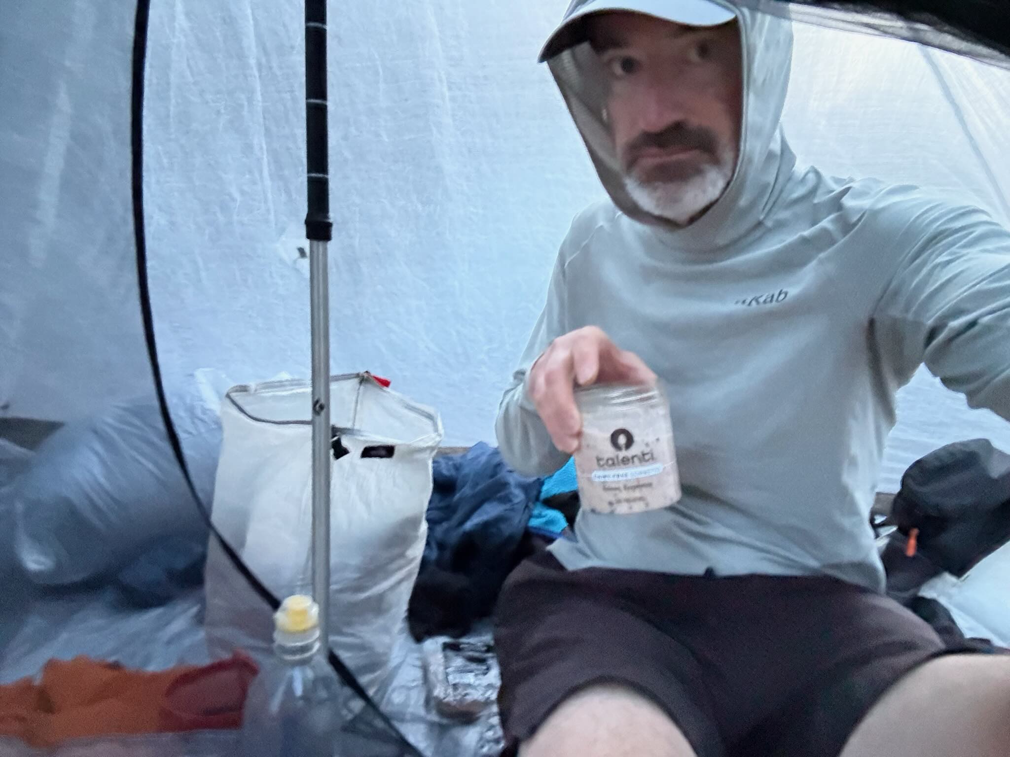
Another day, another non-restful night of sleep. I don’t know what’s been going on recently. Well, I kind of do, it’s definitely just the humidity kicking my ass. That and the constant need to wake up at 5 every day. I don’t know what’s happened, but I always need to wake up to pee, like I’m someone 40 years older than I actually am. In the woods, it’s not too bad. I usually crawl out of the tent about five feet, and can pee wherever. But the hassle of going to the bathroom (which… in most hostels… is down a set of stairs. My knees!), and then getting back into bed makes it worse in hostels for some reason. I can’t really explain it.
Anyways, someone’s probably not happy that half the time, all I do in these blog posts is potty talk. But it’s a huge part of the trail :).
Today, I also got woken up at 5 by a Southbounder asking where the coffee was. Ha… ha… ow my head. Being woken up early doesn’t help much more. But it was good to get up early anyways. The shuttle back to the trailhead’s at 7:45, and I still need to make my own breakfast.
That’s my one (small) complaint about Wise Pines, for a hostel that’s so far out of town, it’s hard to actually make sure you have enough food for your stay here. And while there is a small farmstand with bagels and stuff (which I greatly appreciated!), I felt between having to pack my pack in the pack shed, and cooking/asking trail angels for help yesterday, and then cooking this morning, I barely had time to get ready. Though, that’s partially my own fault. I could just be more prepared! Otherwise, I had a great night. The space itself was super comfortable, and Chelsea was a great host.
I ate some berries and drank coffee on our way back to the trailhead, where I asked Chelsea a bit about her hike. When she did it in ’17, she did it with a tramily of 12, and sometimes a baker’s dozen! I think about that when I contrast it with my own hike, where I think I’ve slept alone more often than not from Pennsylvania onwards. She actually said if she did it again though, she’d also be in a smaller group. It made me miss having a consistent hiking partner. More on that in a bit.
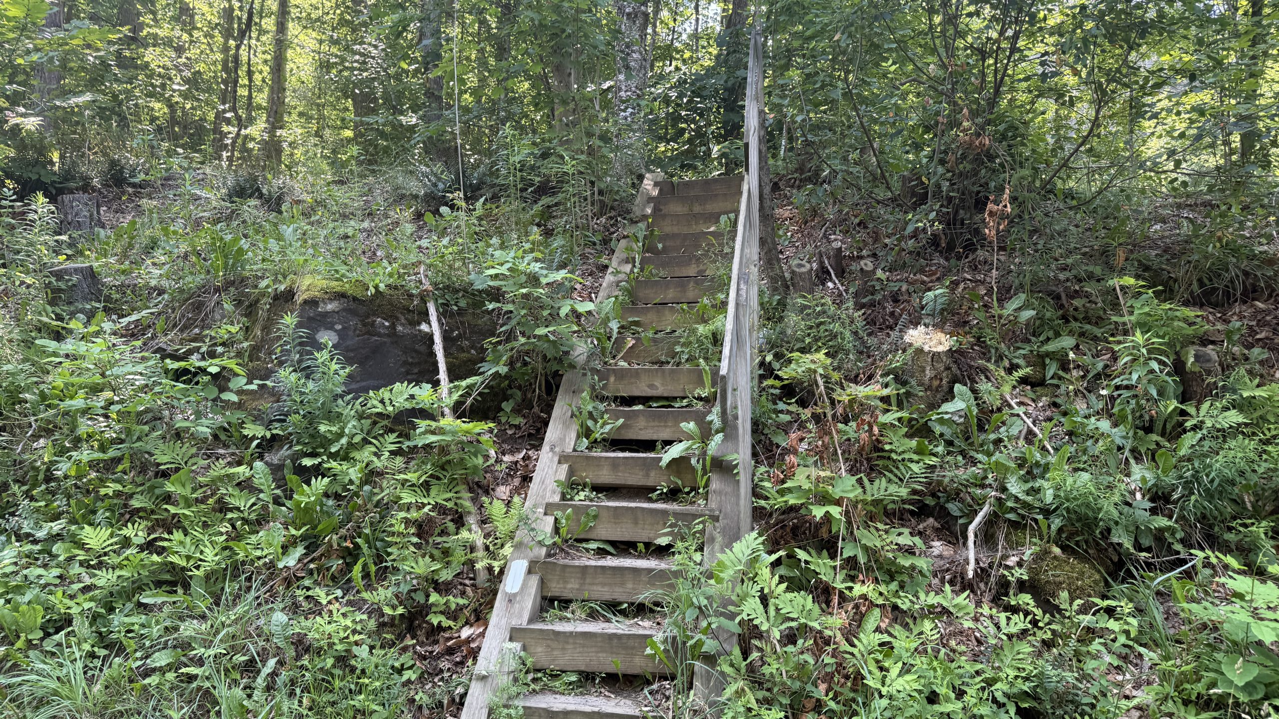
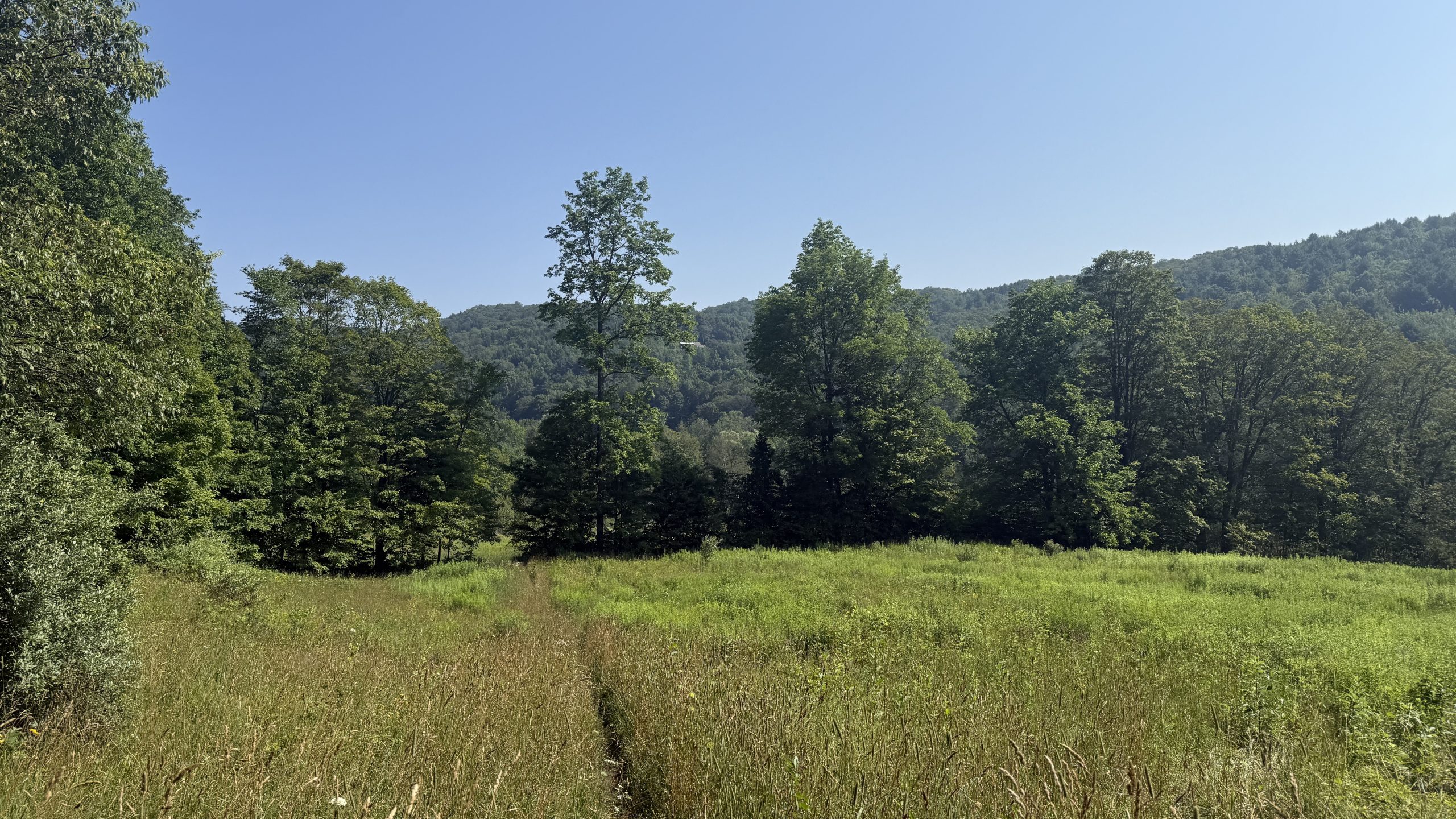
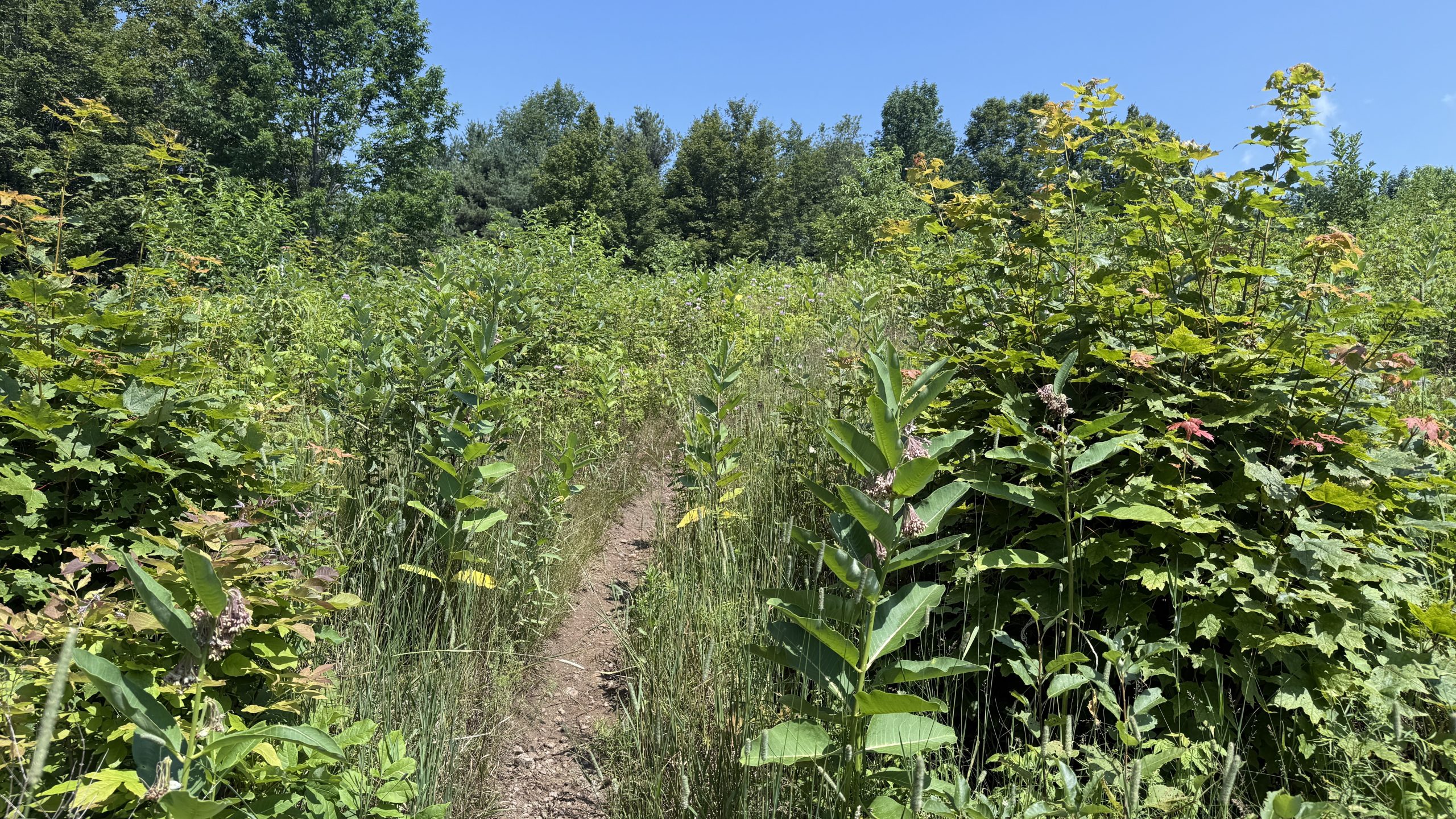
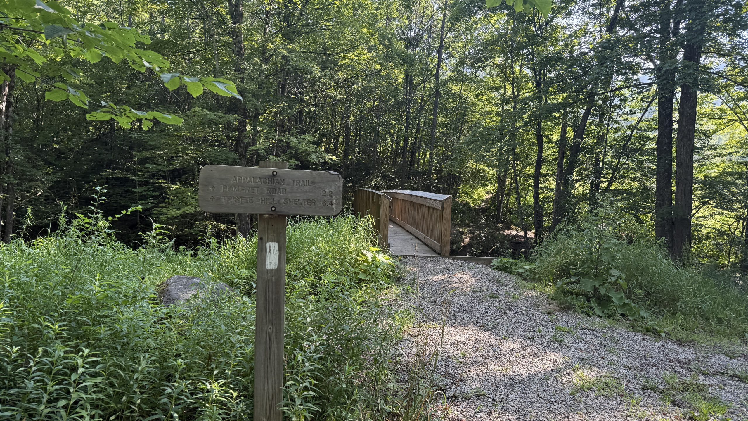
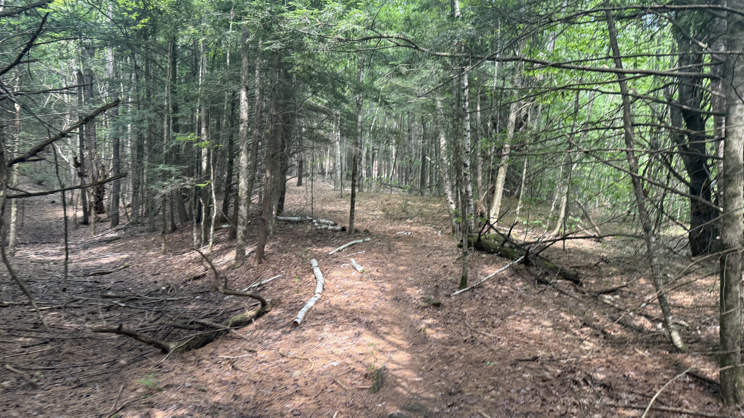
I have a theory that no one, not even the good ol’ Green Mountain Club, gives a s@#$ about the AT section that doesn’t coincide with the Long Trail. This could be because of conditions, but it felt like the hiking today was terrible, and not because of elevation gain, or mountains, or anything of the sort. No, it was just because I had to wrestle with suboptimal trail conditions for a lot of the day. Tall grass, unmarked paths, no views, and a sweltering heat. Electrolytes and water only did so much to cut through the rapid dehydration I was always experiencing, and just… the feeling of being wet. This is my last day in Vermont, and the only thing I can really say is I think this state actually might rate near the bottom half of my list when all is said and done.
There’s also just infinite bugs everywhere in Vermont. Even with DEET and a headnet, I still feel like I’m constantly swatting at bugs, and feeling phantom “pricks” all over my body. Every break where I try to eat feels like I’m the meal, not the sandwich I have. My feet are also just giving out. This late in the game, I don’t think most human bodies were meant to do this much. With adequate rest, I think that this amount of exercise could actually be good. But even now, if I took zeroes every other day, I don’t think the training I did before this (which would’ve been the last four months of hiking…) would actually be that productive, given how little rest I’ve had on the way through.
There were a few good things today, there were tons of raspberries on the trail! If I was a week behind, I think I’d be having a veritable feast, but I was still having a great time picking berries everywhere and enjoying them. I also checked FarOut to another pleasant surprise… I saw some comments from Stevie Wonder! Stevie’s another blogger I met at Wood’s Hole who’s doing the ECT this year. He was way far ahead of me until he needed to take 2 weeks off trail, but I’m happy to see him back on and out here again.
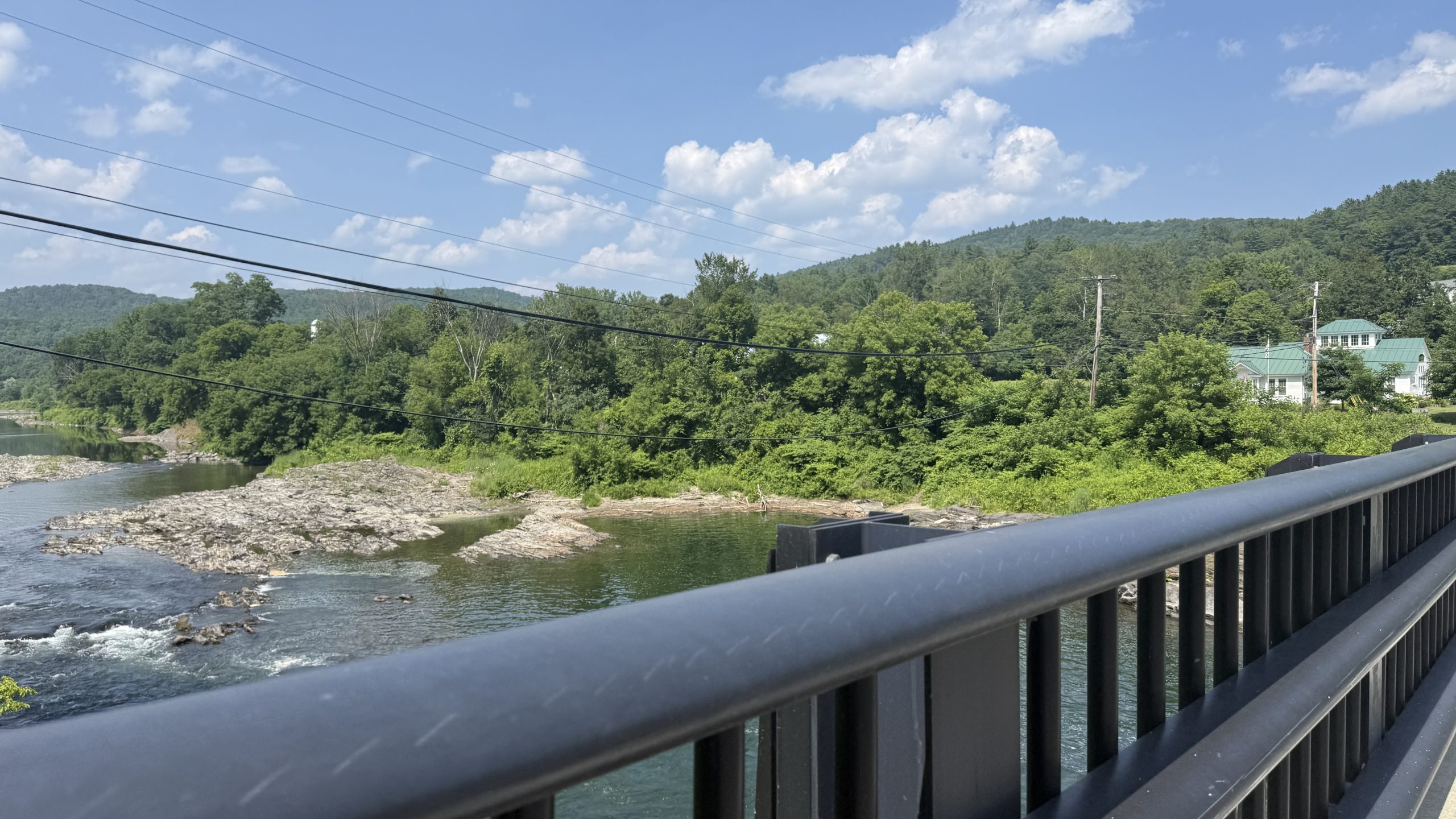
After a bunch of ups and downs, I started the long road walk into West Hartford, a town with… basically nothing in it. There’s nowhere to stay, other than tenting at trail angels, and there’s a library… and that’s about it. There’s also a bridge that people love jumping off of, but to be honest, I’m not a big fan of jumping from bridges. Call me a wuss or something, but I’ve had enough of that in my life.
While here, I ran back into Cosmo and Tallboy, who I met in Duncannon, and Warwick. You might ask “if you keep seeing them, why not hike with them?” Well, they’re doing a much different hike than I am. While they tell people of what they’ve hiked, the honest truth is a tale of yellow blazing. For those unfamiliar with the “coloured” blaze system, we all know that there are White and Blue blazes on the AT. White means you’re on the trail proper, blue means you’re following some sort of side path, usually water. Yellow blazing in this case is either roadwalking, or just straight up hitchhiking/shuttling ahead, while claiming those miles. For me personally, that doesn’t fly. I signed up to hike in the Appalachian MOUNTAINS, not the Appalachian roadways. You could even call me a “purist,” though there was one blue blaze I took for fun instead of the “regular” path (way back in Shenandoah). I don’t mind the yellow blazing too much… but the part I do mind is the constriction of resources for hikers. Those who can skip miles or guarantee where they’re going to be a week ahead can nab hostel/trail angel spots much earlier than I can. This actually will bite me in the butt later today, unfortunately.
The other part I just mind is lying about the mileage, or what you’ve done. But that’s for a different day. I just wish that if people were going to skip, they’d skip ahead of me haha. Like Leo did.
Then again, Hike Your Own Hike. Maybe I judge too deeply. We’re doing different things. But I’m no saint, and if you’re reading this, well, you’re looking for insights into my thoughts. So there they are :).
Anyways, the library was a nice reprieve in Air Conditioning. I stocked up on some nice ice cold water, and then hiked up back into the mountains in some sweltering heat. During this, I ran back into Away! I met him at Duncannon when he was taking a zero, and he’s relatively pure. I think as I took time off with friends and family, he’s caught up, but he’s not in the best way either. He was limping around, trying to combat his own fatigue. Apparently, he thinks he’s come down with a case of Lyme Disease. Which… also made me start worrying, maybe I have it too? I’m a bit of a hypochondriac to be honest, and so suddenly I was thinking back. Am I fatigued because it’s hot… or because I have Lyme? Should my knees hurt this much? Who knows…
I rolled into town decently late, just given how my body’s been failing me again. Near the end of long days, no matter how much I eat, I need to take constant sit breaks to feel ok to walk again. No matter how hard I try, every step feels heavy. It just feels like I can’t control my body. So at 7, I rolled up to the St. Barnabas Church in Norwich, VT. In Norwich and Hanover, there aren’t any hostels. It’d be too expensive to operate them in the area. Instead, there’s a network of trail angels that allow people into their houses. I actually contacted all of them, but all of them were booked for the night! So instead, I slept in the church basement, and while it was great (they have blueberry bushes outside!), it didn’t feature a shower. And I was SWEATY. Ew.
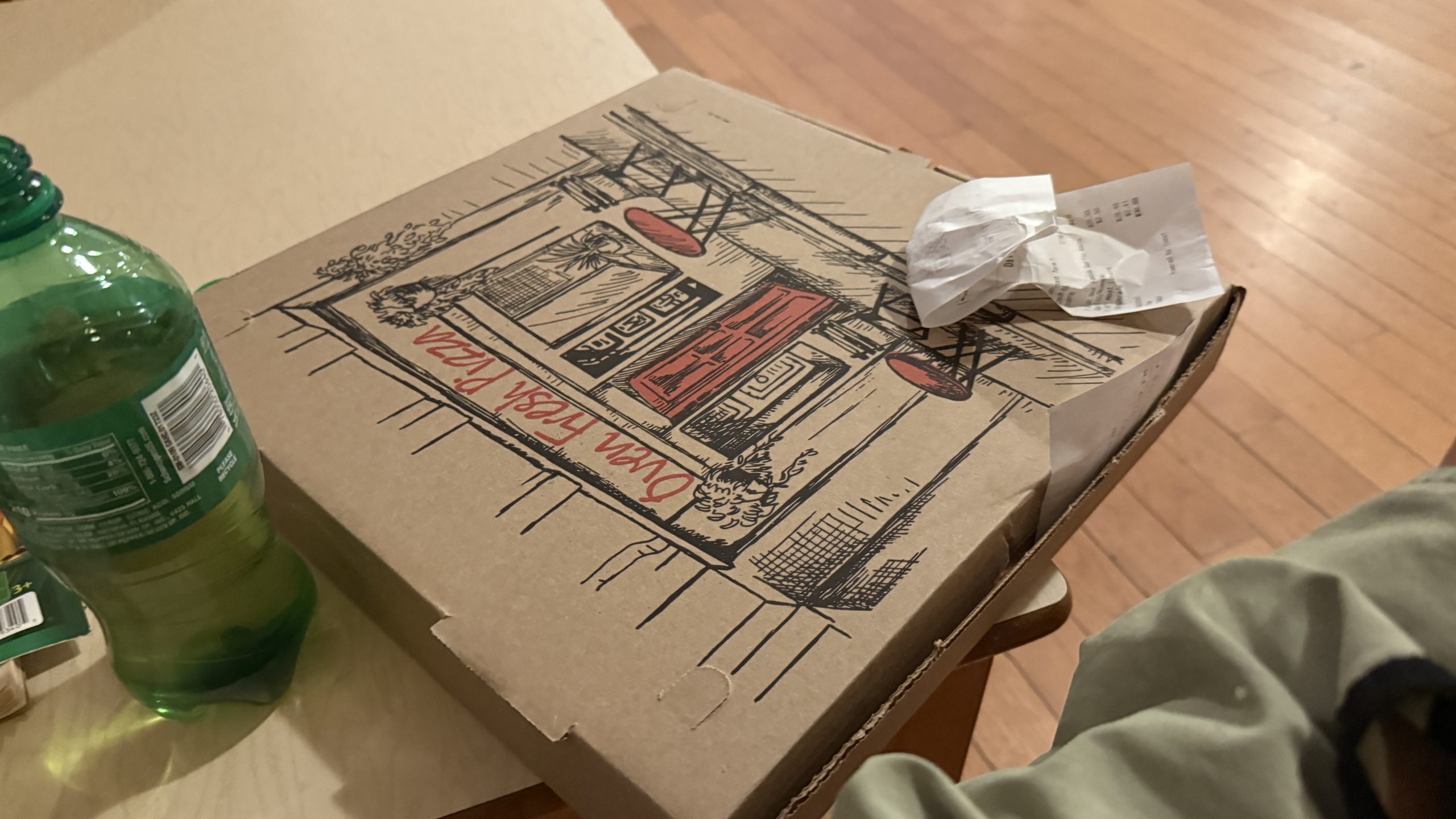
At the very least, I was able to order some pizza, and wash up my legs in the bathroom sink, though my body was sore the whole time trying to navigate up to the bathroom, and then out to get some pizza. I ate as much as I could, but also felt sick while doing it. I just don’t do well with eating lots. Mentally, that is.
I’m starting to get scared that my body’s not going to hold up for this journey more than anything. And that’s the last thing I expected. I’m hoping New Hampshire, of all things, saves me.
(also, to assuage the fears of readers who think that my body won’t hold… I’m in Maine now! So clearly I’ve done something right since then…)
(title lyrics from: Road to Hell II, Hadestown)
Destinations & Things To Do
Bali Now Deploys Immigration Officers with Bodycams to Monitor Top Tourist Destinations

Published on
August 8, 2025 |
The Indonesian Ministry of Immigration has confirmed the Bali Regional Immigration Patrol Task Force (Satgas) has been assigned to improve Bali’s top tourist destination. This new section of Satgas has been created to manage safety issues of safety related to unruly tourist.
Deployment of the Immigration Patrol Task Force
The Immigration Patrol Task Force will be carefully stationed at Bali’s tourist hotspots with the intention of solving issues caused by tourist behavior. The task force is part of a wider campaign to make certain that Bali, as the foremost tourism asset in Indonesia, continues to be a friendly and safe region for incoming tourists.
Key Responsibilities and Locations of the Task Force
The response team is made up of 100 officers which will be stationed to respond to law violations, disruptions to public order, disrespect for local customs, or any unfriendly behavior shown by foreigners. Under the Immigration Patrol Task Force, the officers will be responsible for monitoring ten immigration check points under the Ngurah Rai and Denpasar Immigration Offices.
The southern North Kuta patrol will track the tourism oriented Canggu, Seminyak, and Kerobokan. In Denpasar, task force will patrol Matahari Terbit Beach and Benoa. Other operational areas will be Pecatu where the team will patrol Uluwatu Beach, Bingin Beach, and Mertasari Beach. Kuta, Nusa Dua, and Ubud and other high traffic tourism hotspots will be patrolled regularly.
Use of Technology for Enhanced Monitoring
Every officer assigned to a patrol will be outfitted with a body camera to aid in monitoring and evaluation processes of the task force. For safety and identification purposes, the officers will don safety vests. This modernized system is anticipated to increase the effectiveness and accountability of the patrols as well as documentation and responsiveness to incidents.
For faster mobility, the Immigration Patrol Task Force will be provided with officially marked immigration department vehicles, including motorcycles, to seamlessly navigate through Bali’s heavy tourism areas. This enables quicker responsiveness and upkeep of order in the essential areas of patrol.
Legal Framework Supporting the Task Force
The legal basis for establishing the Bali Regional Immigration Patrol Task Force is due to Law Number 6 of 2011 concerning Immigration, Article 66 paragraph 2 letter b, along with Indonesian Government Regulation Number 31 of 2013 Article 181. These regulations grant the task force the legal jurisdiction to act in cases of tourists breaching immigration laws or causing public disorder.
The Ministry of Immigration has underlined that the task force is specifically created to ensure that tourists do not abuse the immigration system, enabling Bali to continuously embrace the presence of visitors. This task force is established to mitigate security threats and ensure the safe standing of Bali as one of the preferred destinations for global travelers.
Strategic Focus on Bali’s Tourism Areas
Bali is one of the leading tourism spots for international travelers, especially those coming from Australia and nearby Asian nations. With the growth of tourism on the island, upholding peace and order in the most visited spots has become crucial. One of the steps taken as part of the ongoing initiative to improve visitor services is to deploy the Immigration Patrol Task Force so that visitors appreciate and abide by the island’s traditions and rules.
This specific team has been assigned to such tourism centers as Kuta, Seminyak, and Uluwatu, embracing the broader approach of trying to keep Bali as safe as possible in the most visited regions. These areas which attract a huge number of domestic and international tourists are of a particular concern in terms of rowdy, bad conduct and local law violations.
Conclusion
The formation of Bali Integrated Regional Immigration Control Task Force exemplifies Indonesia’s efforts in safeguarding the integrity of its tourism hotspots. Orderliness and Bali’s reputation as a welcoming tourist destination shall be maintained through the use of body cameras and official vehicles. This initiative, alongside the other measures, aims to effectively balance tourism in Bali while preserving its unique allure.

*for more frequent updates, please follow us on Instagram @JulieandBobgoforahike, and/or @zapnuto*
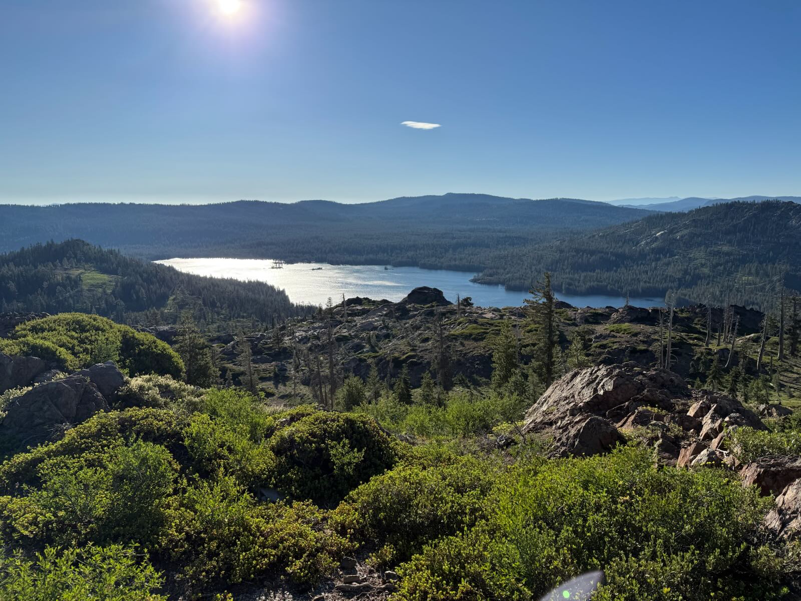
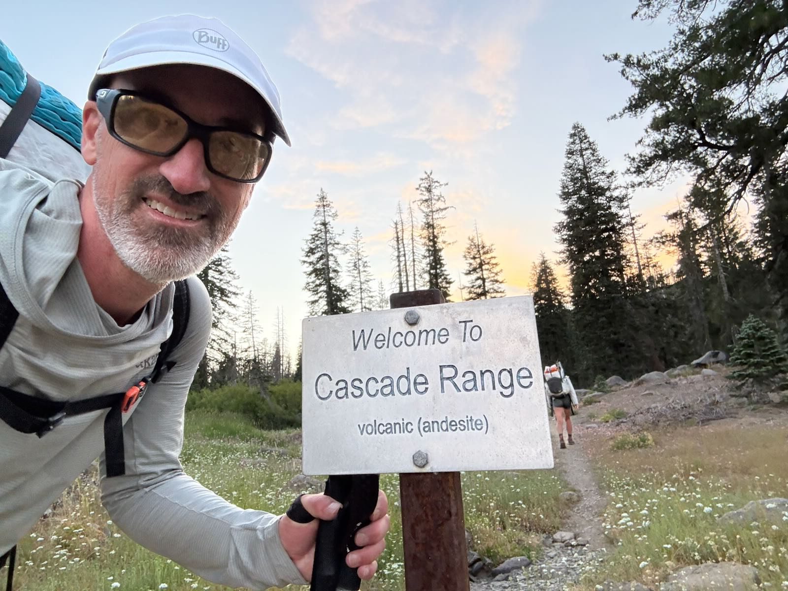
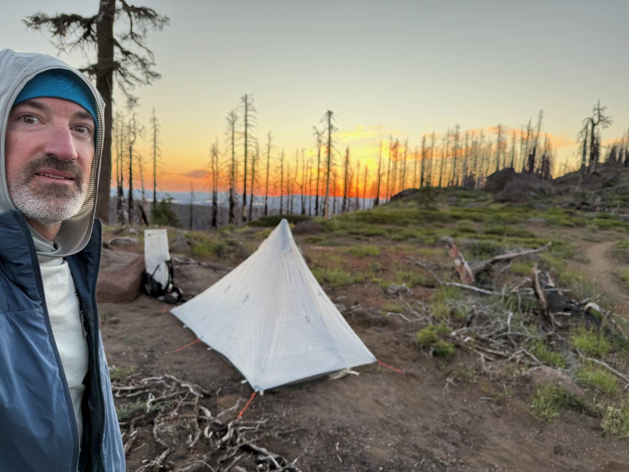
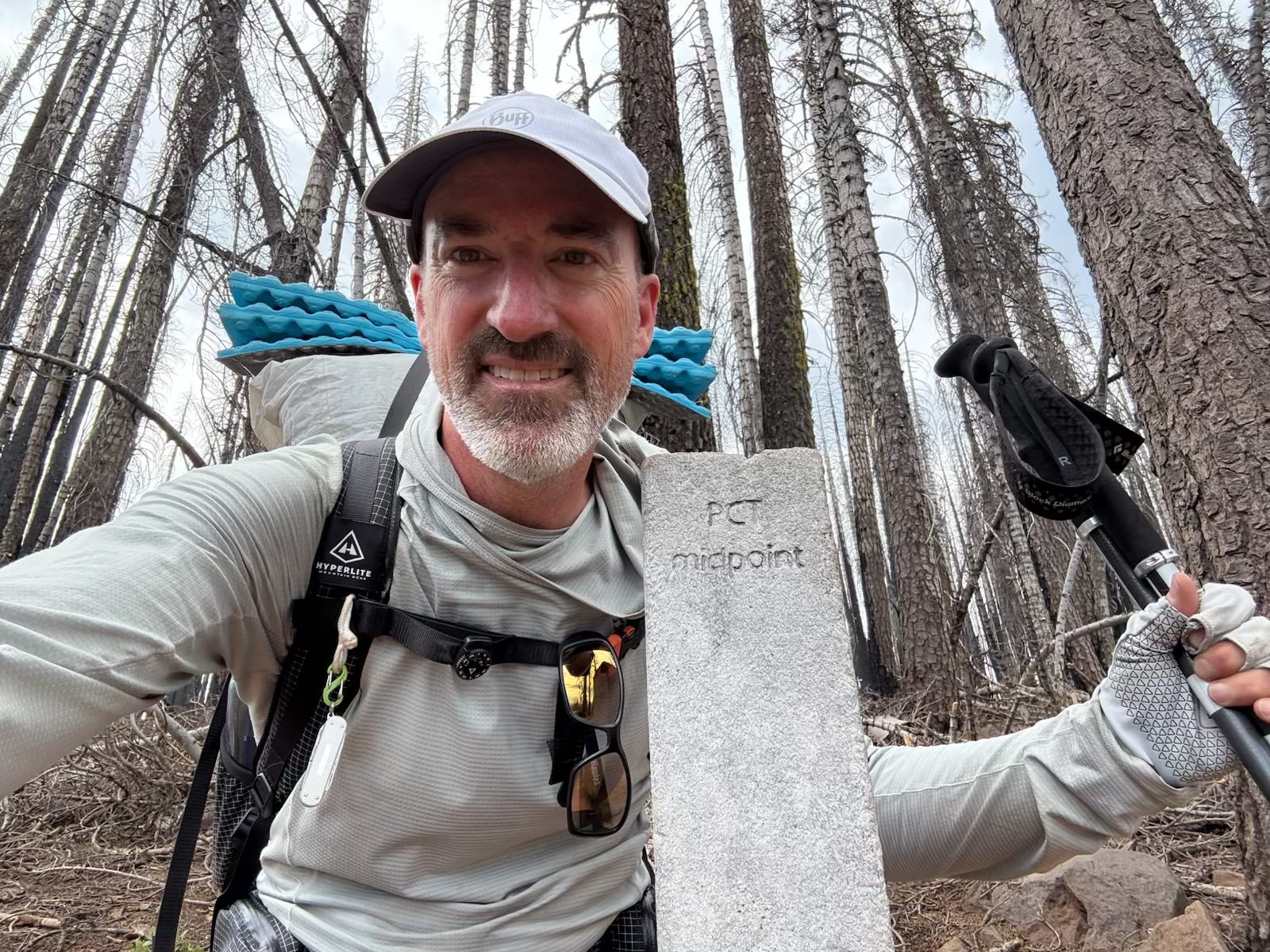
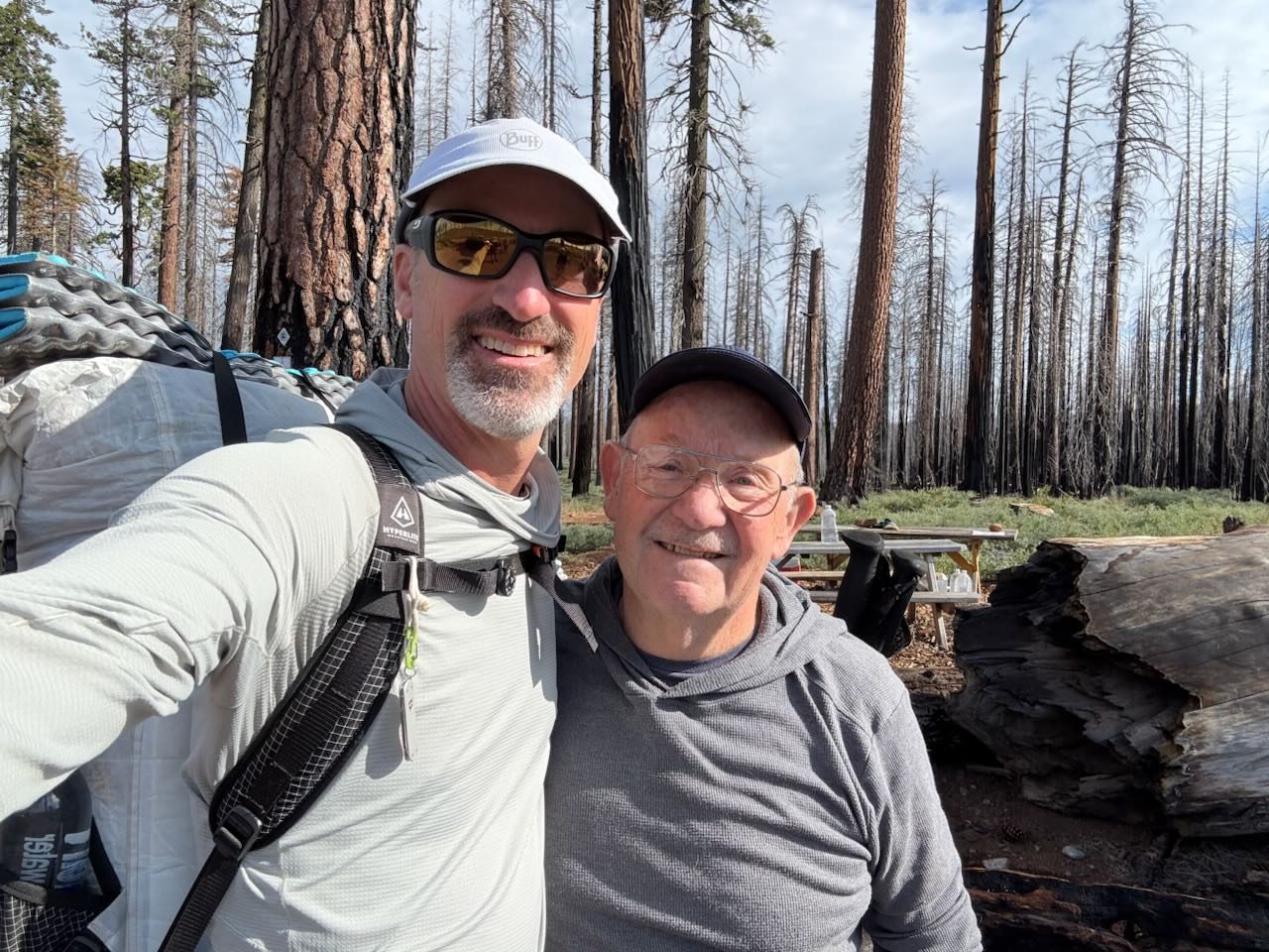
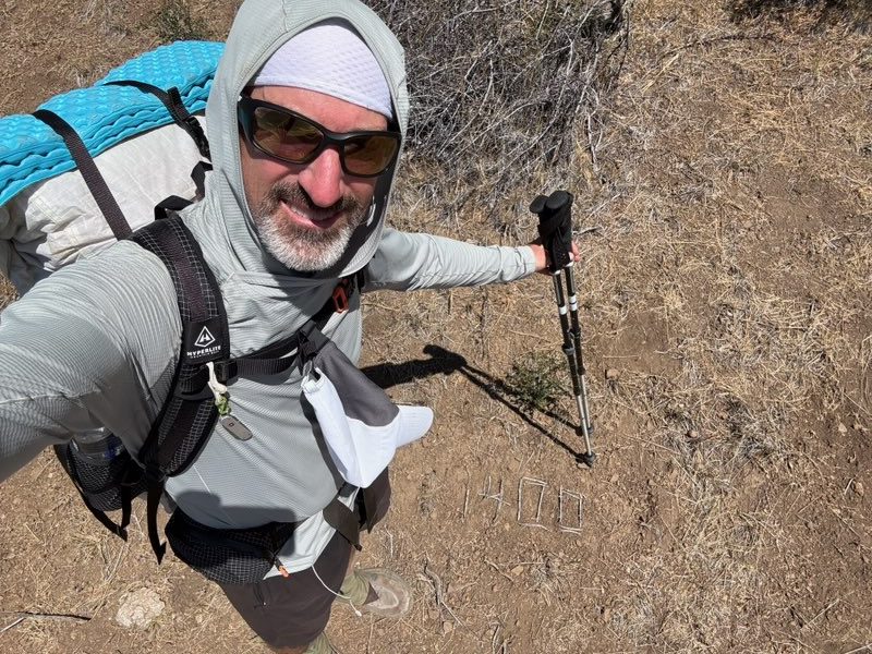
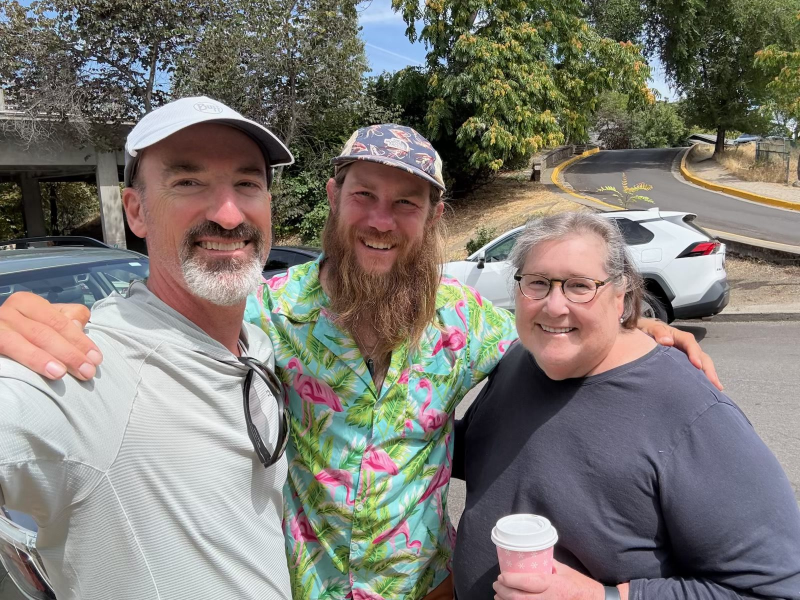
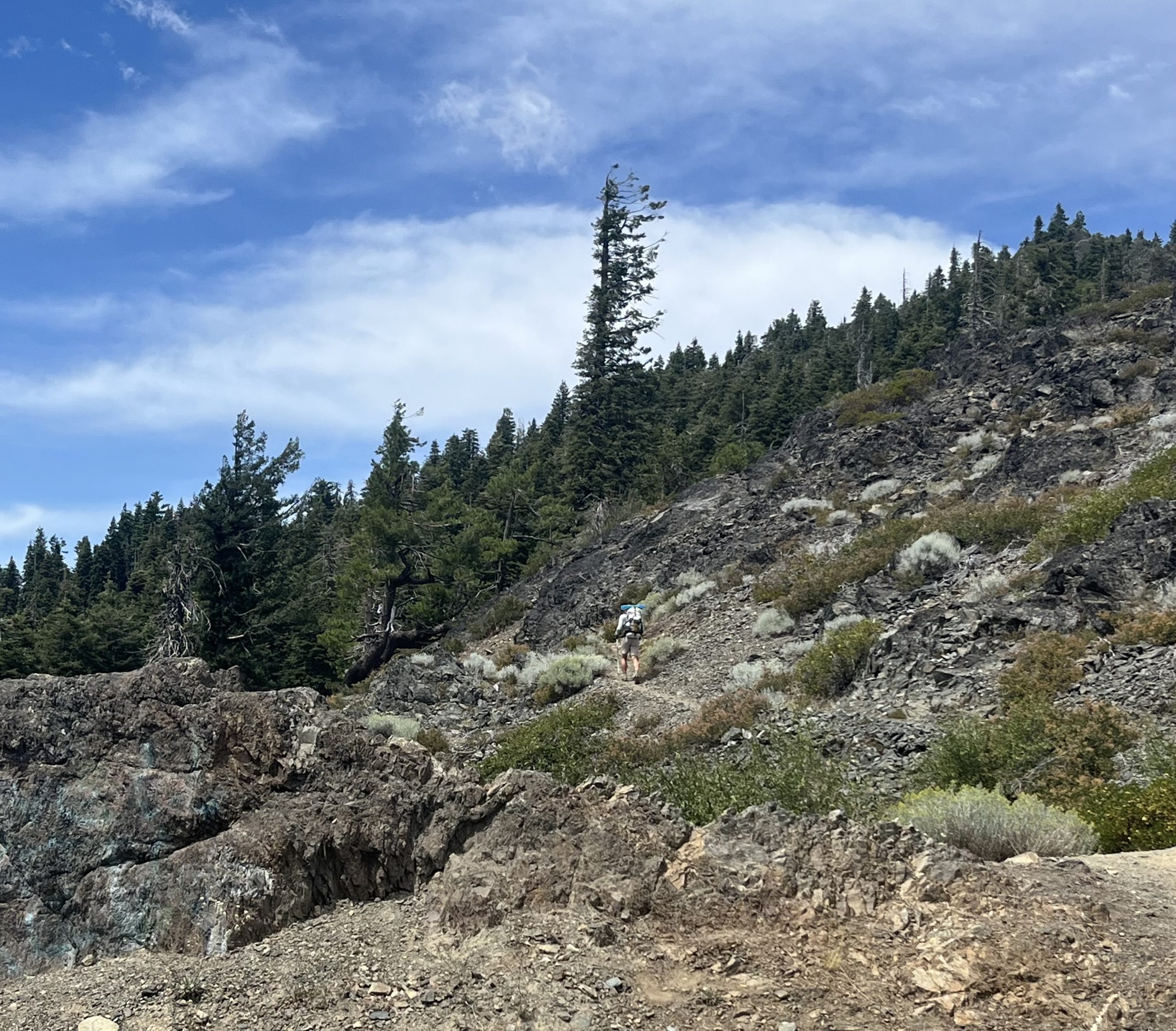
and passed the halfway marker!!!
Bob has been doing fantastic! Since he left at Donner Pass, he has gotten into his own rhythm, adjusted to his own agency. He’s going his own pace and getting the miles done. He has been able to reach thirty mile days consistently. That distance feels good in his body and the trail has been accommodating.
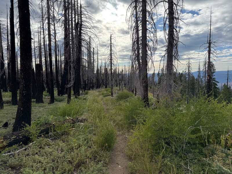
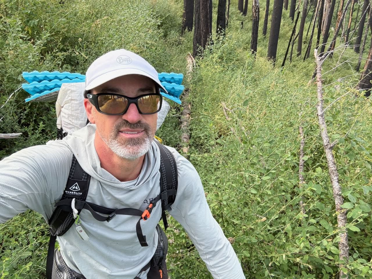
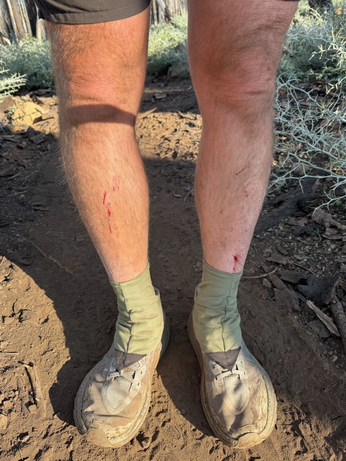
There was, however, a stretch which was quite overgrown. Bob suspects that while some PCT hikers stay on the main PCT route, most take the alternative route which is recommended. Bob chose to stay on the original trail. This was quite overgrown and did cut up his leg a bit. His right shin had been bothering him and after some time he did end up needing to get off trail and saw a doctor. They suspect a cut got infected and he is now on antibiotics and back on trail.
He has hiked again with Happy Meal, connected again with Bluegrass, but as always, with the time in town and pacing, they are not together anymore. It’s always a treat to reconnect up the trail.
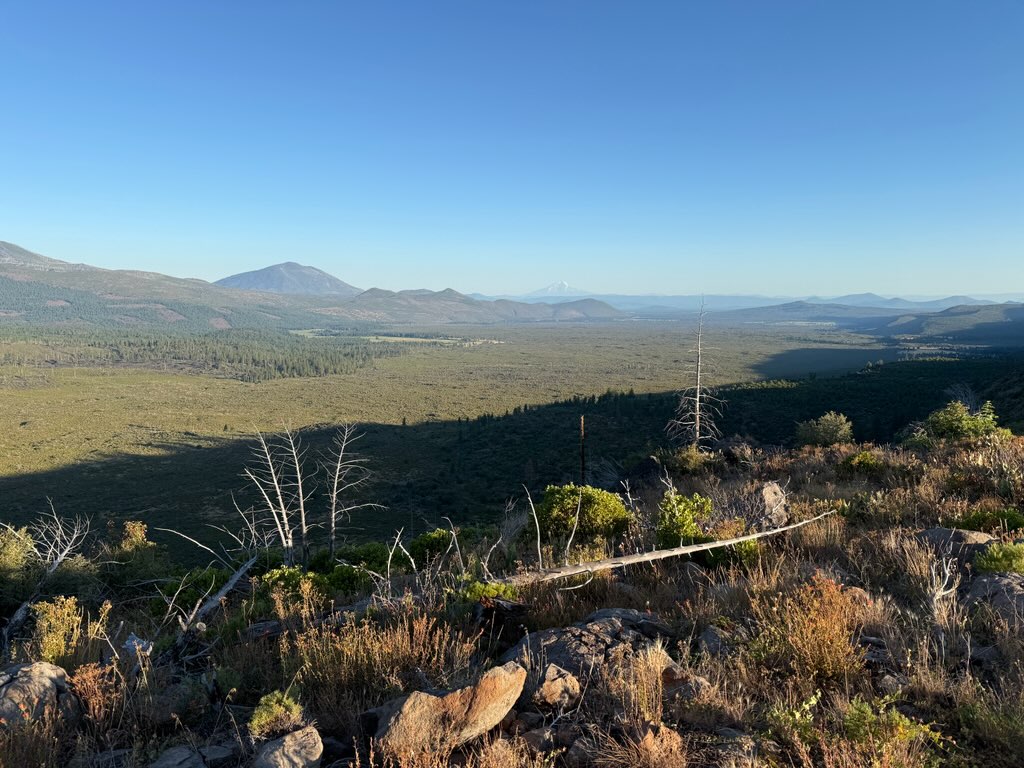
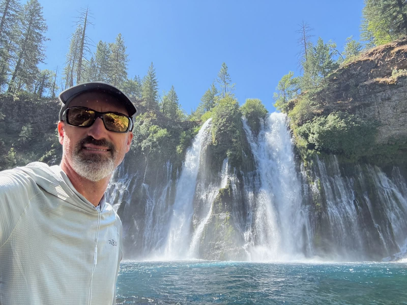
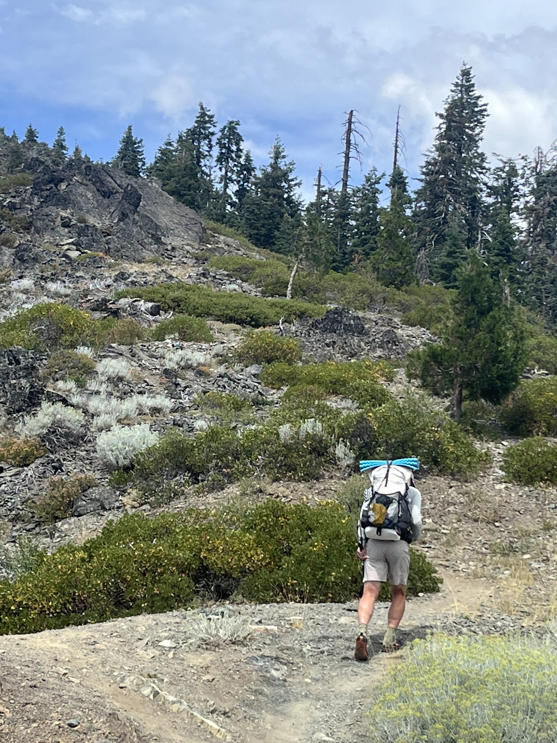
Meanwhile, my adventure has turned into a road trip. I made a list of things I’d like to see before. Some are on the PCT like Burney Falls, Crater Lake, and Tunnel Falls. I have never been to Portland or Seattle, so those went in the list. I sincerely wanted to simply read my book on the coast and also see the giant redwoods.
As it turned out, Livia (Sushi) was interested in joining me on this road trip. She had a similar wish list and we decided to join forces and take it day by day. It has fallen into place more perfectly than I could have predicted. I will be home again in a couple of weeks and then will do a post on our side adventure. 😜
Affiliate Disclosure
This website contains affiliate links, which means The Trek may receive a percentage of any product or service you purchase using the links in the articles or advertisements. The buyer pays the same price as they would otherwise, and your purchase helps to support The Trek’s ongoing goal to serve you quality backpacking advice and information. Thanks for your support!
To learn more, please visit the About This Site page.
-

 Brand Stories3 weeks ago
Bloom Hotels: A Modern Vision of Hospitality Redefining Travel
-

 Brand Stories2 weeks ago
CheQin.ai sets a new standard for hotel booking with its AI capabilities: empowering travellers to bargain, choose the best, and book with clarity.
-

 Destinations & Things To Do3 weeks ago
Untouched Destinations: Stunning Hidden Gems You Must Visit
-

 Destinations & Things To Do2 weeks ago
This Hidden Beach in India Glows at Night-But Only in One Secret Season
-

 AI in Travel3 weeks ago
AI Travel Revolution: Must-Have Guide to the Best Experience
-

 Brand Stories1 month ago
Voice AI Startup ElevenLabs Plans to Add Hubs Around the World
-

 Brand Stories4 weeks ago
How Elon Musk’s rogue Grok chatbot became a cautionary AI tale
-

 Brand Stories2 weeks ago
Contactless Hospitality: Why Remote Management Technology Is Key to Seamless Guest Experiences
-

 Asia Travel Pulse1 month ago
Looking For Adventure In Asia? Here Are 7 Epic Destinations You Need To Experience At Least Once – Zee News
-

 AI in Travel1 month ago
‘Will AI take my job?’ A trip to a Beijing fortune-telling bar to see what lies ahead | China
You must be logged in to post a comment Login